Elevation of Lake of the Woods County, MN, USA
Location: United States > Minnesota >
Longitude: -94.926547
Latitude: 48.6943855
Elevation: 365m / 1198feet
Barometric Pressure: 97KPa
Elevation Map:
Satellite Map:
Related Photos:

"Crop Burn" Lake of the Woods County Minnesota

"Crop Burn" Lake of the Woods County Minnesota

Boloria bellona

Coenagrion interrogatum

Penstemon gracilis
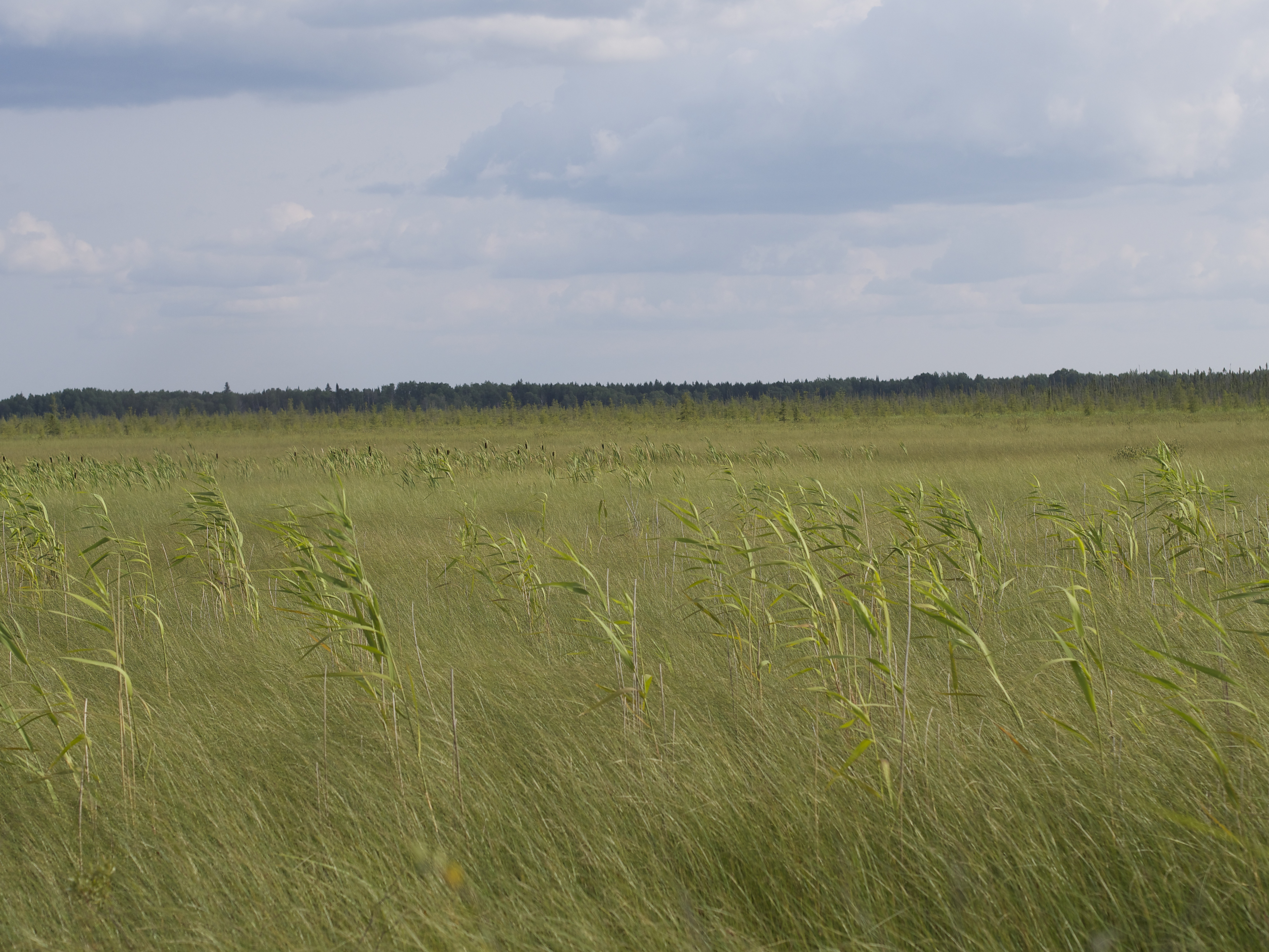
Brown's Bog

Agastache foeniculum

Sympetrum obtrusum

Leucorrhinia hudsonica

Leucorrhinia hudsonica

Leucorrhinia proxima

Coenagrion resolutum

Coenagrion interrogatum

Coenagrion interrogatum

Limenitis arthemis

Epitheca canis

Libellula quadrimaculata

Semotilus atromaculatus

Somatochlora minor

Aeshna eremita

Aeshna eremita

Enallagma ebrium

Coenagrion interrogatum

Castilleja coccinea
Topographic Map of Lake of the Woods County, MN, USA
Find elevation by address:

Places in Lake of the Woods County, MN, USA:
Places near Lake of the Woods County, MN, USA:
Roosevelt
Lakewood Township
Norris Camp
Rocky Point Rd NW, Williams, MN, USA
Main St, Baudette, MN, USA
Baudette
Dawson
218 4th St
Lake Of The Woods
81 Atwood 2 Rd
81 Atwood 2 Rd
Lake St NE, Warroad, MN, USA
Warroad
Angle Township
Enstrom Township
Beltrami County
Salol
47645 310th St
Rogers Rd NE, Kelliher, MN, USA
Main St E, Kelliher, MN, USA
Recent Searches:
- Elevation of Corso Fratelli Cairoli, 35, Macerata MC, Italy
- Elevation of Tallevast Rd, Sarasota, FL, USA
- Elevation of 4th St E, Sonoma, CA, USA
- Elevation of Black Hollow Rd, Pennsdale, PA, USA
- Elevation of Oakland Ave, Williamsport, PA, USA
- Elevation of Pedrógão Grande, Portugal
- Elevation of Klee Dr, Martinsburg, WV, USA
- Elevation of Via Roma, Pieranica CR, Italy
- Elevation of Tavkvetili Mountain, Georgia
- Elevation of Hartfords Bluff Cir, Mt Pleasant, SC, USA