Elevation of Lake Lanier, Georgia, USA
Location: United States > Georgia > Hall County > Flowery Branch >
Longitude: -83.969134
Latitude: 34.2218685
Elevation: 326m / 1070feet
Barometric Pressure: 97KPa
Elevation Map:
Satellite Map:
Related Photos:

Vanishing Point

The One Tree

I wish upon a star...

Federal Sunset

Breaking Storm

IMG_0615-100401

Puppy Love

IMG_0505-100331

Light of the Moon

February Morning

IMG_0643-100402

Calm after the Storm

Subtle Sunset

Sunset on Lanier

Point Break

Sunset - Mountain View Park

Night Light

Night Moves

Perfect Calm

Fire in the Sky

Sunset at Federal Park

Let there be light

Sunset at Van Pugh Park

Sun Kiss

Assuasive Moments

Heaven's Palette

Cold sunrise

Morning at War Hill

Spanning Glass
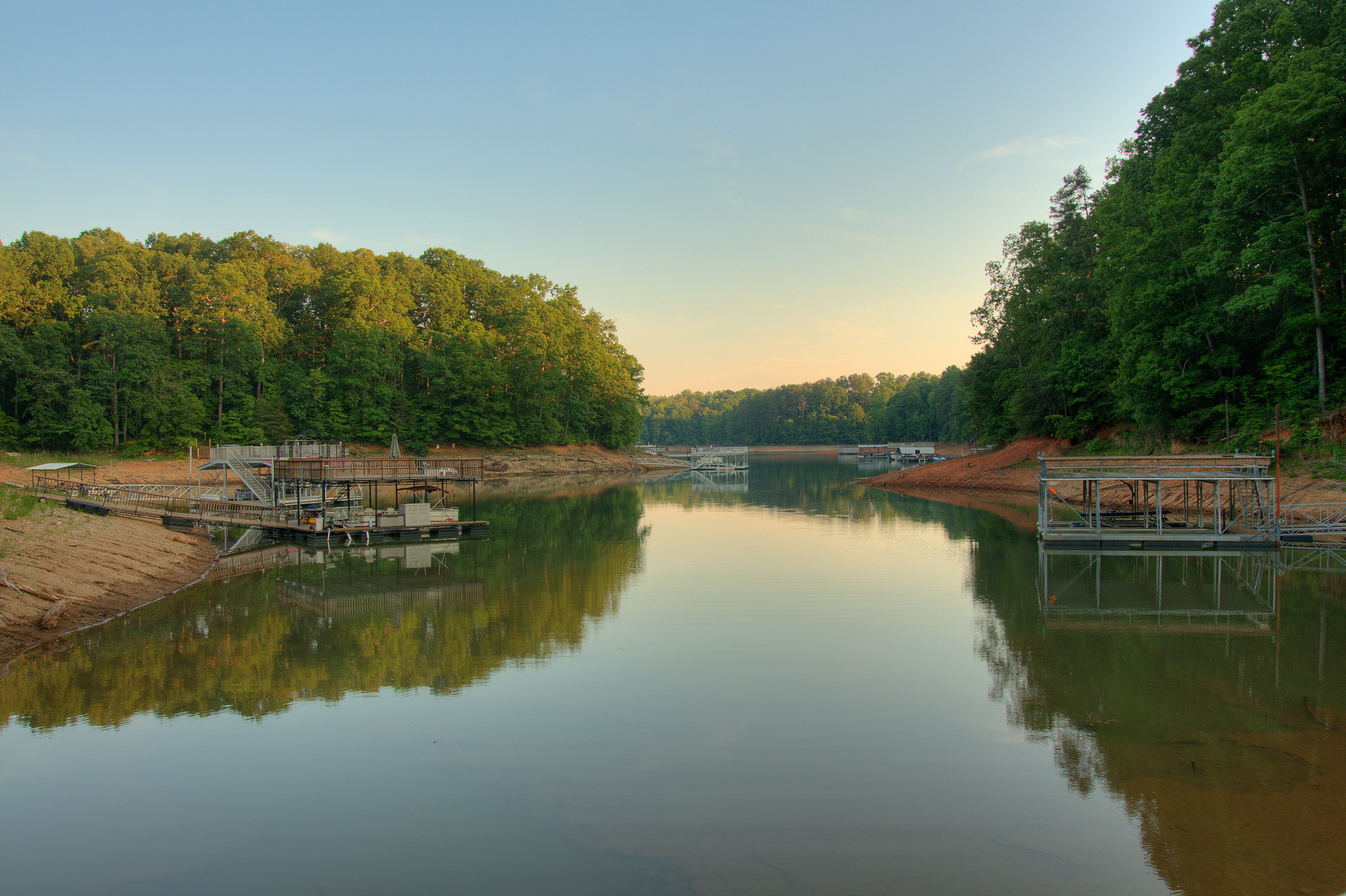
Harris Creek on Lake Lanier

Restless Skies
Topographic Map of Lake Lanier, Georgia, USA
Find elevation by address:

Places near Lake Lanier, Georgia, USA:
Vanns Tavern Rd, Gainesville, GA, USA
Old Federal Rd, Flowery Branch, GA, USA
Arborwood Dr, Flowery Branch, GA, USA
9085 Bethel Rd
Browns Bridge Road
Van Pugh North Park
6228 Cove Creek Dr
6228 Cove Creek Dr
Bluewaters Dr, Flowery Branch, GA, USA
Gaines Ferry Rd, Flowery Branch, GA, USA
Nags Head Cir, Gainesville, GA, USA
Shore Isle Court
5600 Pinewood Dr
Sherri Dr, Gainesville, GA, USA
Byers Rd, Gainesville, GA, USA
Flowery Branch
Blackberry Ln, Buford, GA, USA
Century Communities - Ashley Falls
Holiday Cir, Oakwood, GA, USA
Gay Ln, Gainesville, GA, USA
Recent Searches:
- Elevation of 72-31 Metropolitan Ave, Middle Village, NY, USA
- Elevation of 76 Metropolitan Ave, Brooklyn, NY, USA
- Elevation of Alisal Rd, Solvang, CA, USA
- Elevation of Vista Blvd, Sparks, NV, USA
- Elevation of 15th Ave SE, St. Petersburg, FL, USA
- Elevation of Beall Road, Beall Rd, Florida, USA
- Elevation of Leguwa, Nepal
- Elevation of County Rd, Enterprise, AL, USA
- Elevation of Kolchuginsky District, Vladimir Oblast, Russia
- Elevation of Shustino, Vladimir Oblast, Russia