Elevation of Lake, KS, USA
Location: United States > Kansas > Harvey County >
Longitude: -97.633113
Latitude: 37.9634998
Elevation: 436m / 1430feet
Barometric Pressure: 96KPa
Elevation Map:
Satellite Map:
Related Photos:
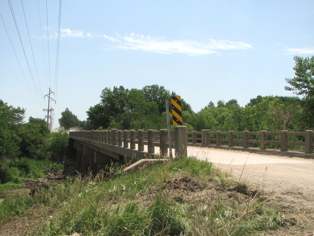
Side View: Little Arkansas River Bridge
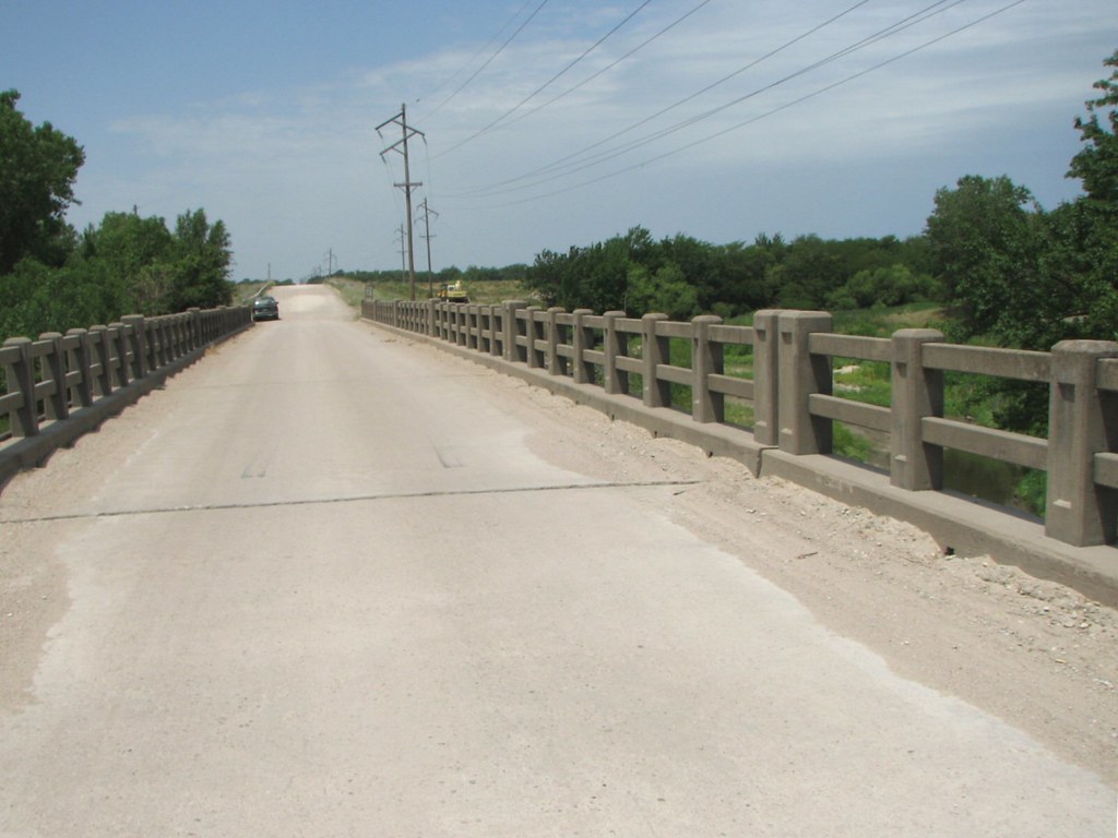
Deck View: Little Arkansas River
High and dry ???? @nikonindonesia DF with 70-200mm f/2.8 VRII

@visitthemurray is not about river but there's a small "mountain" called Mt. Hope, great place for small hiking activity #visitthemurray

Evening Sky

Kansas Sunset
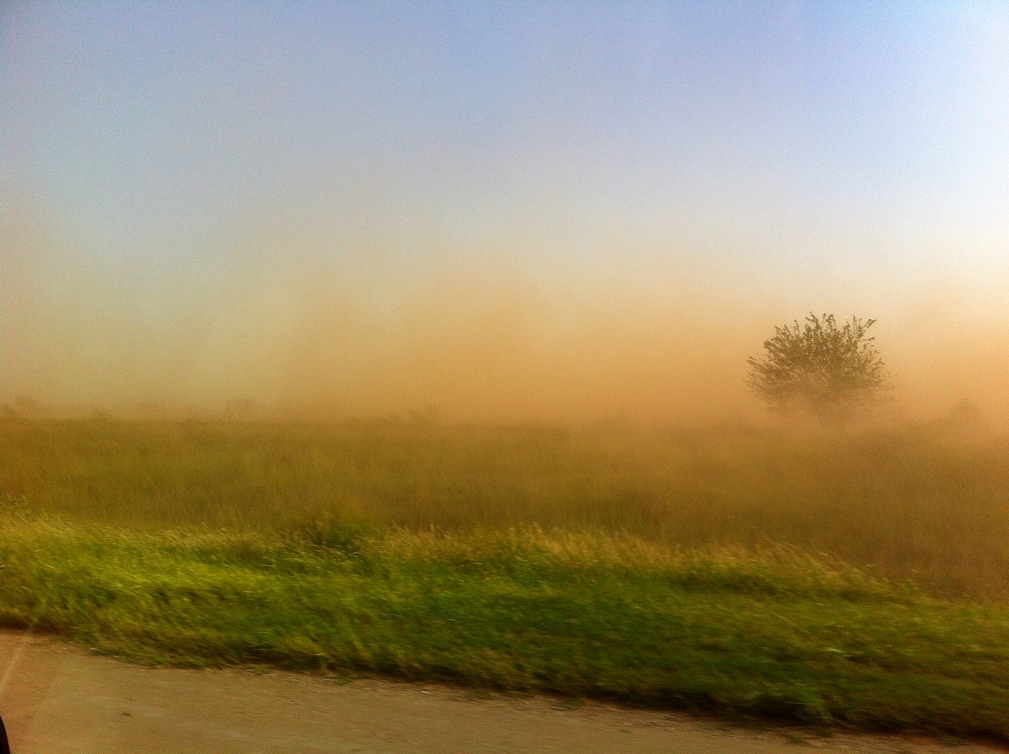
Dust cloud

Kansas sunset

Bridge 1018-02
Mount Hope in the golden sunlight @visitthemurray #visitthemurray

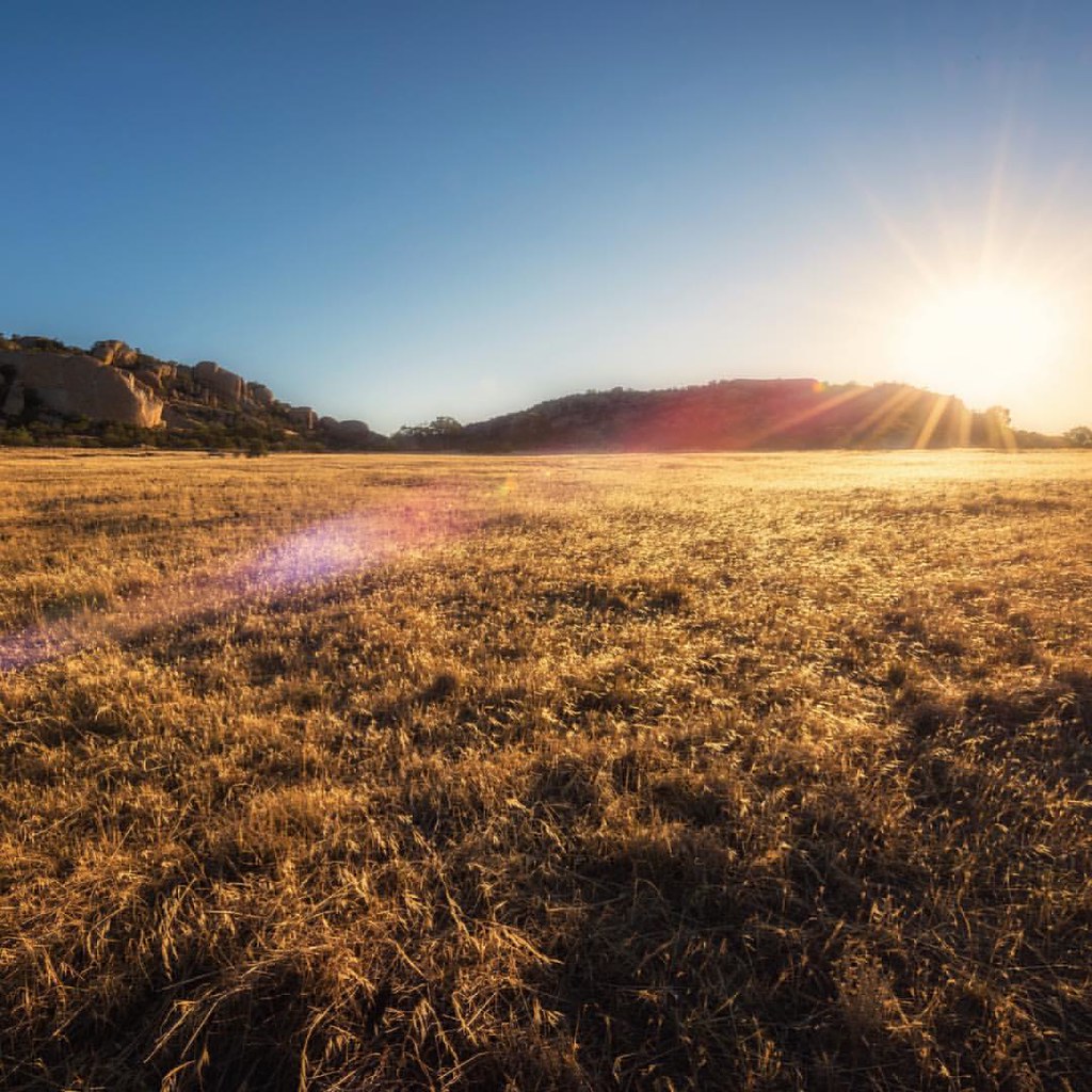
backlit grasses

Trappers Rendezvous at Harvey County Park West
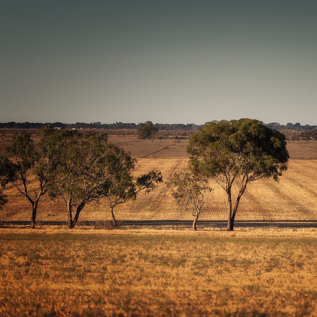
Masters of the Plains
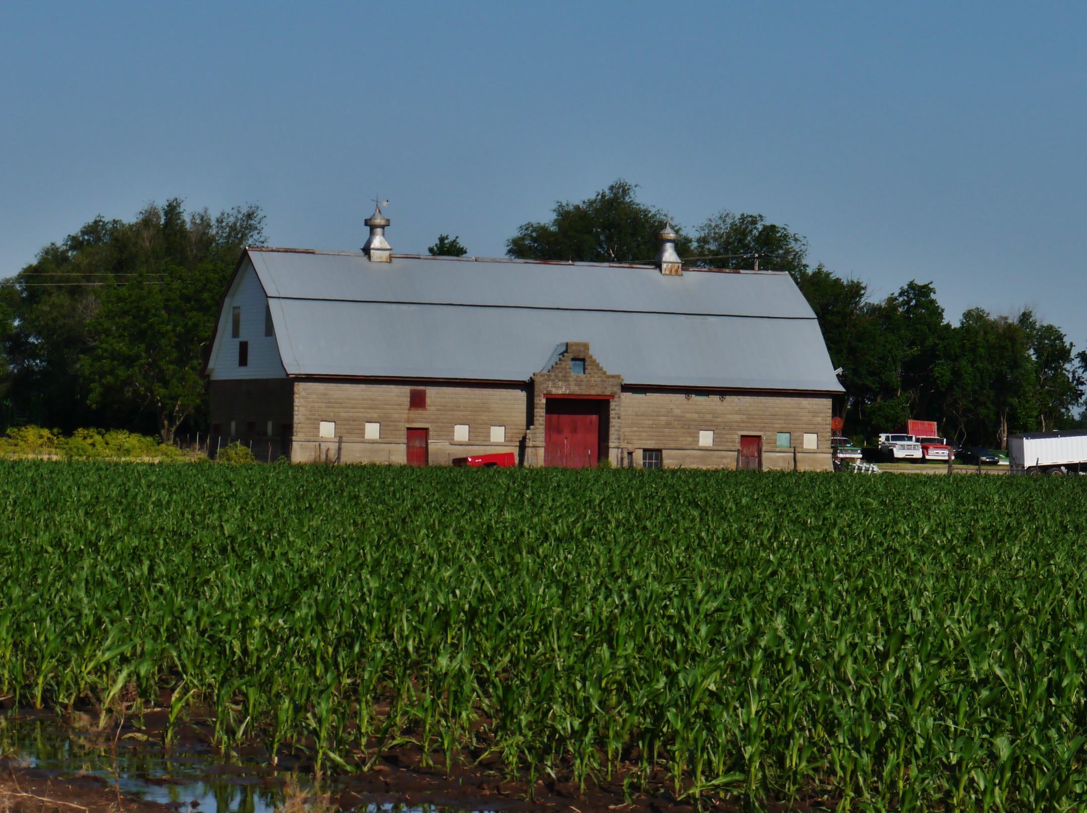
60412-01, Sedgwick County Kansas Barn

a "lake" at the campground
Google Burrton, Kansas.
Topographic Map of Lake, KS, USA
Find elevation by address:

Places in Lake, KS, USA:
Places near Lake, KS, USA:
S Patterson Rd, Burrton, KS, USA
West Lake
Main St, Andale, KS, USA
Union
Chicago Ave, Colwich, KS, USA
Colwich
Yoder
Sedgwick
N th St W, Maize, KS, USA
E Maple Grove Rd, Mt Hope, KS, USA
Lawrence St, Yoder, KS, USA
Yoder
Maize
Garden Plain
Fieldstone Apartments
W 13th St N, Garden Plain, KS, USA
Ascension Via Christi St. Teresa
Attica
Valley Center
3211 Brush Creek St
Recent Searches:
- Elevation of Corso Fratelli Cairoli, 35, Macerata MC, Italy
- Elevation of Tallevast Rd, Sarasota, FL, USA
- Elevation of 4th St E, Sonoma, CA, USA
- Elevation of Black Hollow Rd, Pennsdale, PA, USA
- Elevation of Oakland Ave, Williamsport, PA, USA
- Elevation of Pedrógão Grande, Portugal
- Elevation of Klee Dr, Martinsburg, WV, USA
- Elevation of Via Roma, Pieranica CR, Italy
- Elevation of Tavkvetili Mountain, Georgia
- Elevation of Hartfords Bluff Cir, Mt Pleasant, SC, USA