Elevation of Lake Cheohee Rd, Tamassee, SC, USA
Location: United States > South Carolina > Oconee County > Tamassee >
Longitude: -83.069822
Latitude: 34.9337048
Elevation: 365m / 1198feet
Barometric Pressure: 97KPa
Elevation Map:
Satellite Map:
Related Photos:
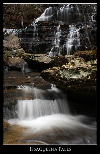
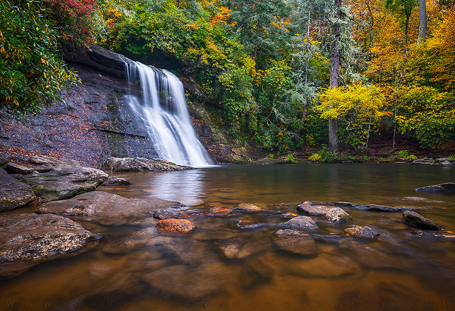
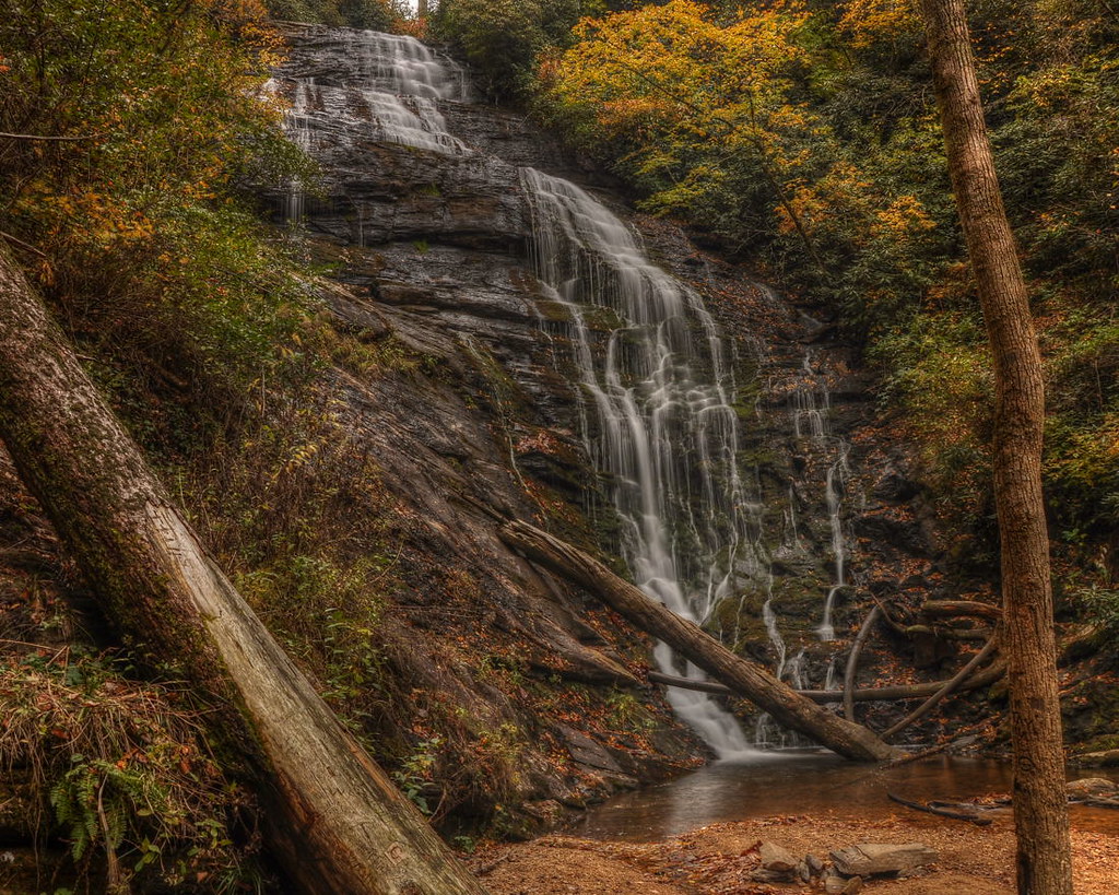
Issaqueena Falls
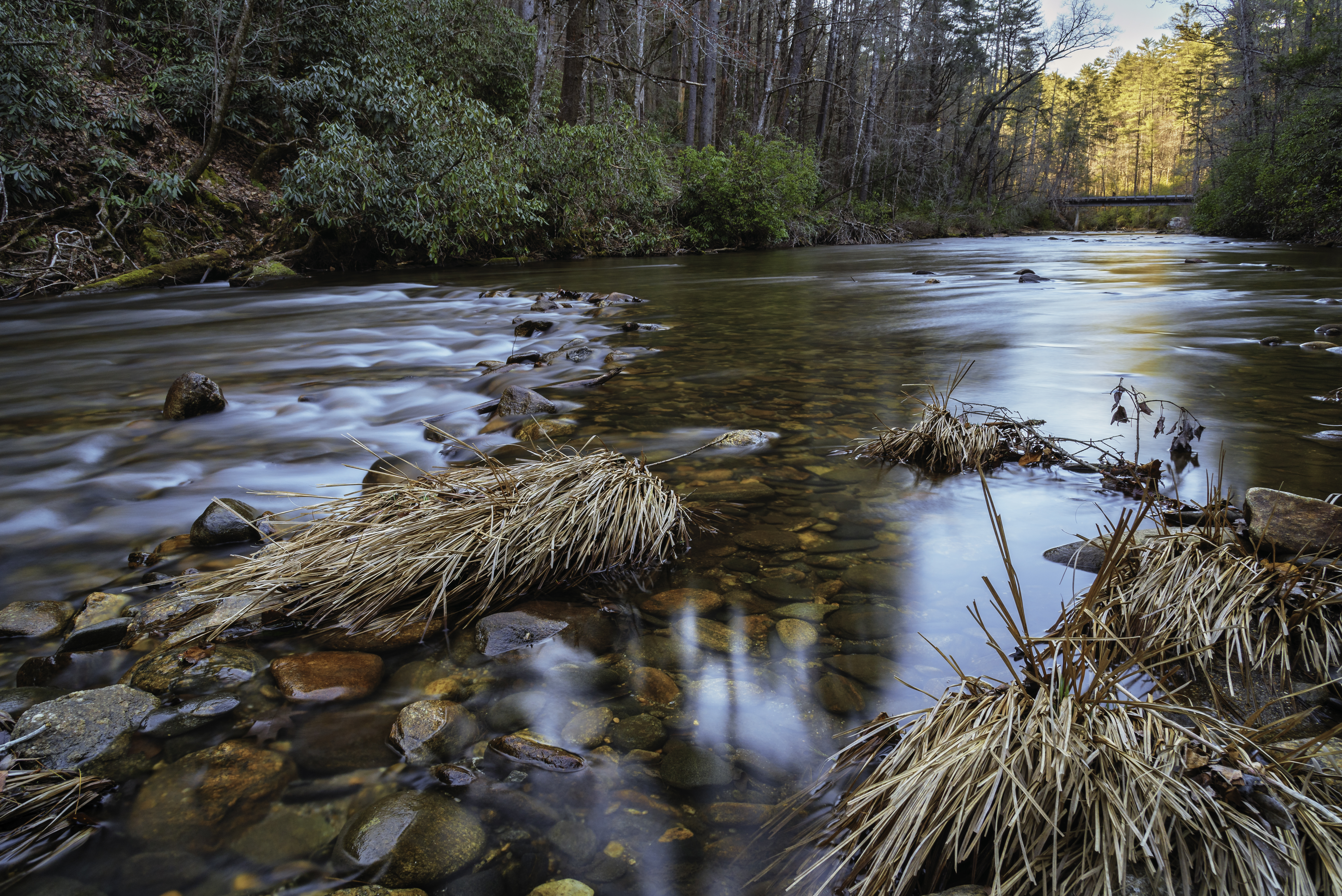
West Fork of the Chattooga River
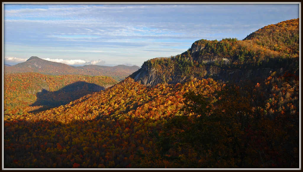
The Shadow Of The Bear - Published WLOS-TV & Associated Press

Sunset view at boat ramp panorama
Isaqueena Falls

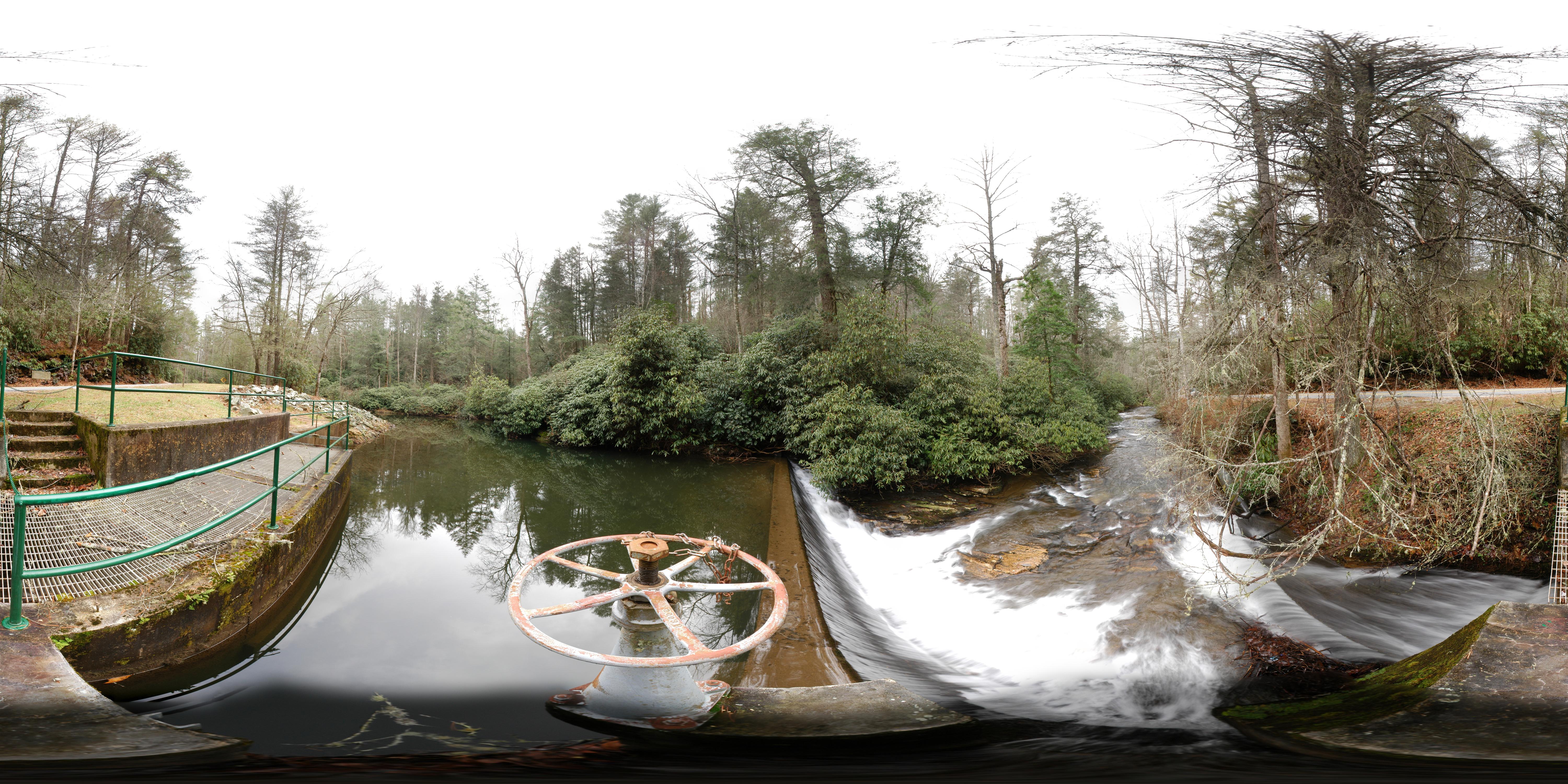
Walhalla State Fish Hatchery - Raceway
North Carolina Nature Silver Run Falls Waterfall Photography

Gentle Light
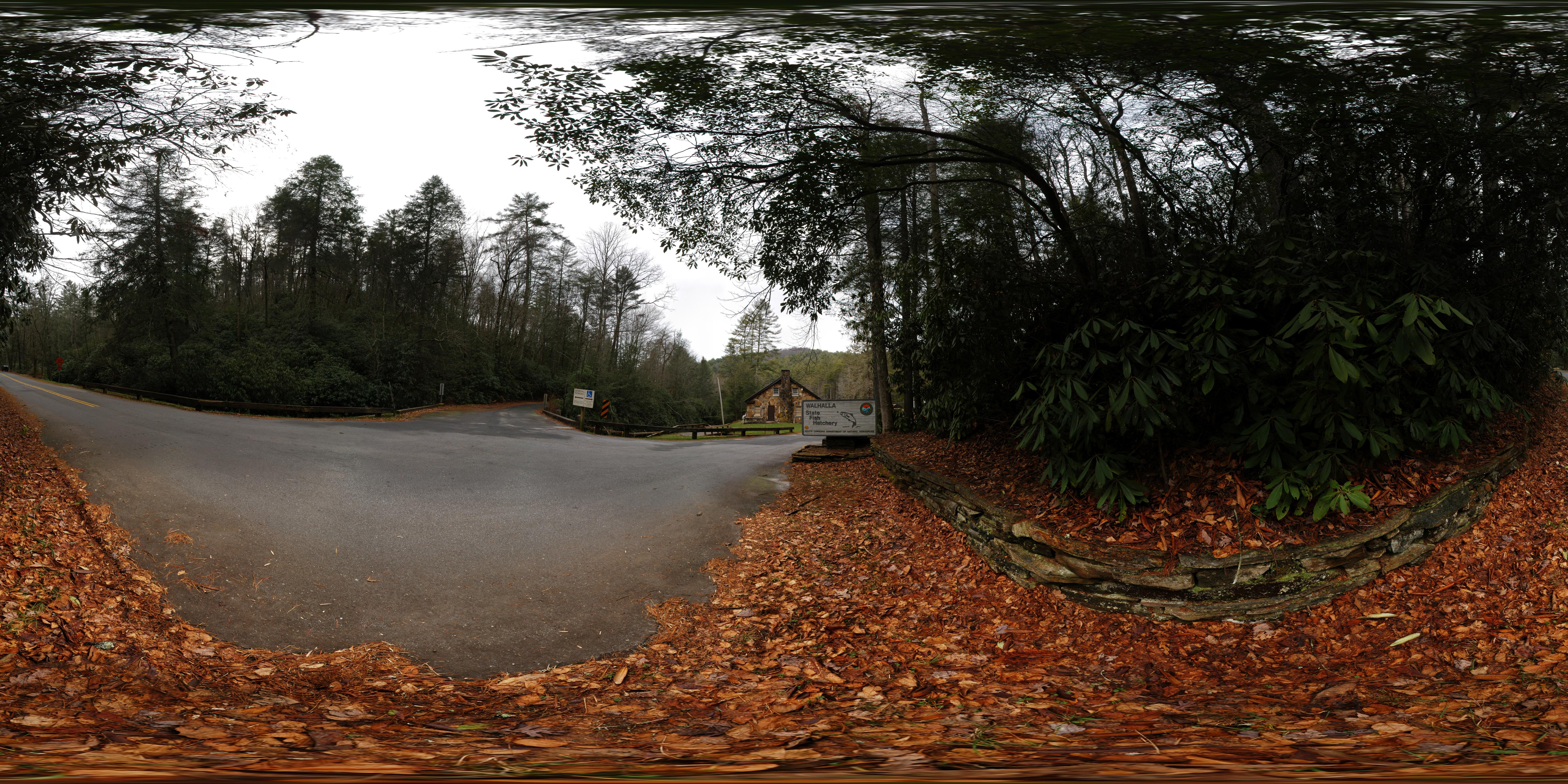
Wallhalla State Fish Hatchery
Wallhalla State Fish Hatchery
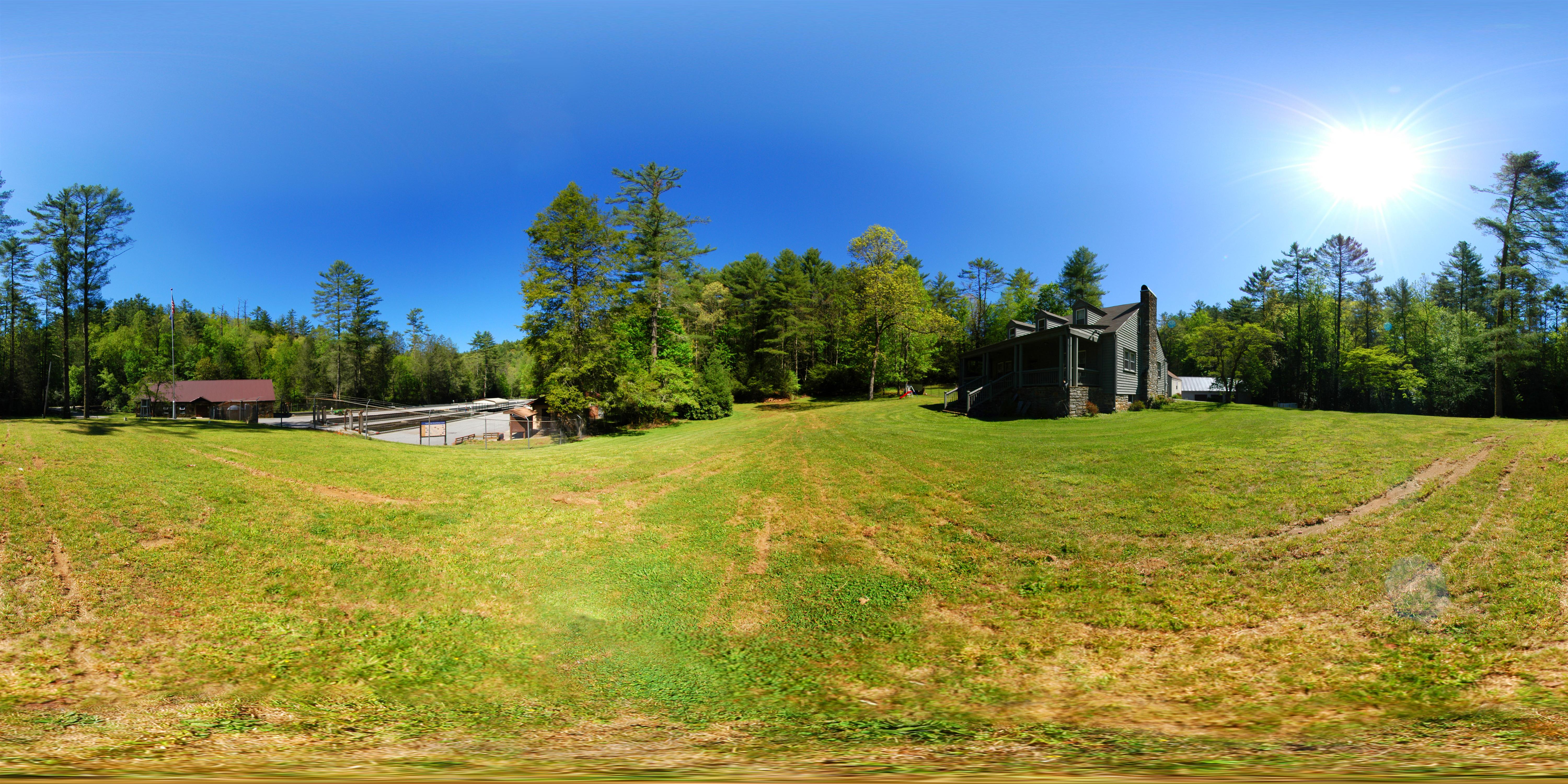
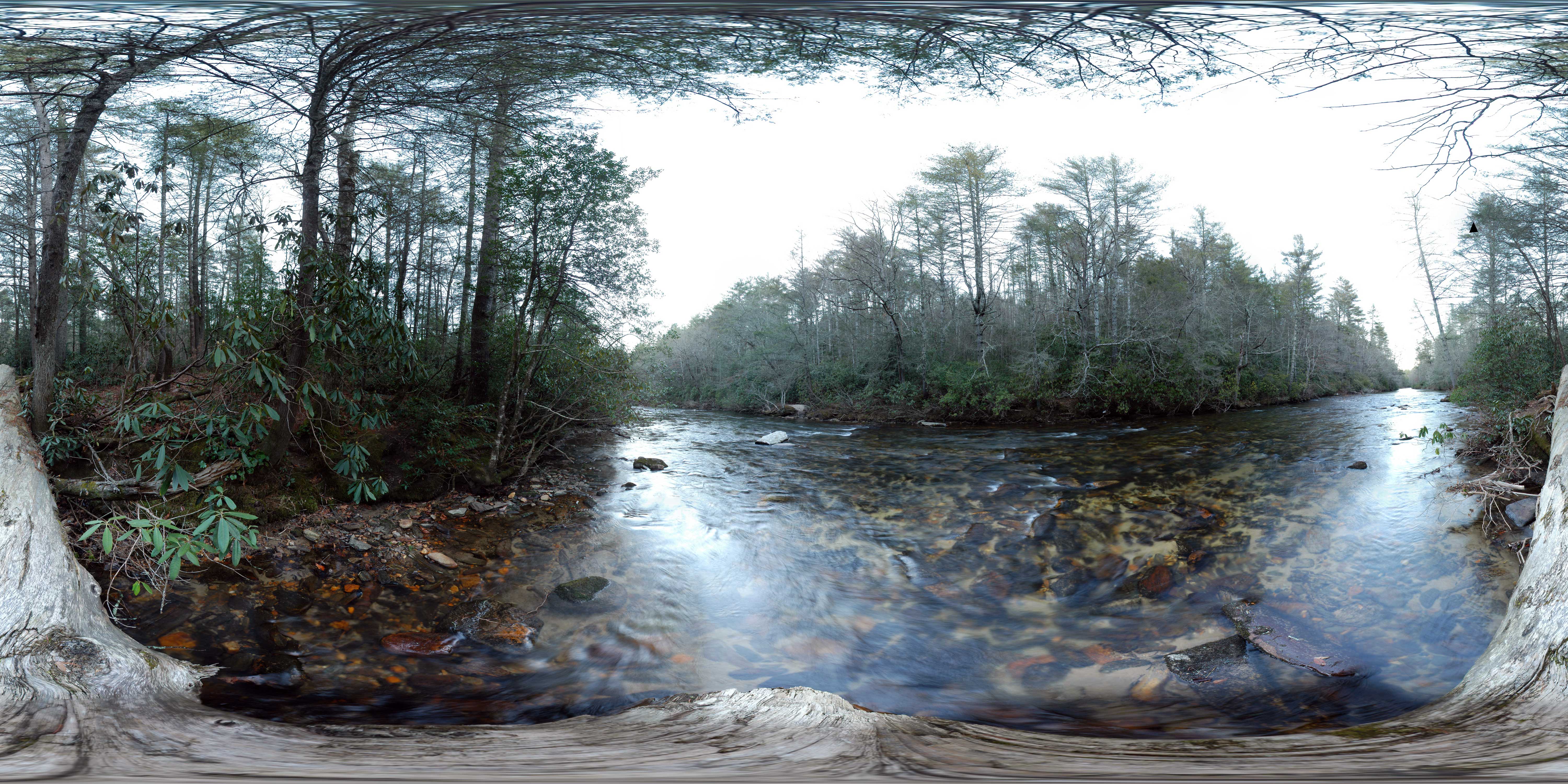
Front Yard (360° panorama)

Miss Sunshine

docked for the night

Bridge over troubled water

Travel into the night
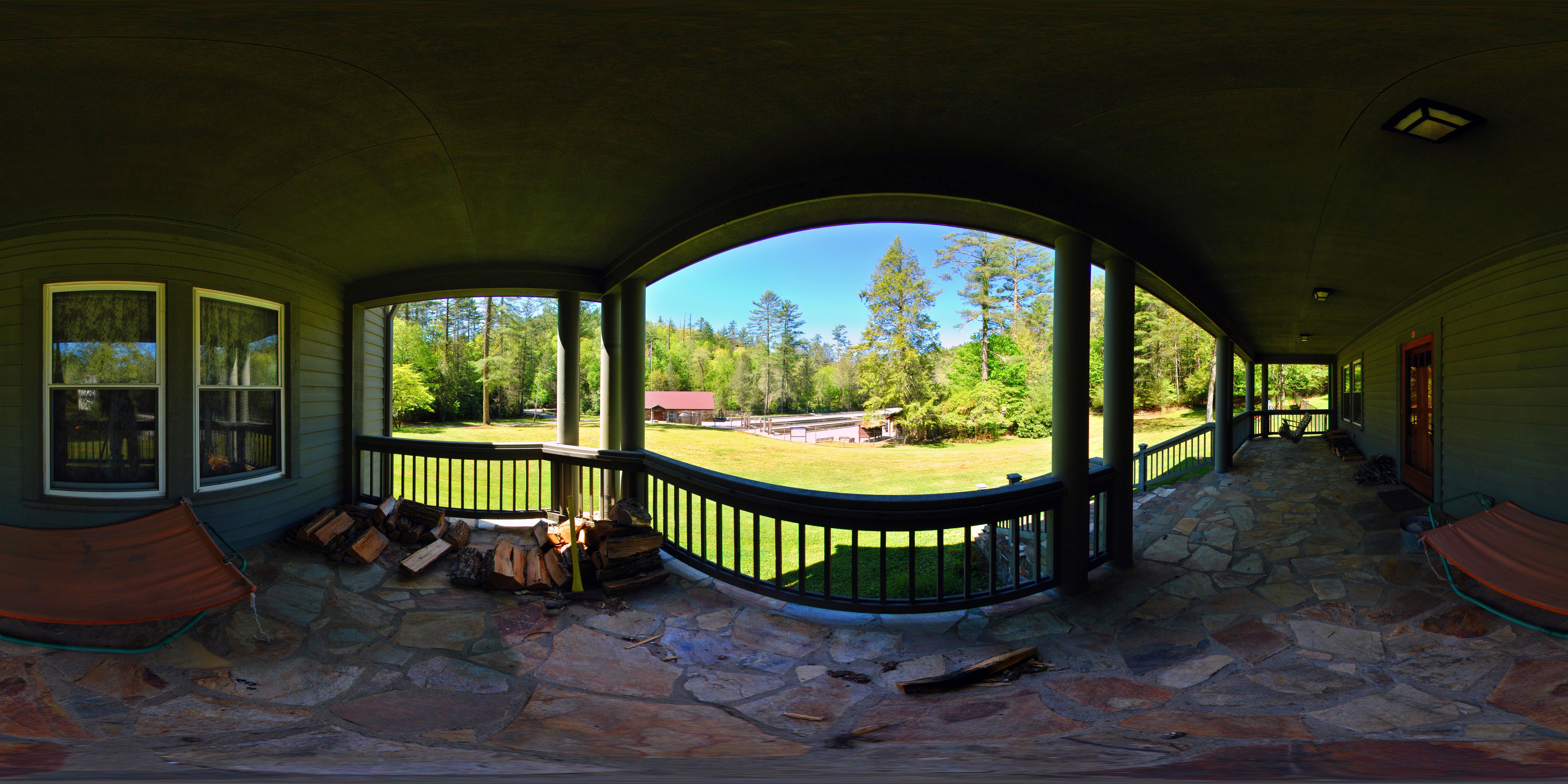
Front Porch

Walhalla State Fish Hatchery - Fish House

Appalachian Pygmy Pipes, Sweet Pinesap (Monotropsis odorata)
Chattooga River at Burrells Ford

Sweet Dreams
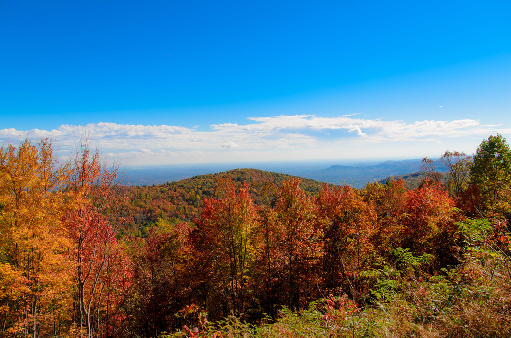
Mountain View
Chatooga River
Station Cove Falls [EXPLORED]
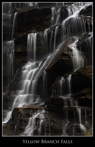
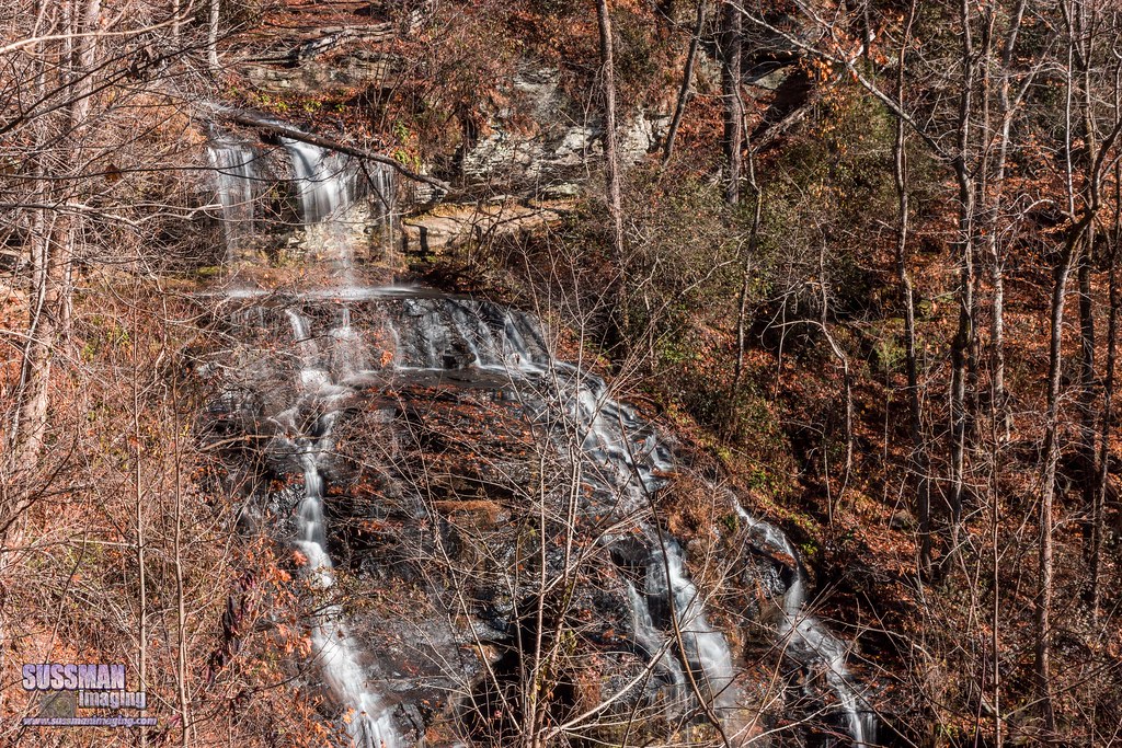
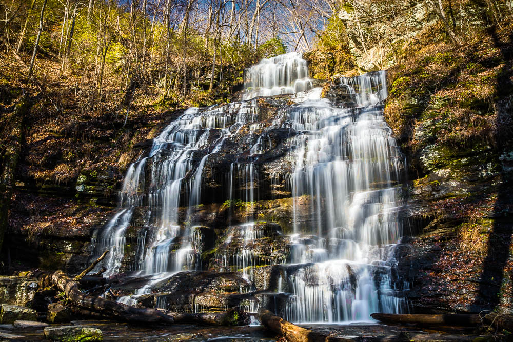
Yellow Branch Falls, Isolation
Cool Retreat
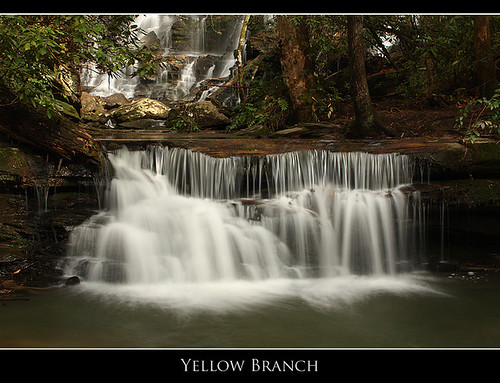
Below Yellow Branch Falls

Issaqueena Falls

Secret Falls
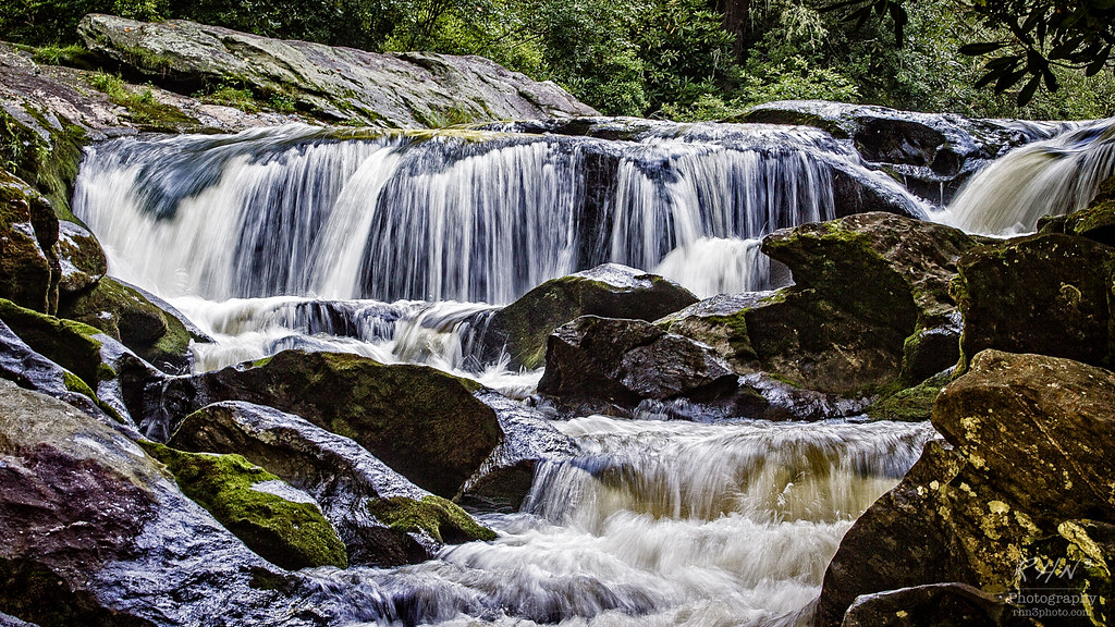
Kings Creek Falls - South Carolina.

Secret Falls

Along side the trail

John's Jump

Whitewater Falls - North Carolina.
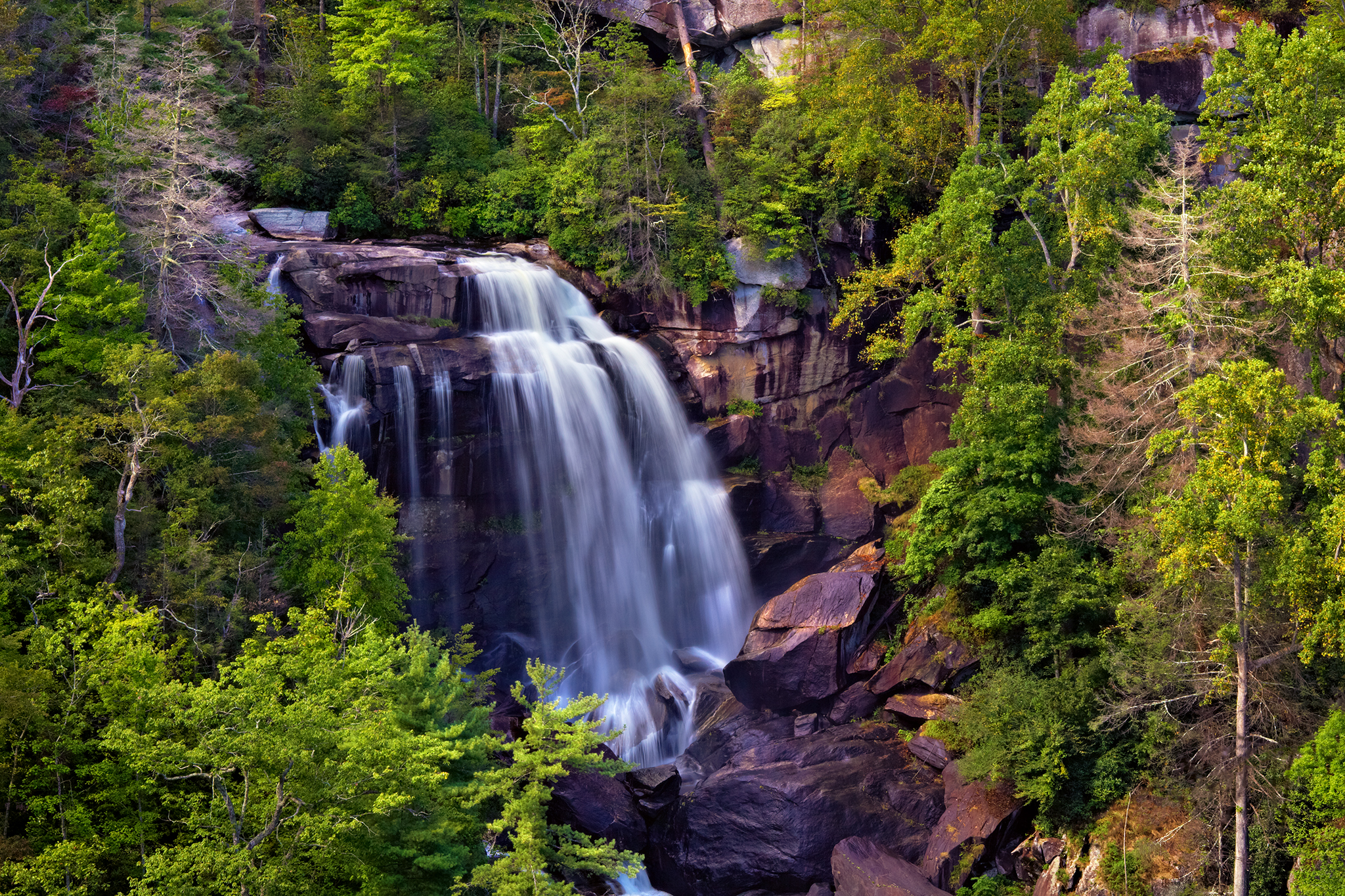
Whitewater Falls

Chattooga River, Chattooga Wild and Scenic River, Nantahala National Forest, Macon and Jackson Counties, North Carolina 1
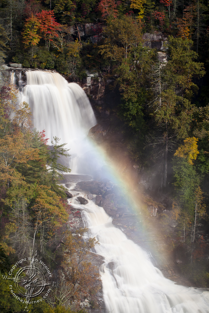
Whitewater Falls w/Fogbow

The Wild & Scenic Chattooga River
Topographic Map of Lake Cheohee Rd, Tamassee, SC, USA
Find elevation by address:

Places near Lake Cheohee Rd, Tamassee, SC, USA:
Cherry Hill Recreation Area
South Carolina 107
809 Cherokee Hills Cir
665 The Bear Blvd
831 Lenore B Ln
505 Azalea Dr
325 Dynamite Rd
325 Dynamite Rd
483 Tamassee Knob Rd
Village Creek Road
Tamassee
Oconee State Park
Oconee State Park Lake Number One
150 Spring Valley Dr
Camp Oak Cir, Walhalla, SC, USA
198 Old Turnpike Rd
137 Lakeside Dr
190 Lakeside Dr
355 Big Oak Trail
681 Chattooga Lake Rd
Recent Searches:
- Elevation of Crocker Dr, Vacaville, CA, USA
- Elevation of Pu Ngaol Community Meeting Hall, HWHM+3X7, Krong Saen Monourom, Cambodia
- Elevation of Royal Ontario Museum, Queens Park, Toronto, ON M5S 2C6, Canada
- Elevation of Groblershoop, South Africa
- Elevation of Power Generation Enterprises | Industrial Diesel Generators, Oak Ave, Canyon Country, CA, USA
- Elevation of Chesaw Rd, Oroville, WA, USA
- Elevation of N, Mt Pleasant, UT, USA
- Elevation of 6 Rue Jules Ferry, Beausoleil, France
- Elevation of Sattva Horizon, 4JC6+G9P, Vinayak Nagar, Kattigenahalli, Bengaluru, Karnataka, India
- Elevation of Great Brook Sports, Gold Star Hwy, Groton, CT, USA