Elevation of Lake Anita State Park, th St, Anita, IA, USA
Location: United States > Iowa > Cass County > Grant > Anita >
Longitude: -94.761929
Latitude: 41.432672
Elevation: -10000m / -32808feet
Barometric Pressure: 295KPa
Elevation Map:
Satellite Map:
Related Photos:

IAIS 7081 - W Adair, IA

IAIS 718 - Adair, IA

Rural Power

Lake Anita State Park, Iowa
Camera Roll-9

happy trees

White Pole Road in Rural Iowa (DTA_4611)

100113-005F

Camera Roll-8
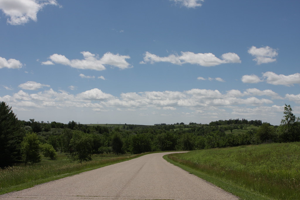
Lake Anita State Park

Mysterious Traveler

IAIS 513 Anita

Lake Anita State Park

DENCBBIGAL - Switching - Anita IA

Lake Anita State Park

Lake Anita

Lake Anita

dam farm

IAIS 508 West of Adair

0U1A8175 Massena IA - Massena Cemetery - LANGWORTHY

0U1A8208 Massena IA - Massena Cemetery - LANGWORTHY

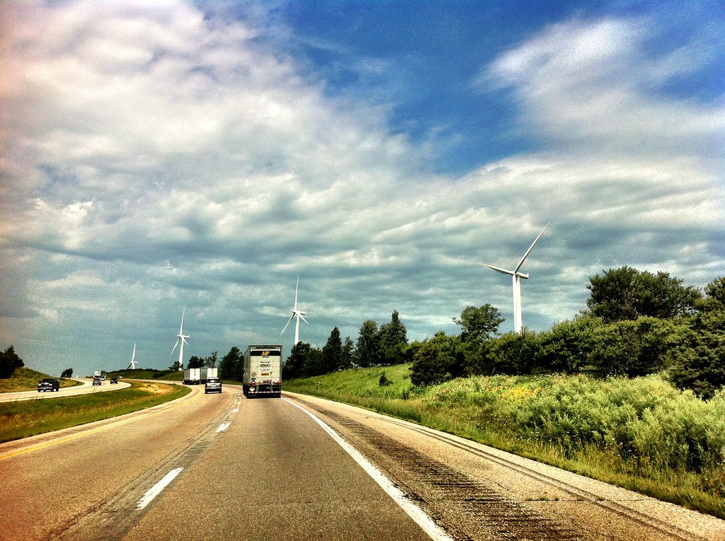
Wind Turbines

IAIS 154 - Ballast Empty - Anita IA
Topographic Map of Lake Anita State Park, th St, Anita, IA, USA
Find elevation by address:

Places near Lake Anita State Park, th St, Anita, IA, USA:
1000 Hillcrest Dr
Anita
Main St, Anita, IA, USA
Grant
68899 Hamburg Rd
Wiota
110 Allen St
Franklin
Adair
60768 690th St
Exira
th St, Atlantic, IA, USA
Exira
W Washington St, Exira, IA, USA
3271 Us-71
Brayton
th St, Adair, IA, USA
Bear Grove
1307 E 7th St
Grove
Recent Searches:
- Elevation of Fernwood, Bradenton, FL, USA
- Elevation of Felindre, Swansea SA5 7LU, UK
- Elevation of Leyte Industrial Development Estate, Isabel, Leyte, Philippines
- Elevation of W Granada St, Tampa, FL, USA
- Elevation of Pykes Down, Ivybridge PL21 0BY, UK
- Elevation of Jalan Senandin, Lutong, Miri, Sarawak, Malaysia
- Elevation of Bilohirs'k
- Elevation of 30 Oak Lawn Dr, Barkhamsted, CT, USA
- Elevation of Luther Road, Luther Rd, Auburn, CA, USA
- Elevation of Unnamed Road, Respublika Severnaya Osetiya — Alaniya, Russia