Elevation of Lairg IV27 4EH, UK
Location: United Kingdom > Highland > Lairg >
Longitude: -4.4024247
Latitude: 58.0303172
Elevation: 124m / 407feet
Barometric Pressure: 100KPa
Elevation Map:
Satellite Map:
Related Photos:
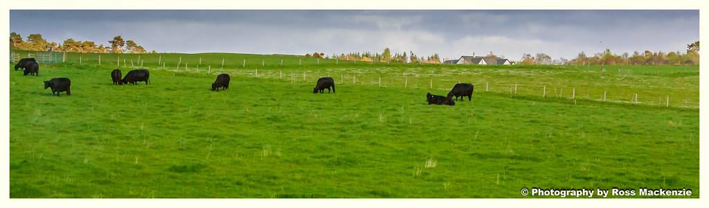
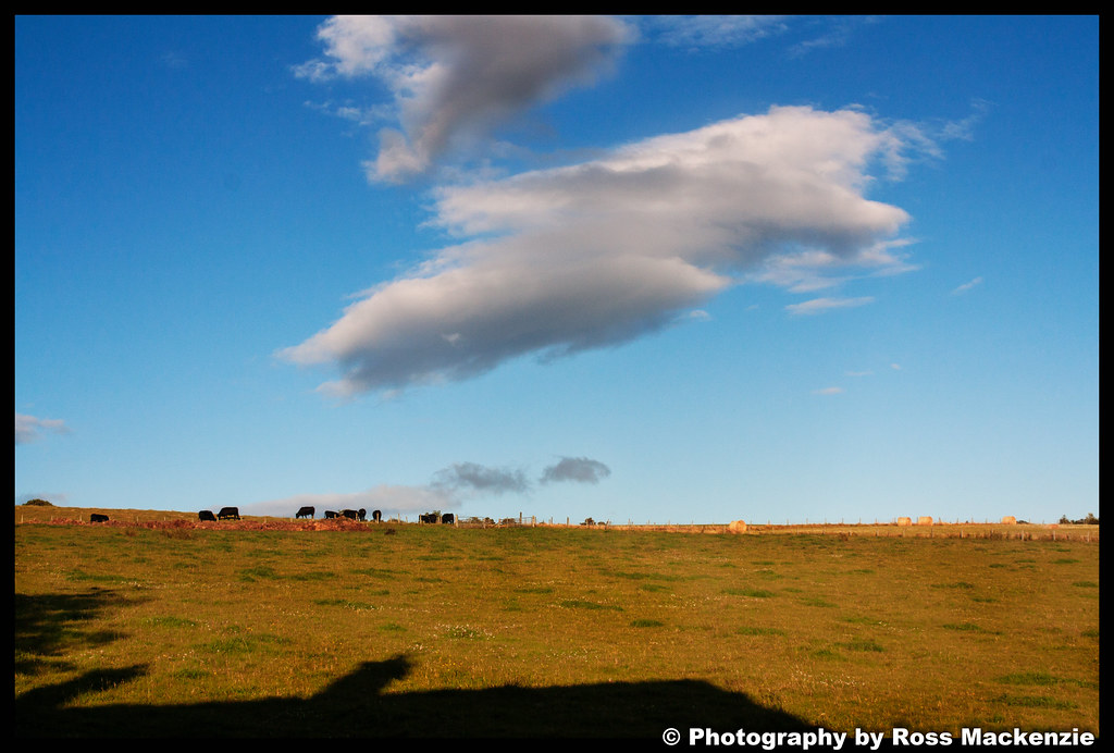
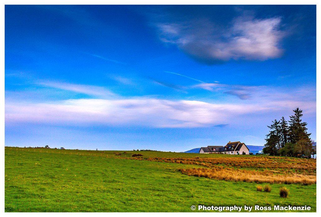
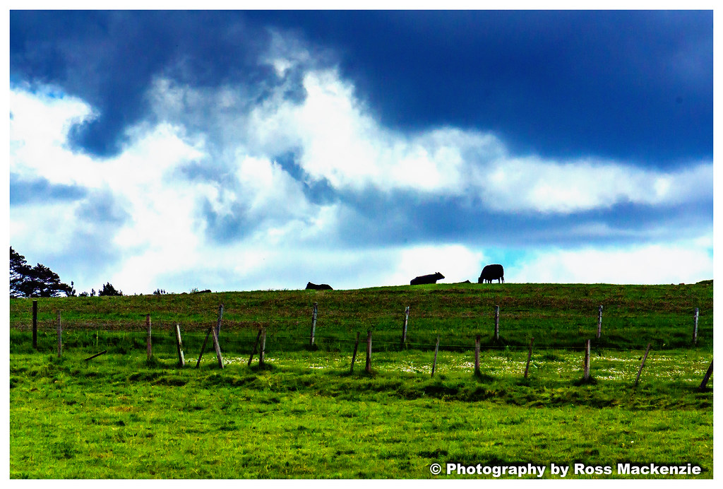
Cows in the field

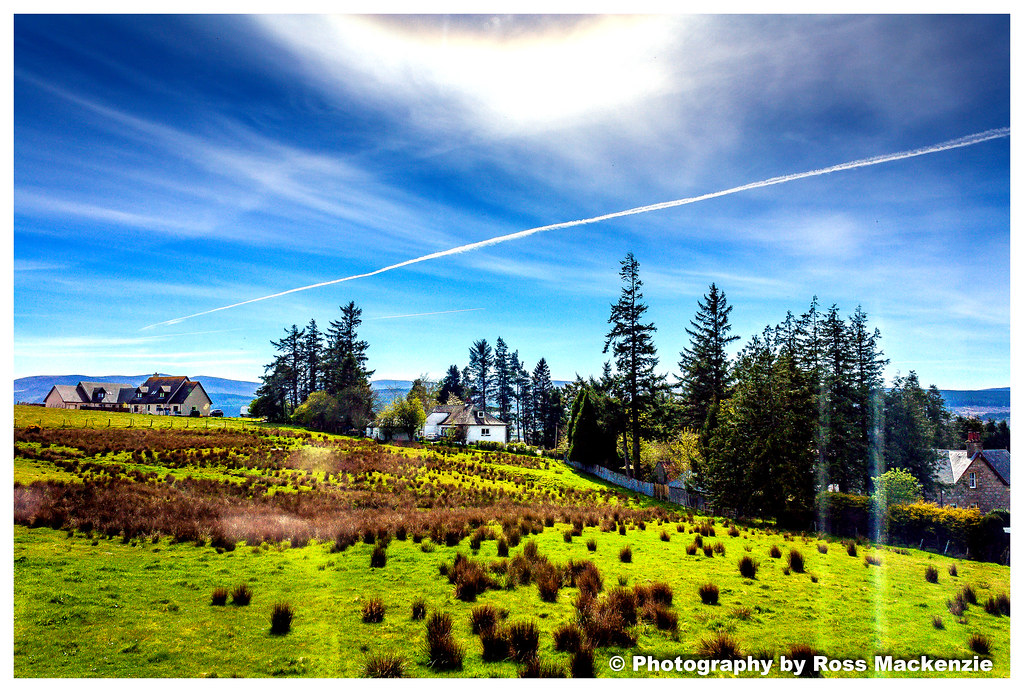
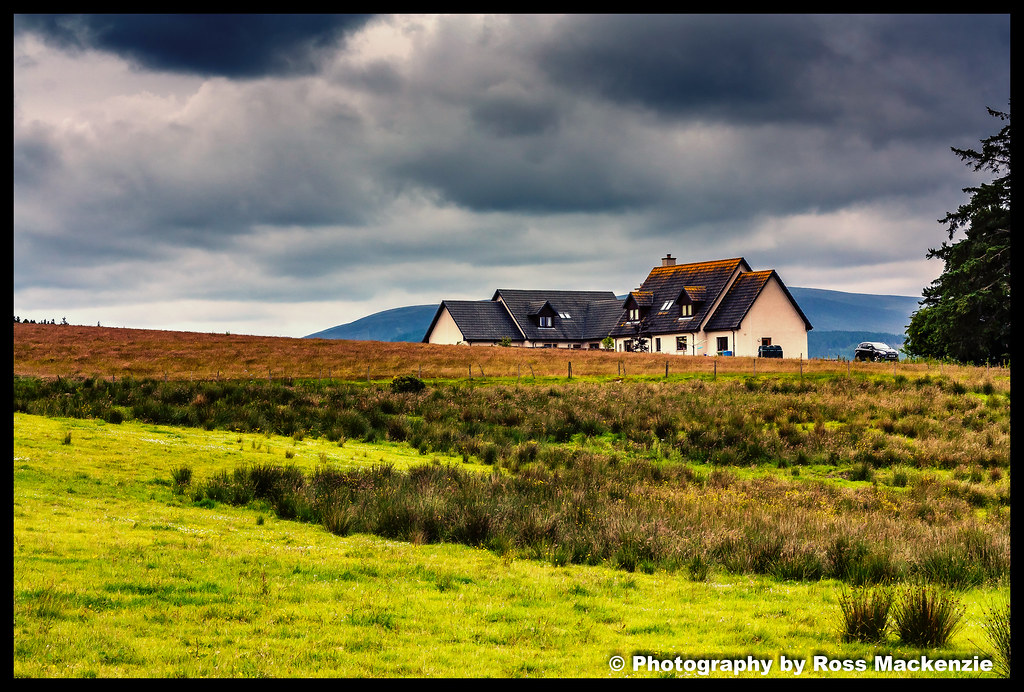
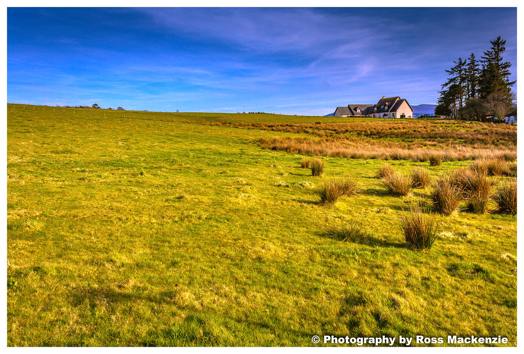
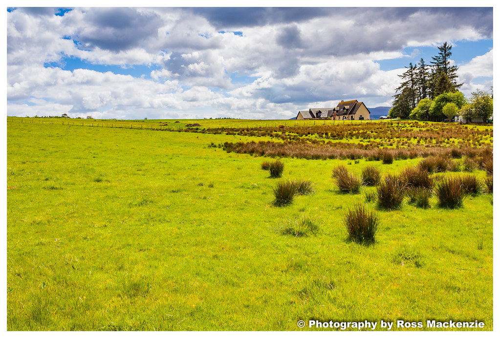
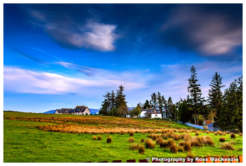
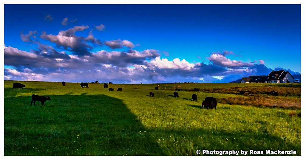
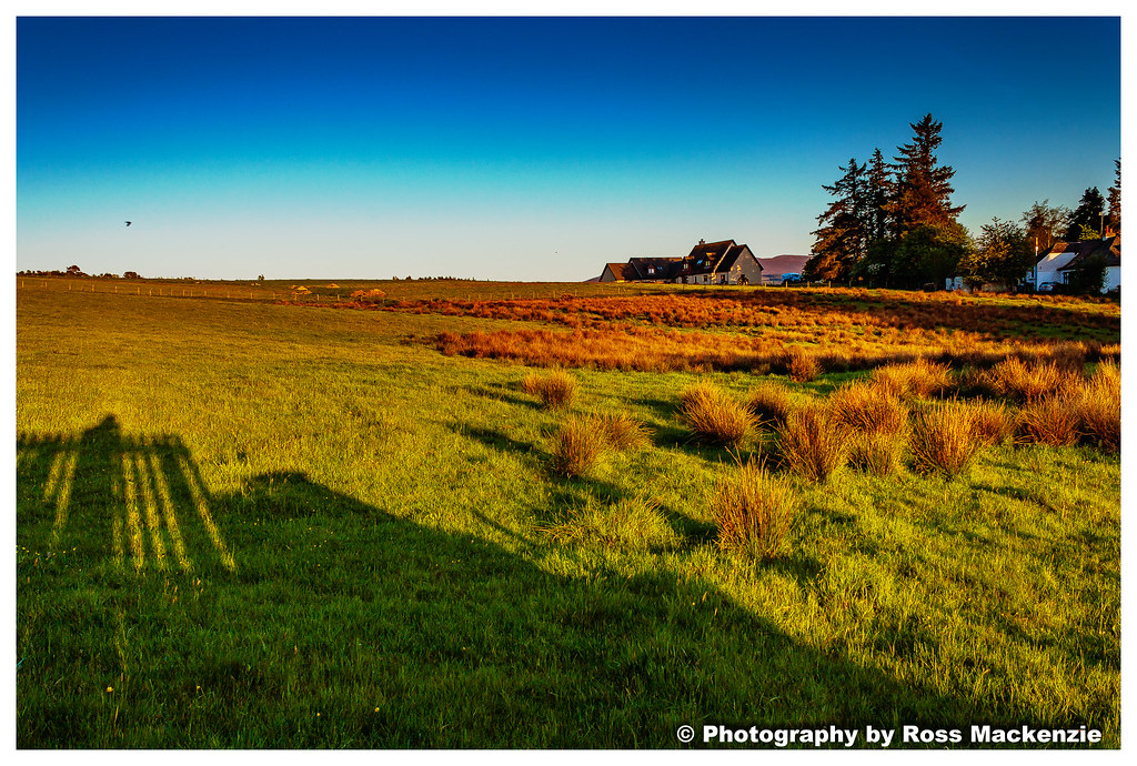
The view
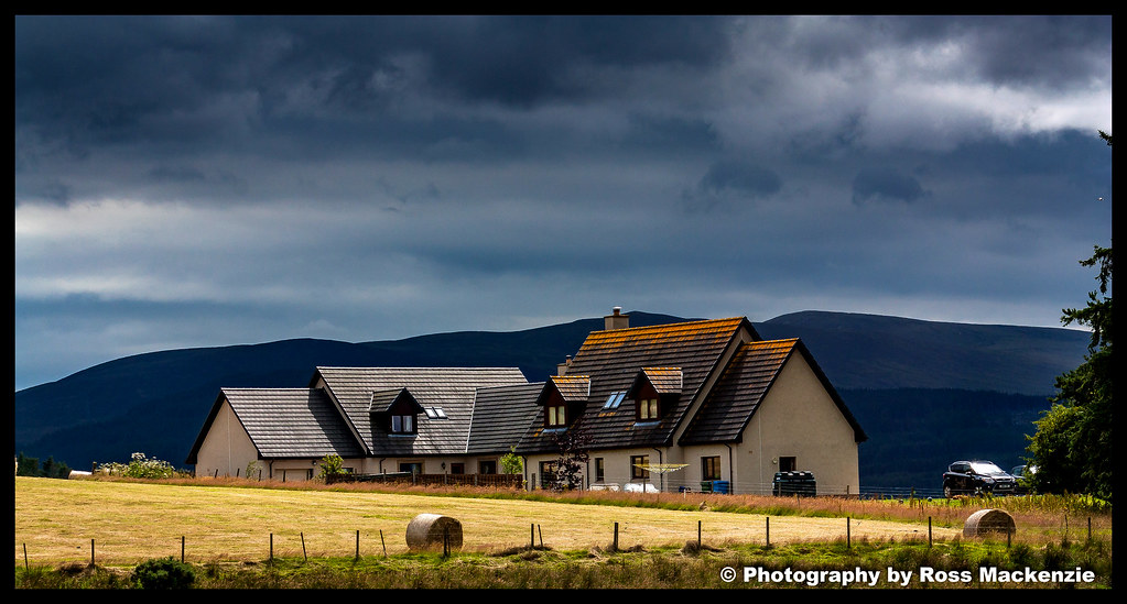
The view
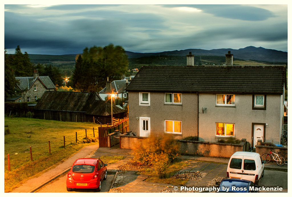
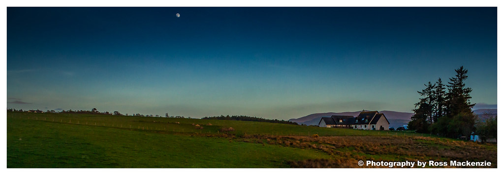
Night time view
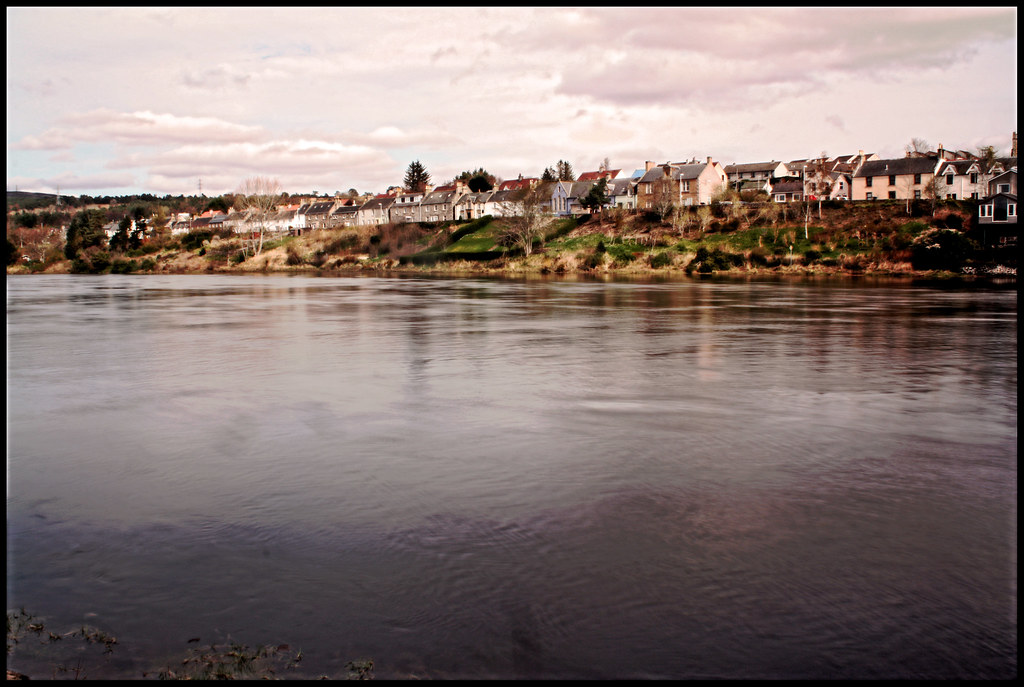
Bonar Bridge
The view
Bonar Bridge(moving water)
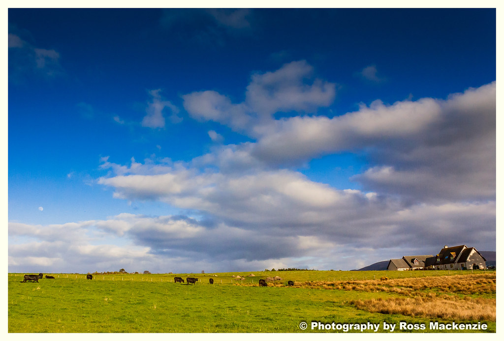
Cows in the field
Bonar Bridge
Bonar Bridge
Bonar Bridge
BONAR BRIDGE
BONAR BRIDGE

Bonar Bridge
The view
BONAR BRIDGE
BONAR BRIDGE
Bonar bridge
BONAR BRIDGE

Built to last
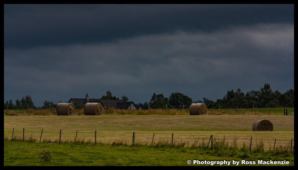
The view
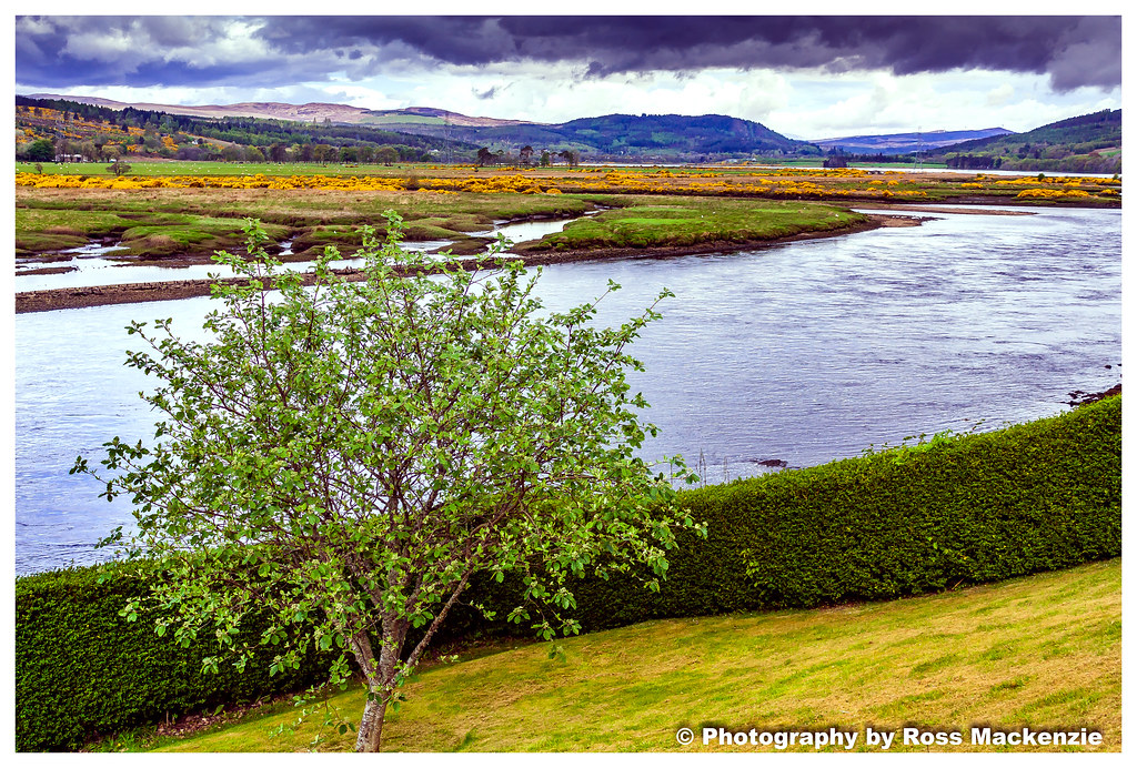
Northern Highlands
BONAR BRIDGE
BONAR BRIDGE
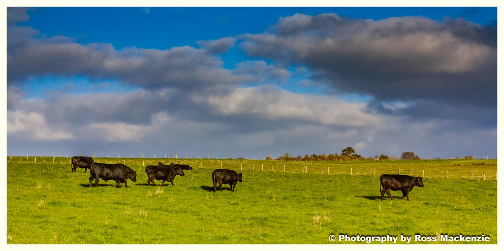
Cows in the field
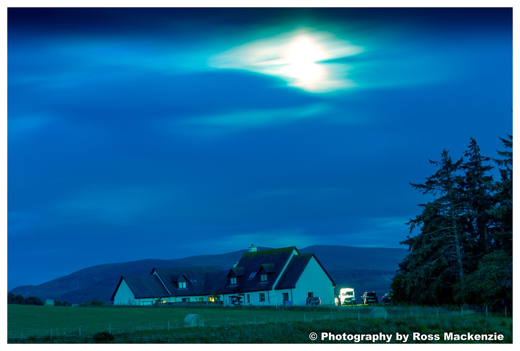
bonar bridge at night

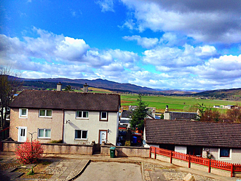
Lairg, Sutherland
Cows in the field

The falls of shin Scotland
Bonar Bridge
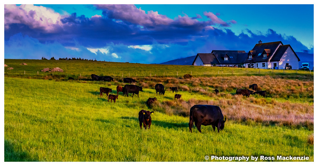
Cows in the field
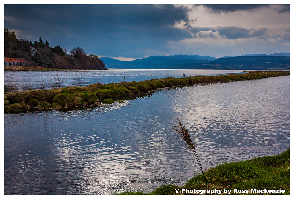
Bonar Bridge
Bonar Bridge
Topographic Map of Lairg IV27 4EH, UK
Find elevation by address:

Places near Lairg IV27 4EH, UK:
Lairg
A836
A836
Invershin
The Crask Inn
Mid Fearn
2 The Steet Easter Fearn Ardgay, Ardgay IV24 3DL, UK
Easter Fearn
Altnaharra
2 Dublin Cottages, Ardross, Alness IV17 0YG, UK
Ardross Castle Enterprises
Ardross
Alladale River
Fyrish Monument.
8 The Orchard
Iv17 0we
Alness
Averon Road
Syre
Dalmore
Recent Searches:
- Elevation of W Granada St, Tampa, FL, USA
- Elevation of Pykes Down, Ivybridge PL21 0BY, UK
- Elevation of Jalan Senandin, Lutong, Miri, Sarawak, Malaysia
- Elevation of Bilohirs'k
- Elevation of 30 Oak Lawn Dr, Barkhamsted, CT, USA
- Elevation of Luther Road, Luther Rd, Auburn, CA, USA
- Elevation of Unnamed Road, Respublika Severnaya Osetiya — Alaniya, Russia
- Elevation of Verkhny Fiagdon, North Ossetia–Alania Republic, Russia
- Elevation of F. Viola Hiway, San Rafael, Bulacan, Philippines
- Elevation of Herbage Dr, Gulfport, MS, USA