Elevation of Laguna Verde, Bolivia
Location: Bolivia > Potosi Department > Sur Lípez >
Longitude: -67.836113
Latitude: -22.795339
Elevation: 4792m / 15722feet
Barometric Pressure: 56KPa
Elevation Map:
Satellite Map:
Related Photos:
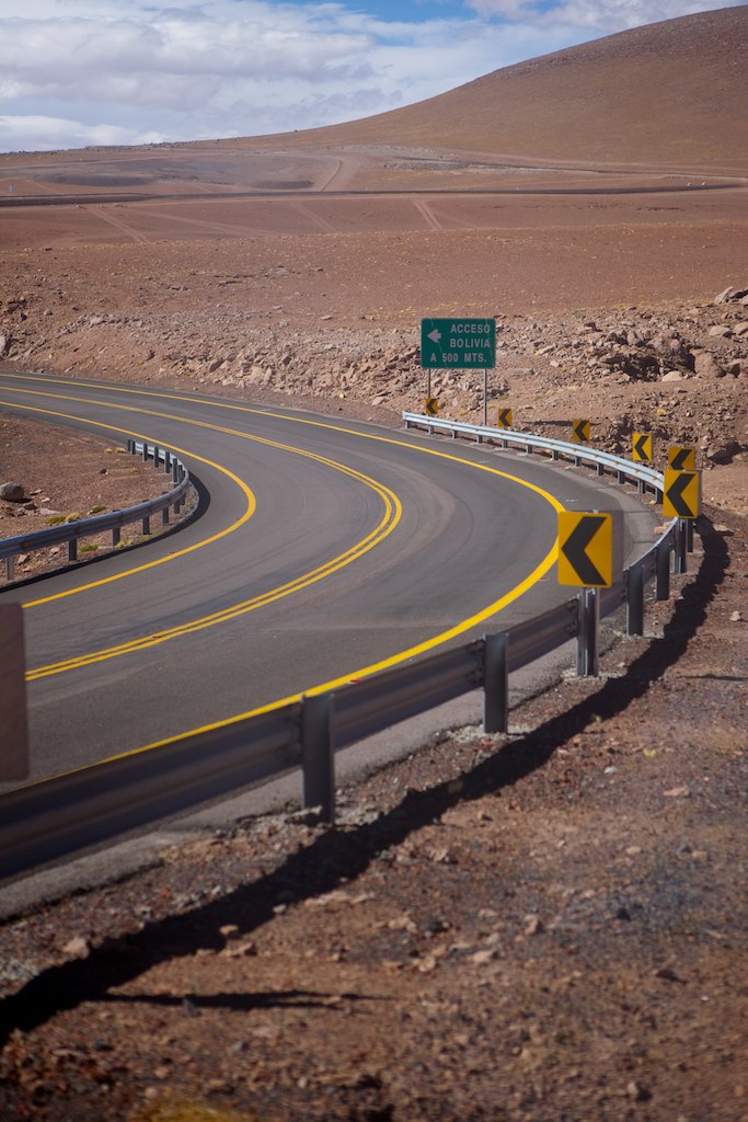
Acceso Bolivia

View from Laguna Verde - Bolivia
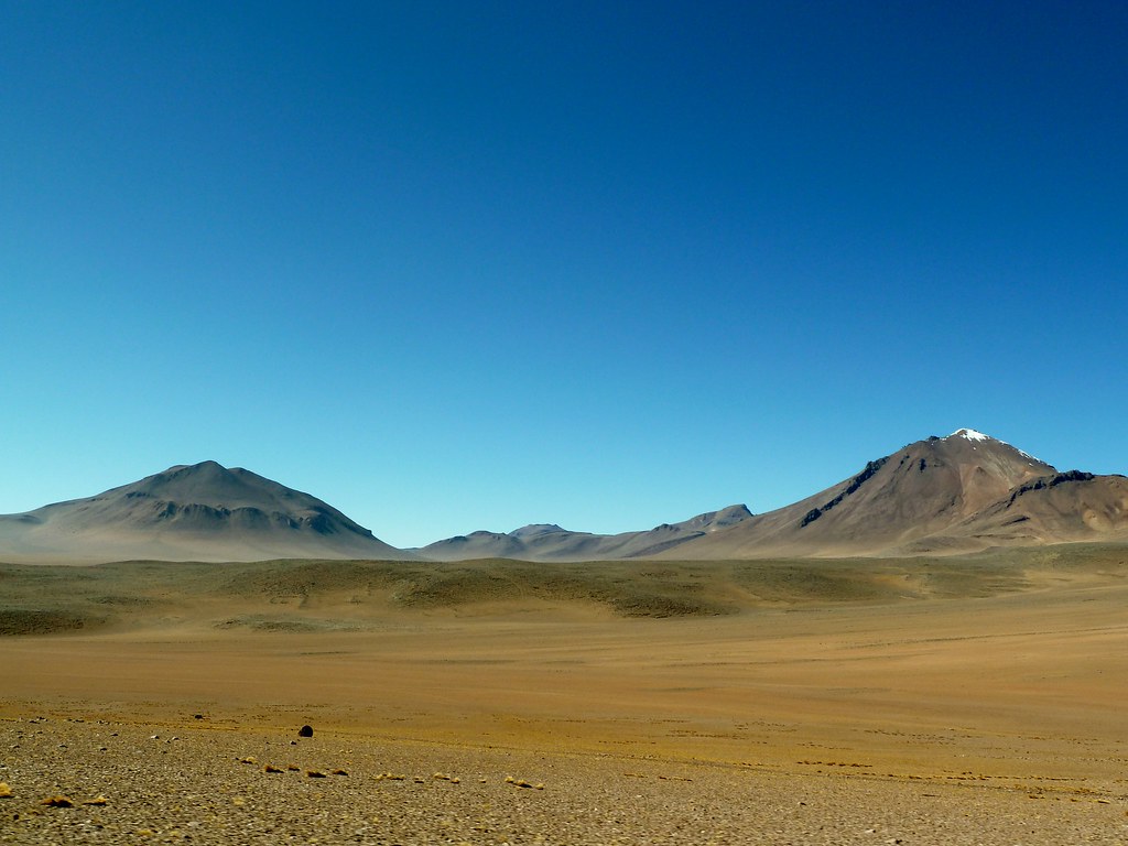
View over the mountains, South western Bolivia (3)
Topographic Map of Laguna Verde, Bolivia
Find elevation by address:

Places near Laguna Verde, Bolivia:
Licancabur
Portezuelo Del Cajón
Sairecabur
Curiquinca
Termas De Puritama
Putana Volcano
Salvador Dalí Desert
Unnamed Road
Machuca
B-245
Machuca
Termas De Polques
Piedras Rojas Hostal
Puro Perú La Picada Pilco
Tebenquiche
San Pedro De Atacama
San Pedro De Atacama
San Pedro De Atacama
Incanorth
Toconao
Recent Searches:
- Elevation of Corso Fratelli Cairoli, 35, Macerata MC, Italy
- Elevation of Tallevast Rd, Sarasota, FL, USA
- Elevation of 4th St E, Sonoma, CA, USA
- Elevation of Black Hollow Rd, Pennsdale, PA, USA
- Elevation of Oakland Ave, Williamsport, PA, USA
- Elevation of Pedrógão Grande, Portugal
- Elevation of Klee Dr, Martinsburg, WV, USA
- Elevation of Via Roma, Pieranica CR, Italy
- Elevation of Tavkvetili Mountain, Georgia
- Elevation of Hartfords Bluff Cir, Mt Pleasant, SC, USA