Elevation of Laguna Hedionda, San Pedro de Atacama, Región de Antofagasta, Chile
Location: Chile > Antofagasta Region > El Loa > San Pedro De Atacama >
Longitude: -67.1
Latitude: -23.216666
Elevation: 4334m / 14219feet
Barometric Pressure: 59KPa
Elevation Map:
Satellite Map:
Related Photos:
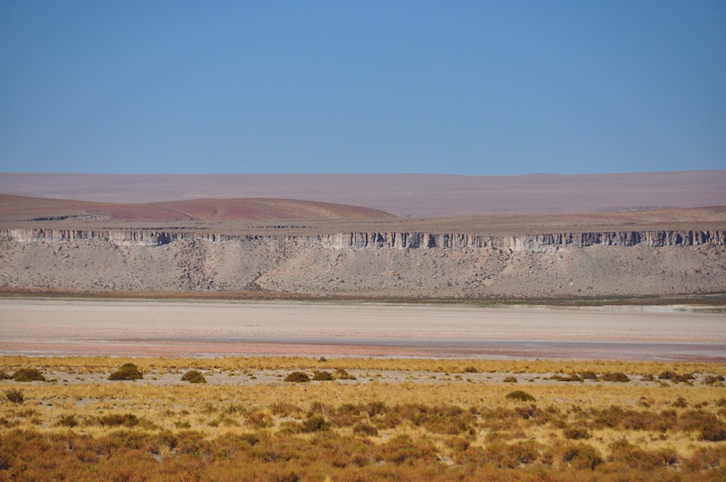
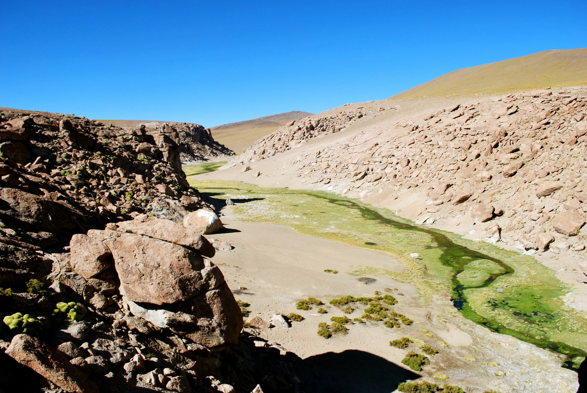
18C_4726.jpg
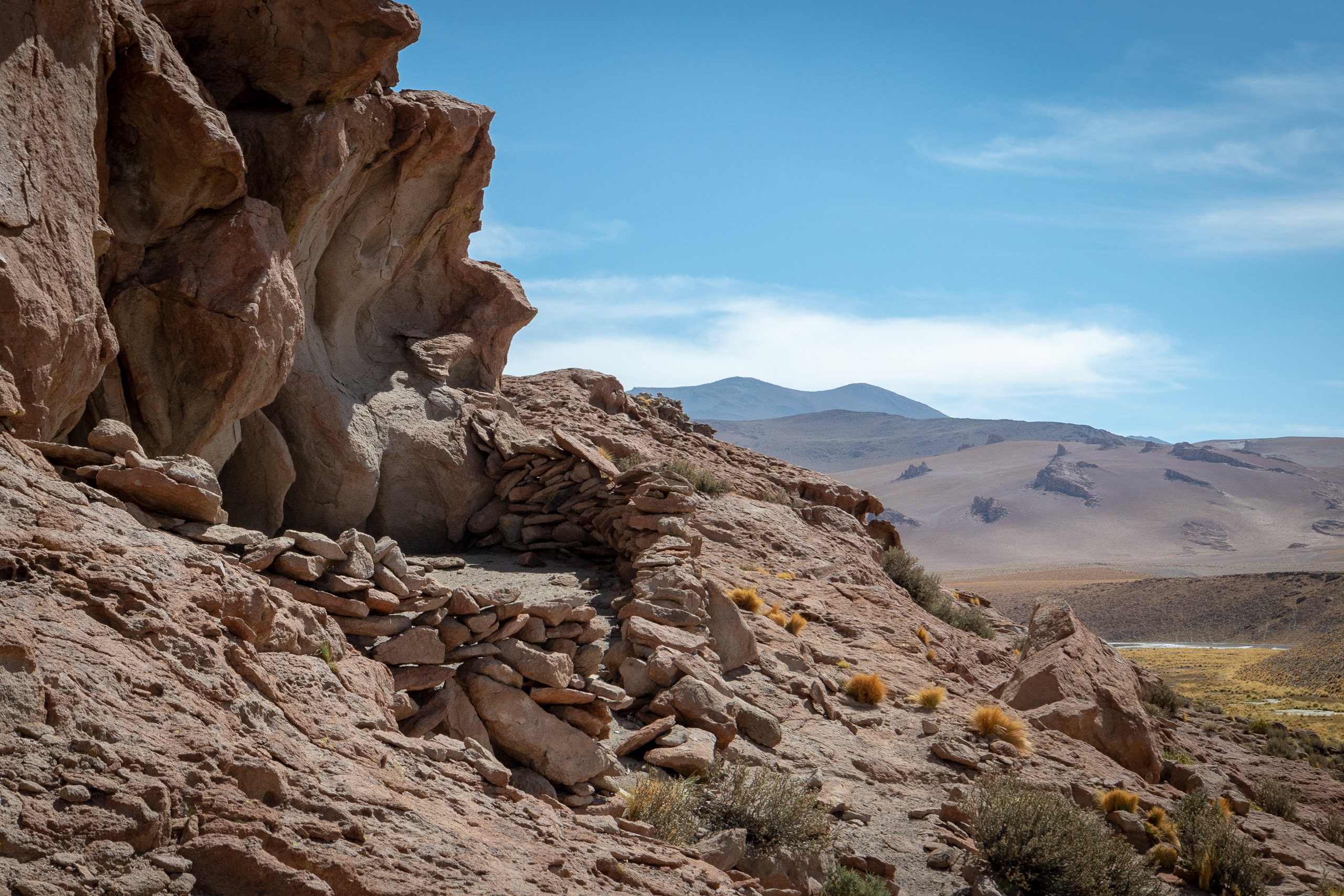
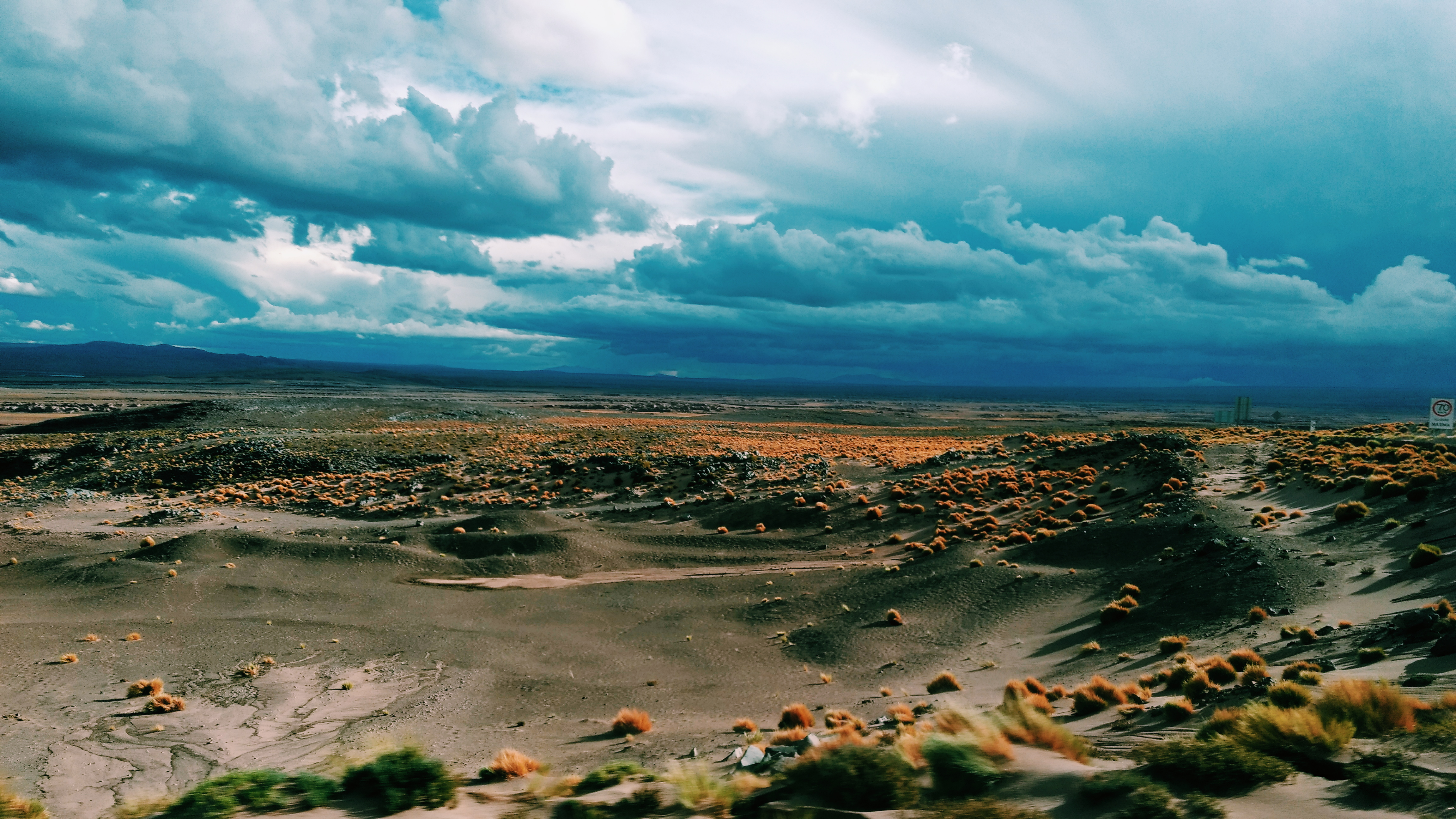
Altiplano (Explored)
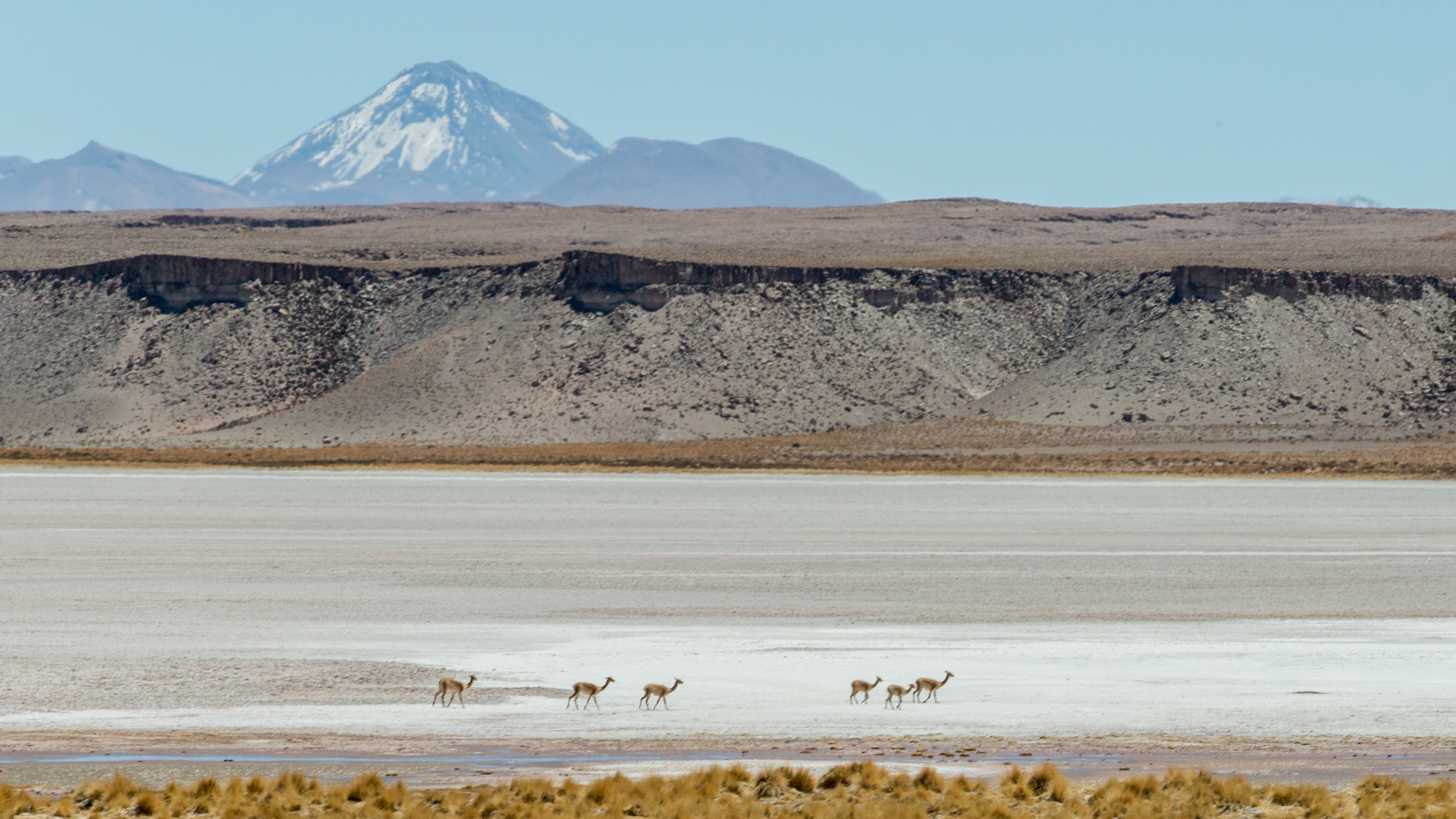
Jama Pass
⛱️♥️

⛱️♥️
Atacama_20101227 090912

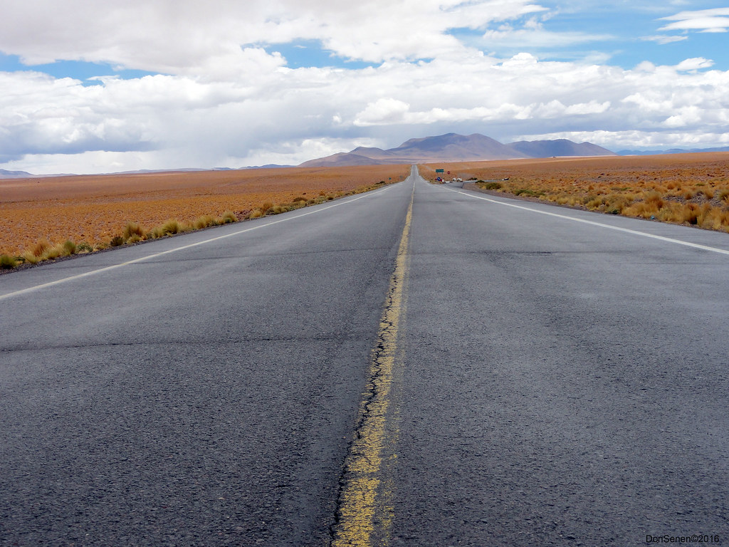
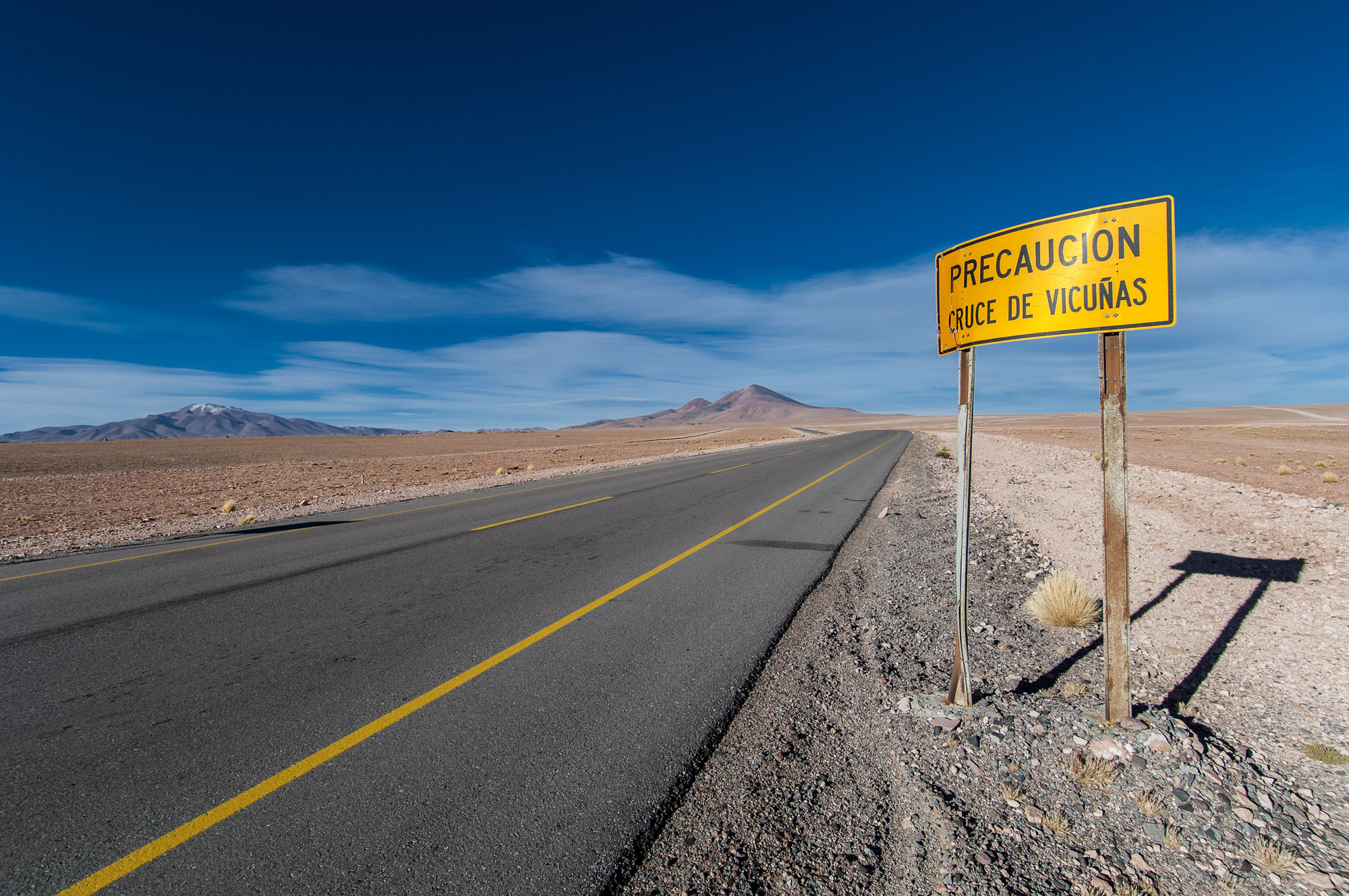
Towards the Jama Pass
⛱️♥️
Argentine-37.jpg
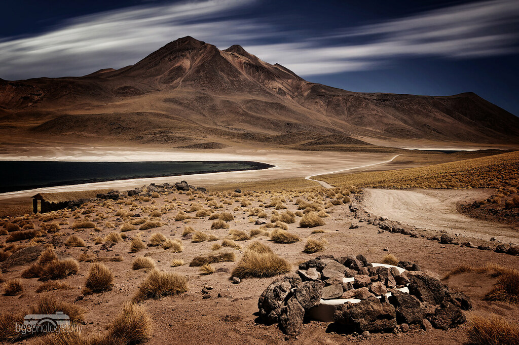
Atacama-6582
geysers del tatio
Atacama_20101227 090941
The Last Town in Argentina
Topographic Map of Laguna Hedionda, San Pedro de Atacama, Región de Antofagasta, Chile
Find elevation by address:

Places near Laguna Hedionda, San Pedro de Atacama, Región de Antofagasta, Chile:
Nevados De Poquis
Salar De Tara
Salar De Tara
Pacana Caldera
Mina Pirquitas
Rinconada Department
La Poma Department
Recent Searches:
- Elevation of Leguwa, Nepal
- Elevation of County Rd, Enterprise, AL, USA
- Elevation of Kolchuginsky District, Vladimir Oblast, Russia
- Elevation of Shustino, Vladimir Oblast, Russia
- Elevation of Lampiasi St, Sarasota, FL, USA
- Elevation of Elwyn Dr, Roanoke Rapids, NC, USA
- Elevation of Congressional Dr, Stevensville, MD, USA
- Elevation of Bellview Rd, McLean, VA, USA
- Elevation of Stage Island Rd, Chatham, MA, USA
- Elevation of Shibuya Scramble Crossing, 21 Udagawacho, Shibuya City, Tokyo -, Japan