Elevation of Ladylove Mountain, Columbia-Shuswap A, BC V0A, Canada
Location: Canada > British Columbia > Columbia-shuswap > Columbia-shuswap A >
Longitude: -117.38416
Latitude: 51.8847222
Elevation: 2783m / 9131feet
Barometric Pressure: 72KPa
Elevation Map:
Satellite Map:
Related Photos:
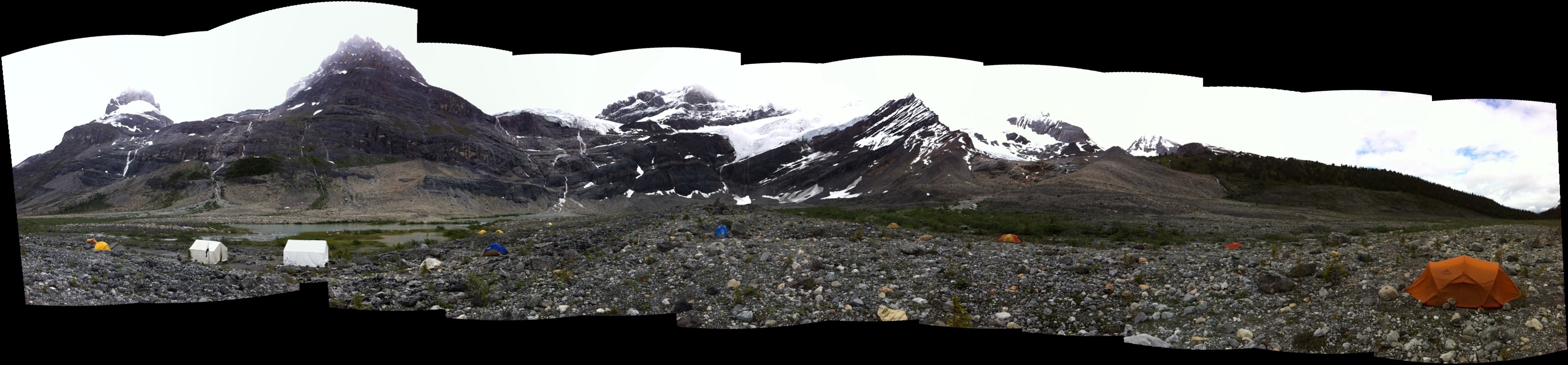
Panorama of Mt. Alexandra Base Camp
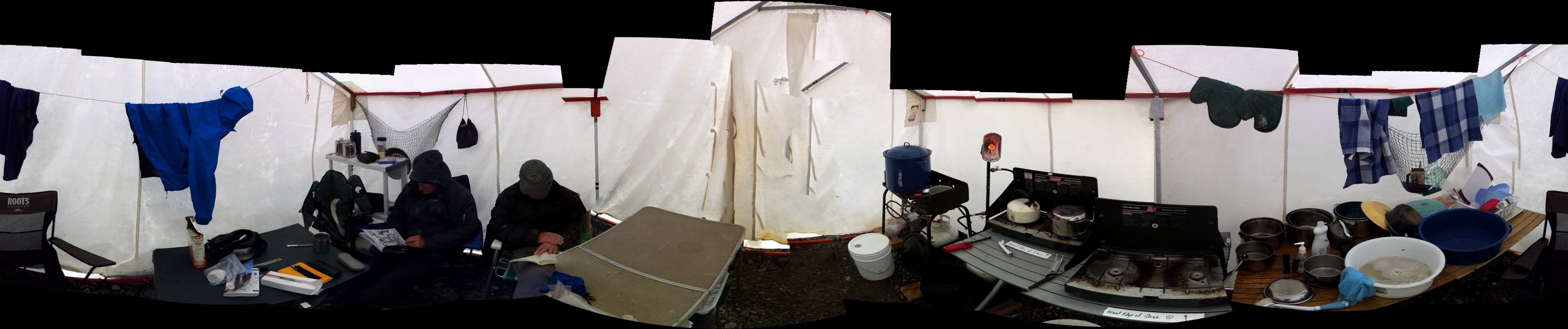
Inside the Cook Tent
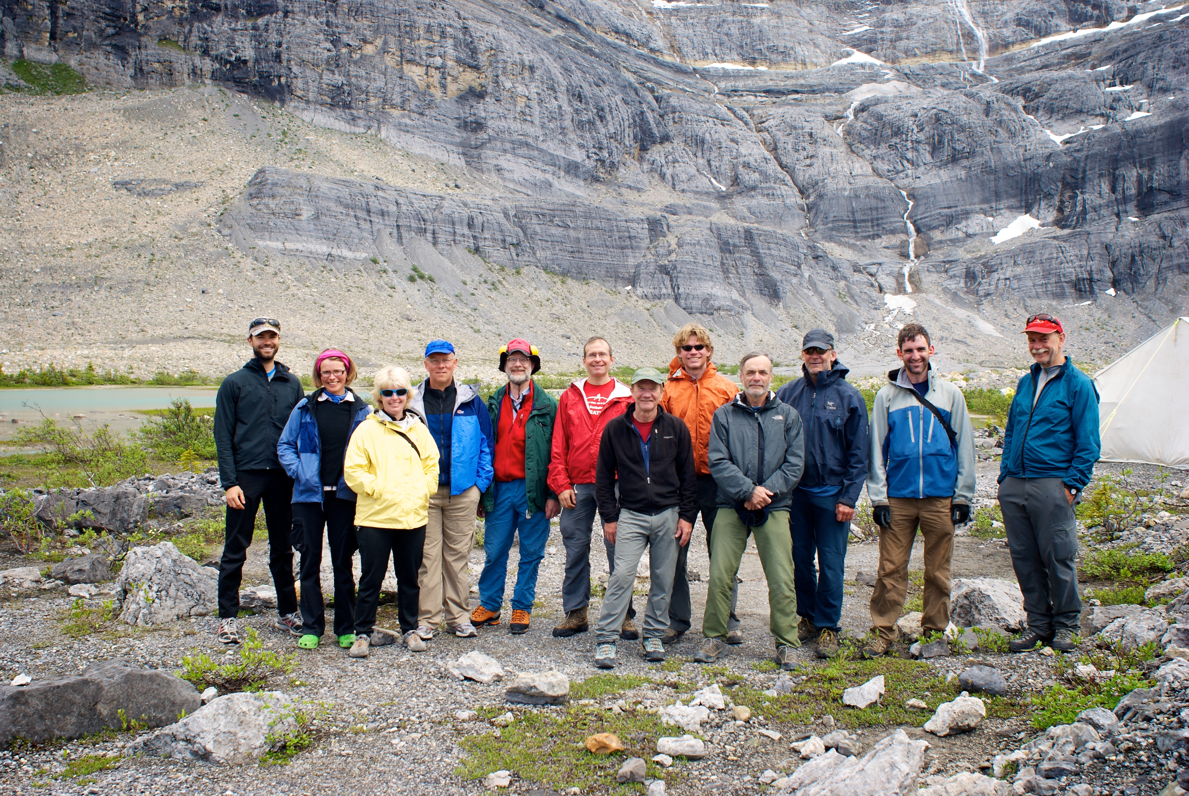
Section Camp Group Photo
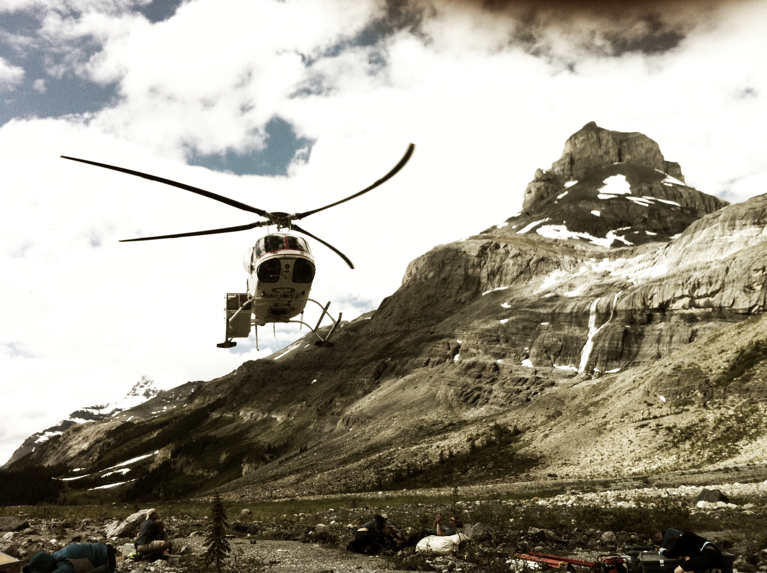
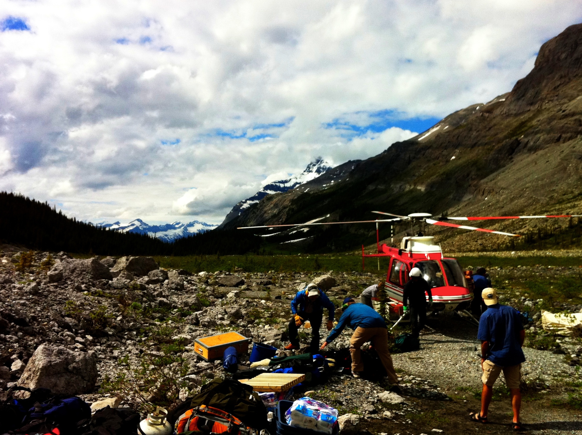
Alpine Helicopters and Mt. Coral
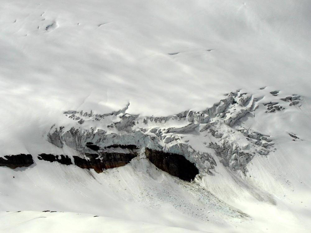
BH903 Windswept Snow
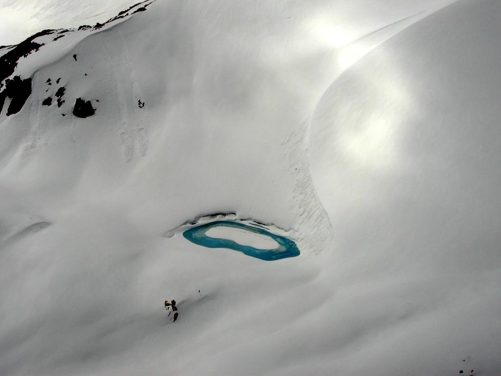
BH902 Meltwater
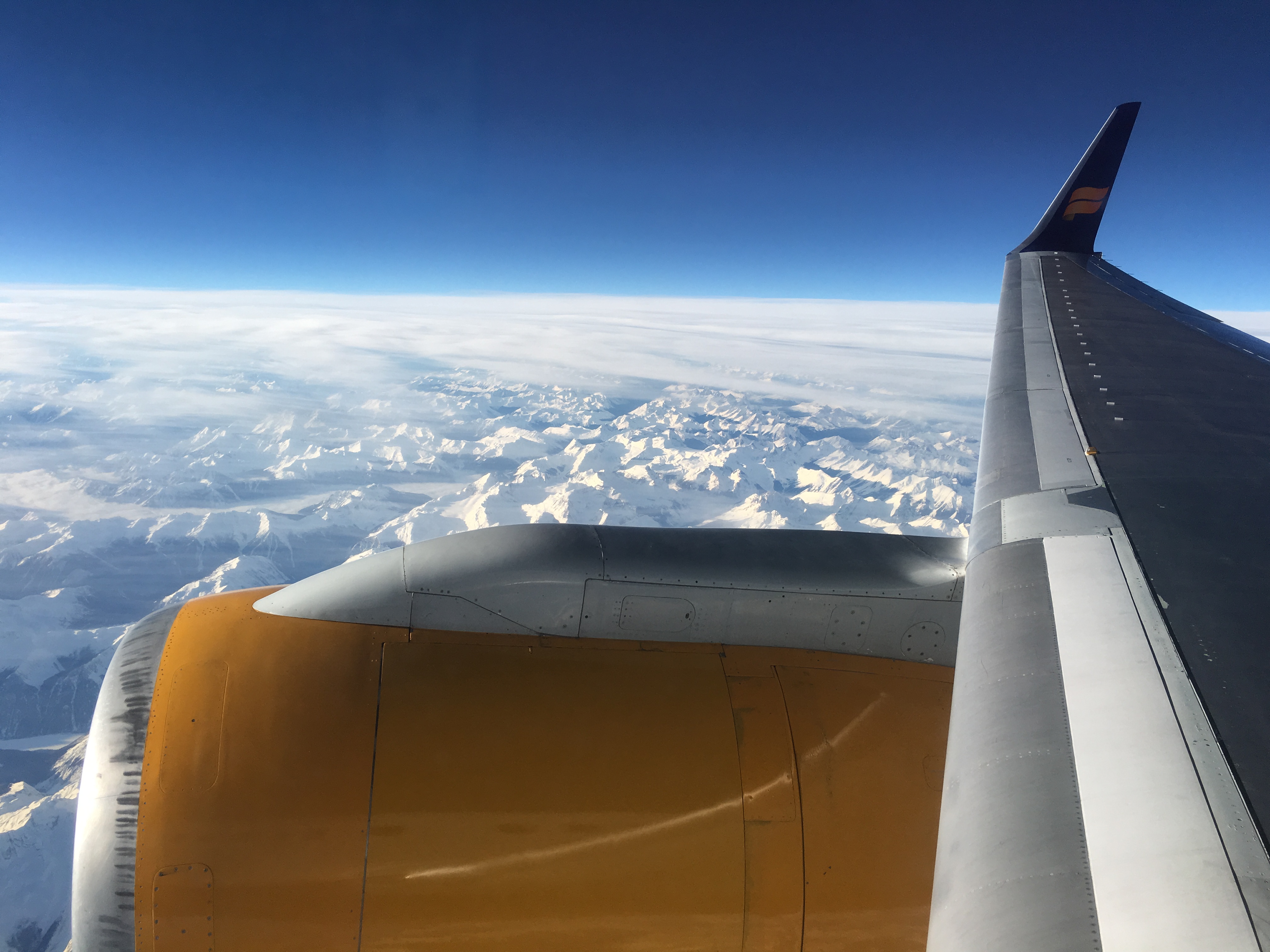
Westward over Greenland
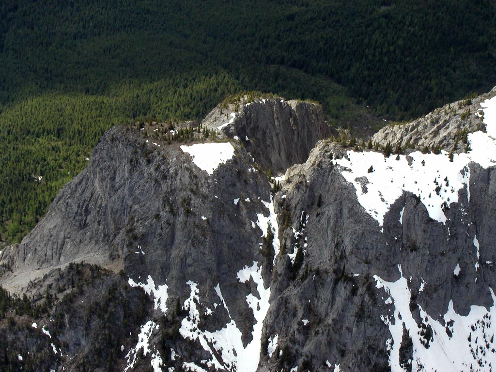
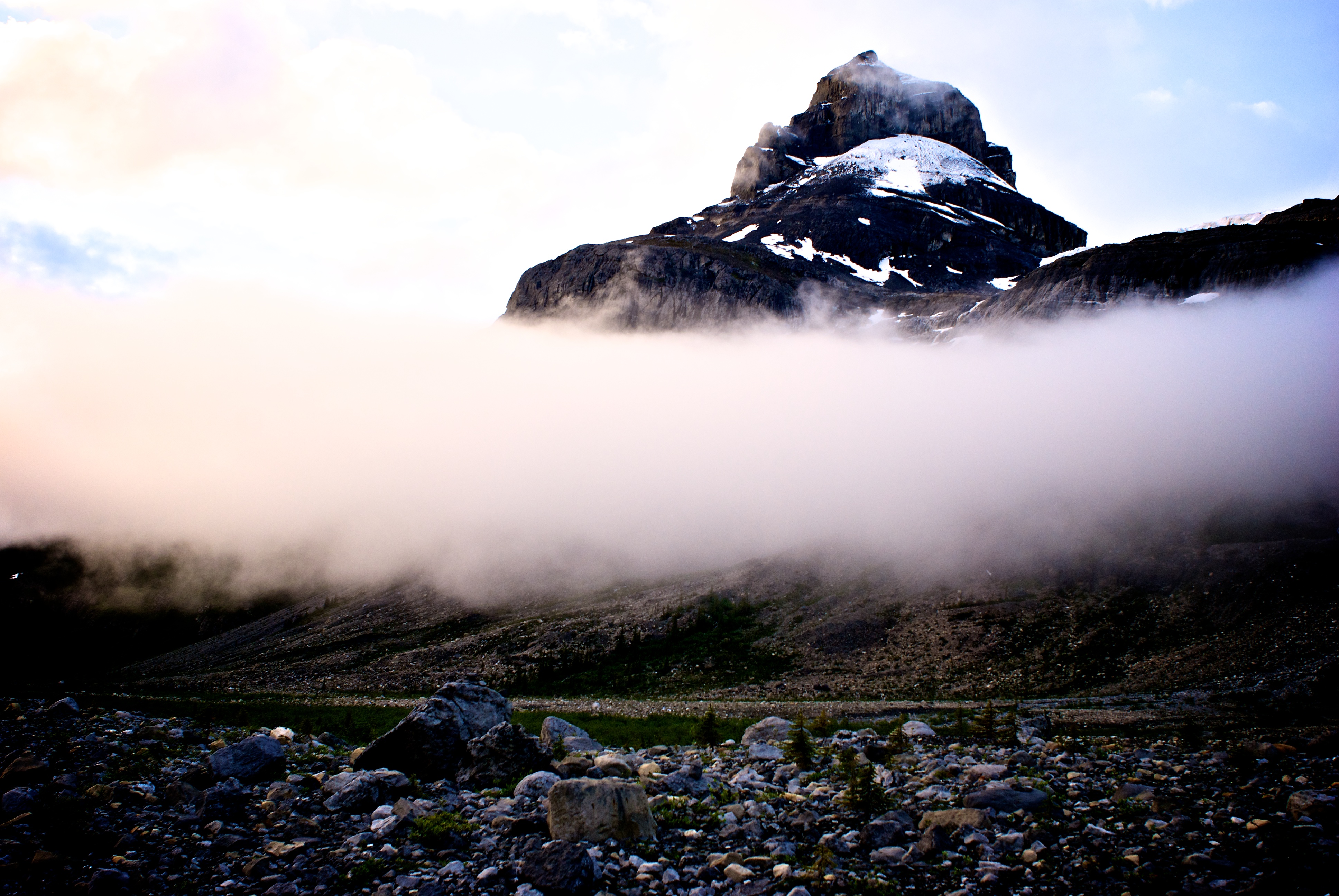
BH909 Bare Peak
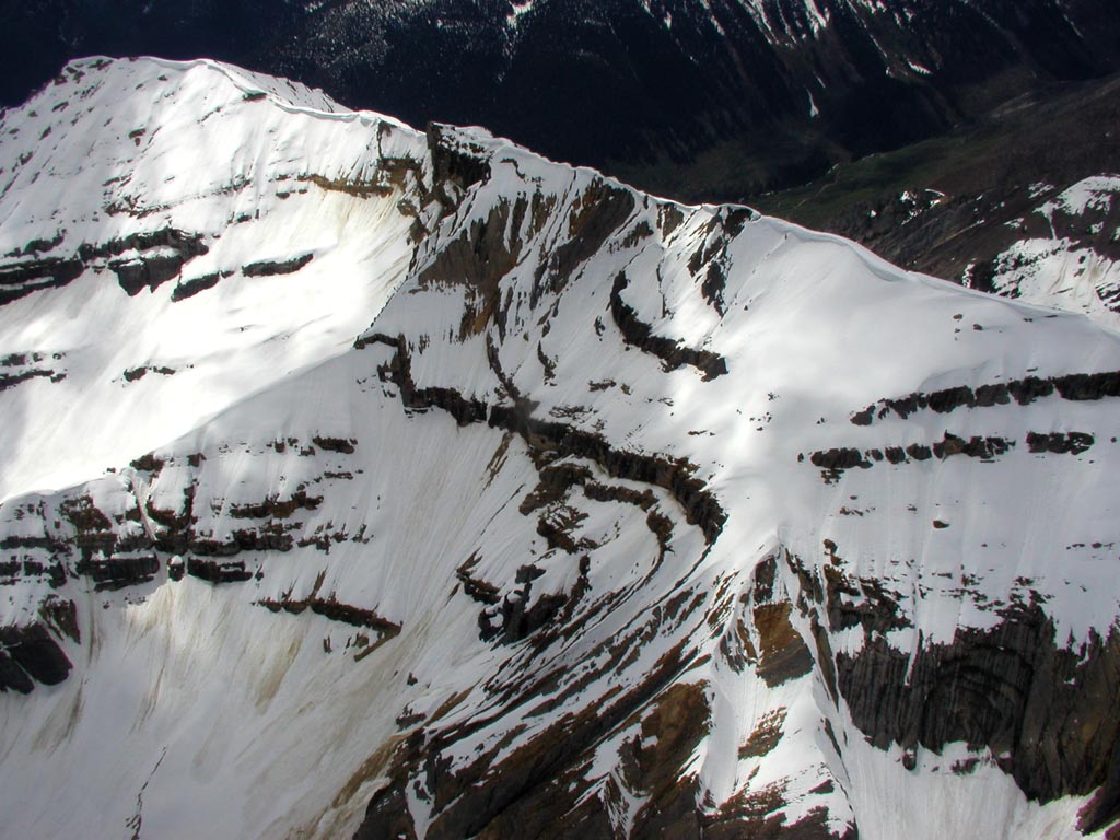
BH906 Sculpted Ridge
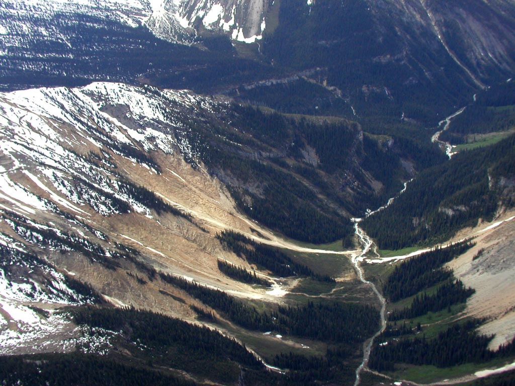
BH900 Gladed Valley
Topographic Map of Ladylove Mountain, Columbia-Shuswap A, BC V0A, Canada
Find elevation by address:

Places near Ladylove Mountain, Columbia-Shuswap A, BC V0A, Canada:
Ladylove Nw3
Basil S3
Cockscomb Mountain
Ego Mountain
Basil S1
Basil Peak
Pawn Peak
Whiterose Mountain
Peak Spring-rice S2
Mount Spring-rice
Kemmel Mountain
Fresnoy Mountain
Mount Alexandra
Alexandra N1
La Clytte Mountain
Lens Mountain
Oppy Mountain
Farbus Mountain
Columbia-shuswap A
Walter Peak
Recent Searches:
- Elevation of Corso Fratelli Cairoli, 35, Macerata MC, Italy
- Elevation of Tallevast Rd, Sarasota, FL, USA
- Elevation of 4th St E, Sonoma, CA, USA
- Elevation of Black Hollow Rd, Pennsdale, PA, USA
- Elevation of Oakland Ave, Williamsport, PA, USA
- Elevation of Pedrógão Grande, Portugal
- Elevation of Klee Dr, Martinsburg, WV, USA
- Elevation of Via Roma, Pieranica CR, Italy
- Elevation of Tavkvetili Mountain, Georgia
- Elevation of Hartfords Bluff Cir, Mt Pleasant, SC, USA