Elevation of LA-, Waterproof, LA, USA
Location: United States > Louisiana > Tensas Parish > >
Longitude: -91.568245
Latitude: 31.8002538
Elevation: 20m / 66feet
Barometric Pressure: 101KPa
Elevation Map:
Satellite Map:
Related Photos:
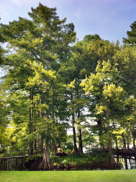
Tensas River-Side View
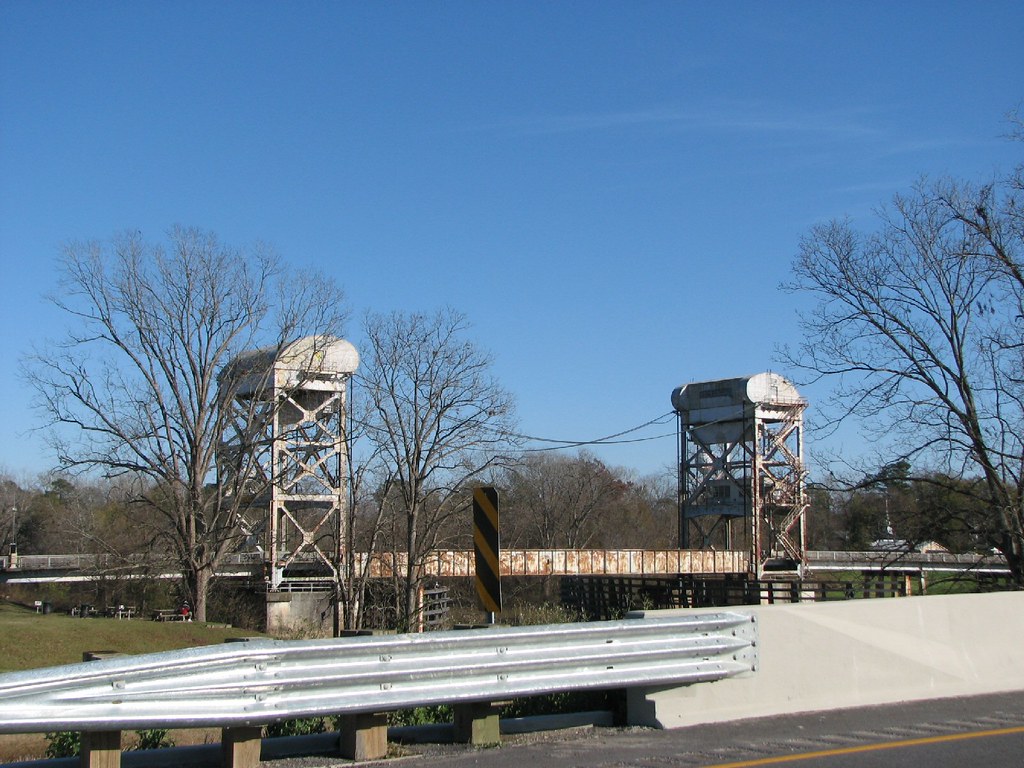
Tensas Bridge-Side View
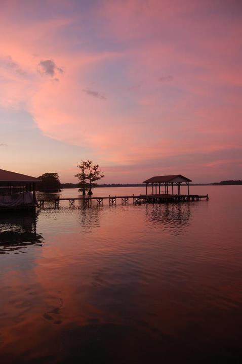
Sunset @ Lake St. John
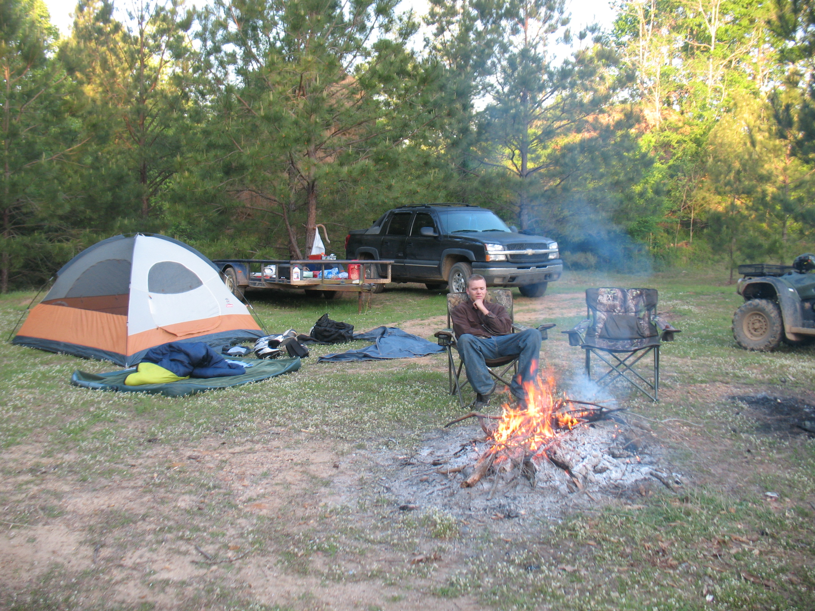
David camping at Sicley Island

David @ Sicley Island - cool

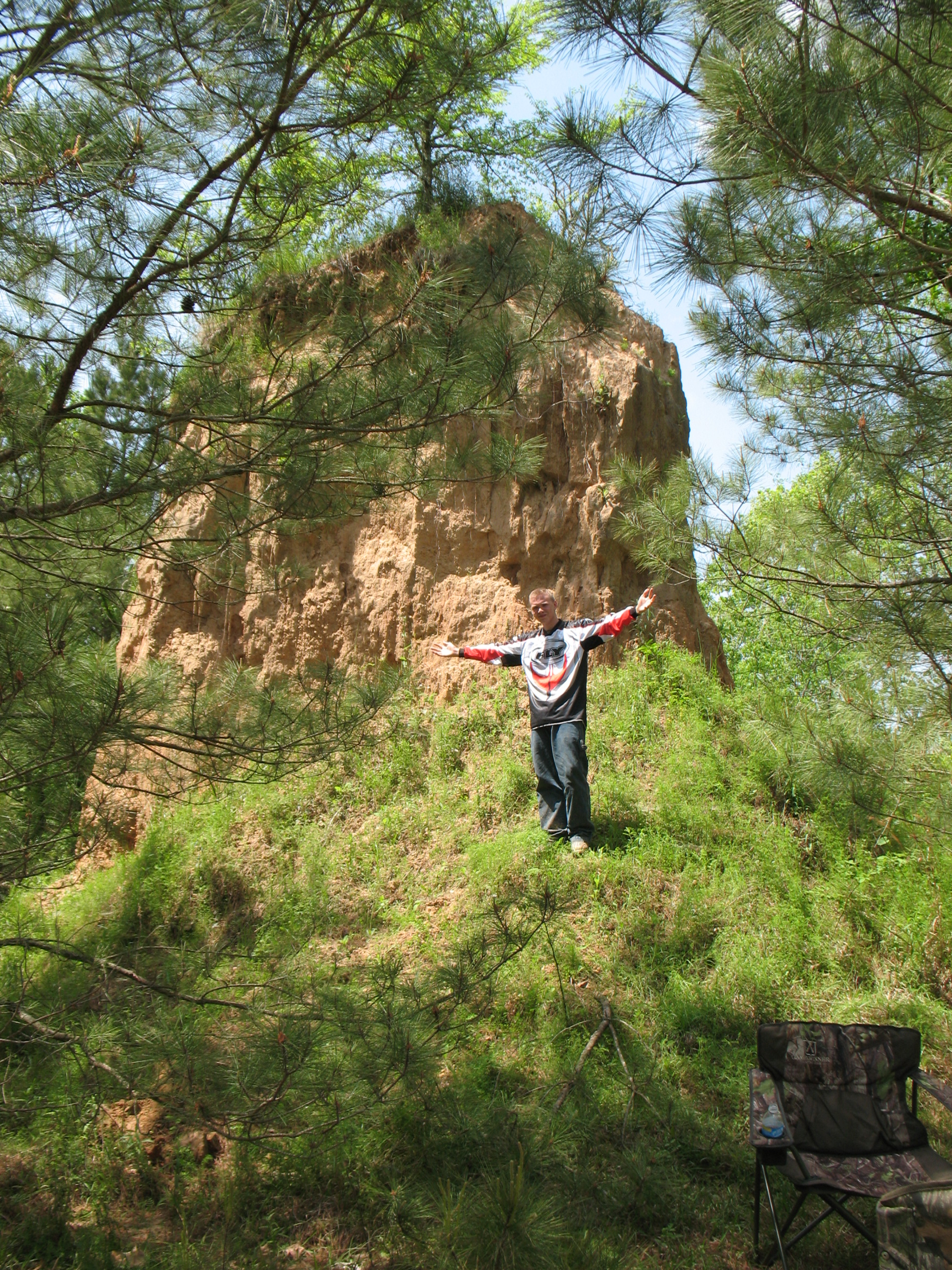
David at the Sand hill Sicley Island
David @ Sicily Island

Scott - Cool morning camping at Sicily Island Louisiana

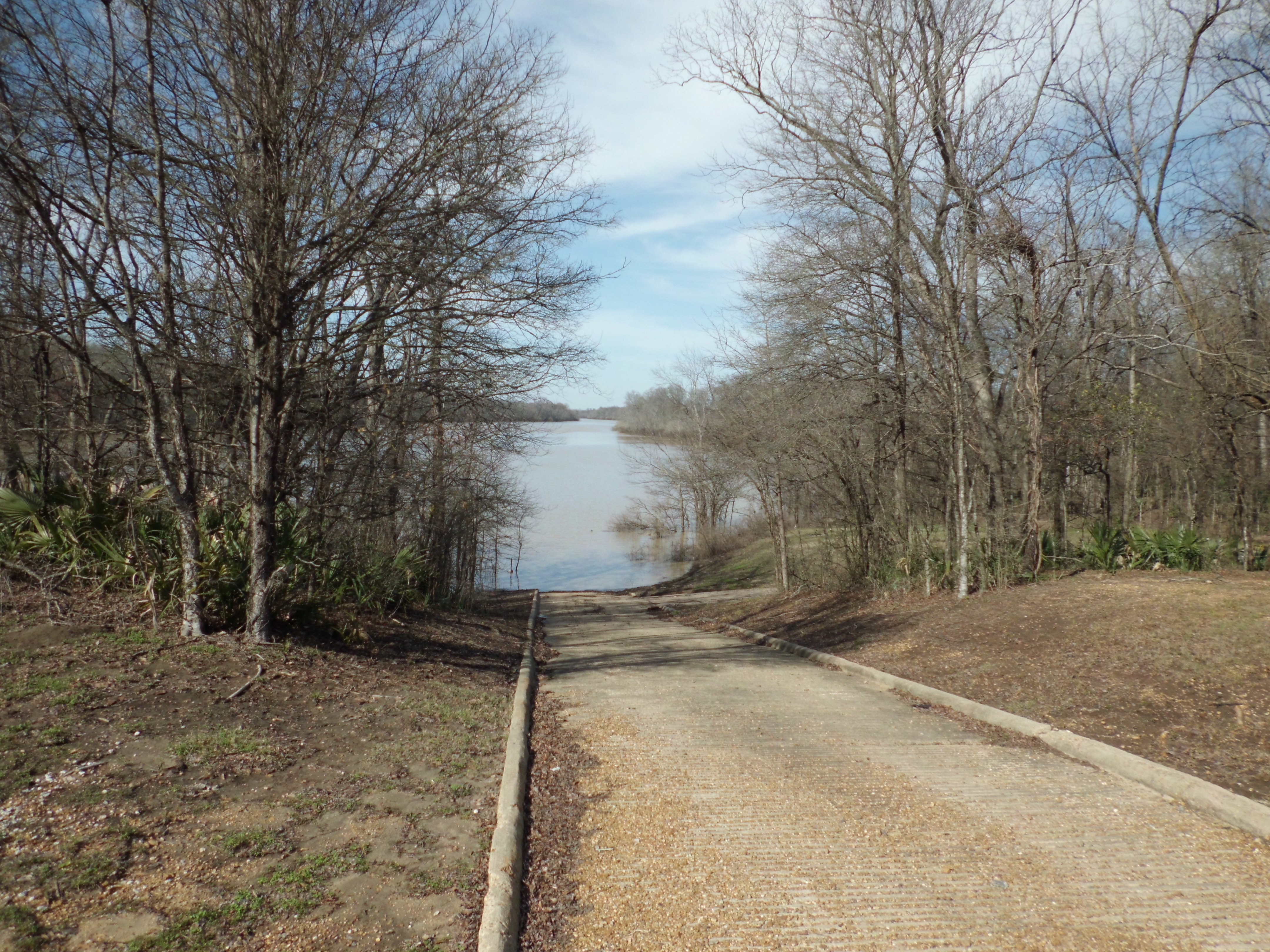
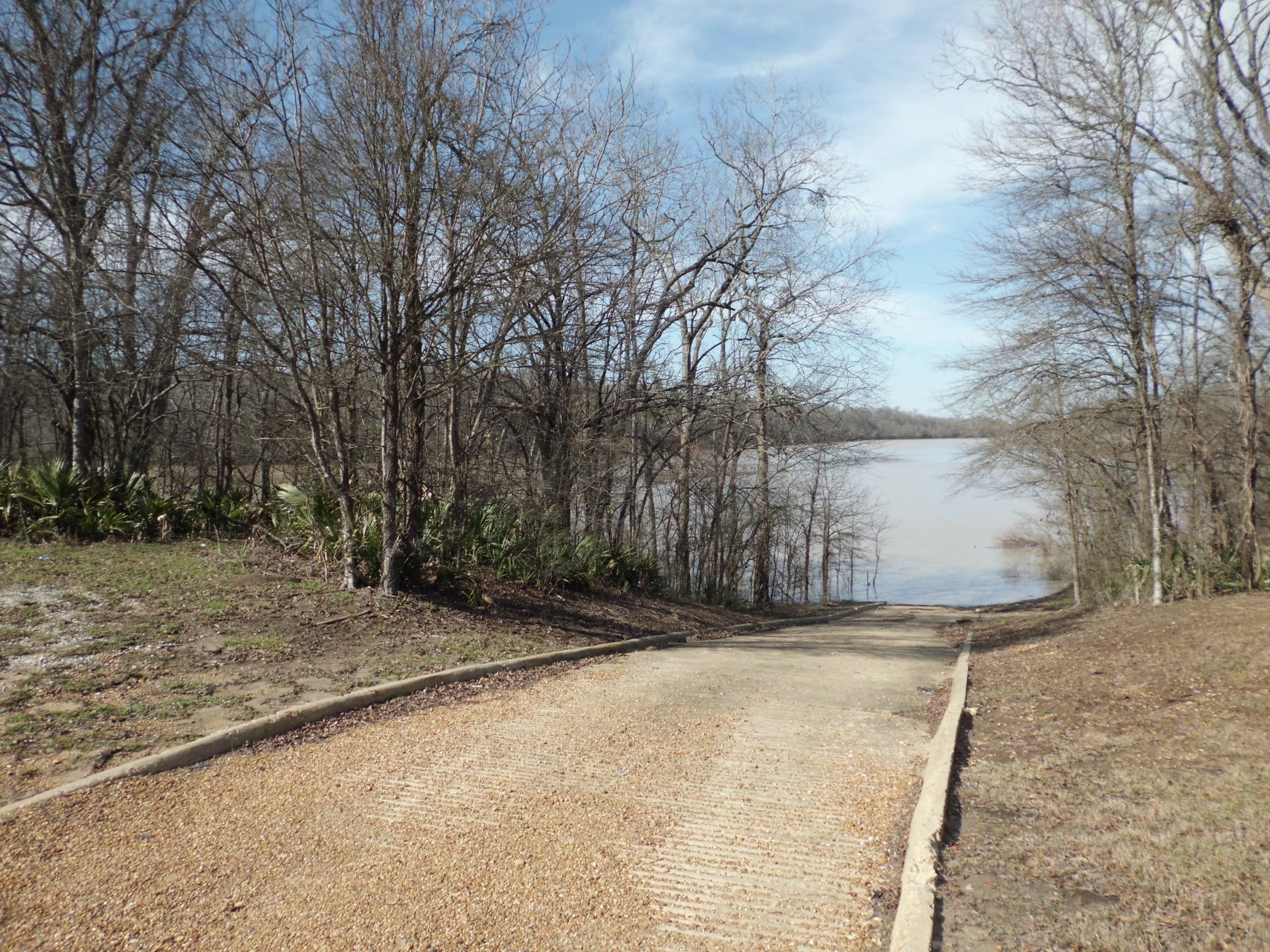
Lake St John
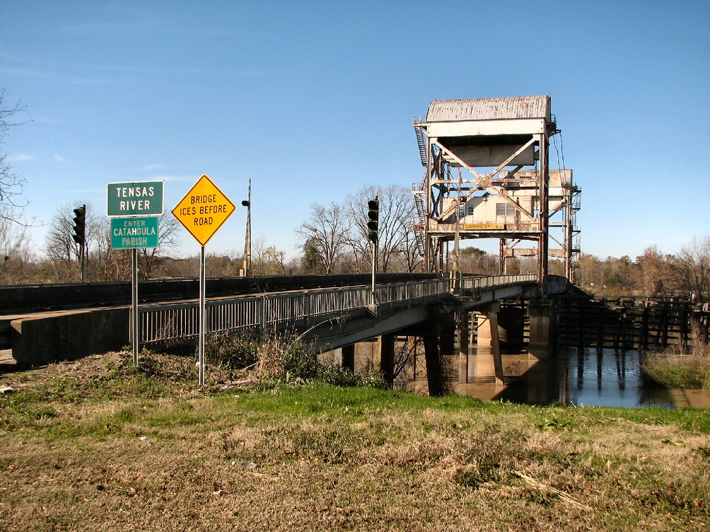
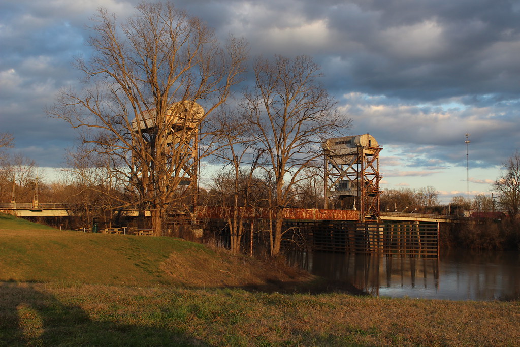
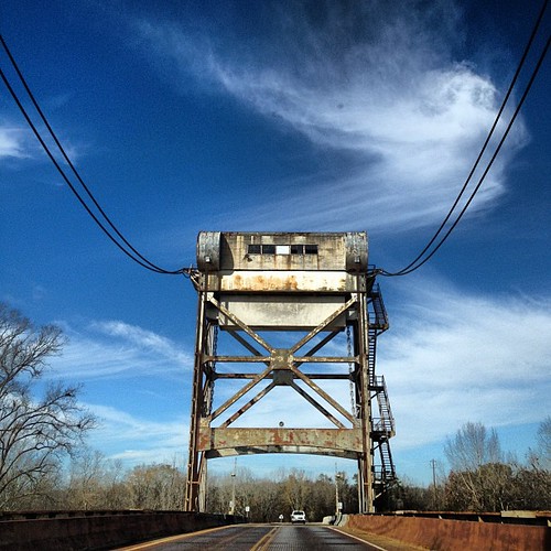
Tensas River Lift Bridge (Catahoula Parish and Concordia Parish, Louisiana)
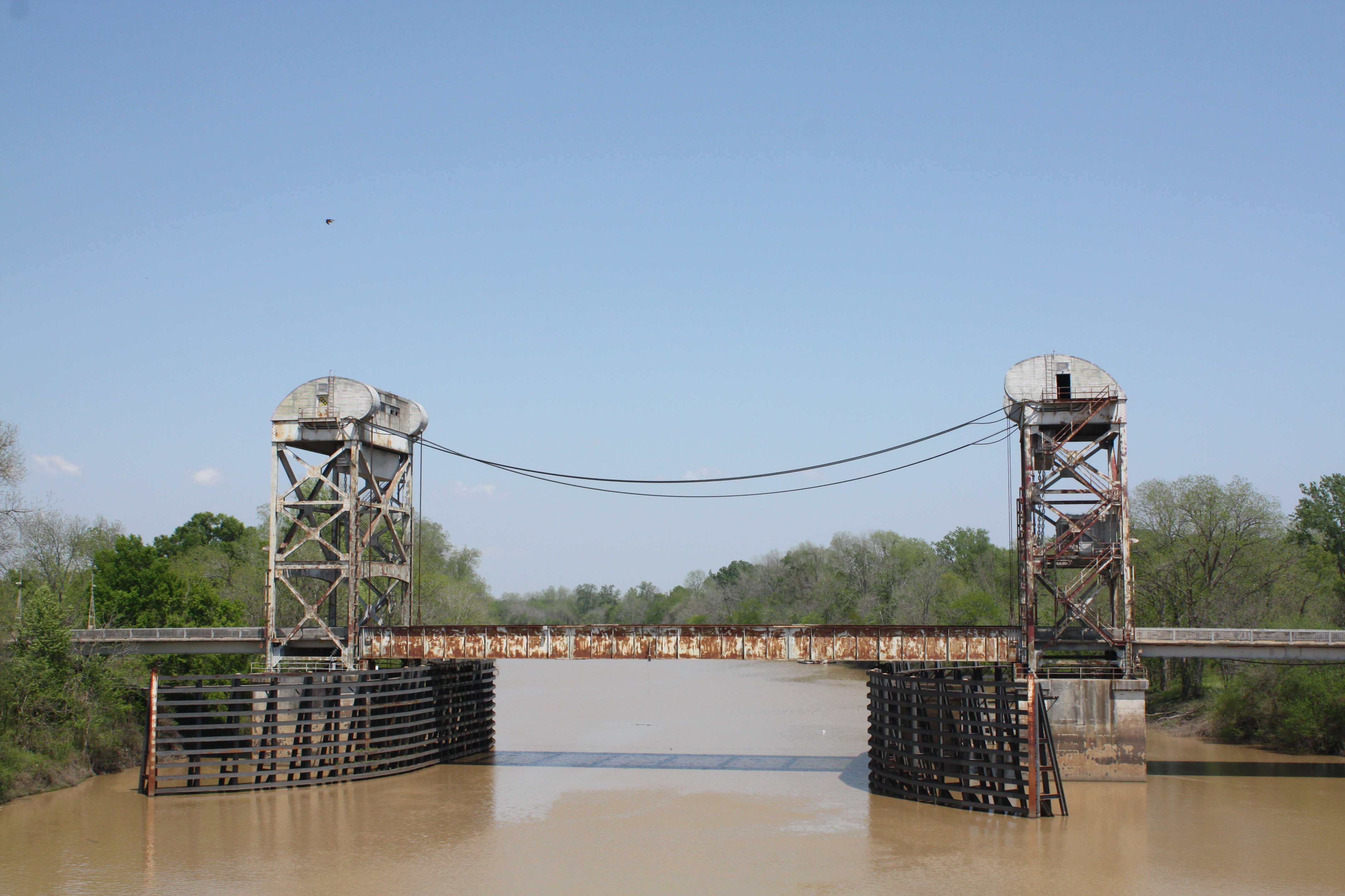
Tensas River Bridge
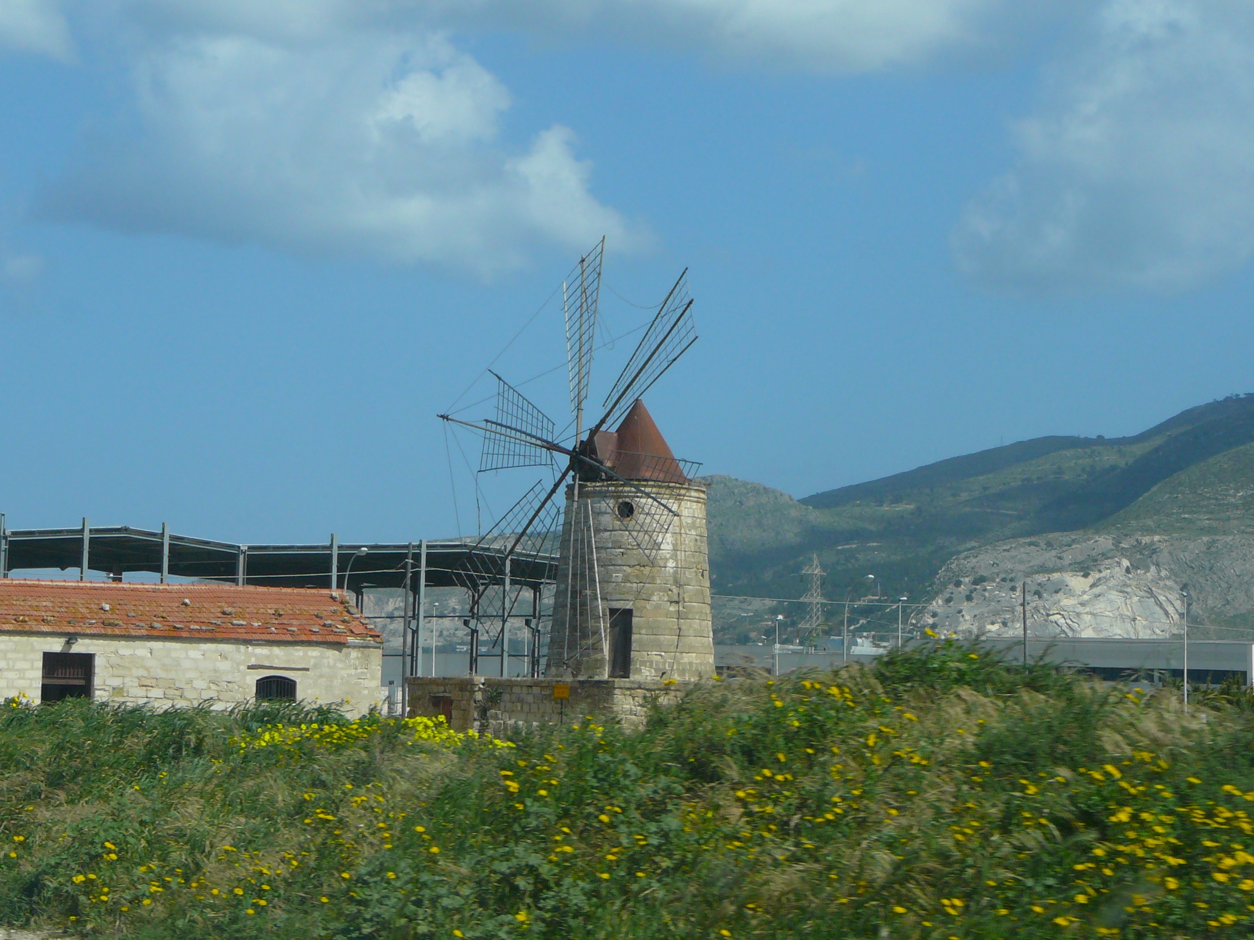
Windmills at the salt marshes

Beer drinking will kill ya

Lake Memorial Day
CIMG1017.JPG

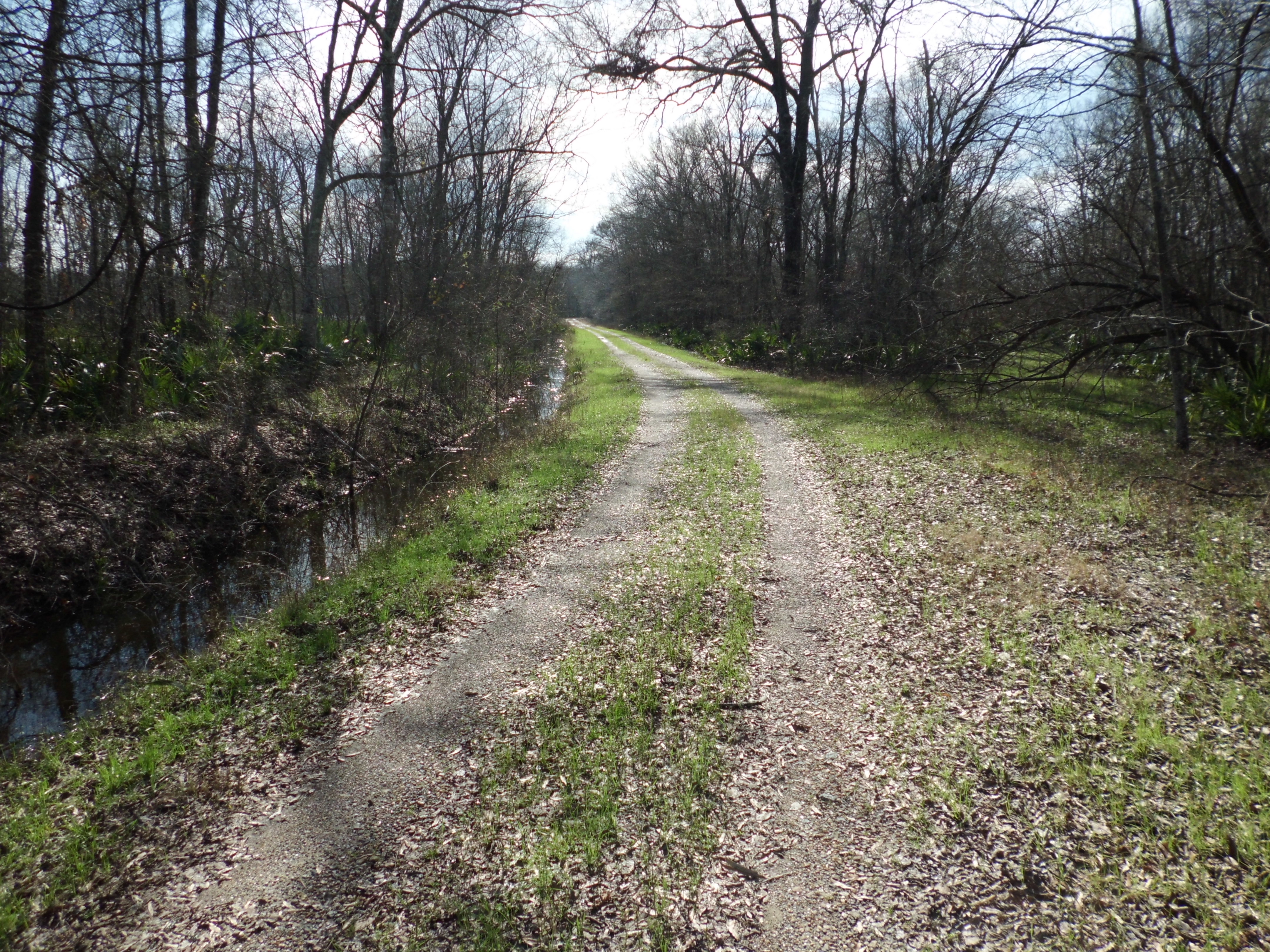
Tensas River at Cooter Point (Tensas Parish)
CIMG1014.JPG
CIMG1013.JPG
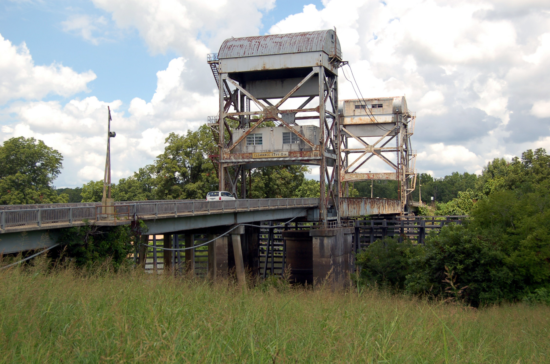
Tensas River Lift Bridge
Sicily Island, Louisiana
At Lake St John
Topographic Map of LA-, Waterproof, LA, USA
Find elevation by address:

Places near LA-, Waterproof, LA, USA:
US-, Clayton, LA, USA
2537 Par Rd 5a 59
6, LA, USA
132 Luneau Rd
1315 Doty Rd
State Rte, Waterproof, LA, USA
1279 Doty Rd
1279 Doty Rd
1763 State Rte 568
1763 State Rte 568
5a
1, LA, USA
721 Doty Rd
West Ferriday
660 Doty Rd
Ferriday
Louisiana Ave, Ferriday, LA, USA
214 Magnolia St
Wisner
Ridgecrest
Recent Searches:
- Elevation of Keene Point Drive, Keene Point Dr, Grant, AL, USA
- Elevation of State St, Zanesville, OH, USA
- Elevation of Austin Stone Dr, Haslet, TX, USA
- Elevation of Bydgoszcz, Poland
- Elevation of Bydgoszcz, Poland
- Elevation of Calais Dr, Del Mar, CA, USA
- Elevation of Placer Mine Ln, West Jordan, UT, USA
- Elevation of E 63rd St, New York, NY, USA
- Elevation of Elk City, OK, USA
- Elevation of Erika Dr, Windsor, CA, USA