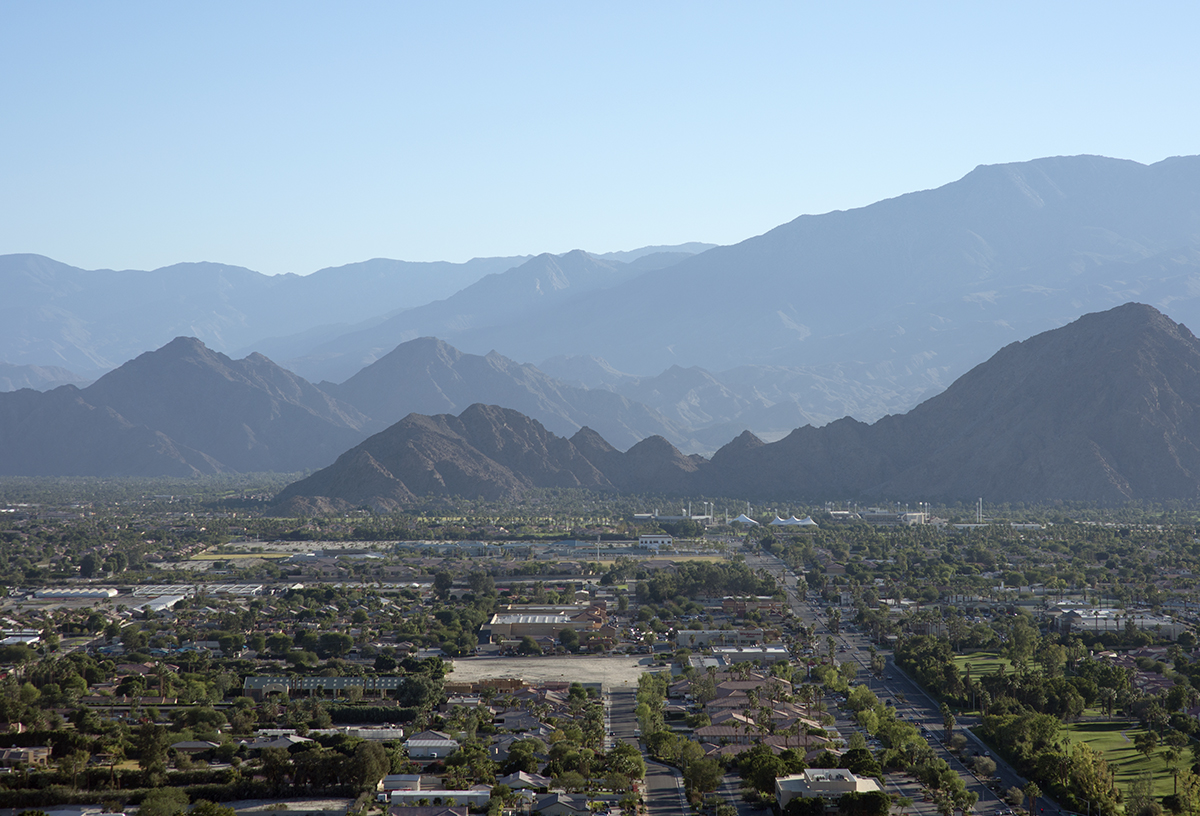
Elevation of La Quinta Resort Mountain Course, Avenida Vista Bonita, La Quinta, CA, USA
Location: United States > California > Riverside County > La Quinta >
Longitude: -116.31255
Latitude: 33.6829074
Elevation: 14m / 46feet
Barometric Pressure: 101KPa
Elevation Map:
Satellite Map:
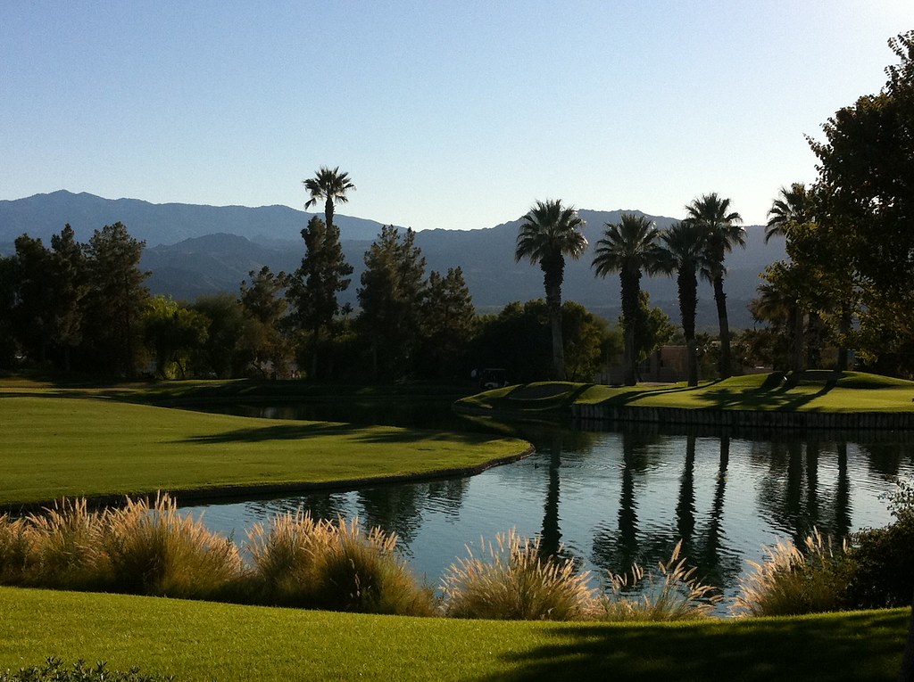
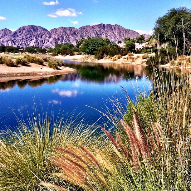
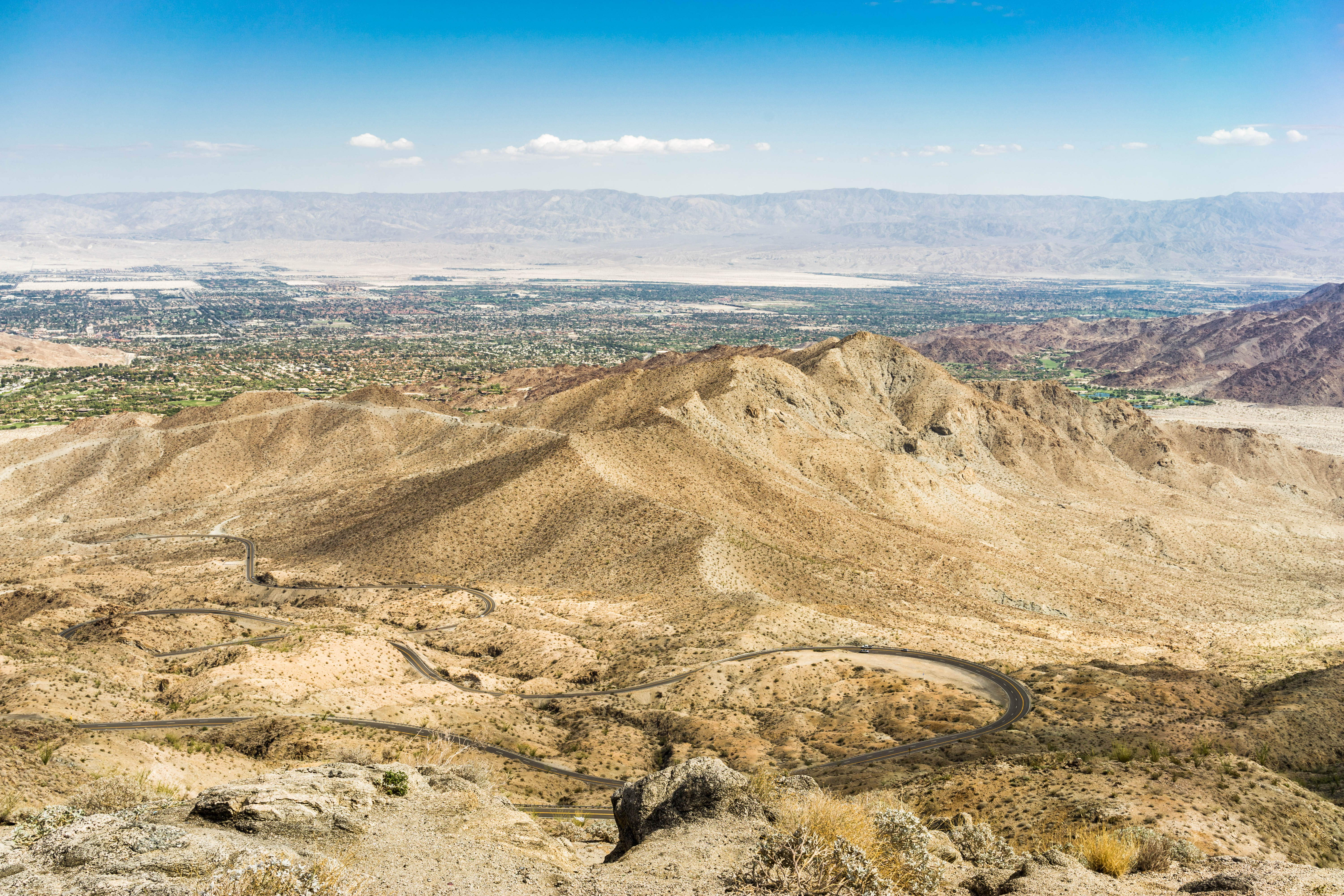
Related Photos:

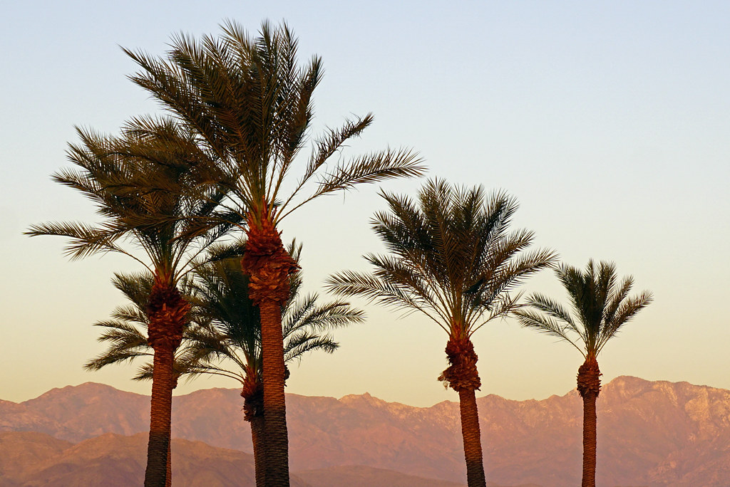
Sunrise 11_8_2010

Above Granite Construction Quarry, Indio, Riverside County, California
View from Homewood Suites by Hilton La Quinta, CA
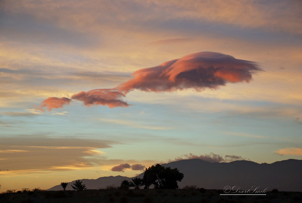
Morning Sunrise Clouds_3
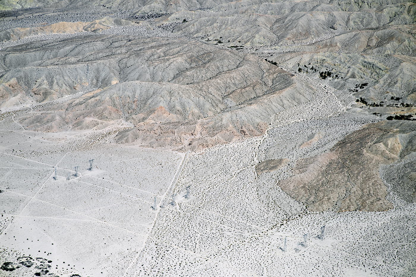
Aerial view of the San Andreas Fault Zone, Indio Hills, Riverside County, California
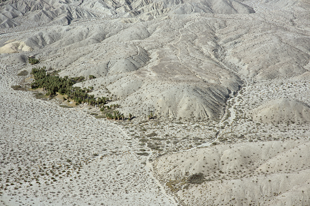
Aerial view of Willis Palms, Indio Hills, California
Aerial view of Point Happy and the Indian Wells Tennis Garden, Coachella Valley, California

Morning Sunrise Clouds_1

ALL I NEED IS THE AIR THAT I BREATHE... in/out of Explore

#Pretty #Sunset over the #golfcourse in #psp #laquinta #palmtrees #view #sun #sky #beautiful #palm
Doesn't get much better. Loved ones, sudoku, and a great view!
It's Palm Springs Modernism Week!
Homestead-Cassidy-Hayes Loop_20101031_023
Homestead-Cassidy-Hayes Loop_20101031_011
view out the front - Santa Rosa Cove

The Westin Desert Willow Villas, Palm Desert—Desert Willow Golf Course View of Main Club House. Click on thumbnail for more information about this asset.

The Westin Desert Willow Villas, Palm Desert—Golf Course View of Main Club House
Brunch view

Balloons and American Flag (Image Preservation Project)

Patio Chair

Hubbs @rigz8 smashing #golfballs #golf #fun #gregnorman #laquinta #pgawest #drivingrange #view #mountain #grass

January 2013 Landscape II
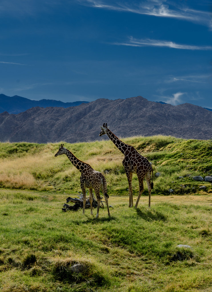
Giraffes at the Living Desert
Santa Rosa Virga

Desert Plateau
Indian Wells 03

I'm a Giraffe

Days End at The American Canal

Imagined Landscape VIII
IV Mirage 03.12.12

Grazing Giraffes

Giraffe Pasture
Photo Stream
Digital Impressions Of A Western Landscape II

Palm to Pines Highway - Palm Desert, CA

Desert Peaks
Life & Death
#the desert #oggl
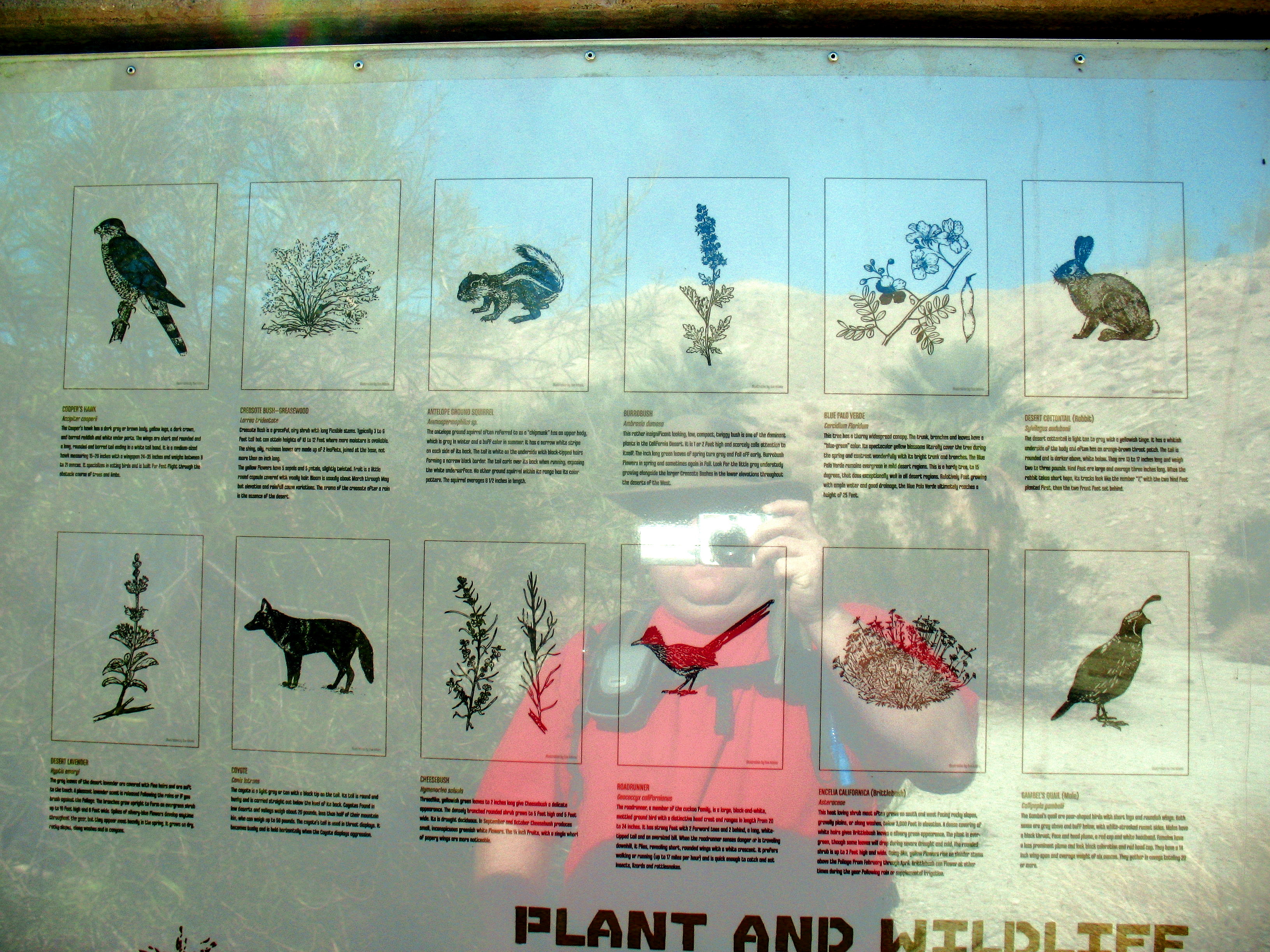
The Living Desert
#Reflection over the #lake at the #1sttee #golf #gregnorman #pgawest #laquinta #psp #palm #palmsprings #sky #clouds #mountain #trees #pretty
Pines to Palms Highway
Topographic Map of La Quinta Resort Mountain Course, Avenida Vista Bonita, La Quinta, CA, USA
Find elevation by address:

Places near La Quinta Resort Mountain Course, Avenida Vista Bonita, La Quinta, CA, USA:
La Quinta Country Club
Hidden Canyon Country Club
La Quinta, CA, USA
La Quinta
51200 Calle Paloma
Eisenhower Mountain
78225 Cortez Ln Unit 186
78930 Citrus
46810 Highland Palms Dr
La Quinta, CA, USA
Schubert Way, Indian Wells, CA, USA
48020 Vía Vallarta
Miles Avenue
78200 Miles Ave
Indian Wells Tennis Garden
79440 Corporate Centre Dr
Indian Wells
Ave 48, Indio, CA, USA
75311 Painted Desert Dr
45060 Desert Hills Ct
Recent Searches:
- Elevation of Leyte Industrial Development Estate, Isabel, Leyte, Philippines
- Elevation of W Granada St, Tampa, FL, USA
- Elevation of Pykes Down, Ivybridge PL21 0BY, UK
- Elevation of Jalan Senandin, Lutong, Miri, Sarawak, Malaysia
- Elevation of Bilohirs'k
- Elevation of 30 Oak Lawn Dr, Barkhamsted, CT, USA
- Elevation of Luther Road, Luther Rd, Auburn, CA, USA
- Elevation of Unnamed Road, Respublika Severnaya Osetiya — Alaniya, Russia
- Elevation of Verkhny Fiagdon, North Ossetia–Alania Republic, Russia
- Elevation of F. Viola Hiway, San Rafael, Bulacan, Philippines