Elevation of LA-, Haughton, LA, USA
Location: United States > Louisiana > Bossier Parish > > Haughton >
Longitude: -93.514403
Latitude: 32.562173
Elevation: 86m / 282feet
Barometric Pressure: 100KPa
Elevation Map:
Satellite Map:
Related Photos:
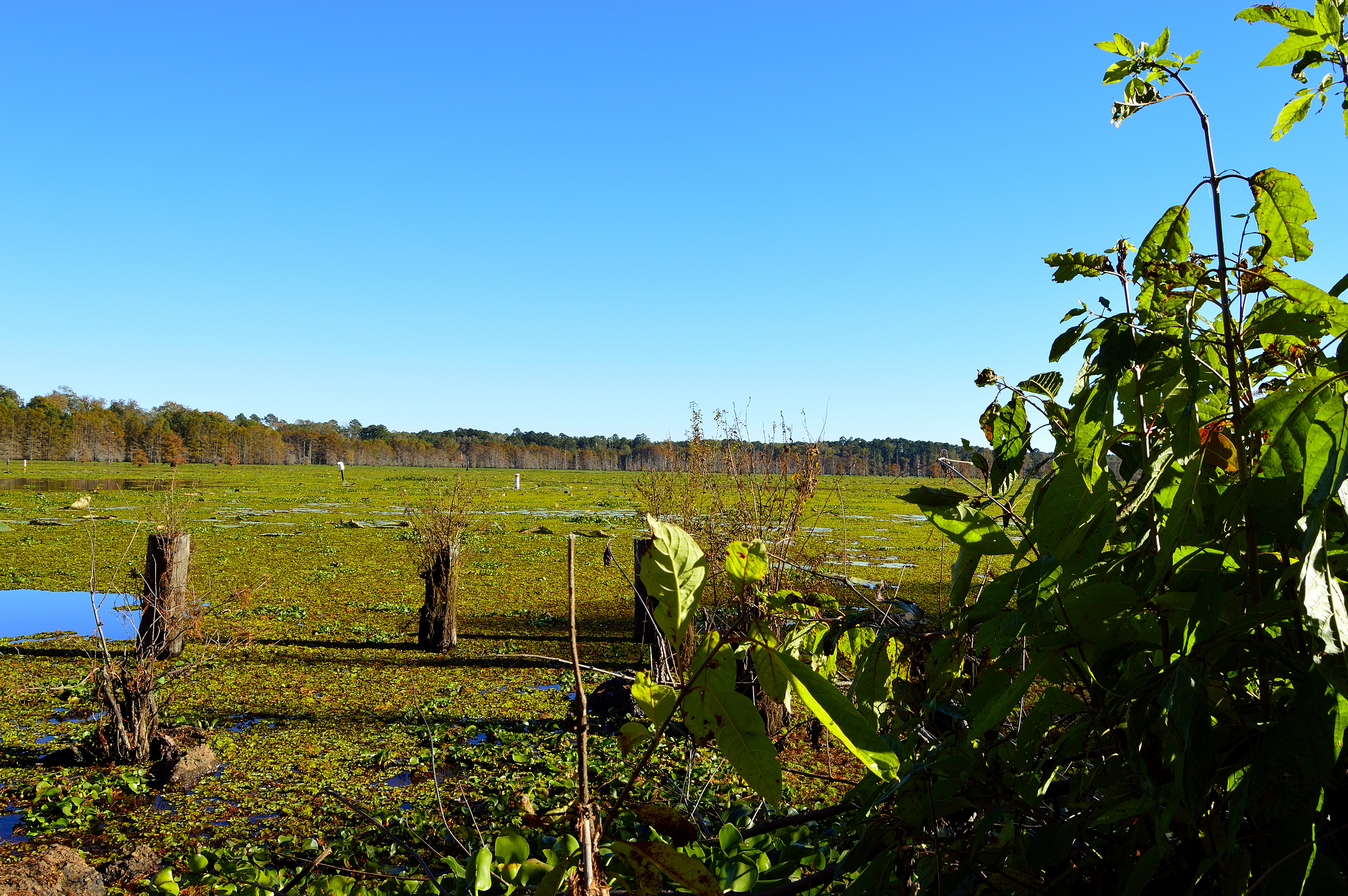
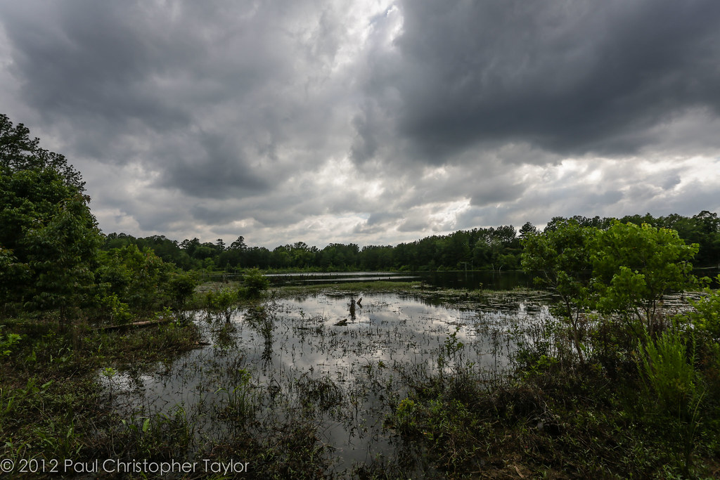
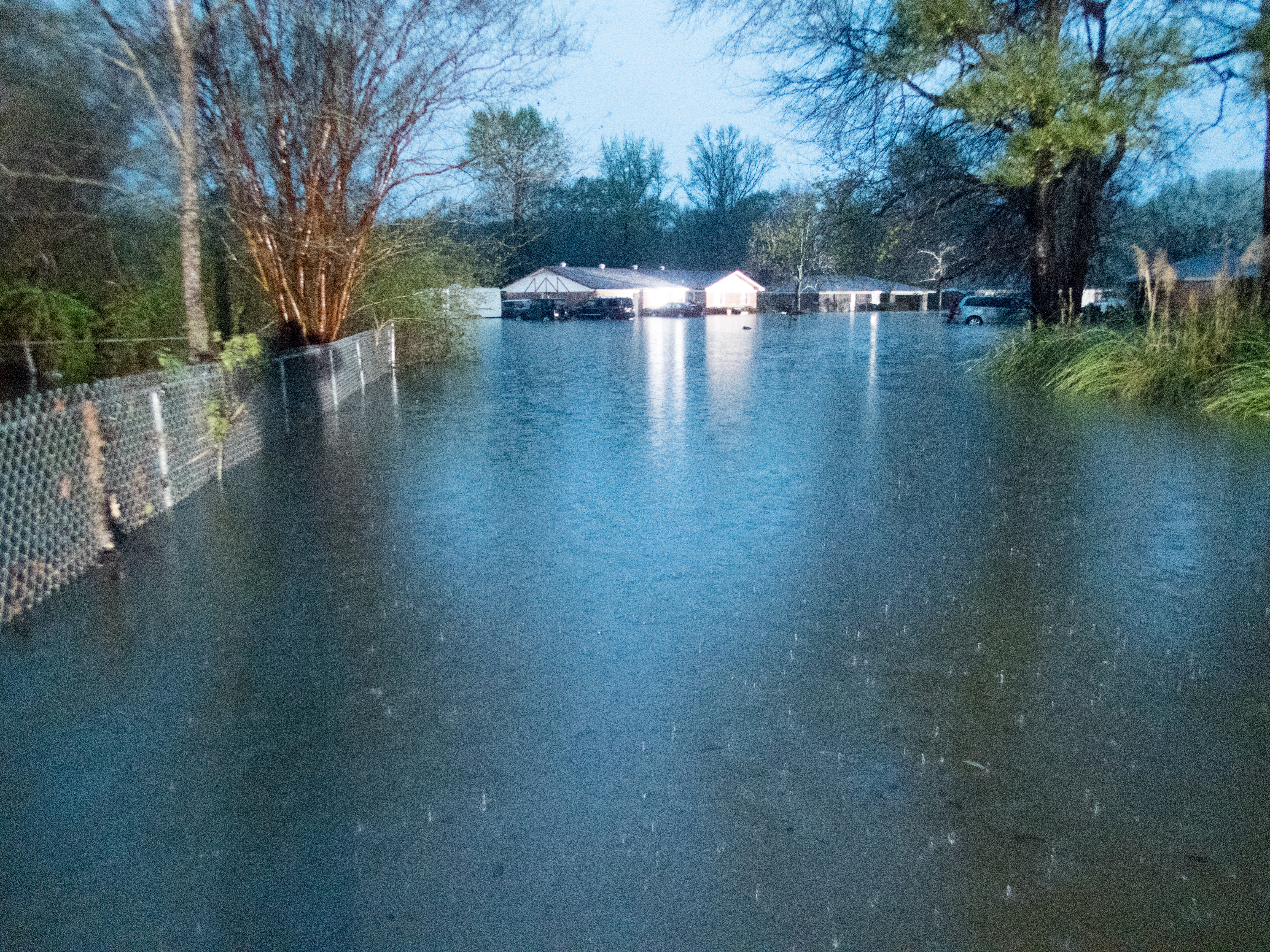
View from the Bank 2
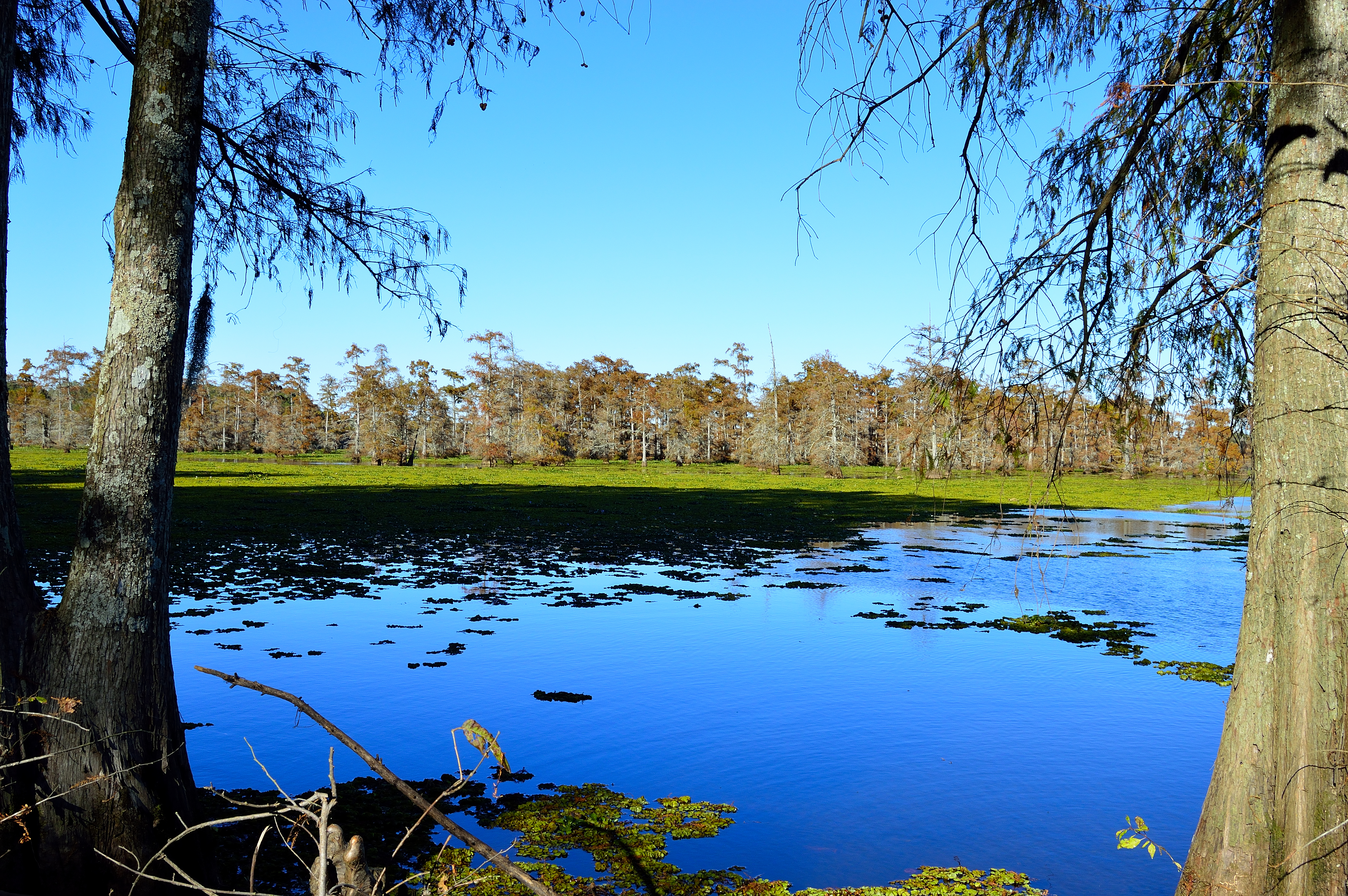
View from the Bank 1
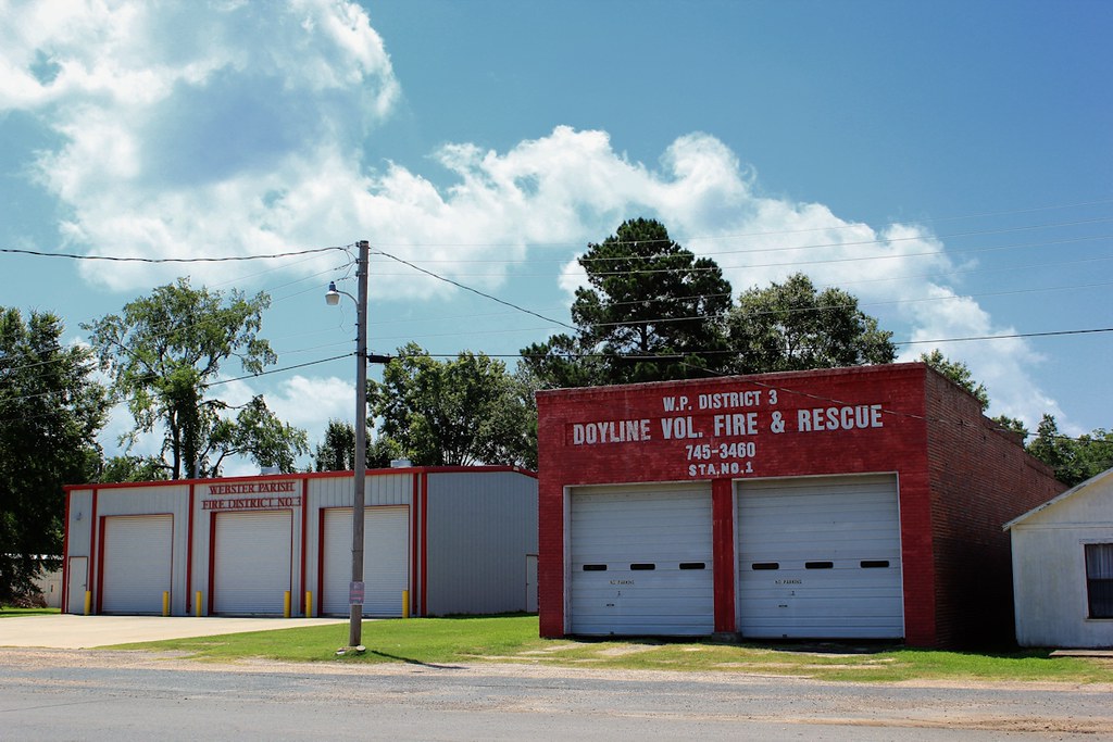
View of Doyline, Louisiana.
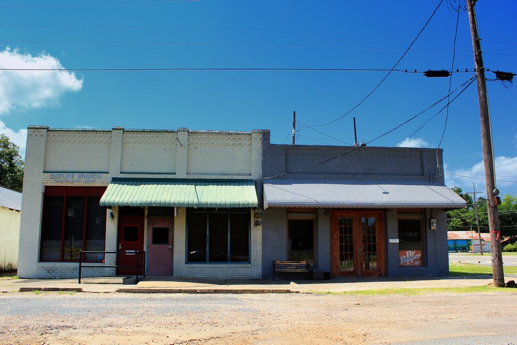
View of Doyline, Louisiana.

Flag Lake
Ugly Bayou

Southern Broken-Dash?

Little Wood-Satyr

Southern Copperhead

Carolina Satyr
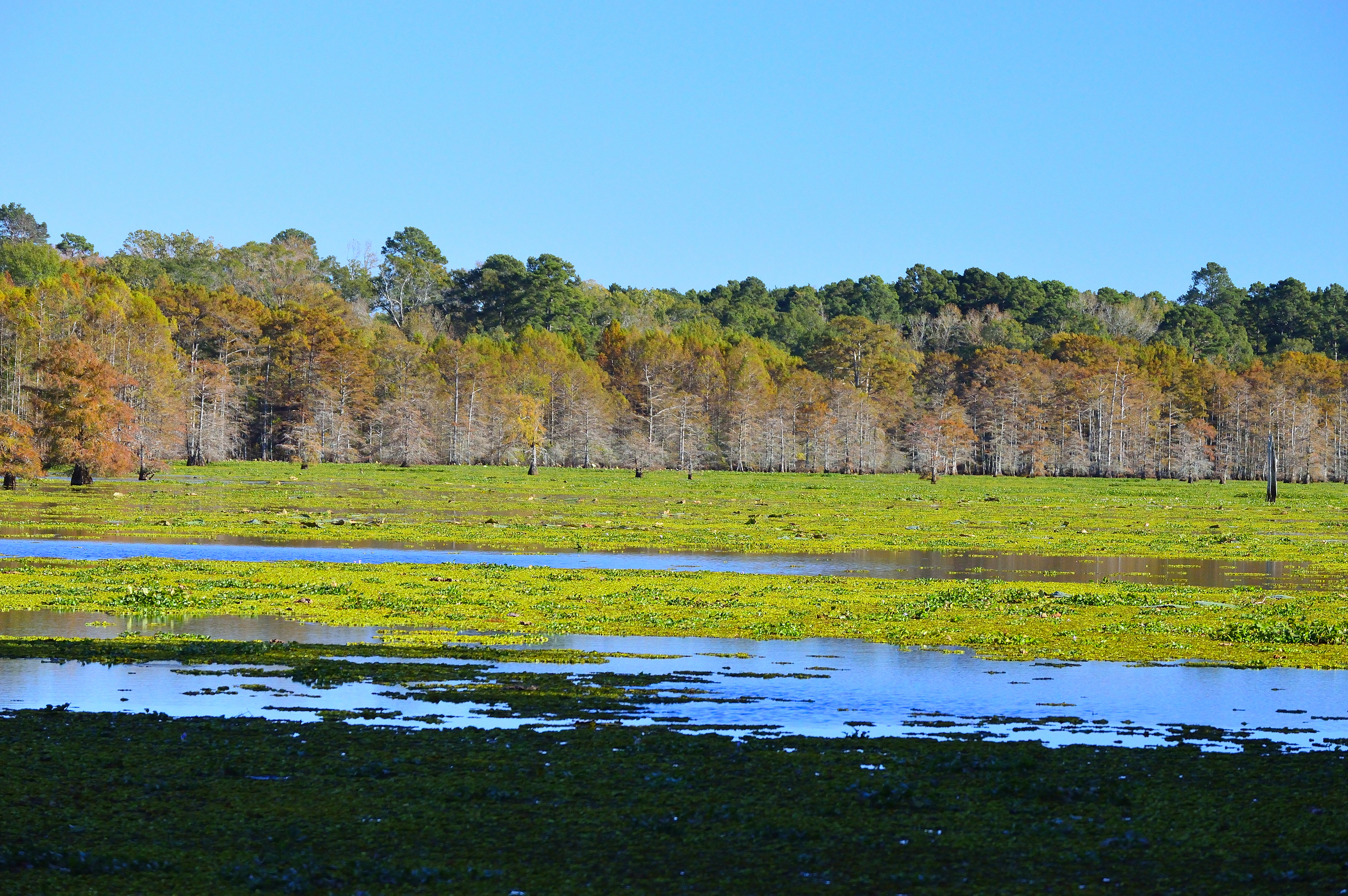
On the Bayou
P3100274.jpg
Topographic Map of LA-, Haughton, LA, USA
Find elevation by address:

Places near LA-, Haughton, LA, USA:
Giddens Hill
Haughton
229 Southern Creek Cir
111 Bent Tree Loop
2, LA, USA
Lindsey Rd, Haughton, LA, USA
3819 Bellevue Rd
3819 Bellevue Rd
4502 Bellevue Rd
Skipper Dr, Haughton, LA, USA
Glendale Ln, Haughton, LA, USA
Bellevue Rd, Haughton, LA, USA
Sligo Rd, Bossier City, LA, USA
Red Chute
2 Sterling Ranch Rd N, Haughton, LA, USA
704 Fox Nest
Doyline
Pinehaven Lane
Harrah's Louisiana Downs Casino And Racetrack
10, LA, USA
Recent Searches:
- Elevation of Woodland Oak Pl, Thousand Oaks, CA, USA
- Elevation of Brownsdale Rd, Renfrew, PA, USA
- Elevation of Corcoran Ln, Suffolk, VA, USA
- Elevation of Mamala II, Sariaya, Quezon, Philippines
- Elevation of Sarangdanda, Nepal
- Elevation of 7 Waterfall Way, Tomball, TX, USA
- Elevation of SW 57th Ave, Portland, OR, USA
- Elevation of Crocker Dr, Vacaville, CA, USA
- Elevation of Pu Ngaol Community Meeting Hall, HWHM+3X7, Krong Saen Monourom, Cambodia
- Elevation of Royal Ontario Museum, Queens Park, Toronto, ON M5S 2C6, Canada