Elevation of La Fayette, IL, USA
Location: United States > Illinois > Stark County > Goshen Township >
Longitude: -89.973179
Latitude: 41.1086723
Elevation: 243m / 797feet
Barometric Pressure: 98KPa
Elevation Map:
Satellite Map:
Related Photos:
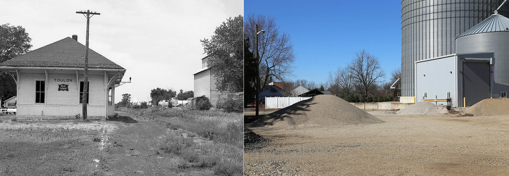
CRI&P Depot Toulon, Illinois

C/2014 E2 Jacques
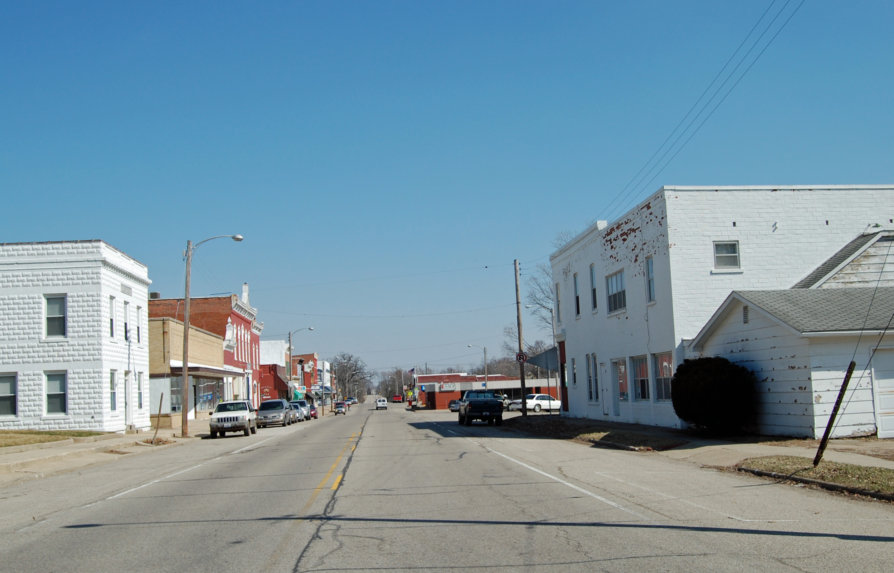
Toulon - Main St.
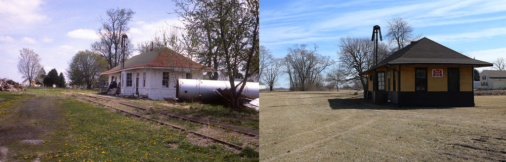
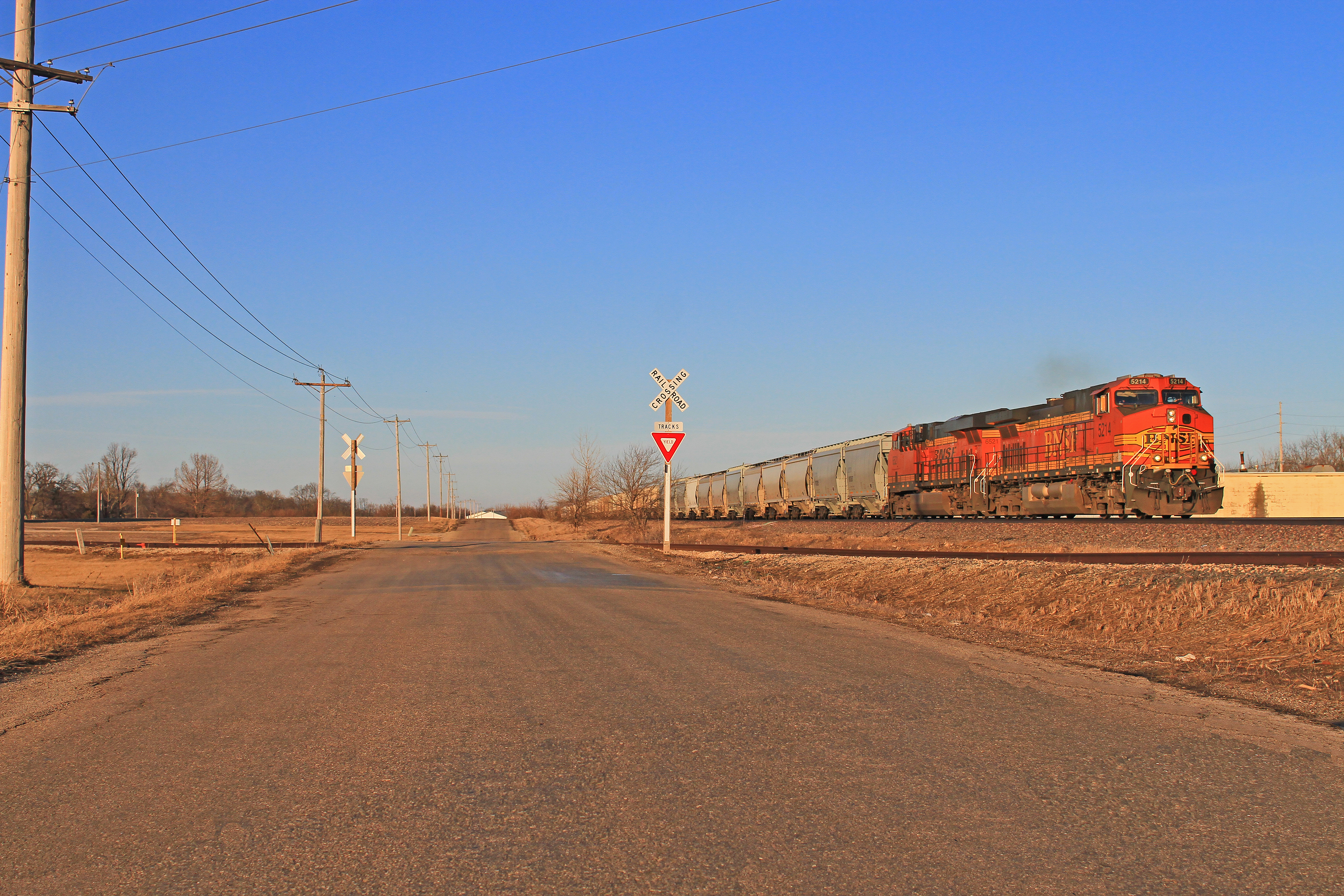
CRI&P Depot Lafayette, Illinois

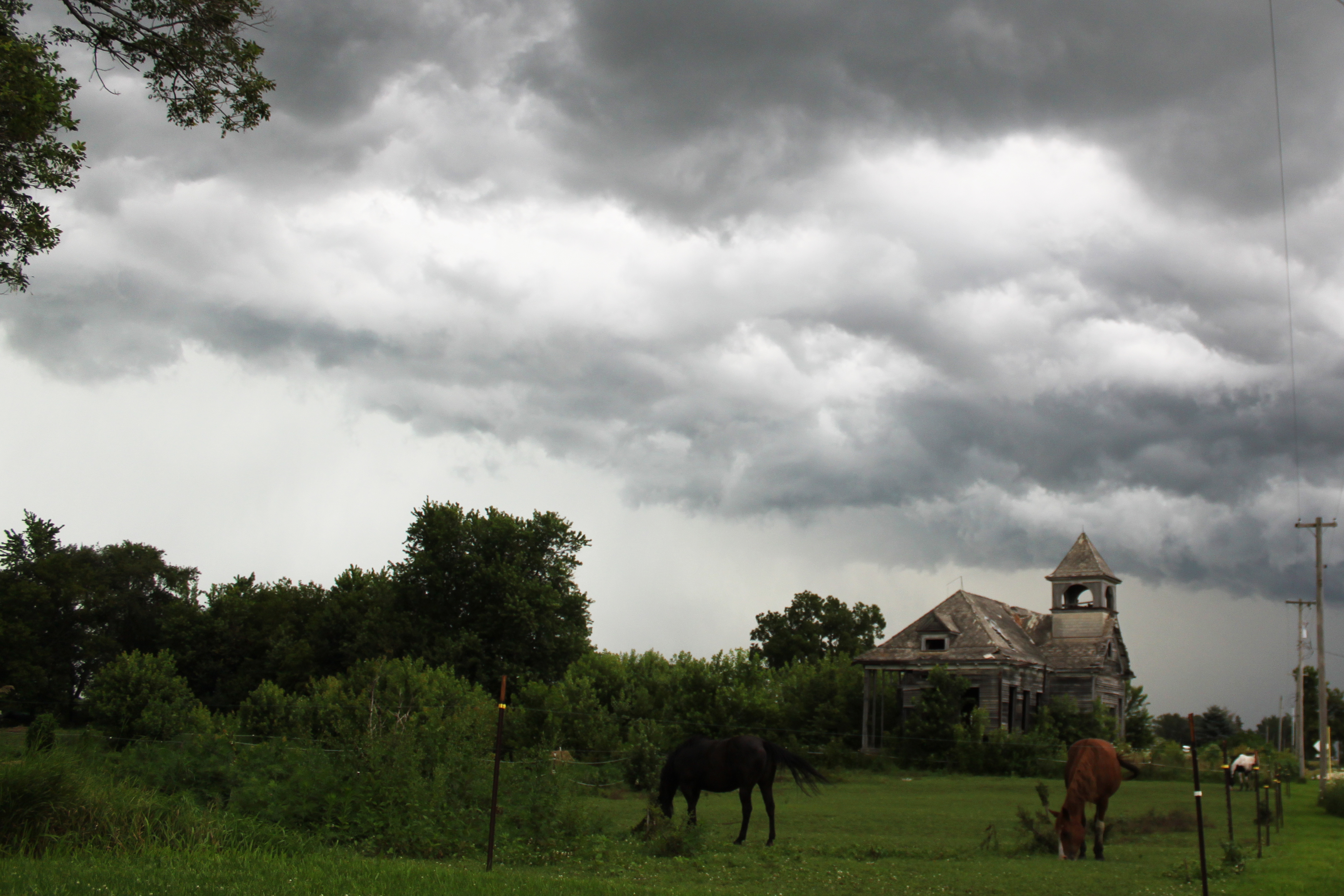
Star Trails over Elmira
Pay No Heed
RI038219.JPG

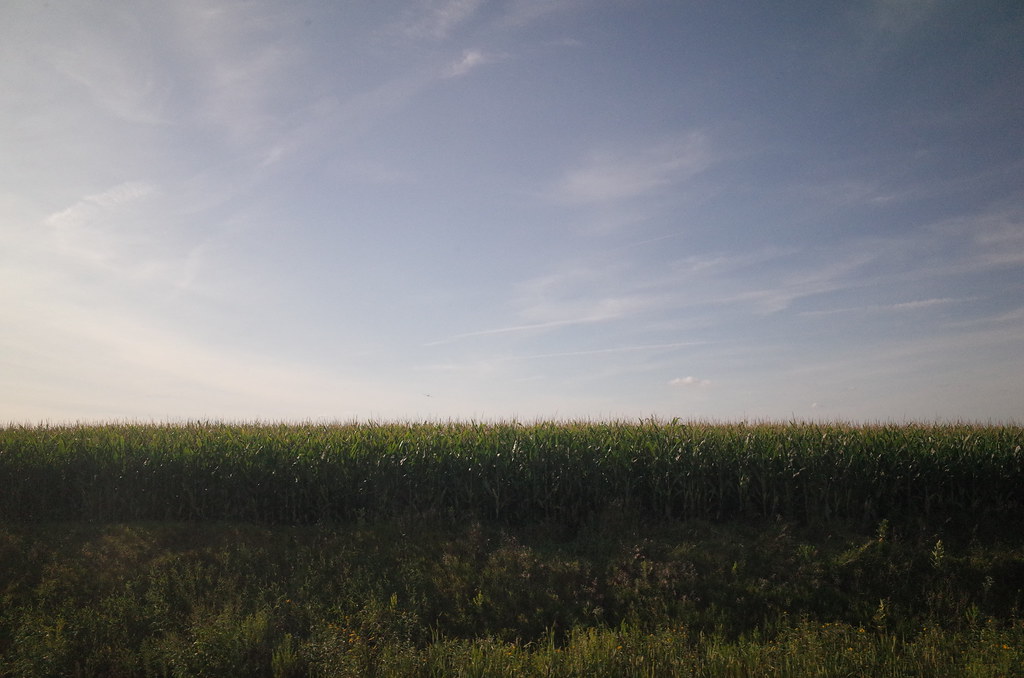
September 5, 2009

Every once in a while, Illinois decides to rise to the occasion and be beautiful.

Sunrise September 4, 2010
Sand Loads in the Sunset
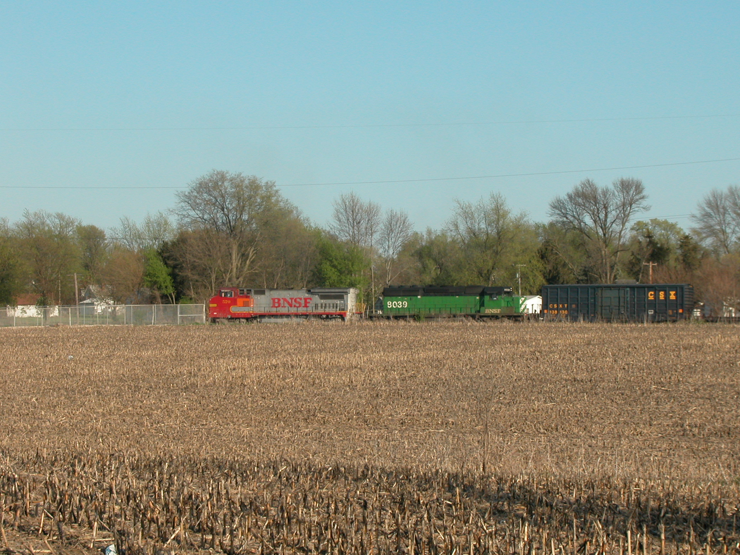
20030427 20 BNSF Galva, IL

September 5, 2009
Topographic Map of La Fayette, IL, USA
Find elevation by address:

Places near La Fayette, IL, USA:
Goshen Township
W Main St, Toulon, IL, USA
Toulon
Toulon
Toulon
Toulon
Toulon
Toulon
Toulon
Toulon
Toulon
Toulon
Toulon
Toulon
Toulon
Toulon
Toulon
Toulon
Toulon
Toulon
Recent Searches:
- Elevation of W Granada St, Tampa, FL, USA
- Elevation of Pykes Down, Ivybridge PL21 0BY, UK
- Elevation of Jalan Senandin, Lutong, Miri, Sarawak, Malaysia
- Elevation of Bilohirs'k
- Elevation of 30 Oak Lawn Dr, Barkhamsted, CT, USA
- Elevation of Luther Road, Luther Rd, Auburn, CA, USA
- Elevation of Unnamed Road, Respublika Severnaya Osetiya — Alaniya, Russia
- Elevation of Verkhny Fiagdon, North Ossetia–Alania Republic, Russia
- Elevation of F. Viola Hiway, San Rafael, Bulacan, Philippines
- Elevation of Herbage Dr, Gulfport, MS, USA