Elevation of LA-, Deville, LA, USA
Location: United States > Louisiana > Rapides Parish > C >
Longitude: -92.16557
Latitude: 31.33739
Elevation: 26m / 85feet
Barometric Pressure: 101KPa
Elevation Map:
Satellite Map:
Related Photos:
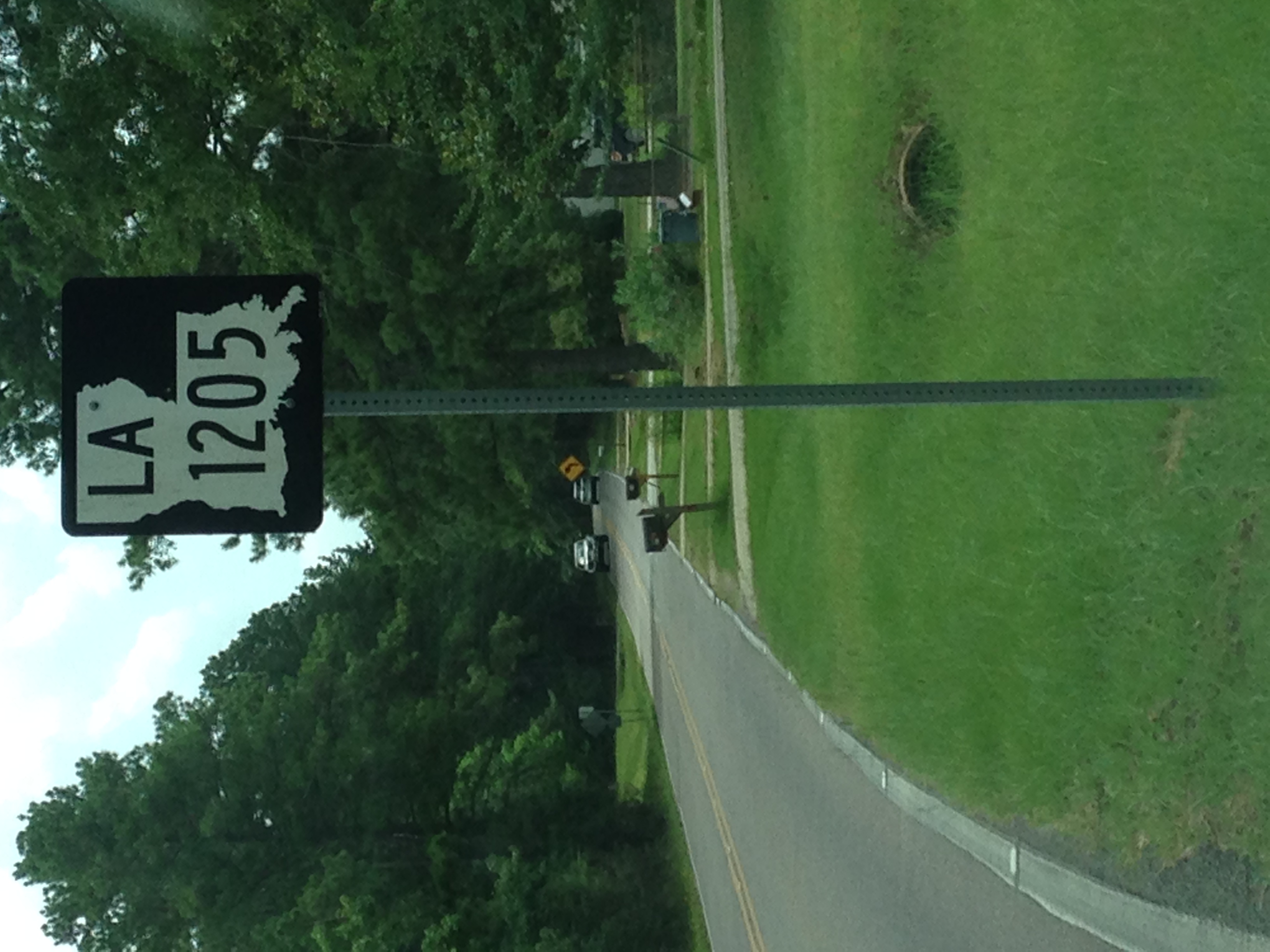
LA 1205 Route Sign with Context

LA 1205 Route Sign

LA 28 and 1207 Route Signs
2009-08-07
2009-08-07
2009-08-07

Dew Drop 3

Dew Drop 2

Dew Drop 1

Electric Wine
Topographic Map of LA-, Deville, LA, USA
Find elevation by address:

Places near LA-, Deville, LA, USA:
Deville Cutoff Road
86 Deville Cutoff Rd
Deville
LA-, Deville, LA, USA
Morris Sasser Road
C
Barron
Esler Field Rd, Pineville, LA, USA
Old Marksville Hwy, Pineville, LA, USA
425 Fendler Pkwy
322 Pinehill Rd
B
208 Woodcliff Cir
141 Sunburst Ln
125 Lemons Ln
550 Hiawatha Trail
818 Brooks Ln
Davis Drive
A
200 Military Hwy
Recent Searches:
- Elevation of Elwyn Dr, Roanoke Rapids, NC, USA
- Elevation of Congressional Dr, Stevensville, MD, USA
- Elevation of Bellview Rd, McLean, VA, USA
- Elevation of Stage Island Rd, Chatham, MA, USA
- Elevation of Shibuya Scramble Crossing, 21 Udagawacho, Shibuya City, Tokyo -, Japan
- Elevation of Jadagoniai, Kaunas District Municipality, Lithuania
- Elevation of Pagonija rock, Kranto 7-oji g. 8"N, Kaunas, Lithuania
- Elevation of Co Rd 87, Jamestown, CO, USA
- Elevation of Tenjo, Cundinamarca, Colombia
- Elevation of Côte-des-Neiges, Montreal, QC H4A 3J6, Canada