Elevation of La Coulotte Ridge, East Kootenay A, BC V0B, Canada
Location: Canada > British Columbia > Grasmere >
Longitude: -114.29166
Latitude: 49.1866666
Elevation: 2303m / 7556feet
Barometric Pressure: 77KPa
Elevation Map:
Satellite Map:
Related Photos:
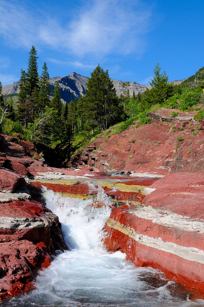
Colorful Nature
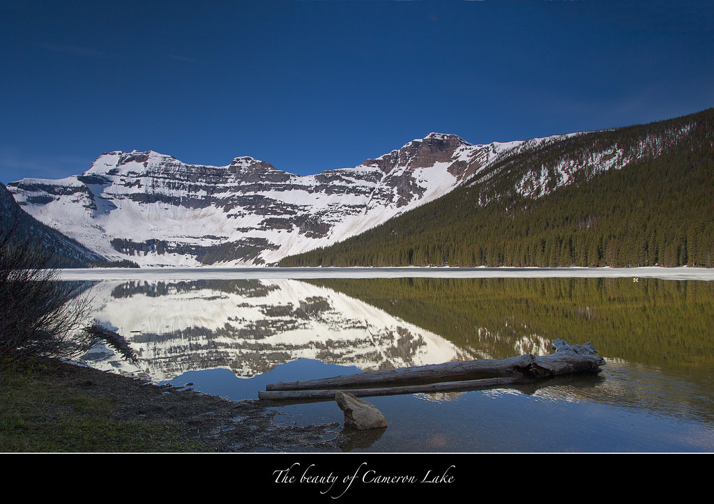
Cameron Lake-Waterton Lakes National Park-Canada
Topographic Map of La Coulotte Ridge, East Kootenay A, BC V0B, Canada
Find elevation by address:

Places near La Coulotte Ridge, East Kootenay A, BC V0B, Canada:
Jutland Mountain
La Coulotte Peak
Mount Matkin
Font Mountain
Scarpe Mountain
Clark Range
Kishinena Peak
Starvation Peak
King Edward Peak
Mount Bauerman
Lone Mountain
Avion Ridge
Festubert Mountain
Long Knife Peak
Anderson Peak
Mount Hawkins
Boulder Pass Trail
Mount Glendowan
Parke Peak
Kinnerly Peak
Recent Searches:
- Elevation of Corso Fratelli Cairoli, 35, Macerata MC, Italy
- Elevation of Tallevast Rd, Sarasota, FL, USA
- Elevation of 4th St E, Sonoma, CA, USA
- Elevation of Black Hollow Rd, Pennsdale, PA, USA
- Elevation of Oakland Ave, Williamsport, PA, USA
- Elevation of Pedrógão Grande, Portugal
- Elevation of Klee Dr, Martinsburg, WV, USA
- Elevation of Via Roma, Pieranica CR, Italy
- Elevation of Tavkvetili Mountain, Georgia
- Elevation of Hartfords Bluff Cir, Mt Pleasant, SC, USA