Elevation of La Banda de Shilcayo District, Tarapoto, Peru
Location: Peru > San Martin > San Martin > Tarapoto >
Longitude: -76.346362
Latitude: -6.4927163
Elevation: 370m / 1214feet
Barometric Pressure: 97KPa
Elevation Map:
Satellite Map:
Related Photos:

Paradise Tanager Y9C3869.jpg

Paradise Tanager Y9C3850.jpg

forest views, Taropoto, N Peru, 2003-07-13 (3 of 3).jpg

forest views, Taropoto, N Peru, 2003-07-13 (1 of 3).jpg
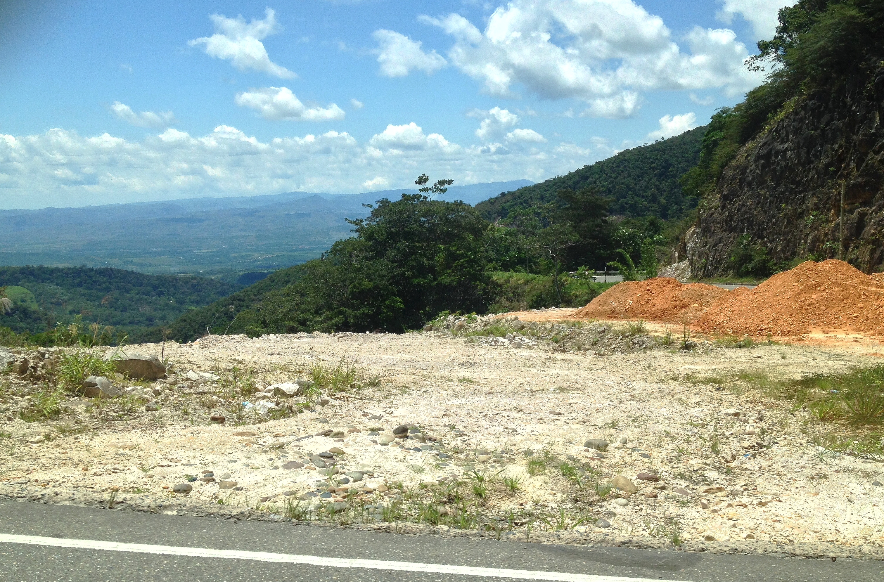
11-10-13 View of Mountains and Forest from Tunnel Road

View from our hostel

Tarapoto 2

Ahuashiyacu falls
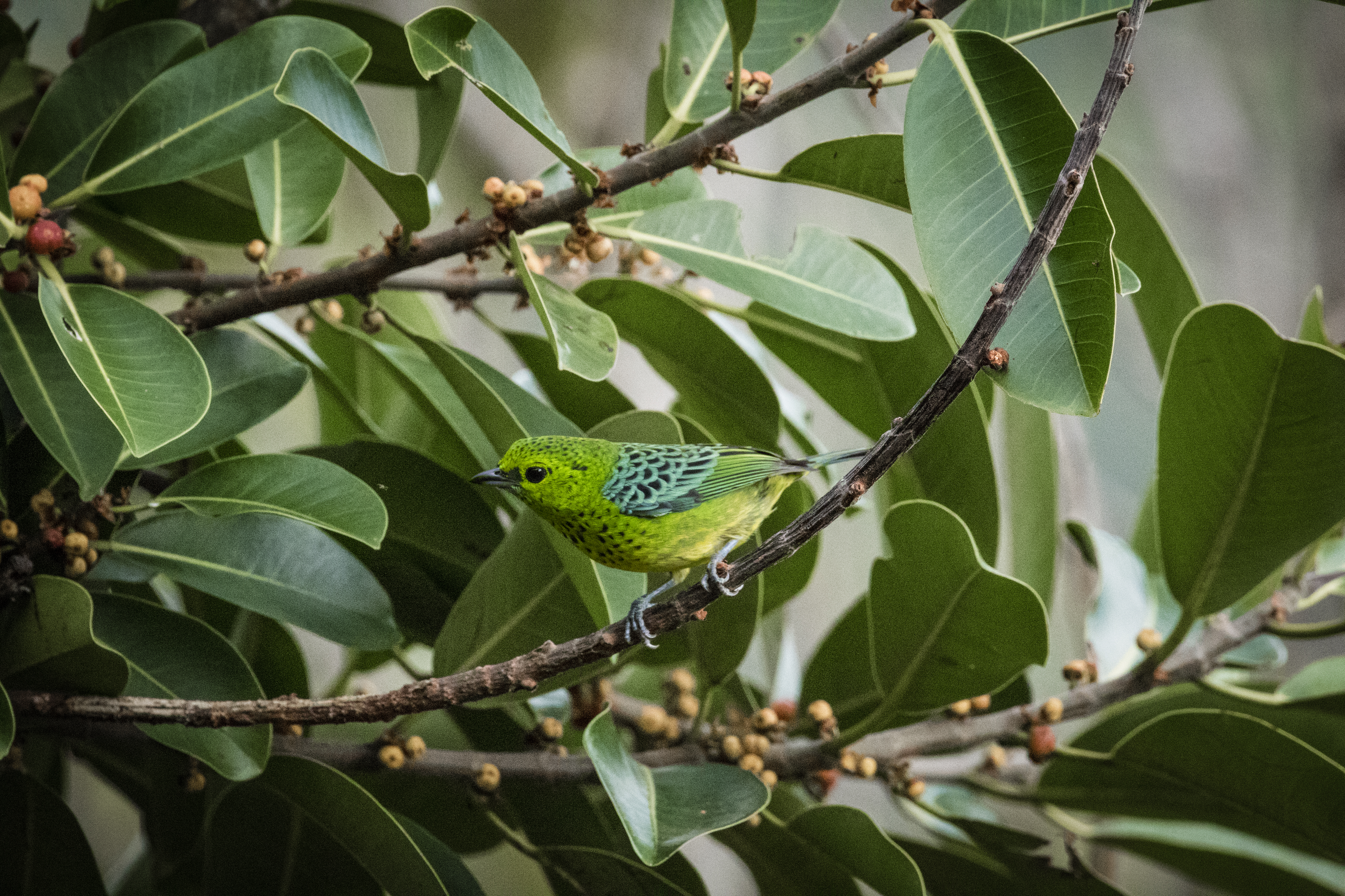
Yellow-bellied Tanager (Tangara xanthogastra)

Grey-breasted Sabrewing / Ala de sable de pecho gris

Atardecer cerca al río

Tarapoto - Lago lindo

Tarapoto - El Majestuoso Huallaga

Peru water studies

La selva baja - Tarapoto

Koepcke's Hermit Y9C3930-Edit.jpg

Cerca de la cascada de Ahuashiyacu

Ricefields, Tarapoto, Peru

Countryside near Tarapoto_7D_8244

Near Ahuashiyacu Waterfall, Peru

Río Shilcayo

Jungle!!!

11-9-13 Rice Paddies Near Tarapoto PM

Bocatoma del río Shilcayo

Cascada Aguashiyacu - Tarapoto - Perú

11-10-13 Mountains and Vegetation on Tunnel Road
Topographic Map of La Banda de Shilcayo District, Tarapoto, Peru
Find elevation by address:

Places in La Banda de Shilcayo District, Tarapoto, Peru:
Places near La Banda de Shilcayo District, Tarapoto, Peru:
Ricardo Palma
San Martin
Tarapoto
Lamas Province
Chazuta
Caynarachi
5N 52, Peru
Alto Amazonas Province
Anex Baños Termales De San Mateo
Waqanki Lodge
San Gabriel De Varadero
Moyobamba
Moyobamba Province
Soritor
Rioja Province
Nueva Cajamarca
Recent Searches:
- Elevation of Congressional Dr, Stevensville, MD, USA
- Elevation of Bellview Rd, McLean, VA, USA
- Elevation of Stage Island Rd, Chatham, MA, USA
- Elevation of Shibuya Scramble Crossing, 21 Udagawacho, Shibuya City, Tokyo -, Japan
- Elevation of Jadagoniai, Kaunas District Municipality, Lithuania
- Elevation of Pagonija rock, Kranto 7-oji g. 8"N, Kaunas, Lithuania
- Elevation of Co Rd 87, Jamestown, CO, USA
- Elevation of Tenjo, Cundinamarca, Colombia
- Elevation of Côte-des-Neiges, Montreal, QC H4A 3J6, Canada
- Elevation of Bobcat Dr, Helena, MT, USA