Elevation of LA-55, Montegut, LA, USA
Location: United States > Louisiana > Terrebonne Parish > > Montegut >
Longitude: -90.557946
Latitude: 29.471699
Elevation: 1m / 3feet
Barometric Pressure: 101KPa
Elevation Map:
Satellite Map:
Related Photos:

Female Black-crowned Night-heron

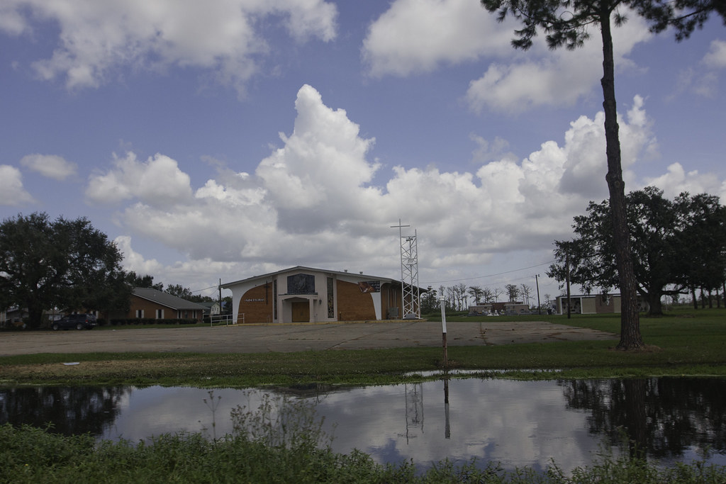
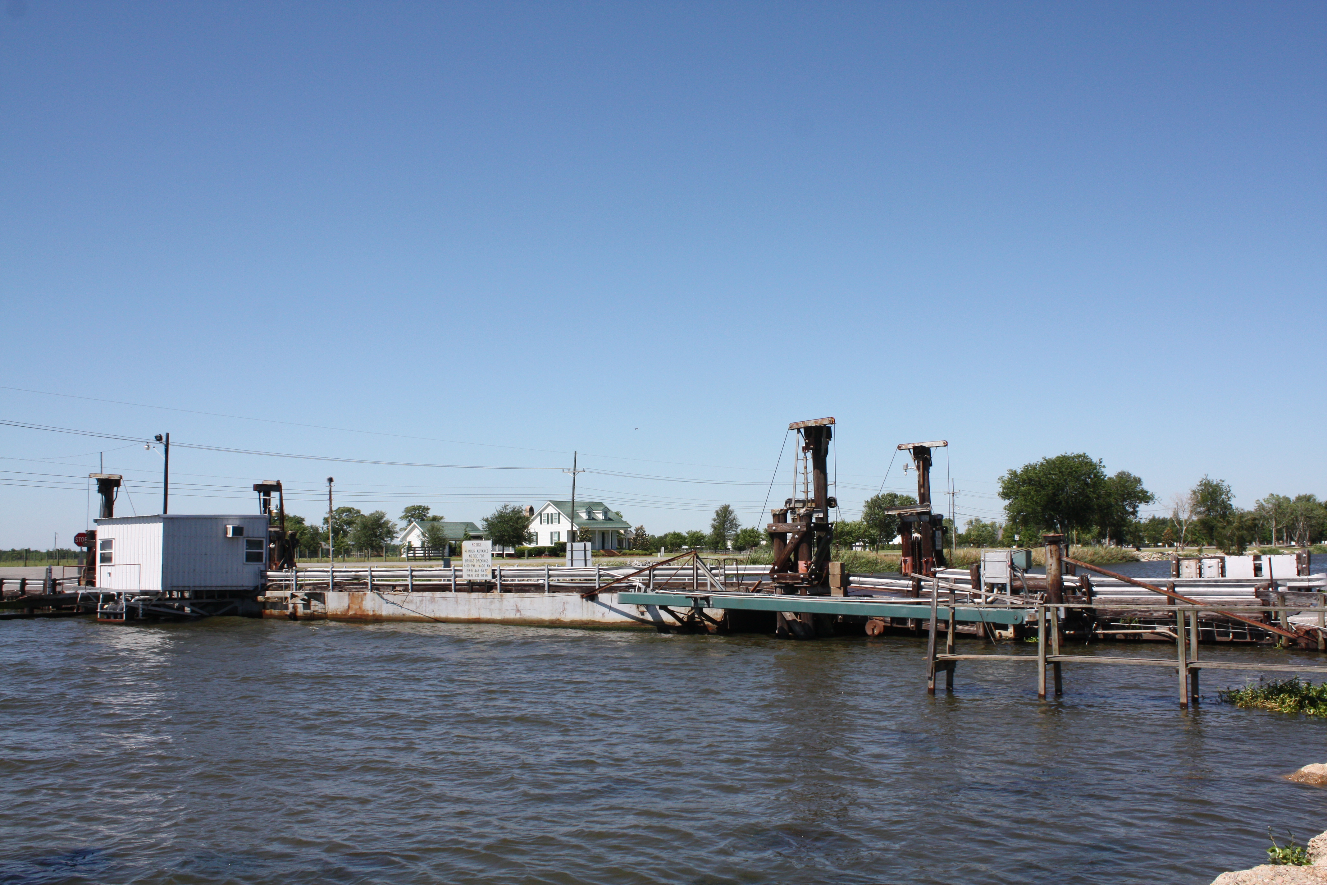
Chauvin Bridge
IMG_0761-2
IMG_0675-2
Toussant Foret Bridge
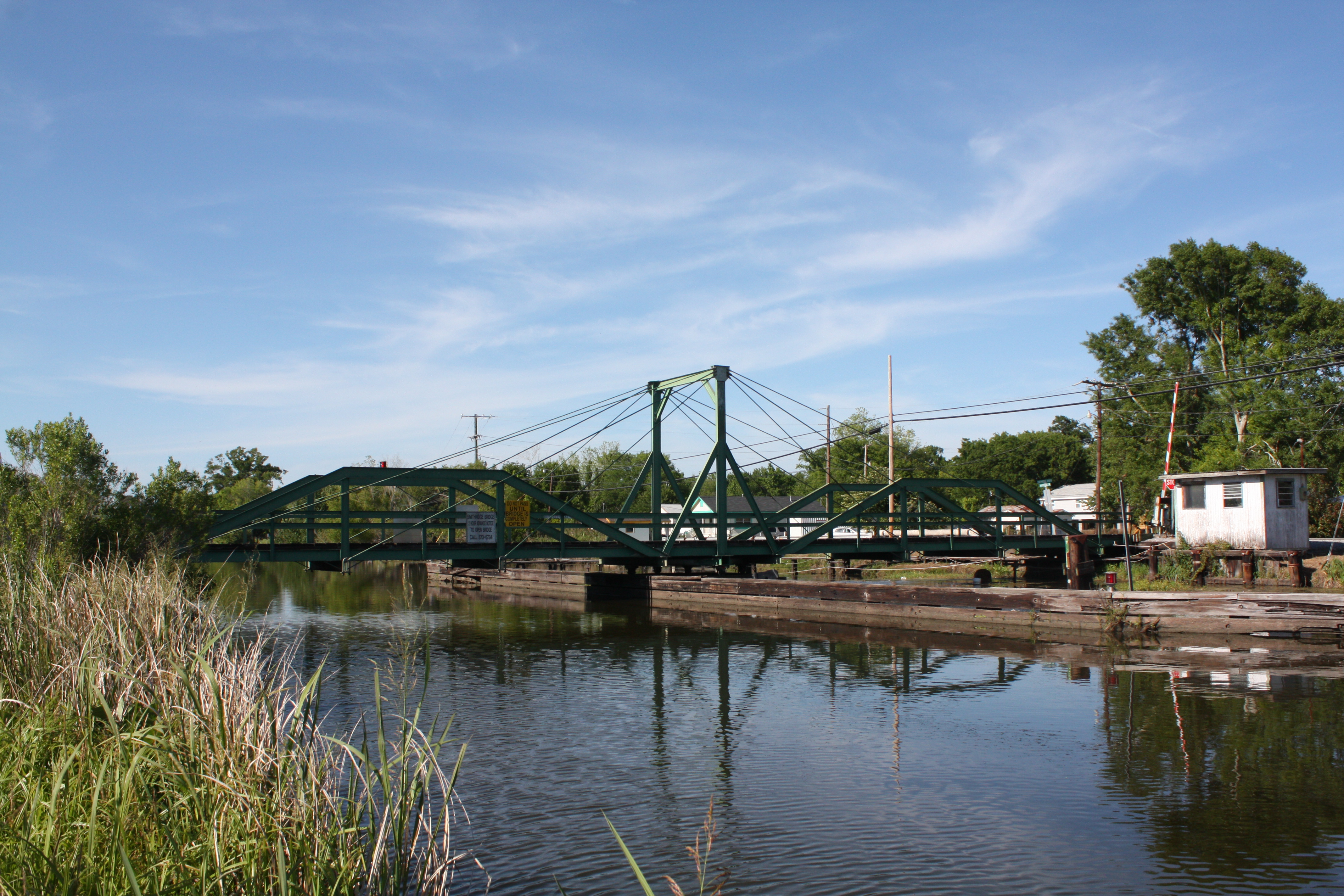
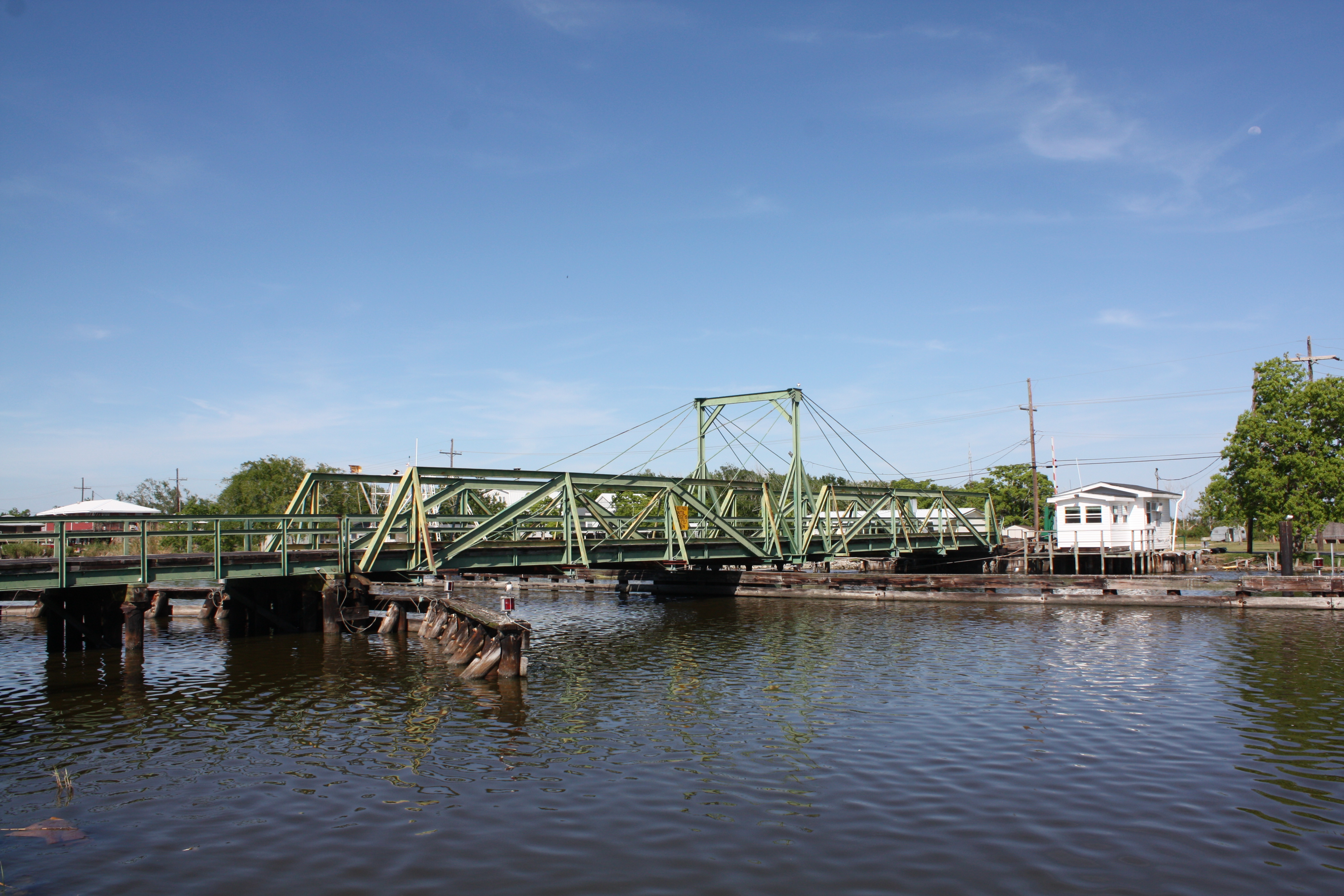
Smithridge Bridge
Valentine Bridge

Over and Out

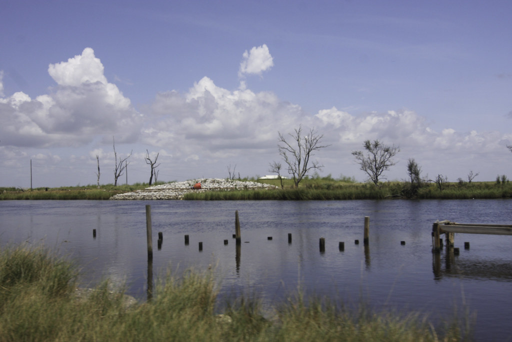
Bayou Little Caillou

IMG_0007-2
Topographic Map of LA-55, Montegut, LA, USA
Find elevation by address:

Places near LA-55, Montegut, LA, USA:
112 Roland Henry St
Montegut
9, LA, USA
123 Ellen Ln
5057 Bayouside Dr
4974 La-56
854 La-55
211 Hebert Ln
283 La-665
109 Prosperity St
109 Pellegrin St
166 Leve St
166 Leve St
4755 La-56
136 Jane St
Chauvin
5505 Bayouside Dr
4589 La-56
208 S Central Blvd
8, LA, USA
Recent Searches:
- Elevation of Estates Loop, Priest River, ID, USA
- Elevation of Woodland Oak Pl, Thousand Oaks, CA, USA
- Elevation of Brownsdale Rd, Renfrew, PA, USA
- Elevation of Corcoran Ln, Suffolk, VA, USA
- Elevation of Mamala II, Sariaya, Quezon, Philippines
- Elevation of Sarangdanda, Nepal
- Elevation of 7 Waterfall Way, Tomball, TX, USA
- Elevation of SW 57th Ave, Portland, OR, USA
- Elevation of Crocker Dr, Vacaville, CA, USA
- Elevation of Pu Ngaol Community Meeting Hall, HWHM+3X7, Krong Saen Monourom, Cambodia