Elevation of LA-1, Belle Rose, LA, USA
Location: United States > Louisiana > Assumption Parish > > Belle Rose >
Longitude: -91.051194
Latitude: 30.0280436
Elevation: 7m / 23feet
Barometric Pressure: 101KPa
Elevation Map:
Satellite Map:
Related Photos:

Houmas House
lean-photo-enforcement-flight-9-17-14-0234
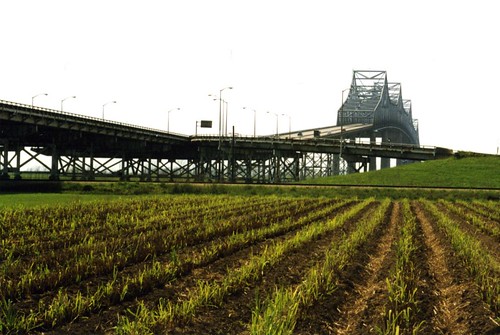
Sunshine Bridge, Donaldsonville & Sorrento, Louisiana
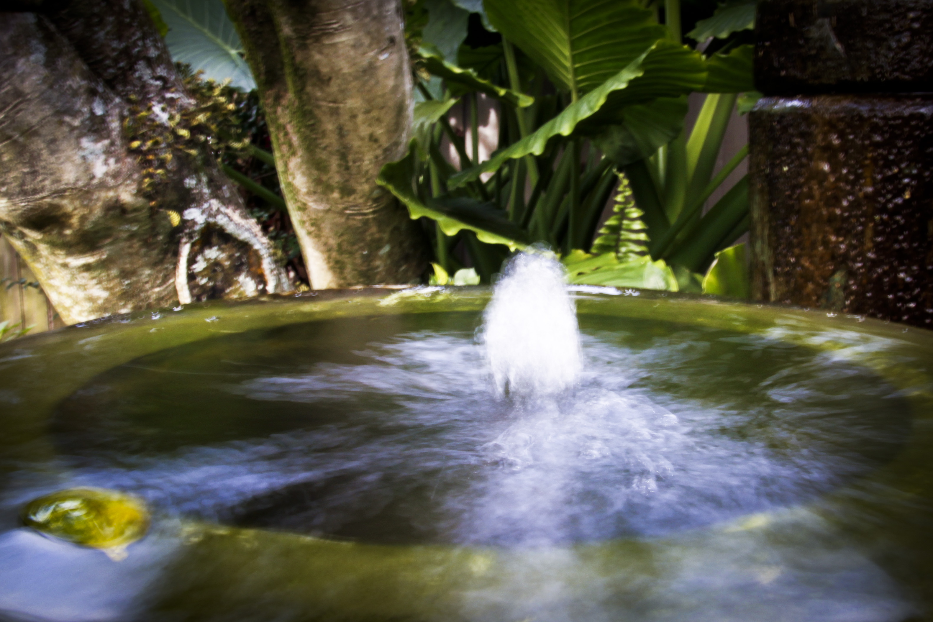
Water fountain in slow motion

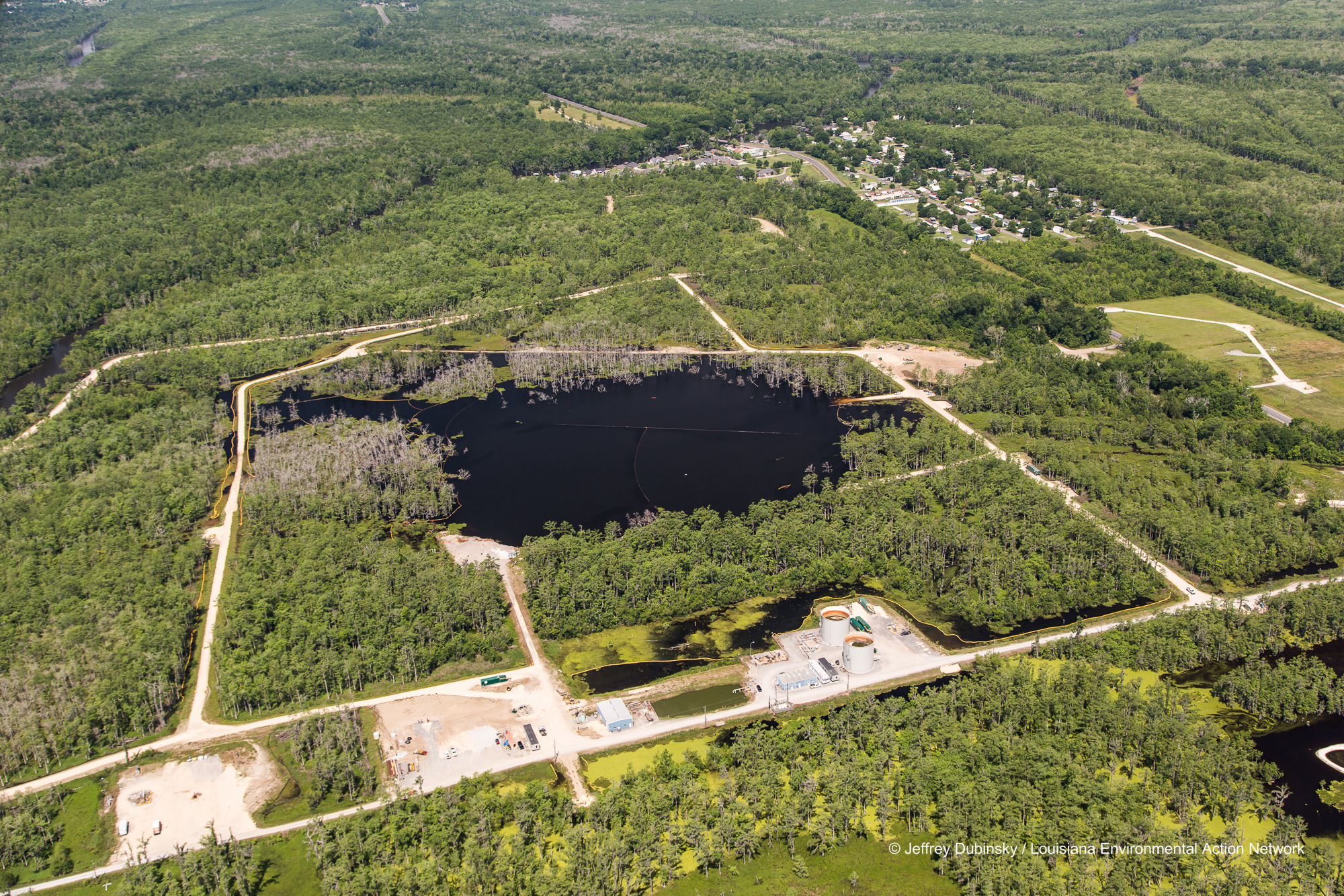
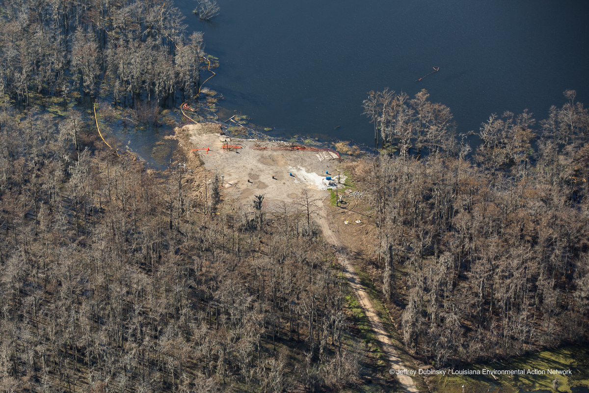
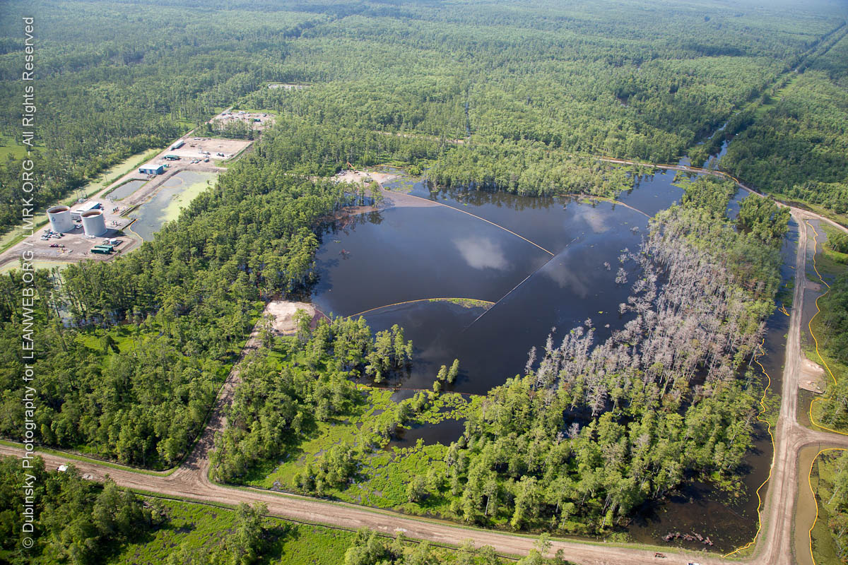
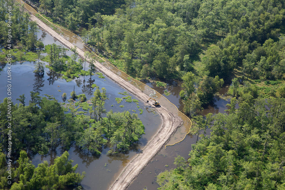
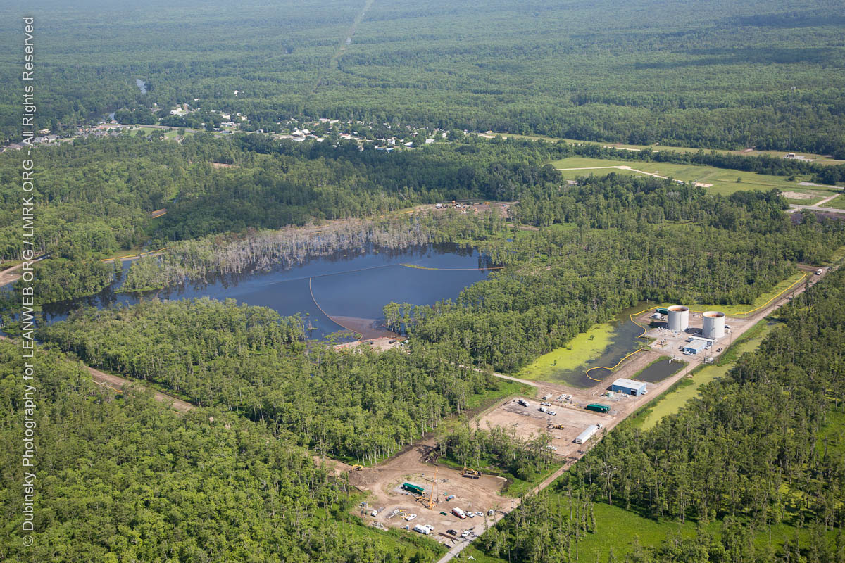
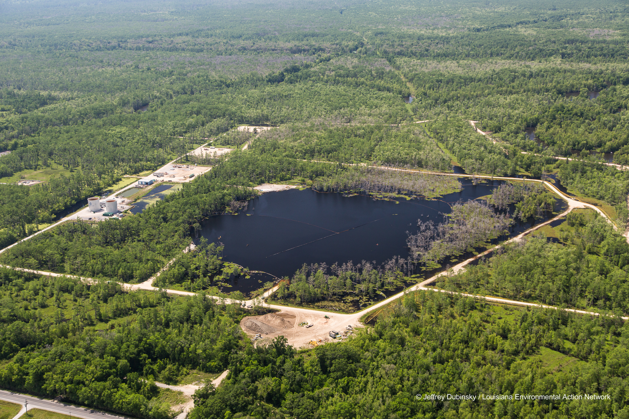
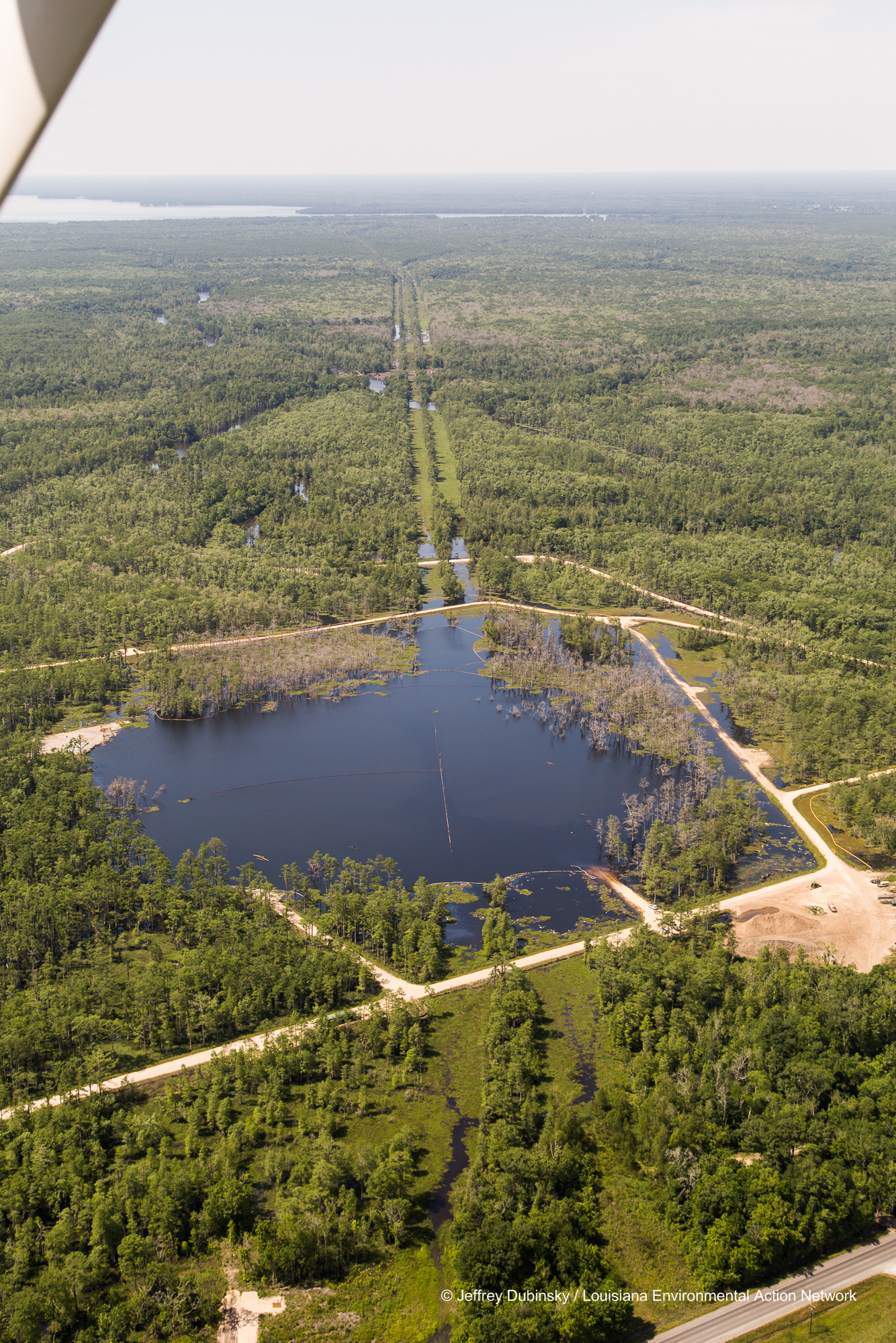
Bayou Corne Sinkhole
lean-flight-11-19-2015-8055

lmrk-lean-flight--flickr-5-2-14-0030
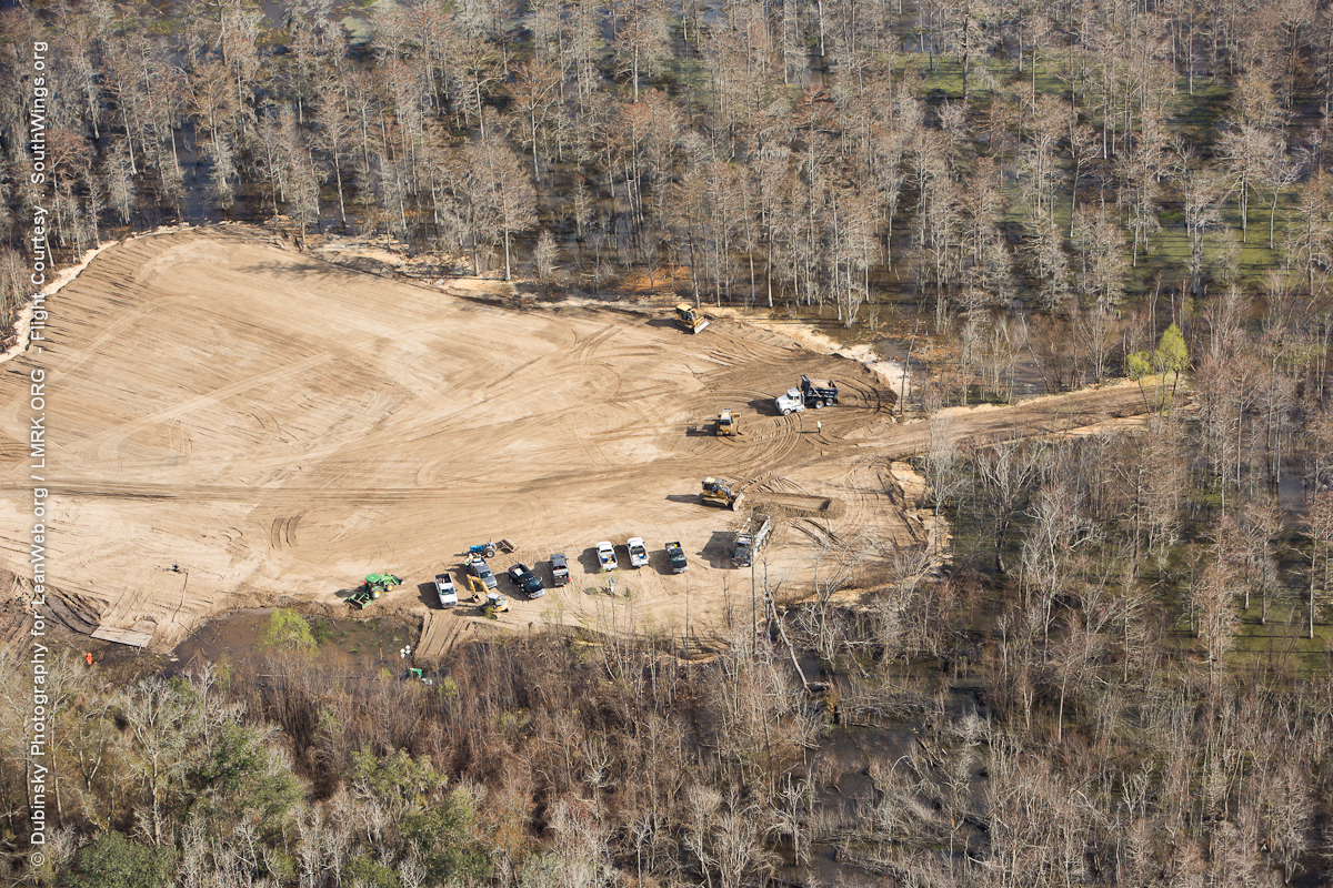
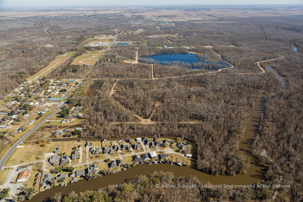
New Pad - Bayou Corne Sinkhole
dubinsky-photogrpahy-lean-lmrk-coal-recon-2-13-2014-0069
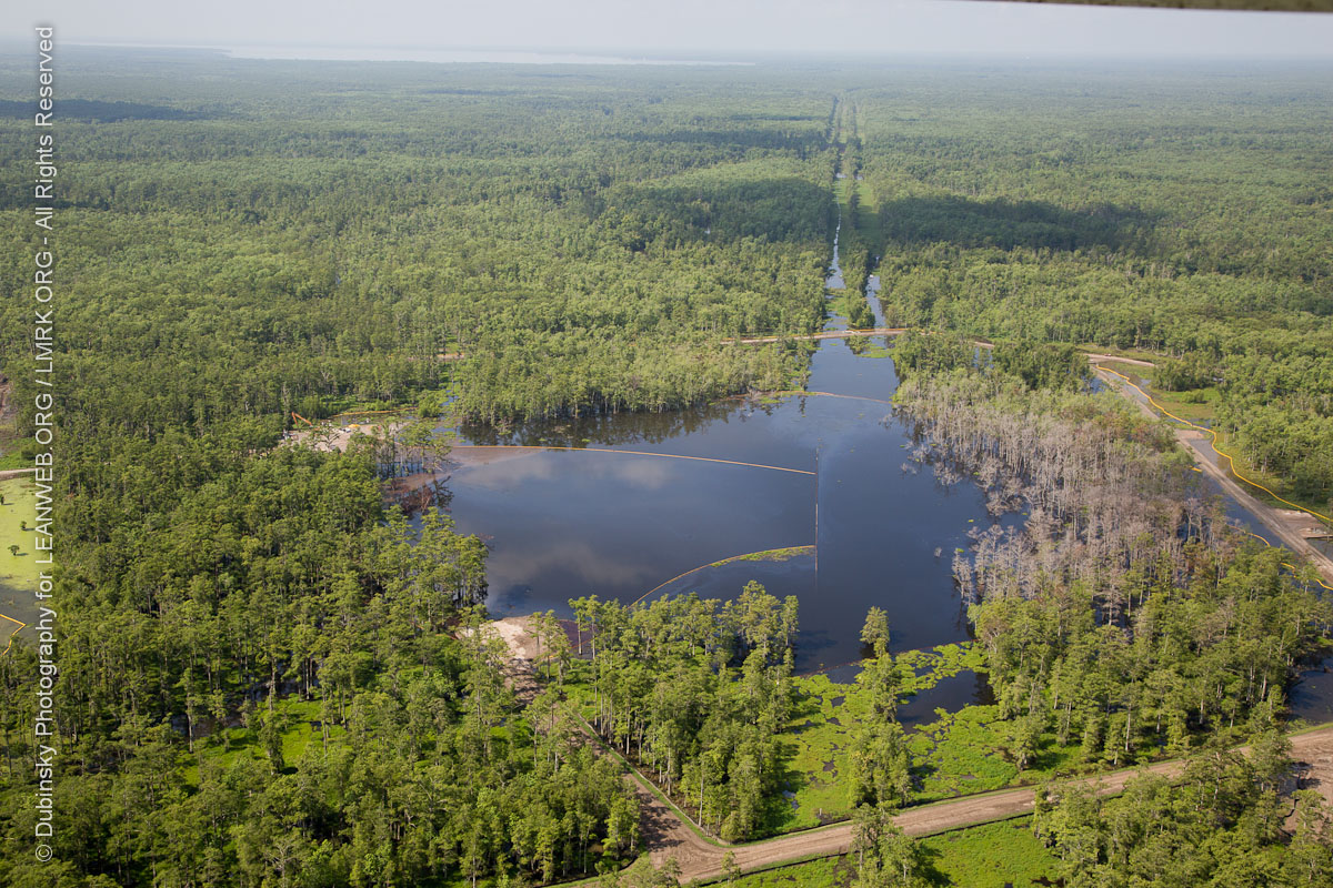
Bayou Corne Sinkhole Aerial Images 6-21-13LEAN049500009606211306212013
lean-flight-11-19-2015-8078
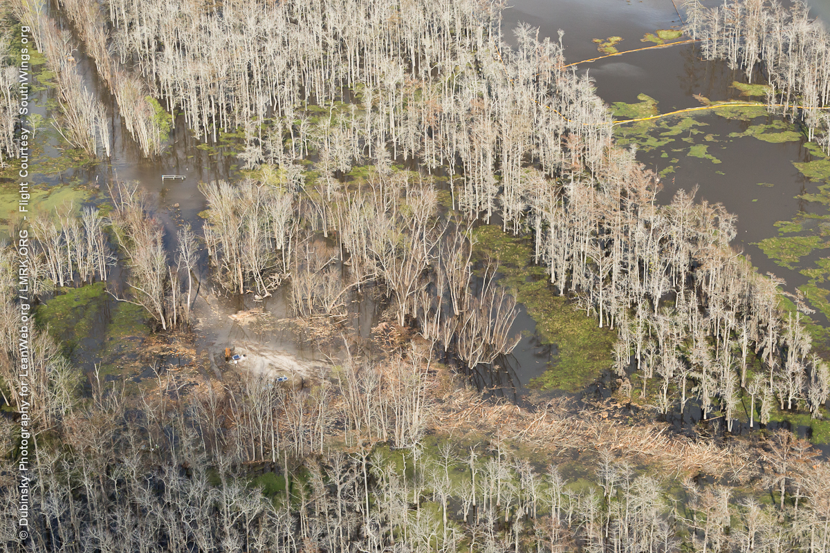
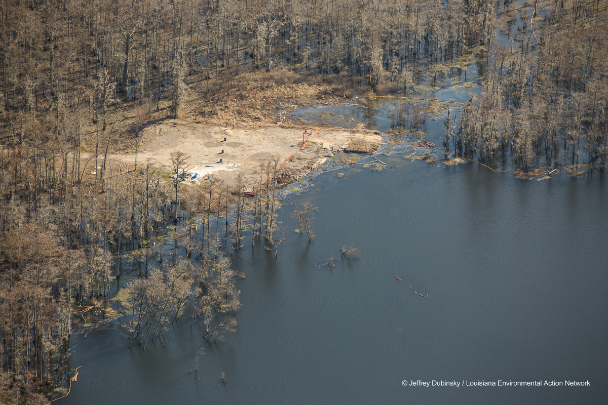
Bayou Corne Sinkhole
lmrk-lean-flight--flickr-5-2-14-0022
dubinsky-photogrpahy-lean-lmrk-coal-recon-2-13-2014-0082
Bayou Corne Sinkhole Aerial Images 6-21-13LEAN045400005506211306212013
Bayou Corne Sinkhole Aerial Images 6-21-13LEAN053000012906211306212013

Bayou Corne Sinkhole Aerial Images 6-21-13LEAN052900012806211306212013
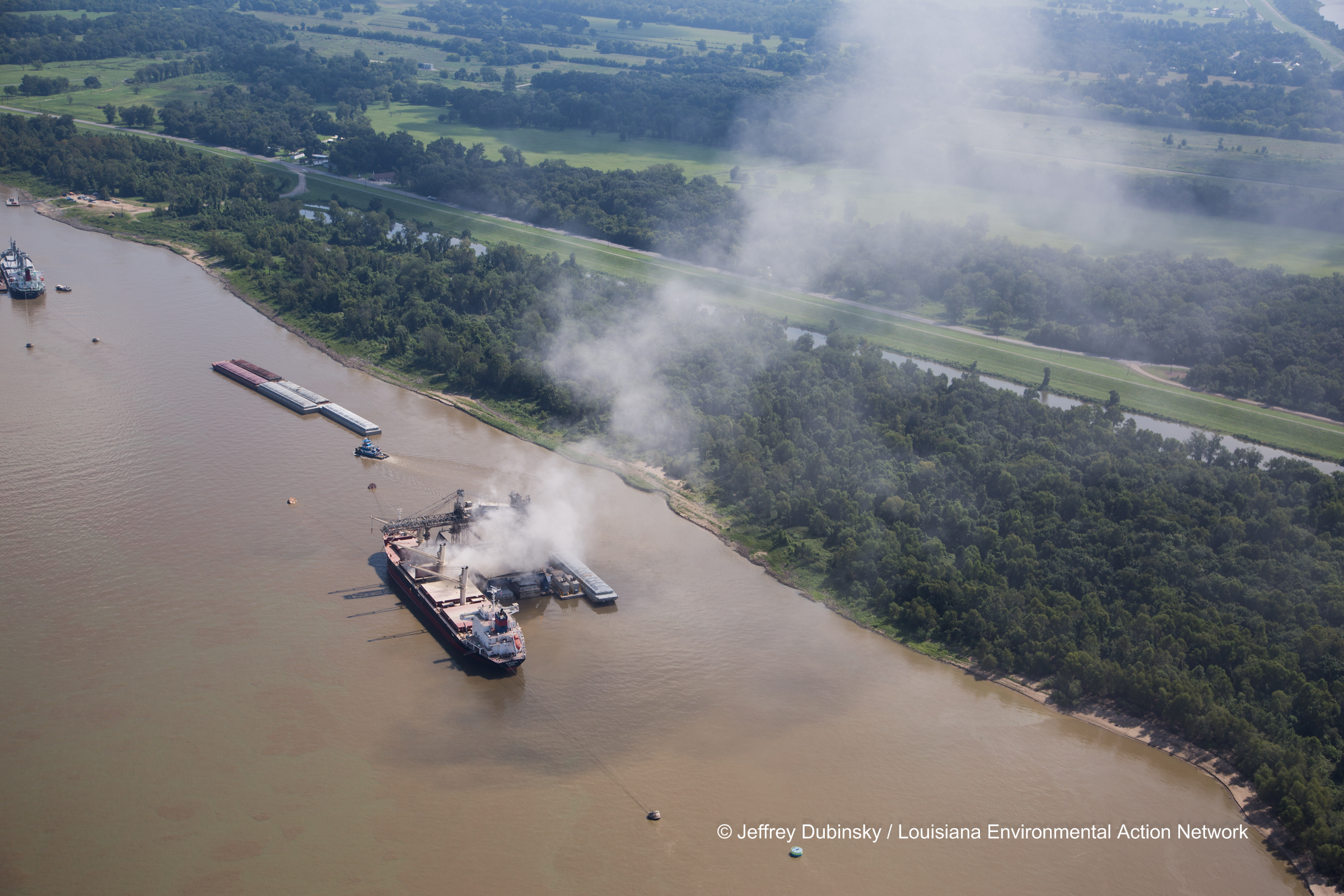
Bayou Corne Sinkhole and Community Aerial Images 6-21-13LEAN043400003506211306212013
lmrk-lean-flight--flickr-5-2-14-0037
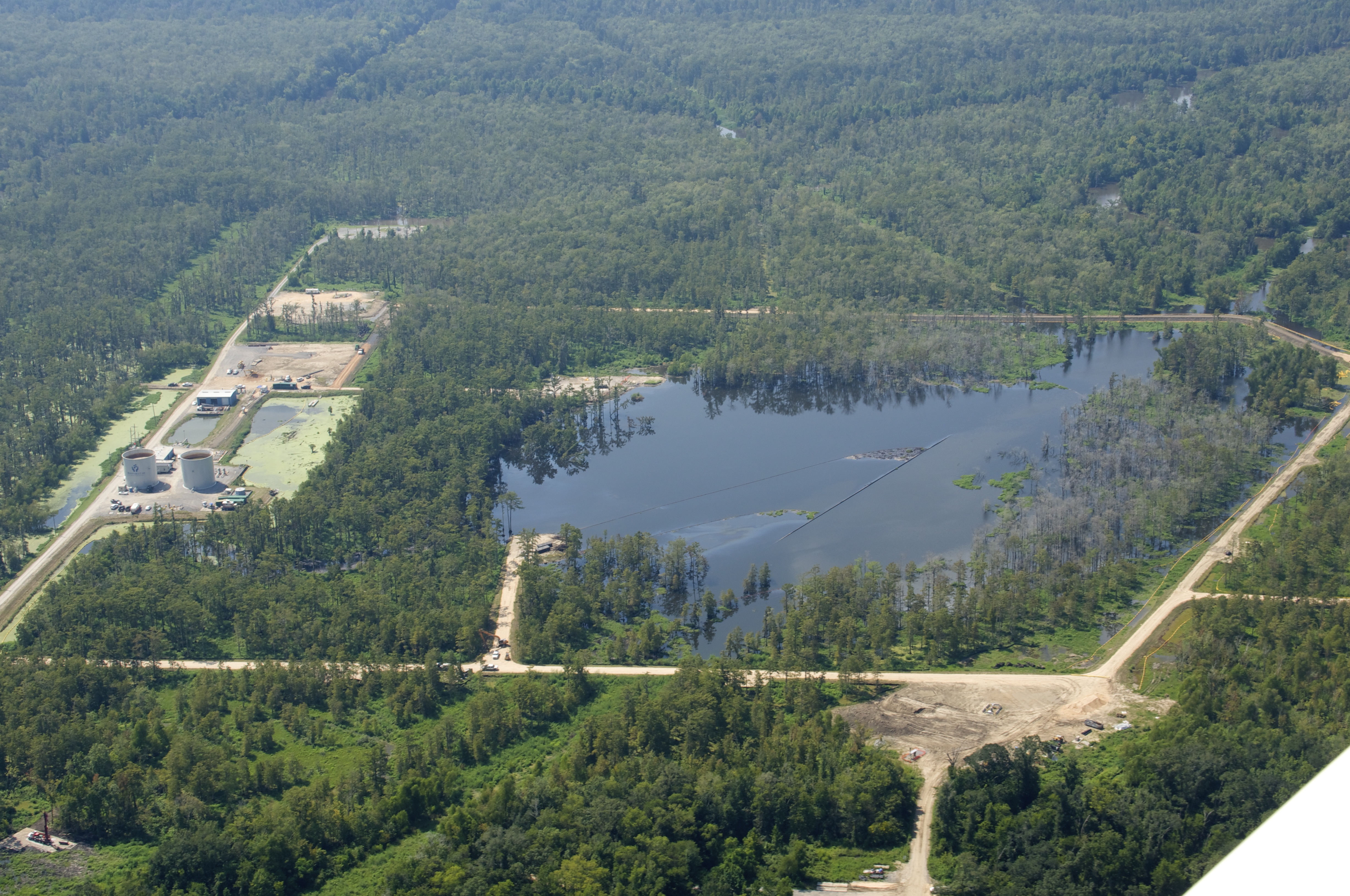
Bayou Corne Sinkhole
lmrk-lean-flight--flickr-5-2-14-0039
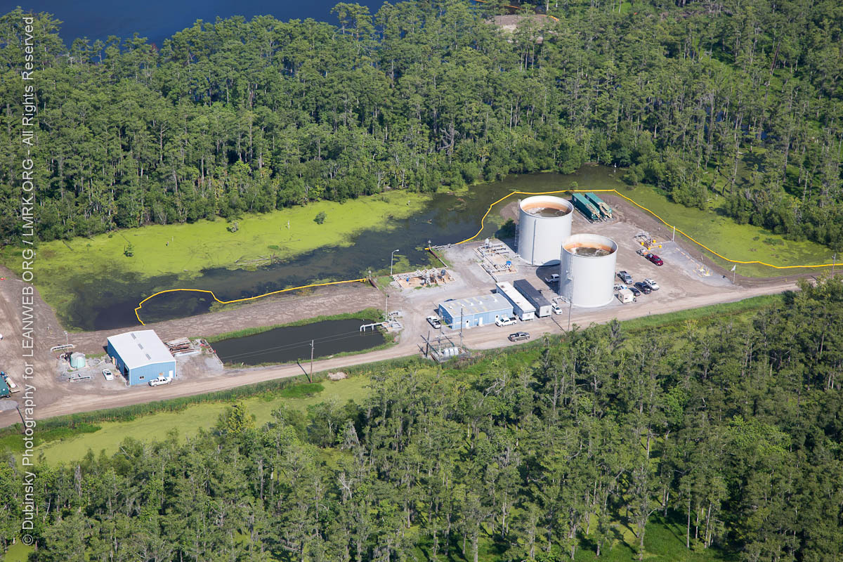
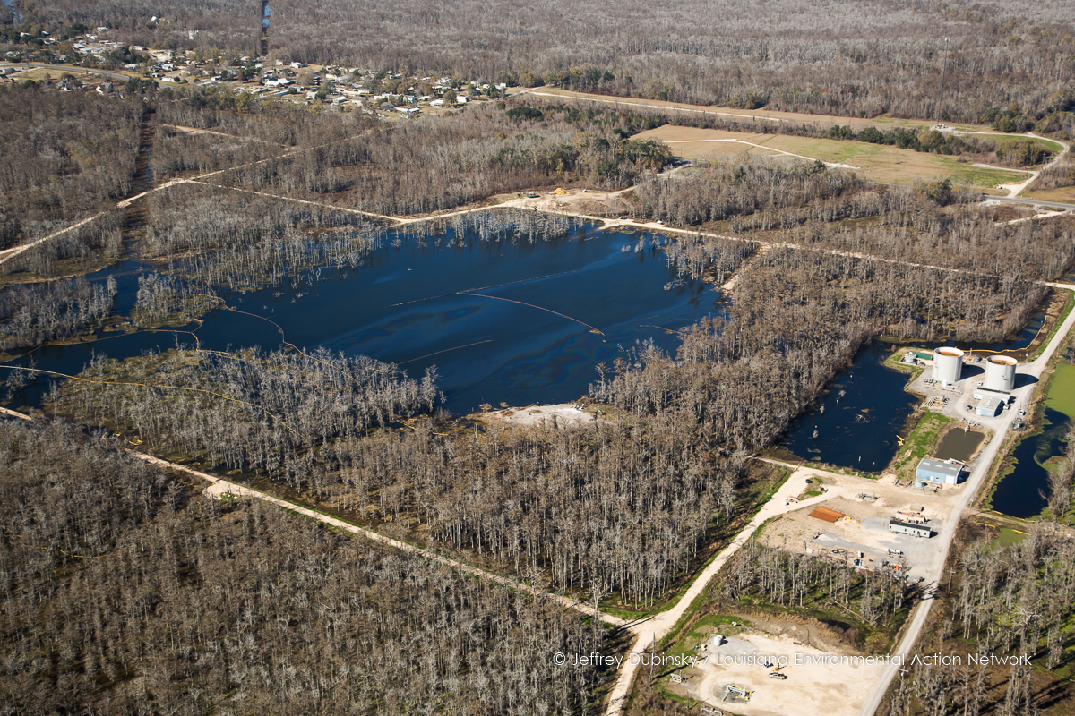
Bayou Corne Sinkhole Aerial Images Brine Tanks 6-21-13LEAN043200003306211306212013
Topographic Map of LA-1, Belle Rose, LA, USA
Find elevation by address:

Places near LA-1, Belle Rose, LA, USA:
Louisiana 1
Belle Rose
185 Ideal St
5935 La-308
5541 La-1
1, LA, USA
LA-, Napoleonville, LA, USA
LA-, Napoleonville, LA, USA
Napoleonville
8103 Mt Calvary St
5, LA, USA
2, LA, USA
Communi St, St James, LA, USA
LA-18, St James, LA, USA
St James Co-Op St, St James, LA, USA
7650 La-44
Convent
Saint James
Trudeau Street
St. James Parish
Recent Searches:
- Elevation of Jalan Senandin, Lutong, Miri, Sarawak, Malaysia
- Elevation of Bilohirs'k
- Elevation of 30 Oak Lawn Dr, Barkhamsted, CT, USA
- Elevation of Luther Road, Luther Rd, Auburn, CA, USA
- Elevation of Unnamed Road, Respublika Severnaya Osetiya — Alaniya, Russia
- Elevation of Verkhny Fiagdon, North Ossetia–Alania Republic, Russia
- Elevation of F. Viola Hiway, San Rafael, Bulacan, Philippines
- Elevation of Herbage Dr, Gulfport, MS, USA
- Elevation of Lilac Cir, Haldimand, ON N3W 2G9, Canada
- Elevation of Harrod Branch Road, Harrod Branch Rd, Kentucky, USA