Elevation of KY-, Mallie, KY, USA
Location: United States > Kentucky > Knott County > Mallie >
Longitude: -82.912239
Latitude: 37.2585442
Elevation: 328m / 1076feet
Barometric Pressure: 97KPa
Elevation Map:
Satellite Map:
Related Photos:
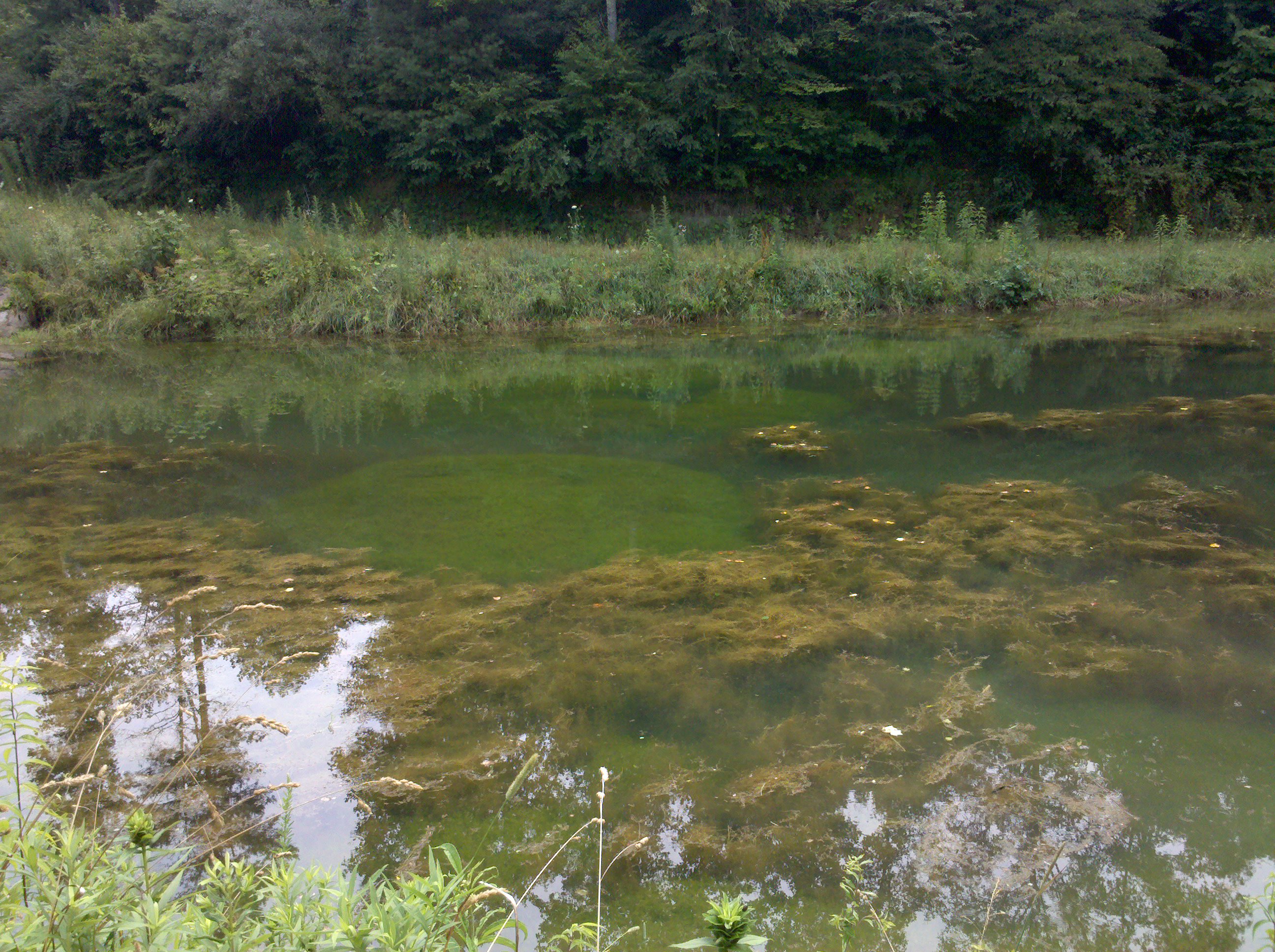
2012-07-01 11.40.31

Mill Creek Community Meeting

Hindman, Kentucky United Methodist Women Opening Umbrellas to intercept human traffickers.

104-0418_STA
Topographic Map of KY-, Mallie, KY, USA
Find elevation by address:

Places near KY-, Mallie, KY, USA:
Burgeys Creek Rd, Mallie, KY, USA
46-48
Wolfpen Creek Rd, Redfox, KY, USA
Redfox
KY-15, Redfox, KY, USA
KY-7, Whitesburg, KY, USA
53 State Hwy, Whitesburg, KY, USA
State Hwy, Isom, KY, USA
Isom
KY-7, Jeremiah, KY, USA
Jeremiah
State Hwy, Isom, KY, USA
State Highway 1811
Foggy Valley
Premium
Thornton Rd, Thornton, KY, USA
Hickory Rd, Premium, KY, USA
Letcher County
Whitco Loop, Whitesburg, KY, USA
Crafts Colley Rd, Ermine, KY, USA
Recent Searches:
- Elevation of Bella Terra Blvd, Estero, FL, USA
- Elevation of Estates Loop, Priest River, ID, USA
- Elevation of Woodland Oak Pl, Thousand Oaks, CA, USA
- Elevation of Brownsdale Rd, Renfrew, PA, USA
- Elevation of Corcoran Ln, Suffolk, VA, USA
- Elevation of Mamala II, Sariaya, Quezon, Philippines
- Elevation of Sarangdanda, Nepal
- Elevation of 7 Waterfall Way, Tomball, TX, USA
- Elevation of SW 57th Ave, Portland, OR, USA
- Elevation of Crocker Dr, Vacaville, CA, USA