Elevation of KY-, Flat Lick, KY, USA
Location: United States > Kentucky > Knox County > Bimble >
Longitude: -83.829576
Latitude: 36.8748654
Elevation: 309m / 1014feet
Barometric Pressure: 98KPa
Elevation Map:
Satellite Map:
Related Photos:

The View

The Chain Of "Chain Rock" (Pineville, KY) III
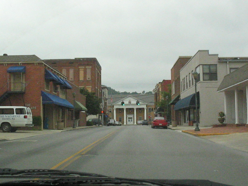
The Knox County courthouse comes into view

cut view feb 22 2007
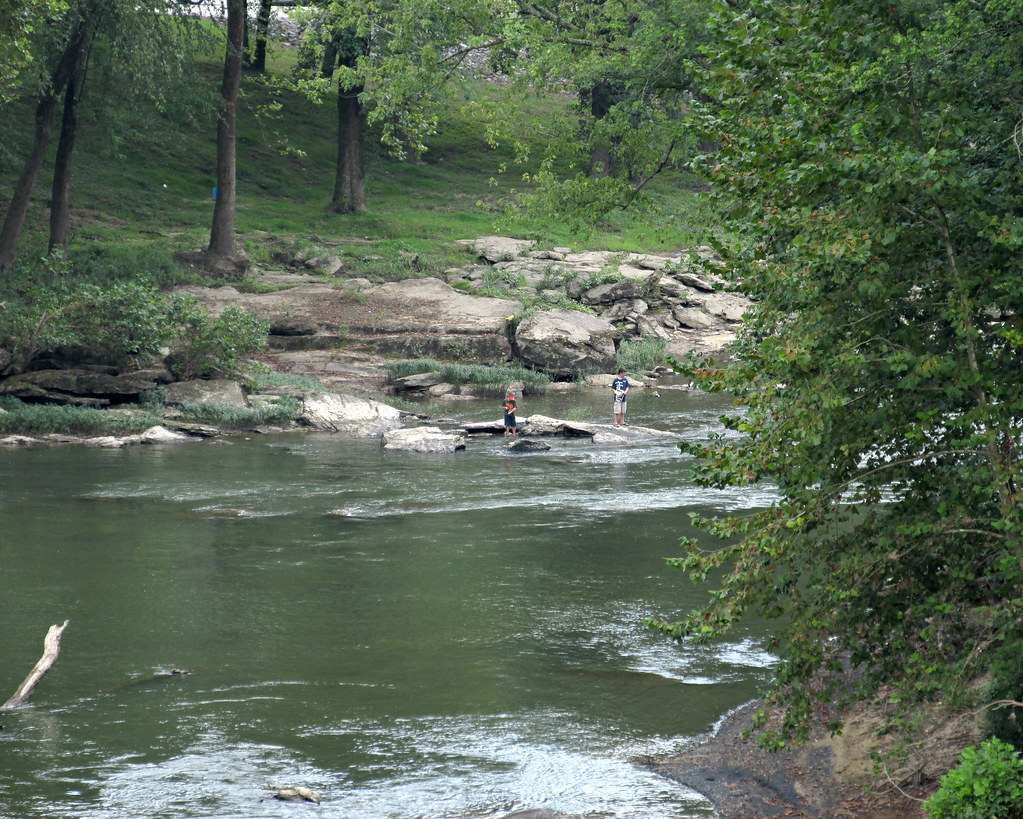
Kids off in the distance wading in the river
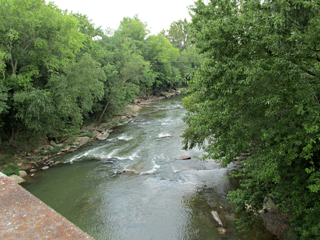
Down on the Cumberland River
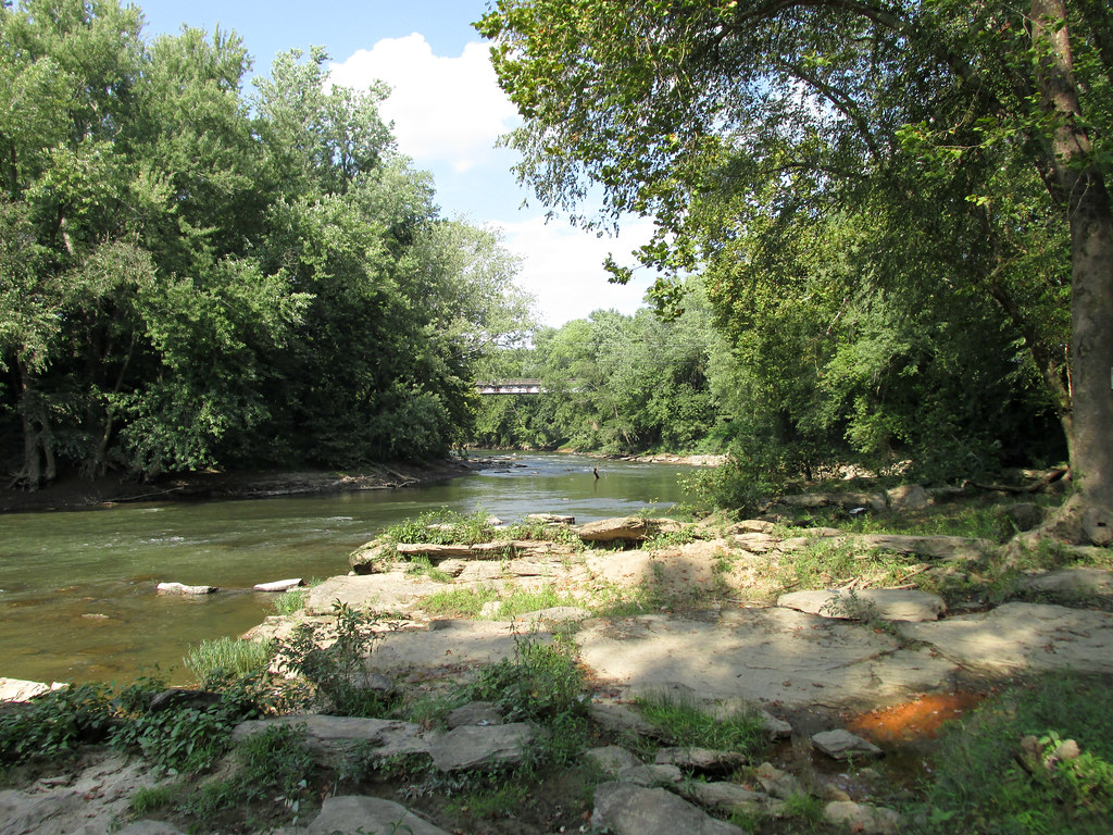
Cumberland River

A few of 2014 iPhone pix
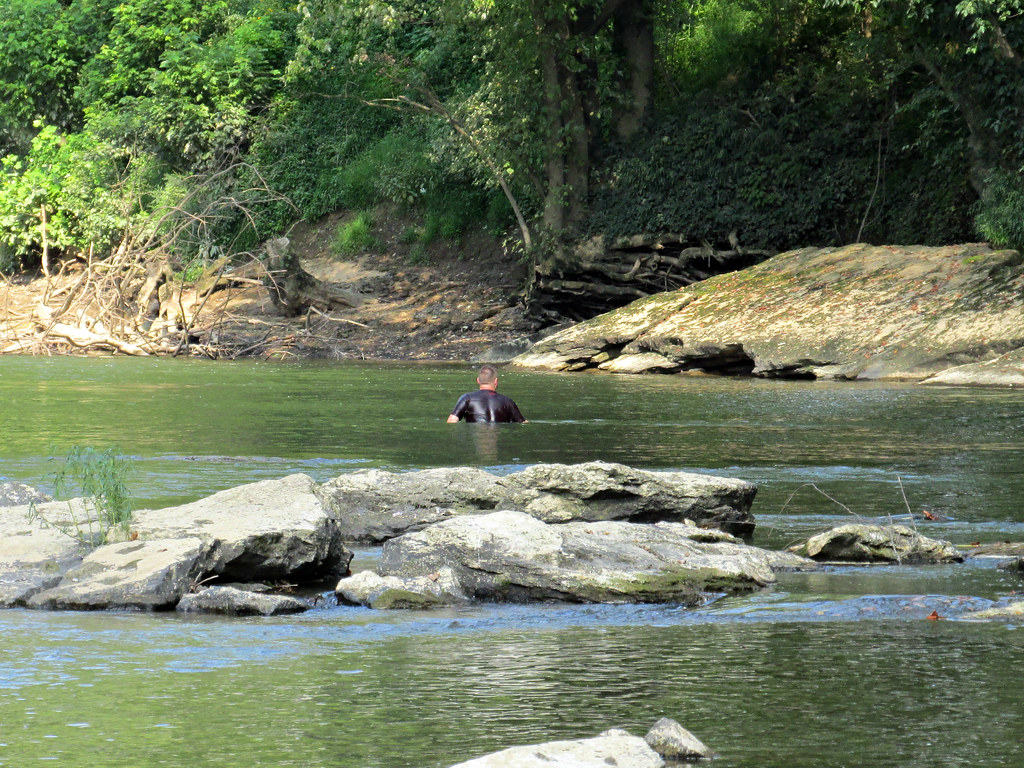
There are some deeper spots in the river
Topographic Map of KY-, Flat Lick, KY, USA
Find elevation by address:

Places near KY-, Flat Lick, KY, USA:
Bimble
228 Baker Rd
701 Trace Branch Rd
US-25E, Barbourville, KY, USA
Artemus
Old Farm Rd, Cannon, KY, USA
Heidrick
KY-11, Heidrick, KY, USA
High Street
Court Square, Barbourville, KY, USA
Barbourville
515 Manchester St
100 Beech St
School Street
Kayjay, KY, USA
82 Bays Ln
Flat Lick
State Hwy, Flat Lick, KY, USA
Lick Branch Road
4654 Stinking Creek Rd
Recent Searches:
- Elevation of Rojo Ct, Atascadero, CA, USA
- Elevation of Flagstaff Drive, Flagstaff Dr, North Carolina, USA
- Elevation of Avery Ln, Lakeland, FL, USA
- Elevation of Woolwine, VA, USA
- Elevation of Lumagwas Diversified Farmers Multi-Purpose Cooperative, Lumagwas, Adtuyon, RV32+MH7, Pangantucan, Bukidnon, Philippines
- Elevation of Homestead Ridge, New Braunfels, TX, USA
- Elevation of Orchard Road, Orchard Rd, Marlborough, NY, USA
- Elevation of 12 Hutchinson Woods Dr, Fletcher, NC, USA
- Elevation of Holloway Ave, San Francisco, CA, USA
- Elevation of Norfolk, NY, USA