Elevation of KY-, Falls of Rough, KY, USA
Location: United States > Kentucky > Grayson County > Falls Of Rough >
Longitude: -86.577264
Latitude: 37.5369223
Elevation: 192m / 630feet
Barometric Pressure: 99KPa
Elevation Map:
Satellite Map:
Related Photos:
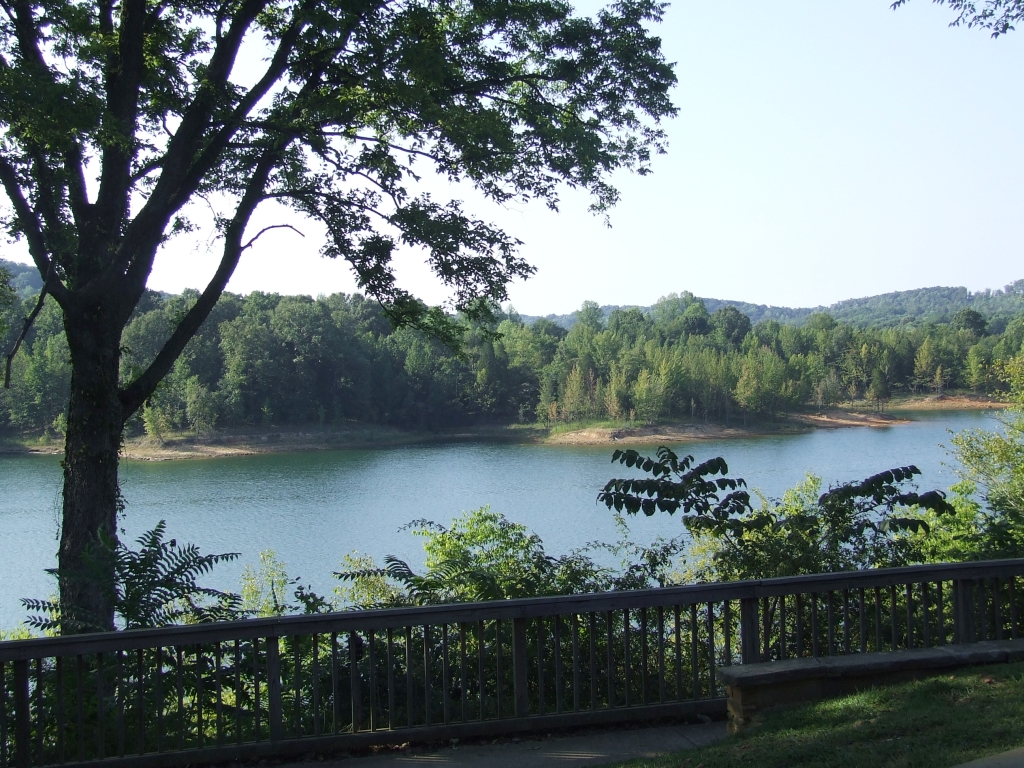
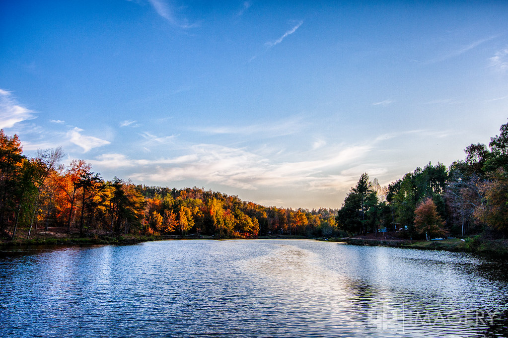
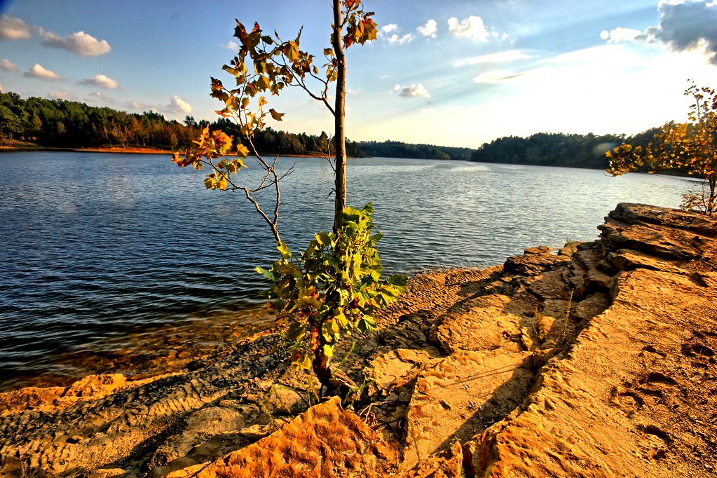
Lake View
Back Porch View

who is this ? ( Thiodina )

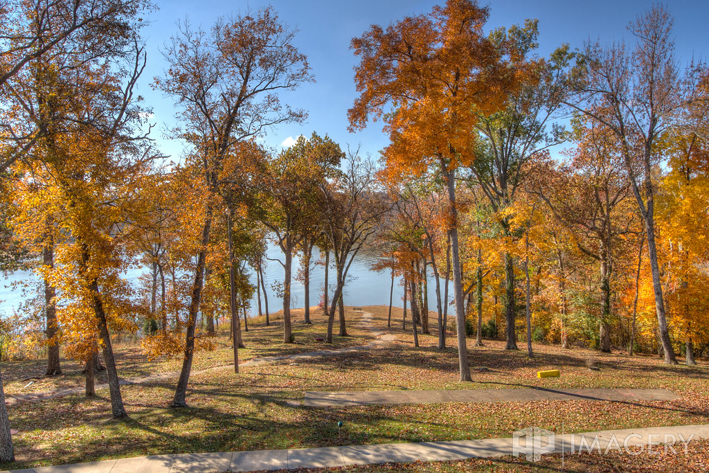
Pine Knob - The View
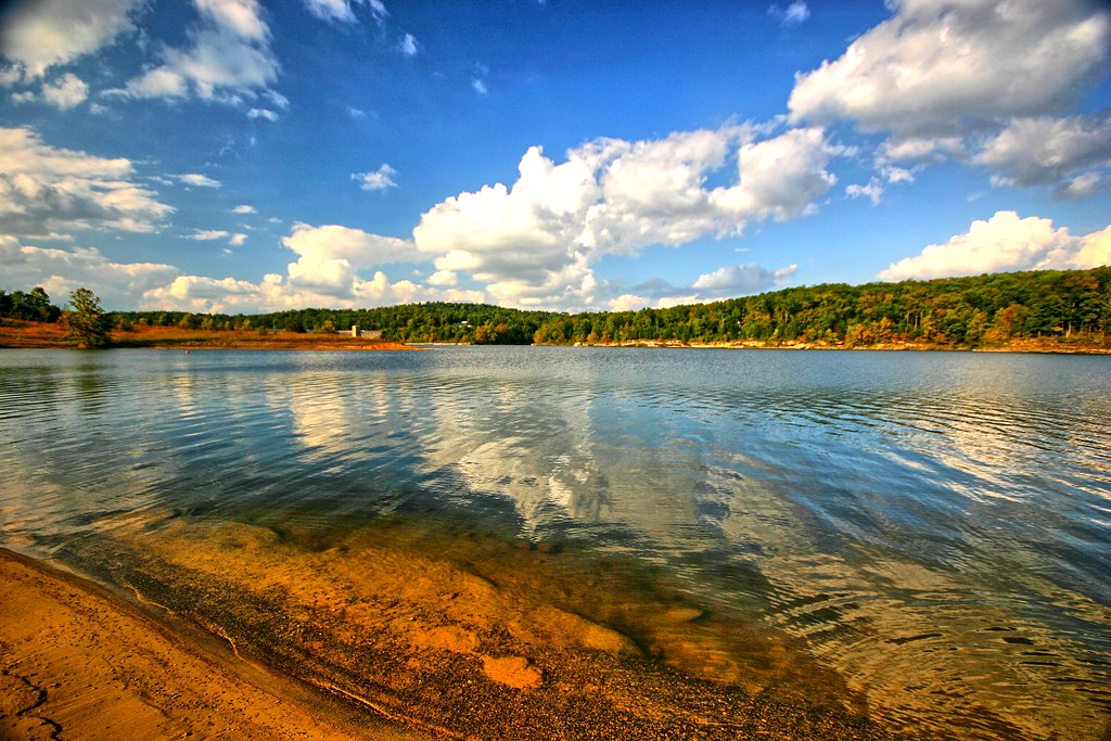
Water and clouds I
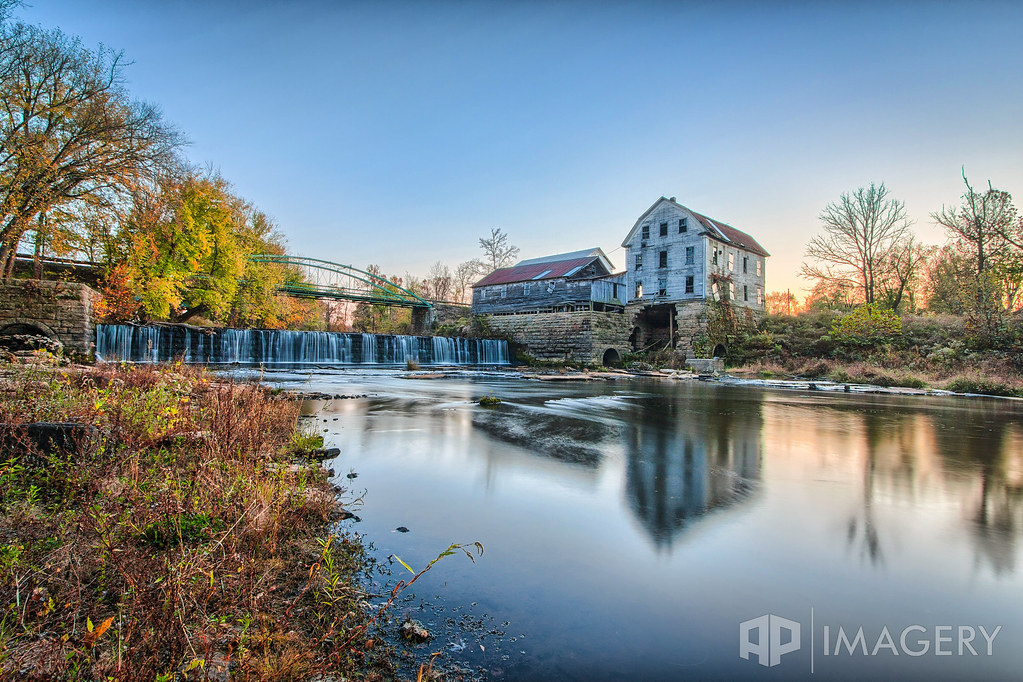
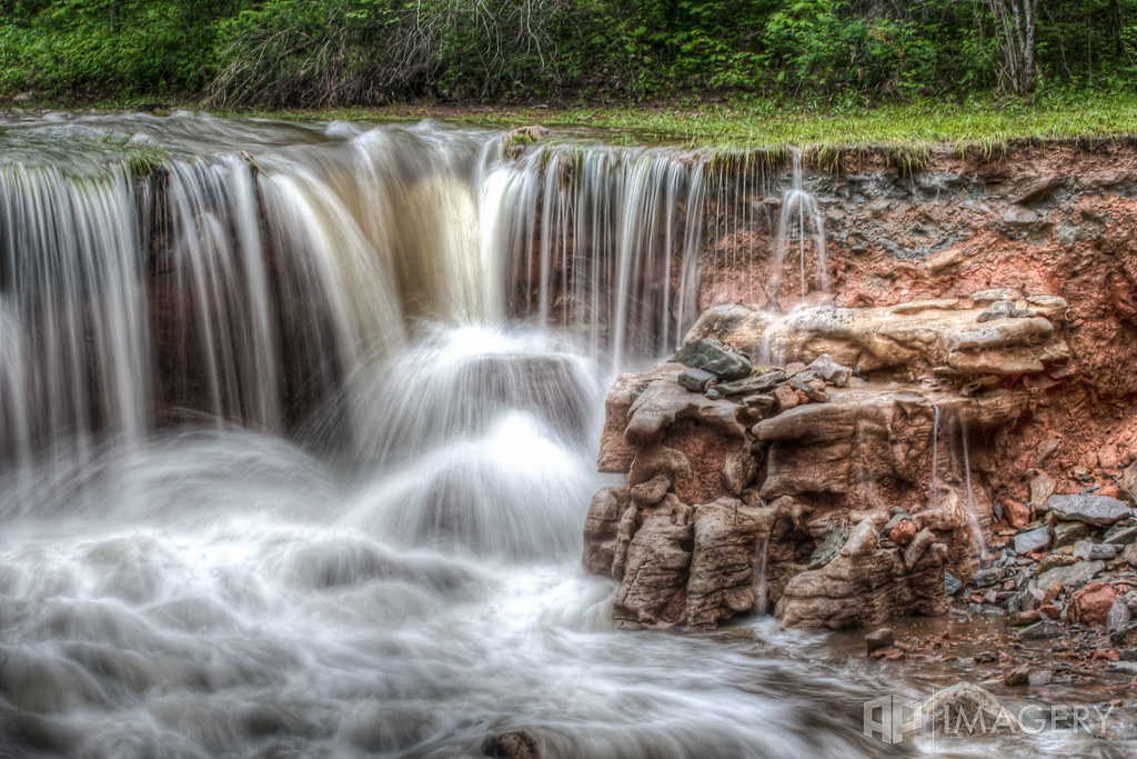
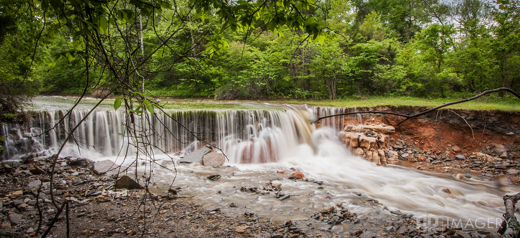
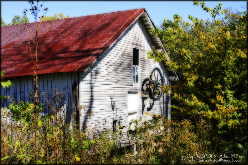
Falls of Rough - Mill
Pine Knob Lake
Rough River - 2011 Flood
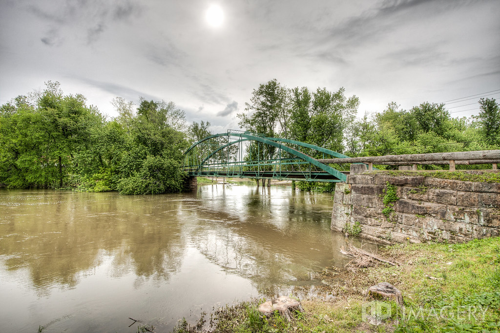
Falls of Rough - Bridge
Rock is the last bastion of stability
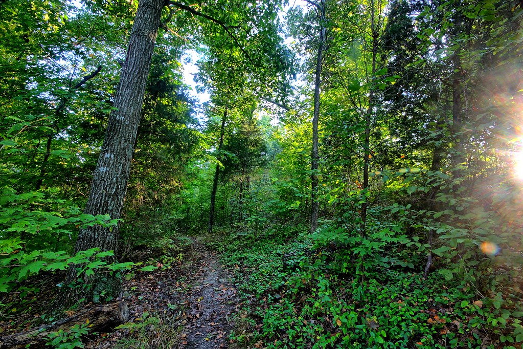
Magical forest
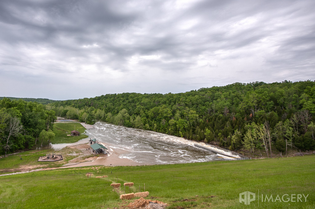
Rough River - 2011 Flood
Rough River - 2011 Flood

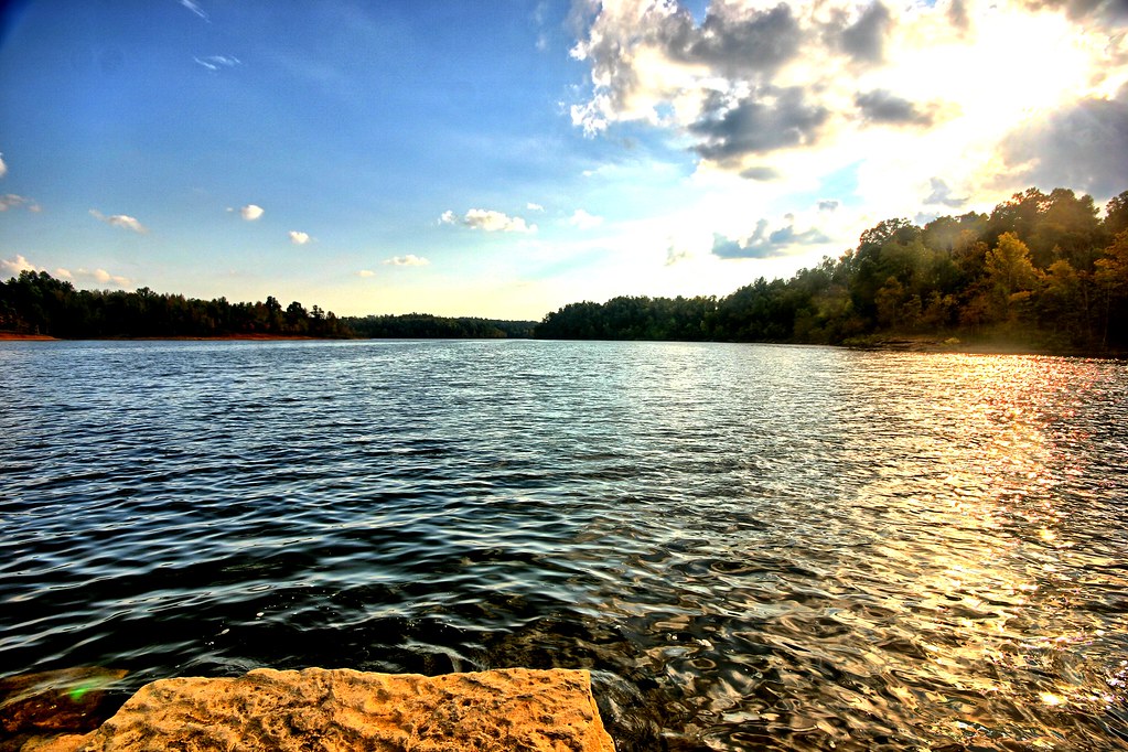
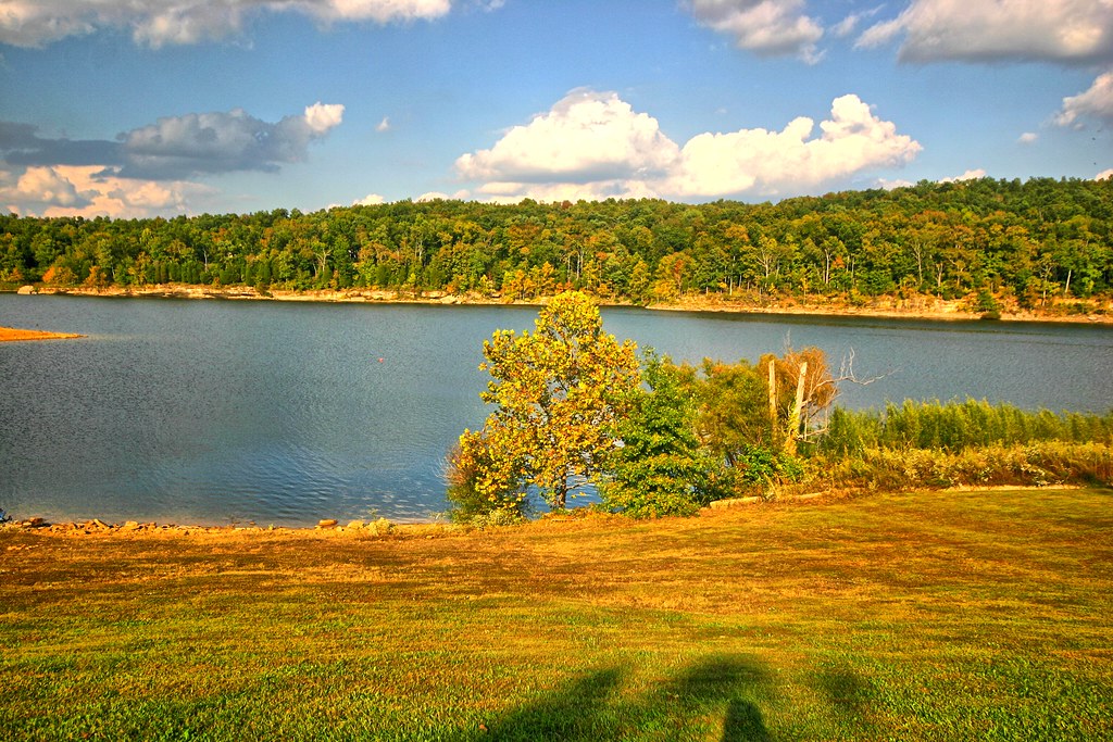
Late Afternoon at the Lake

Falls of Rough - Mill and Bridge
Close up of lone tree
Painting a scene

Gutter to separate the beach from the water

Falls of Rough Mill

Rough River - 2011 Flood

Rough River - 2011 Flood

beech on the beach
Greens Farm Mill
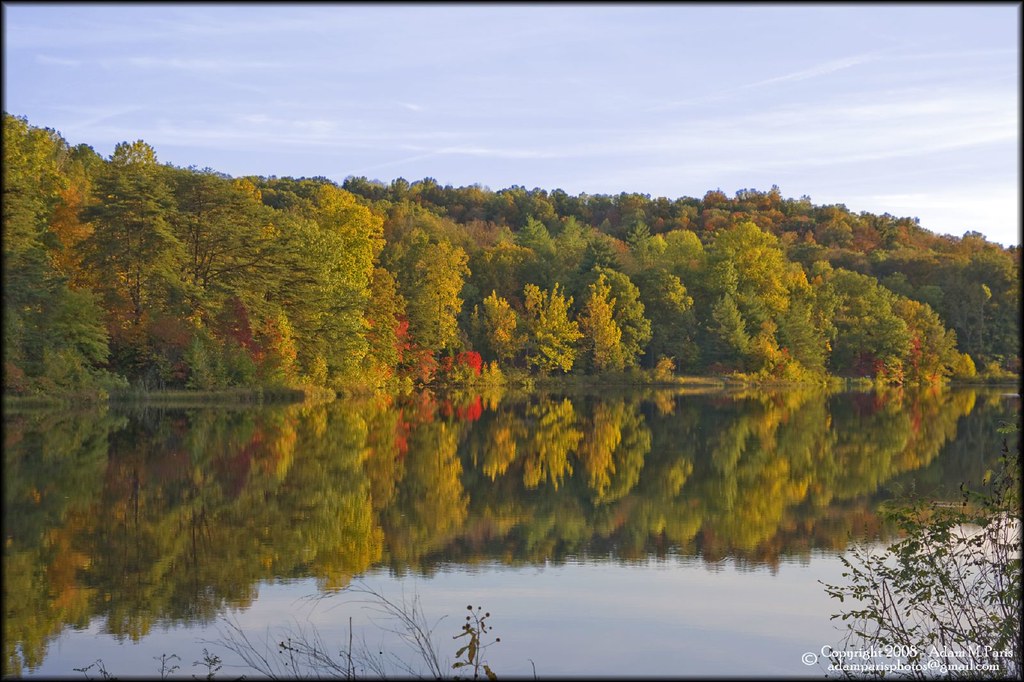
reflections at dusk
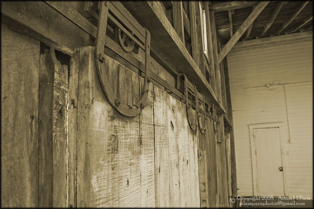
old sliding doors
Topographic Map of KY-, Falls of Rough, KY, USA
Find elevation by address:

Places near KY-, Falls of Rough, KY, USA:
Falls Of Rough
3799 Ky-110
129 Cedar Cove Rd
Circle Hill Rd, Vanzant, KY, USA
588 Circle Hill Rd
480 Circle Hill Rd
Olaton
1799 Walnut Grove Rd
Horse Branch
US-62, Horse Branch, KY, USA
Paulette Way
Elder Lane
2650 Salem Rd
Ed Wells Road
KY-54, Fordsville, KY, USA
741 Barretts Rd
Carwile Rd, Leitchfield, KY, USA
Fordsville
596 Crowe Ln
Dundee
Recent Searches:
- Elevation of Corso Fratelli Cairoli, 35, Macerata MC, Italy
- Elevation of Tallevast Rd, Sarasota, FL, USA
- Elevation of 4th St E, Sonoma, CA, USA
- Elevation of Black Hollow Rd, Pennsdale, PA, USA
- Elevation of Oakland Ave, Williamsport, PA, USA
- Elevation of Pedrógão Grande, Portugal
- Elevation of Klee Dr, Martinsburg, WV, USA
- Elevation of Via Roma, Pieranica CR, Italy
- Elevation of Tavkvetili Mountain, Georgia
- Elevation of Hartfords Bluff Cir, Mt Pleasant, SC, USA