Elevation of KY-, Clinton, KY, USA
Location: United States > Kentucky > Hickman County > Clinton >
Longitude: -89.059280
Latitude: 36.6722091
Elevation: 107m / 351feet
Barometric Pressure: 100KPa
Elevation Map:
Satellite Map:
Related Photos:
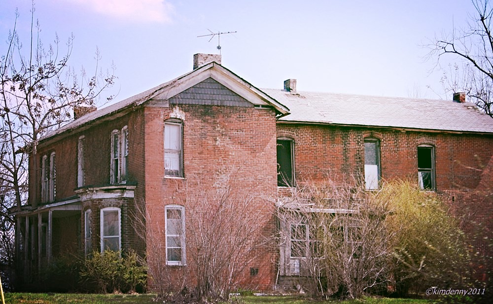
Abandoned home in Kentucky

Belmont 1257
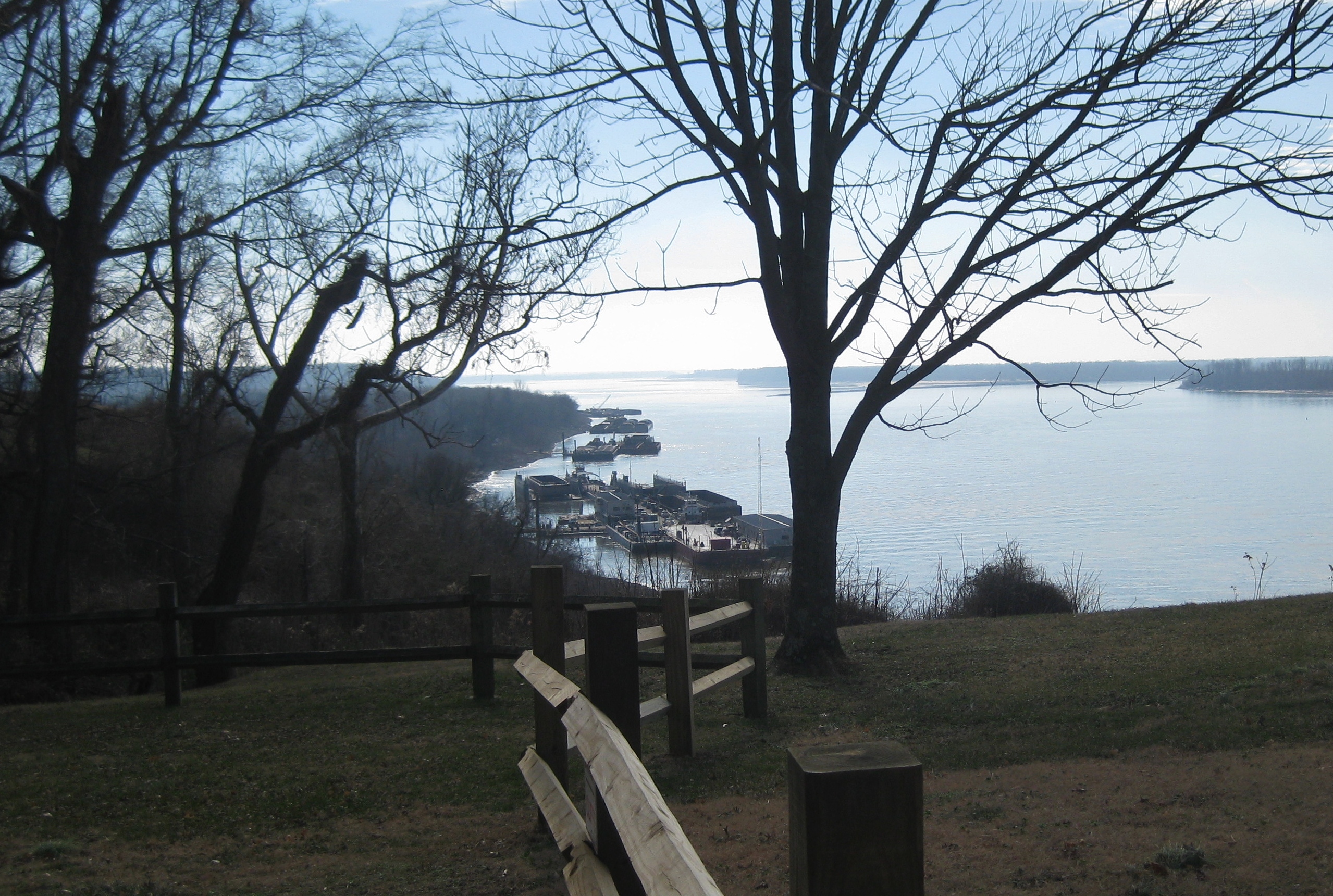
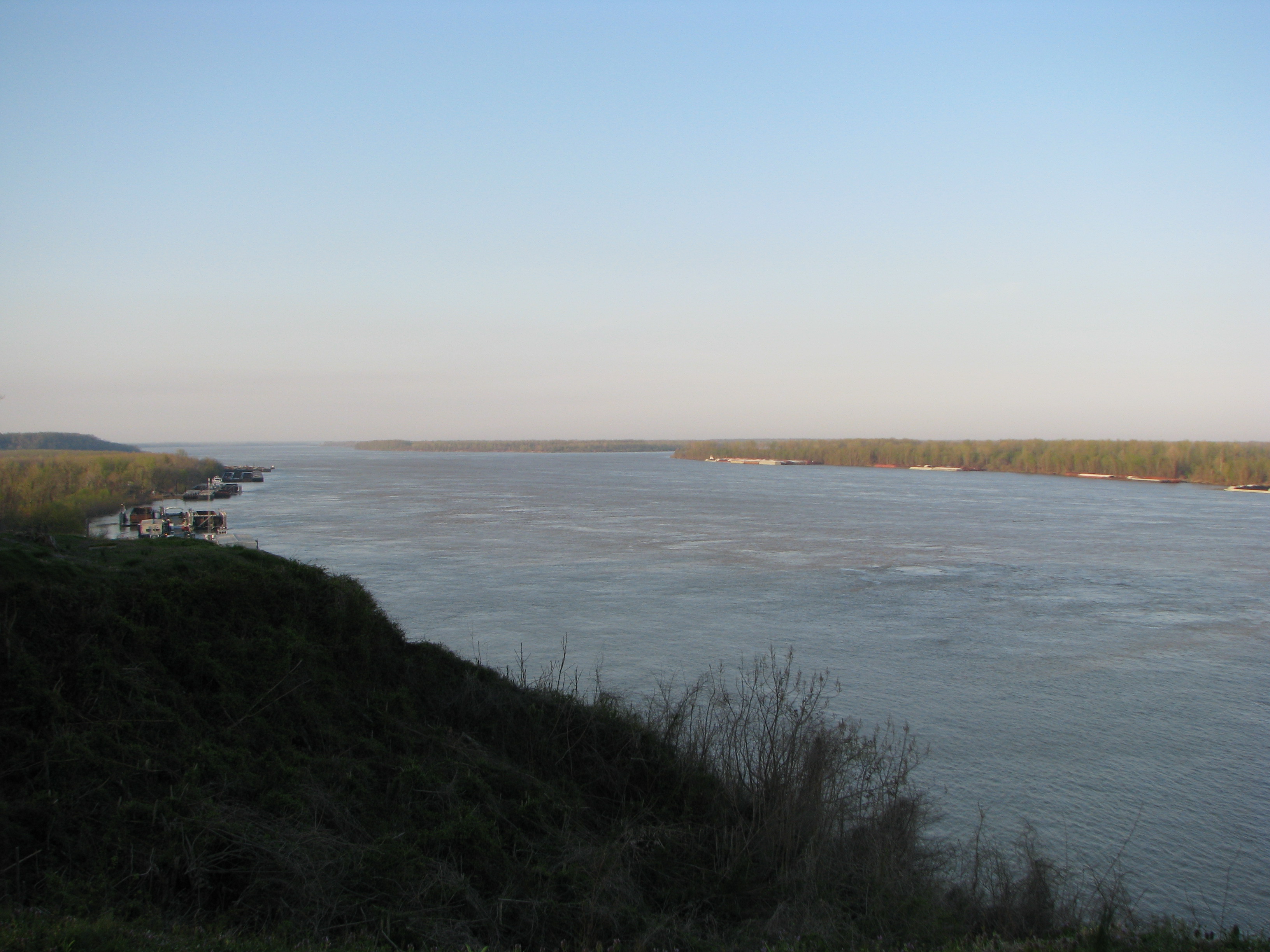
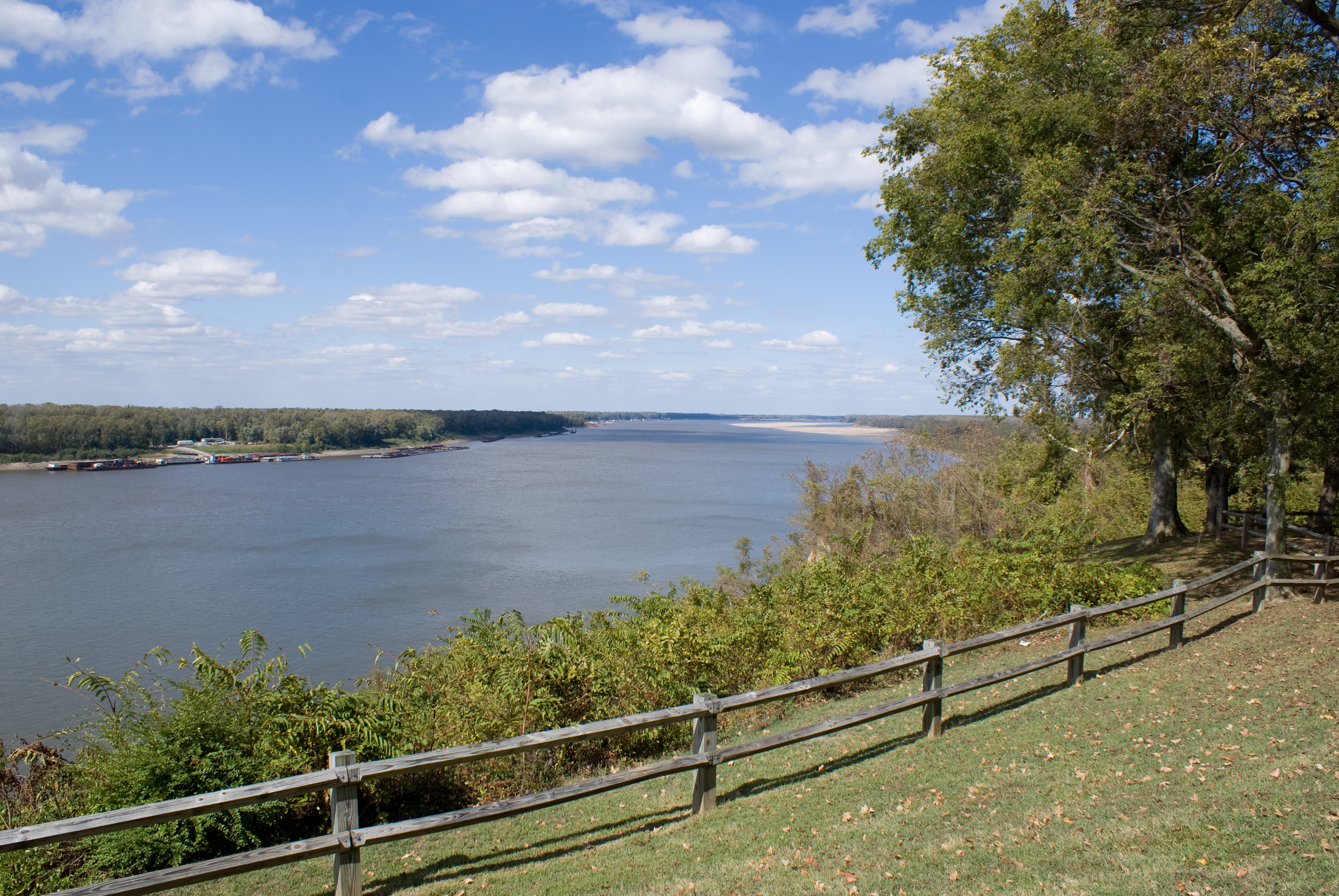
Trail of Tears NHT Kentucky Columbus Belmont SP View of Mississippi River

Columbus 100
Civil War Days

Belmont 1266
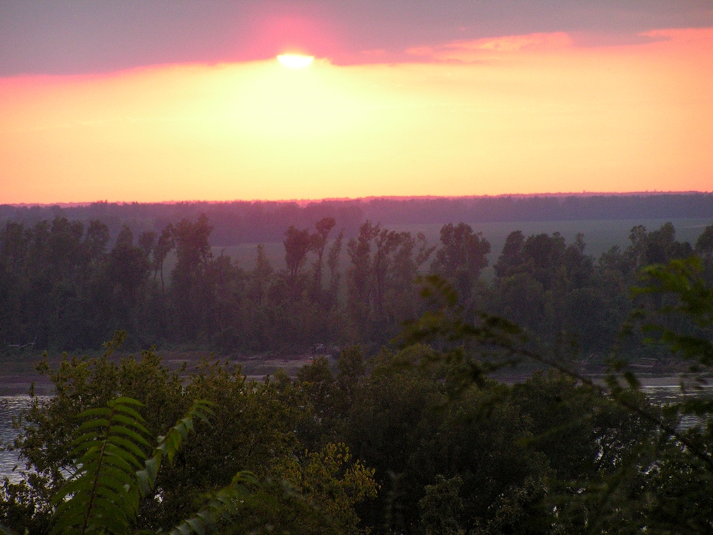
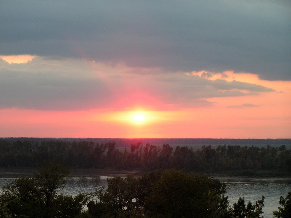
Sunset over the Mississippi 3 9-21-11
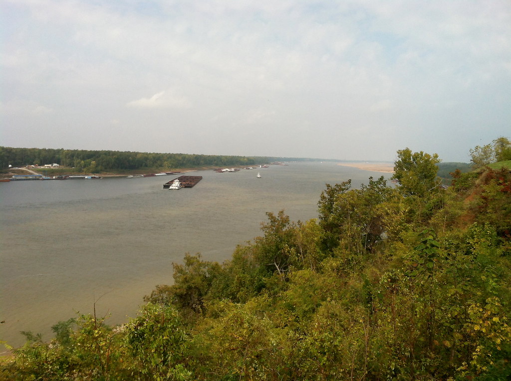
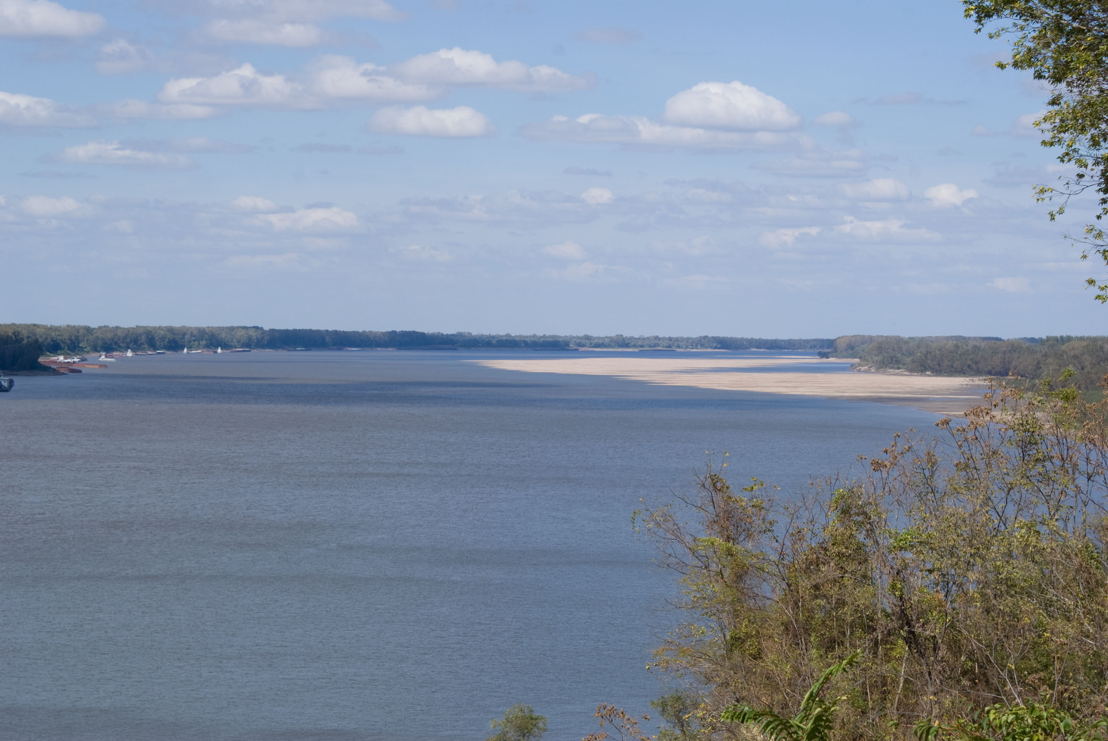
Columbus-Belmont State Park
34 corner blue hole

Columbus-Belmont State Park
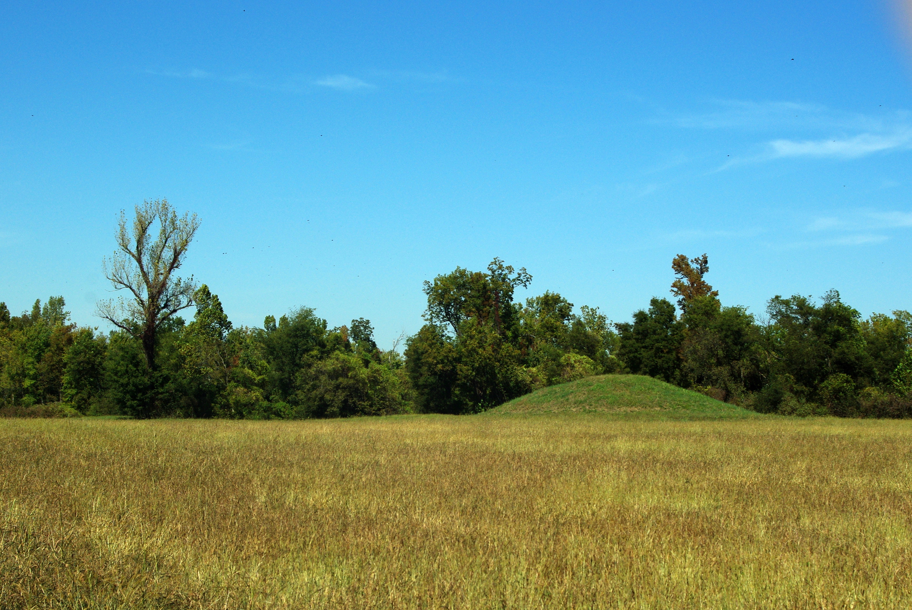
Towosahgy State Historic Site
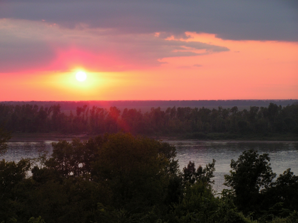
Sunset over the Mississippi 4 9-21-11

Sunset over the Mississippi 2 9-21-11
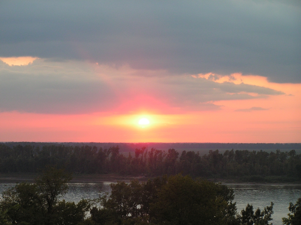
Sunset over the Mississippi 9-21-11
Sunset over the Mississippi 5 9-21-11
Belmont Missouri
Confederate Line at Belmont Missouri
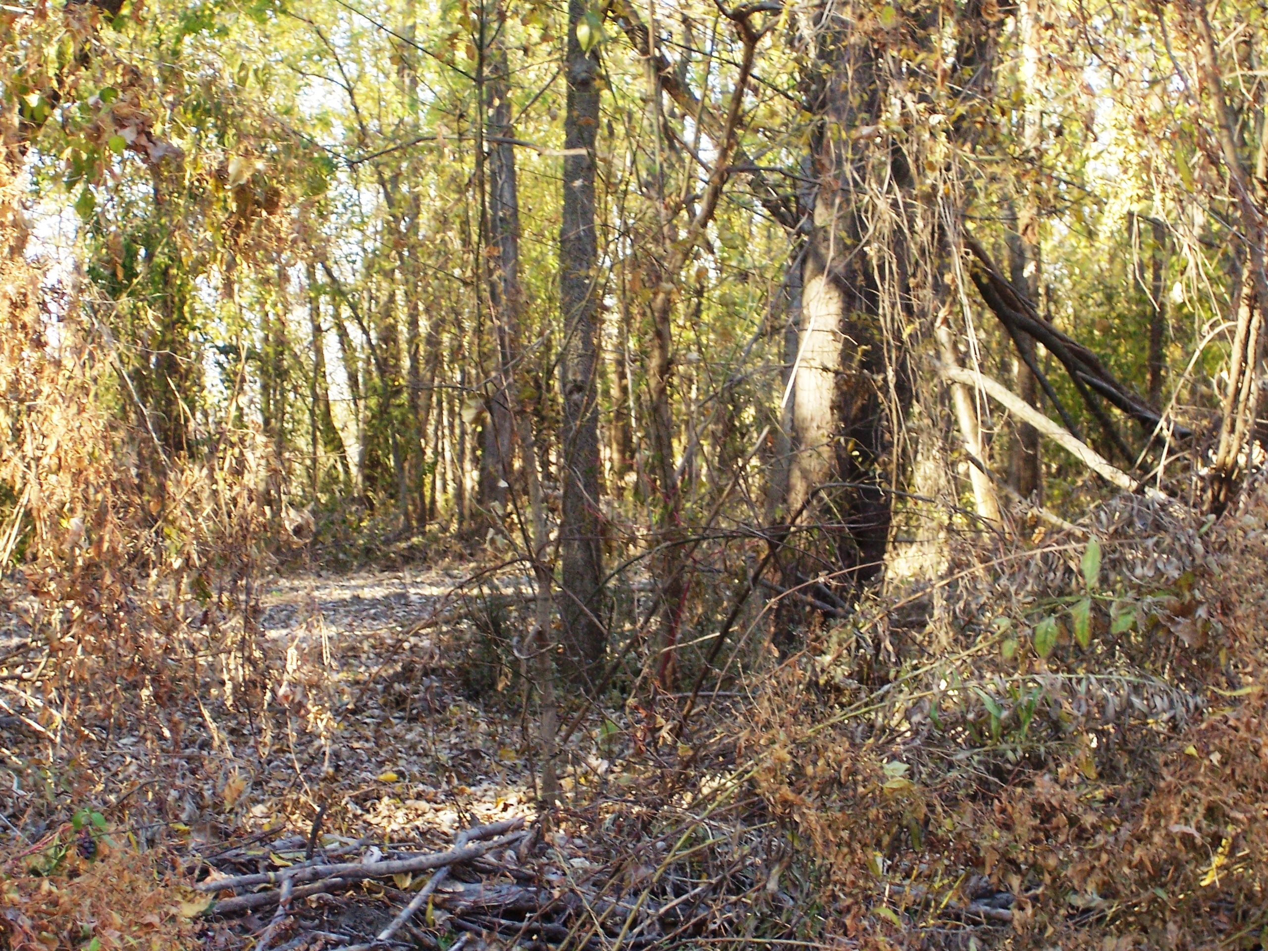
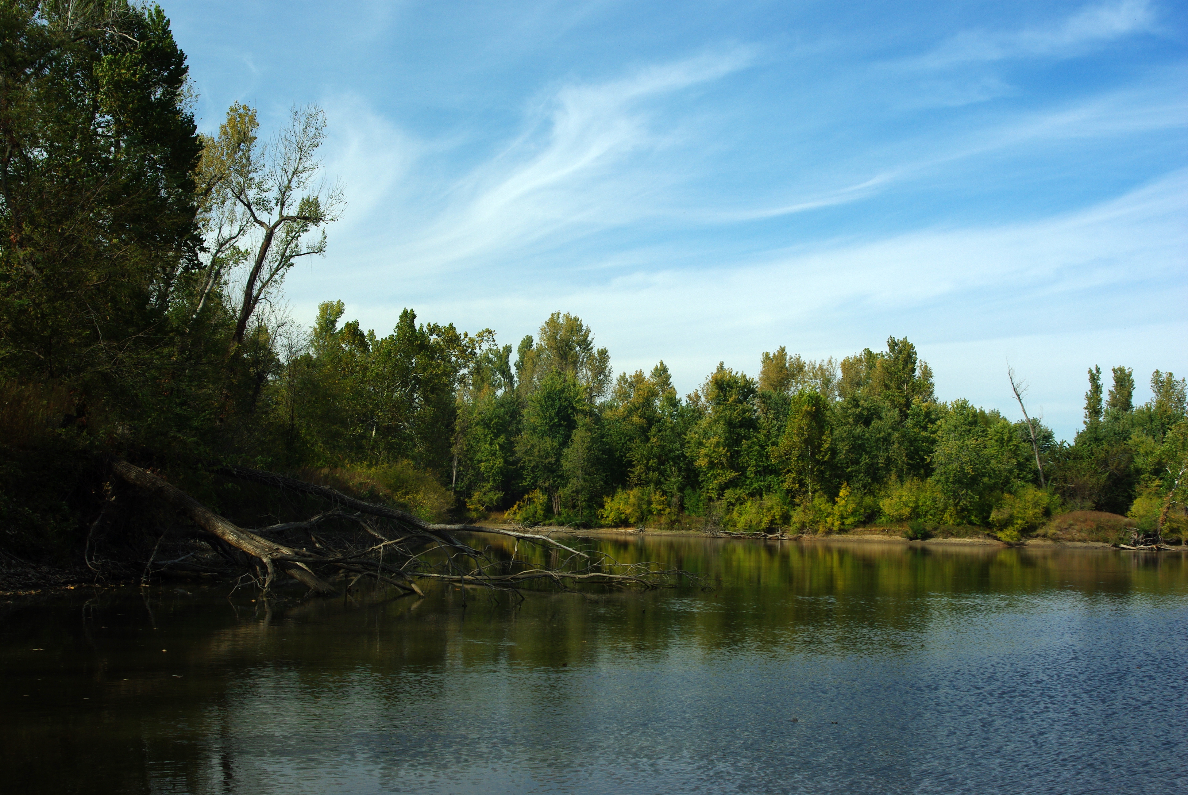
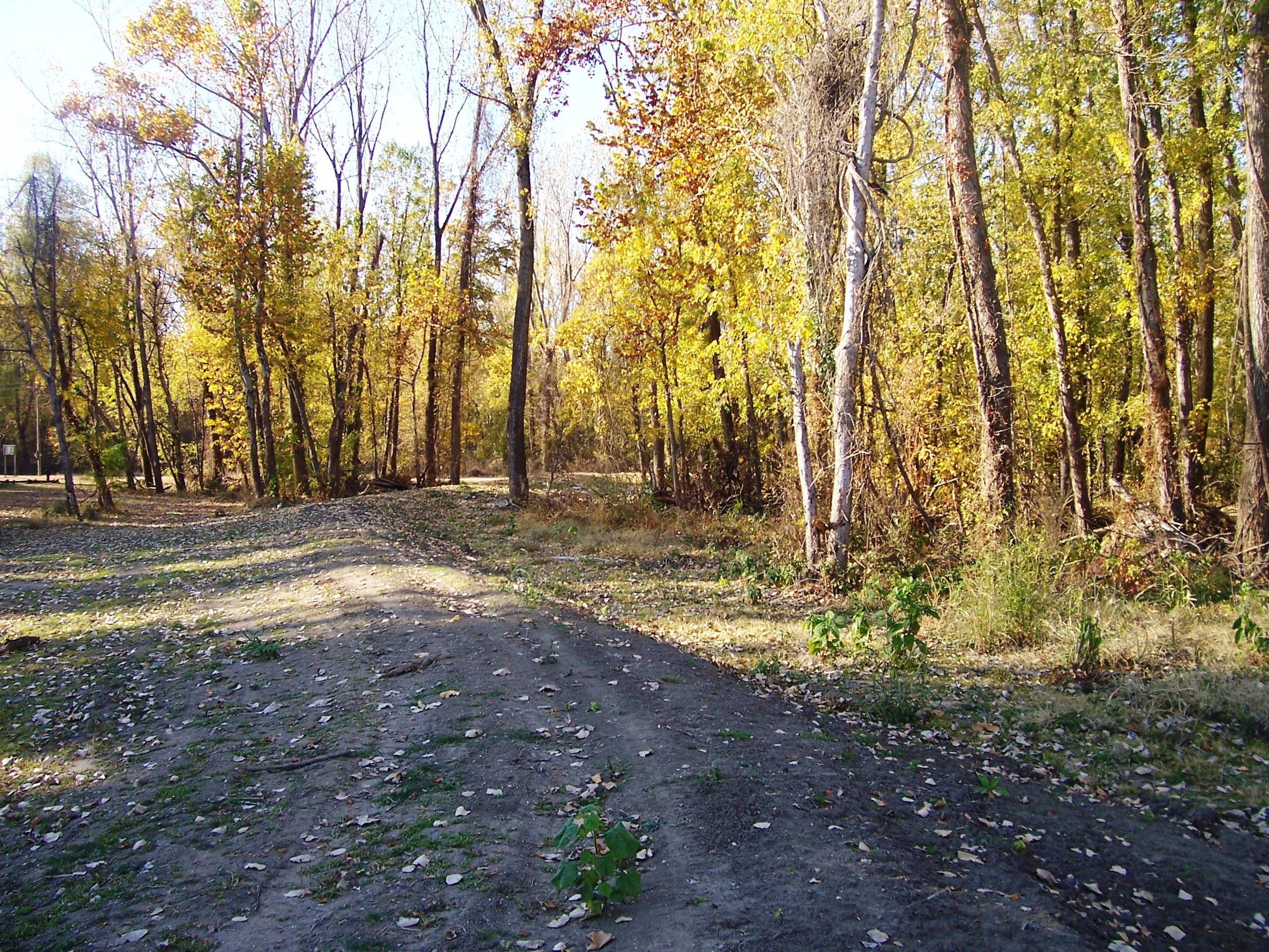
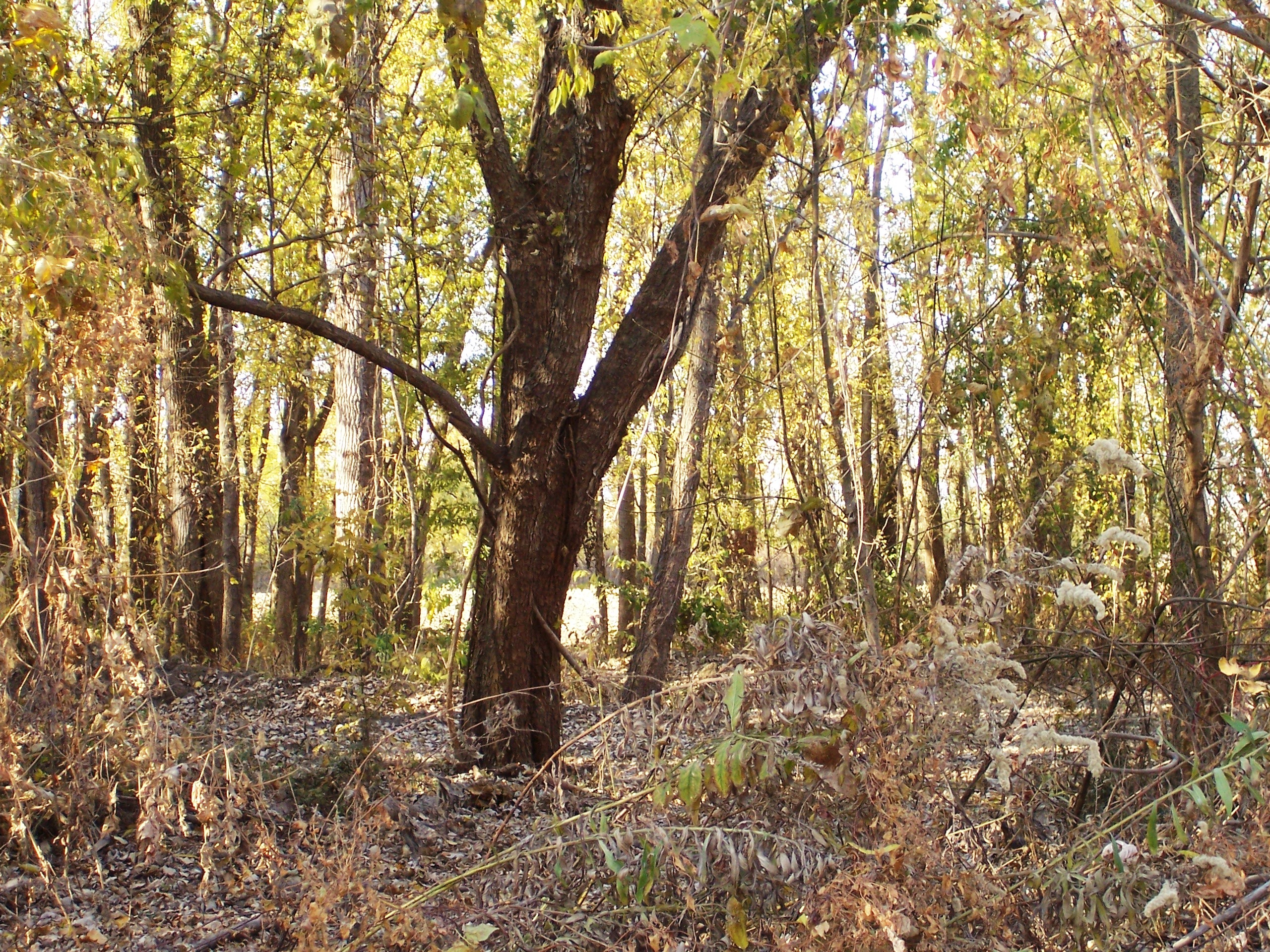
Belmont Missouri Heavy Timber
Columbus-Belmont

Columbus 098
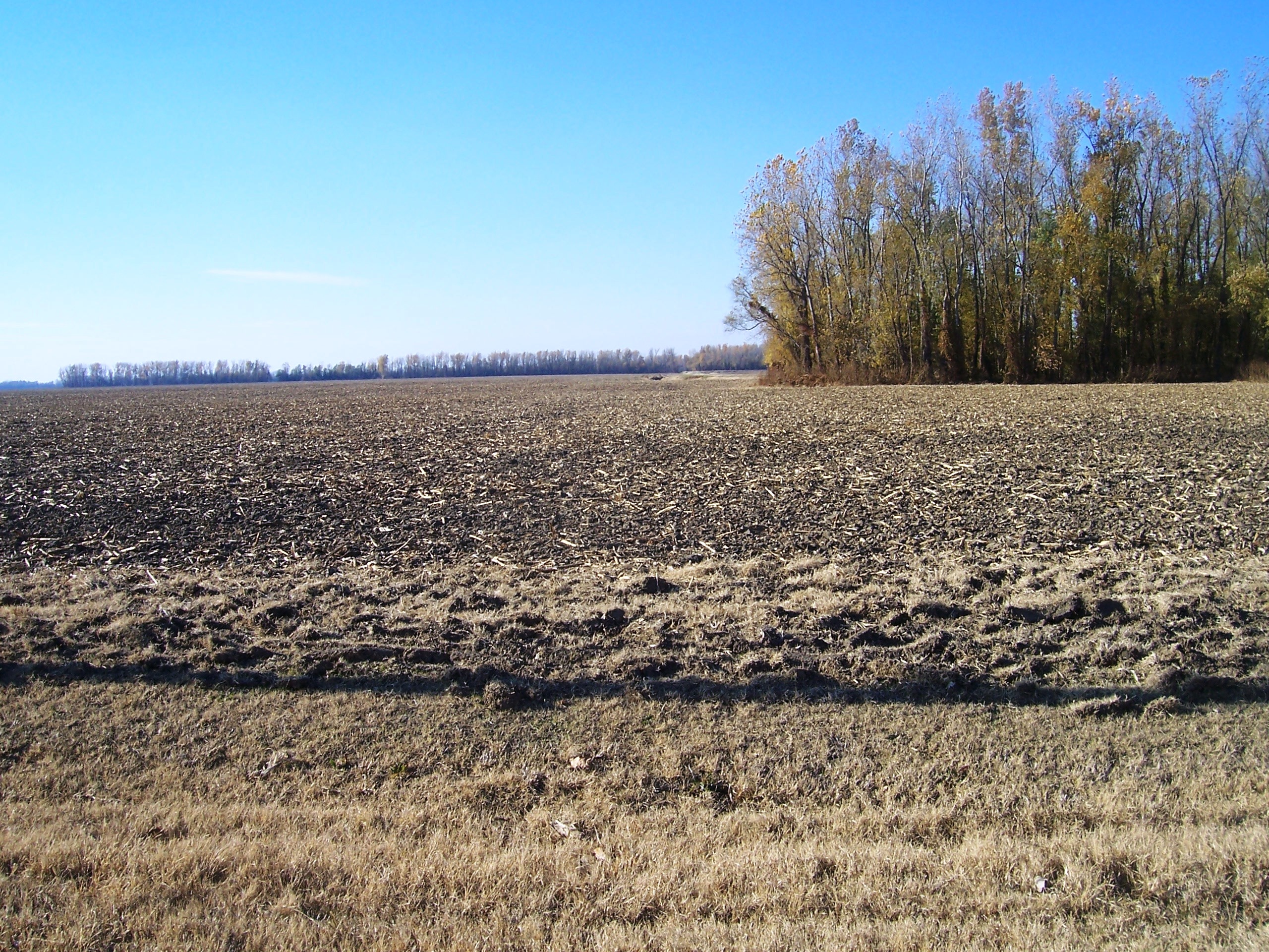
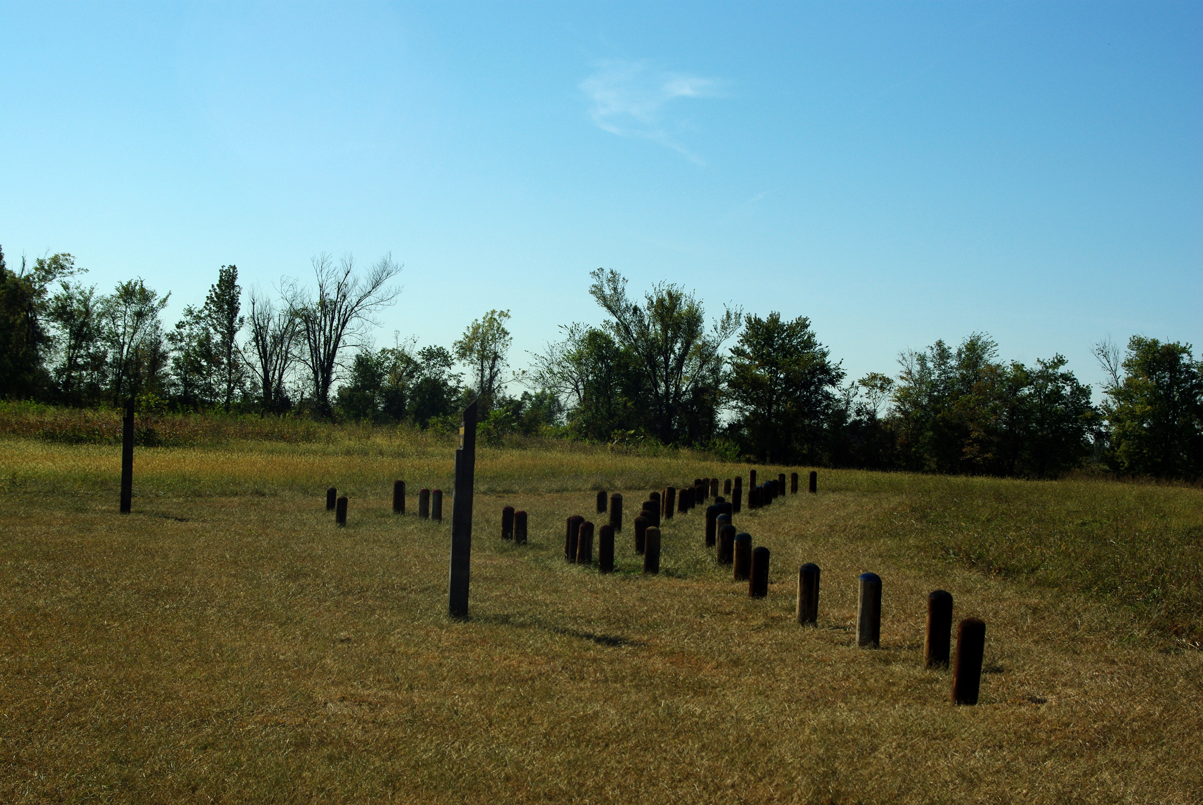
Belmont Battlefield
Columbus-Belmont
Towosahgy State Historic Site
Topographic Map of KY-, Clinton, KY, USA
Find elevation by address:

Places near KY-, Clinton, KY, USA:
Clinton
Hickman County
US-51, Arlington, KY, USA
Arlington
Fulton County
Hickman
Carlisle County
Bardwell
Elm St, Bardwell, KY, USA
KY-, Fulton, KY, USA
45 Co Rd, Fancy Farm, KY, USA
Water Valley
US-45, Water Valley, KY, USA
Sellars Road
Co Rd, Cunningham, KY, USA
588 Hughes Rd
Blandville Rd, Blandville, KY, USA
Cunningham
Wickliffe
375 Elder Rd
Recent Searches:
- Elevation of Elwyn Dr, Roanoke Rapids, NC, USA
- Elevation of Congressional Dr, Stevensville, MD, USA
- Elevation of Bellview Rd, McLean, VA, USA
- Elevation of Stage Island Rd, Chatham, MA, USA
- Elevation of Shibuya Scramble Crossing, 21 Udagawacho, Shibuya City, Tokyo -, Japan
- Elevation of Jadagoniai, Kaunas District Municipality, Lithuania
- Elevation of Pagonija rock, Kranto 7-oji g. 8"N, Kaunas, Lithuania
- Elevation of Co Rd 87, Jamestown, CO, USA
- Elevation of Tenjo, Cundinamarca, Colombia
- Elevation of Côte-des-Neiges, Montreal, QC H4A 3J6, Canada