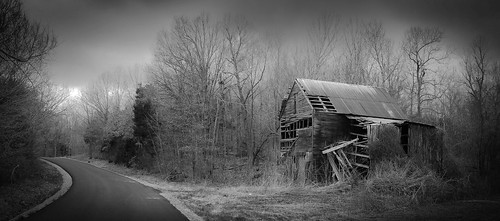
Elevation of KY-, Boaz, KY, USA
Location: United States > Kentucky > Graves County > Boaz >
Longitude: -88.578375
Latitude: 36.8955288
Elevation: 119m / 390feet
Barometric Pressure: 100KPa
Related Photos:
Topographic Map of KY-, Boaz, KY, USA
Find elevation by address:

Places near KY-, Boaz, KY, USA:
KY-, Hickory, KY, USA
160 Wadesboro Rd
5931 Oaks Rd
12017 Ky-131
12017 Ky-131
12017 Ky-131
12017 Ky-131
12017 Ky-131
12017 Ky-131
12017 Ky-131
Symsonia
4365 Oaks Rd
Powers Rd, Paducah, KY, USA
2220 Oaks Rd
208 Watson Rd
Wilton Circle
1406 Oaks Rd
5931 Kentucky Dam Rd
Reidland
813 Coventry Trail
Recent Searches:
- Elevation of 6 Rue Jules Ferry, Beausoleil, France
- Elevation of Sattva Horizon, 4JC6+G9P, Vinayak Nagar, Kattigenahalli, Bengaluru, Karnataka, India
- Elevation of Great Brook Sports, Gold Star Hwy, Groton, CT, USA
- Elevation of 10 Mountain Laurels Dr, Nashua, NH, USA
- Elevation of 16 Gilboa Ln, Nashua, NH, USA
- Elevation of Laurel Rd, Townsend, TN, USA
- Elevation of 3 Nestling Wood Dr, Long Valley, NJ, USA
- Elevation of Ilungu, Tanzania
- Elevation of Yellow Springs Road, Yellow Springs Rd, Chester Springs, PA, USA
- Elevation of Rēzekne Municipality, Latvia
