Elevation of KY-56, Sturgis, KY, USA
Location: United States > Kentucky > Union County > Sturgis >
Longitude: -88.094465
Latitude: 37.6749639
Elevation: 117m / 384feet
Barometric Pressure: 100KPa
Elevation Map:
Satellite Map:
Related Photos:

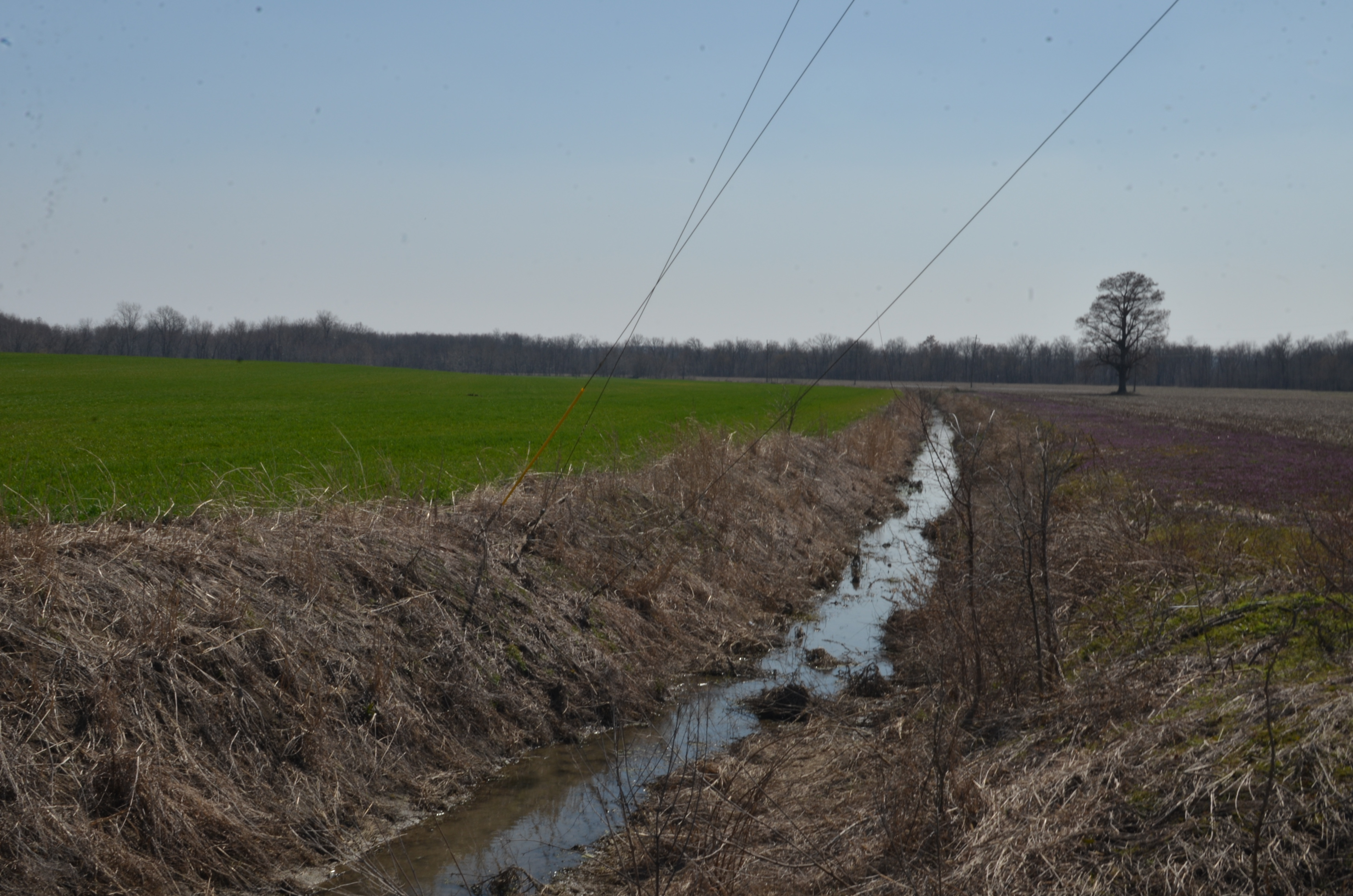
Summer Butterfly VII

Rusty....(Black and White)
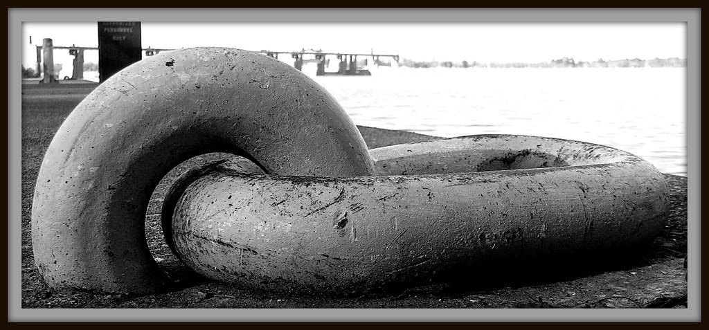
Link in Black and White

Summer Butterfly VI

Nip Rip Animation v2

Nip Rip Animation v1

...
The View

Pine Cone
....
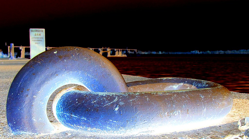
Link on Black Water
Kentucky Side Access Road (For Uniontown Dam) Ⅱ

Rusty....
The Banks of the Mighty Ohio
A Panoramic View Of The Uniontown Dam

Protecting the Departed

High Water at the Dam

Gliding Over the Ohio River II
....

Gliding Over the Ohio River III

Summer Butterfly III
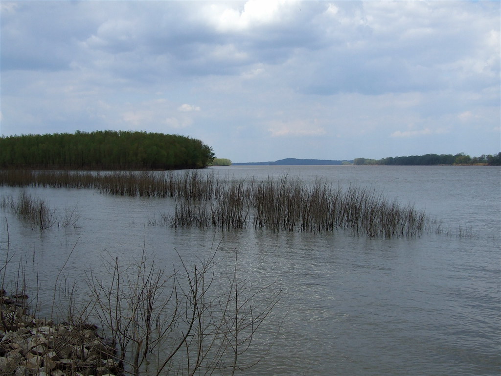
The Flood Plain Of The Ohio River

Ohio River Panorama at Shawneetown, IL

203 - ohio river panorama
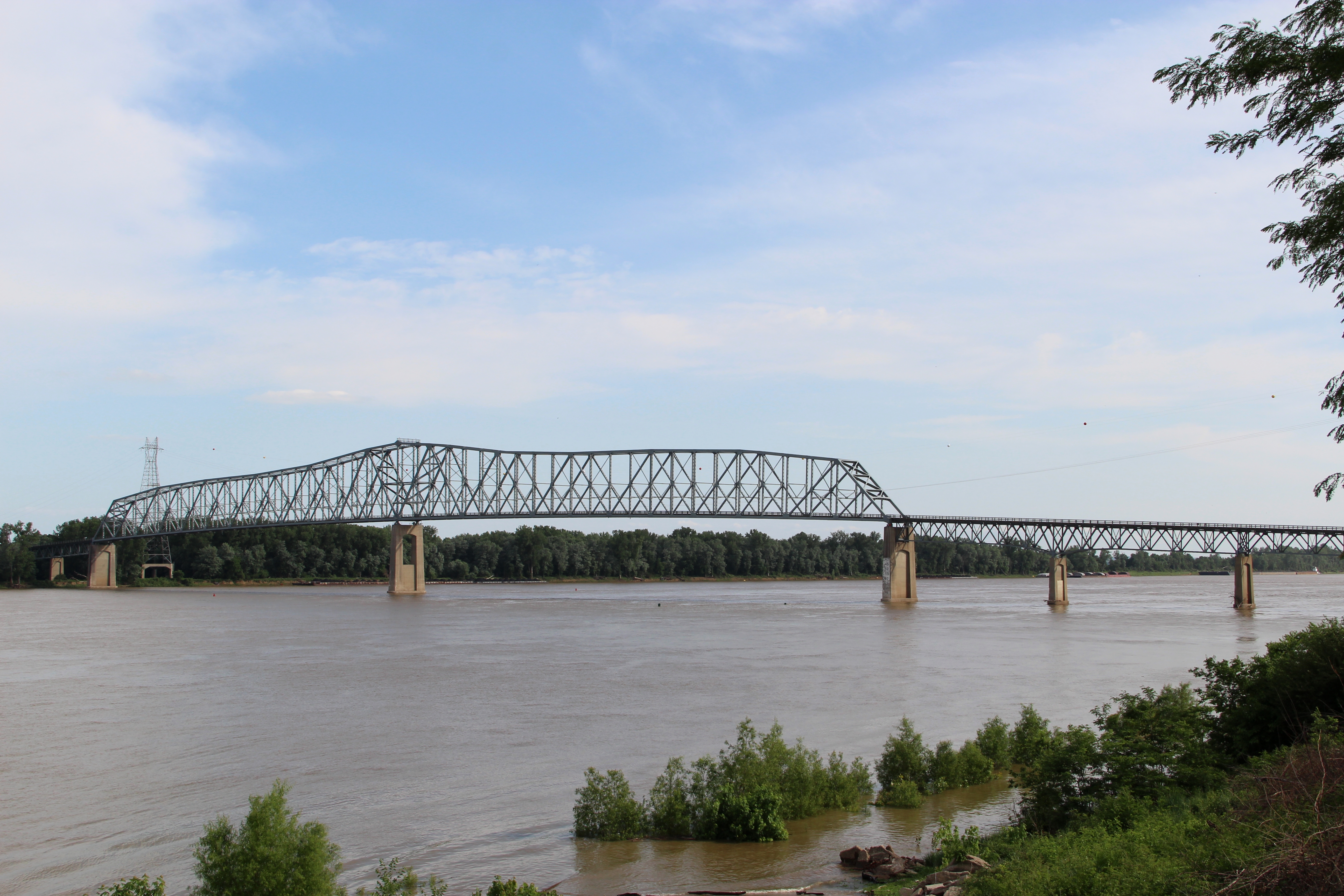
Shawneetown Bridge
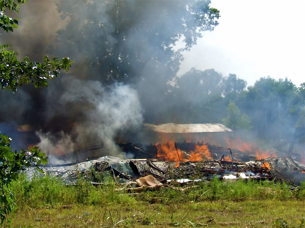
The Fiery End II
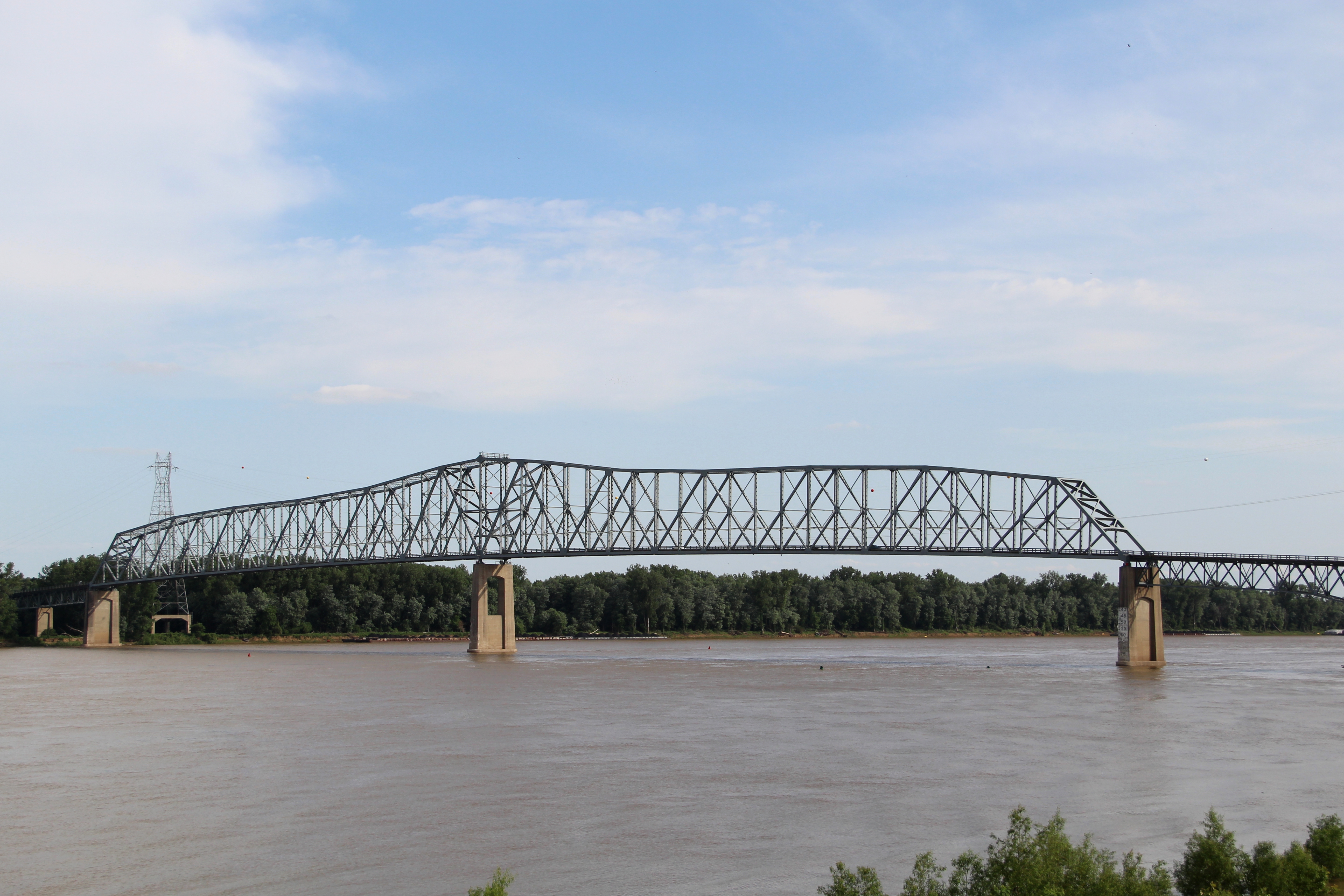
Shawneetown Bridge

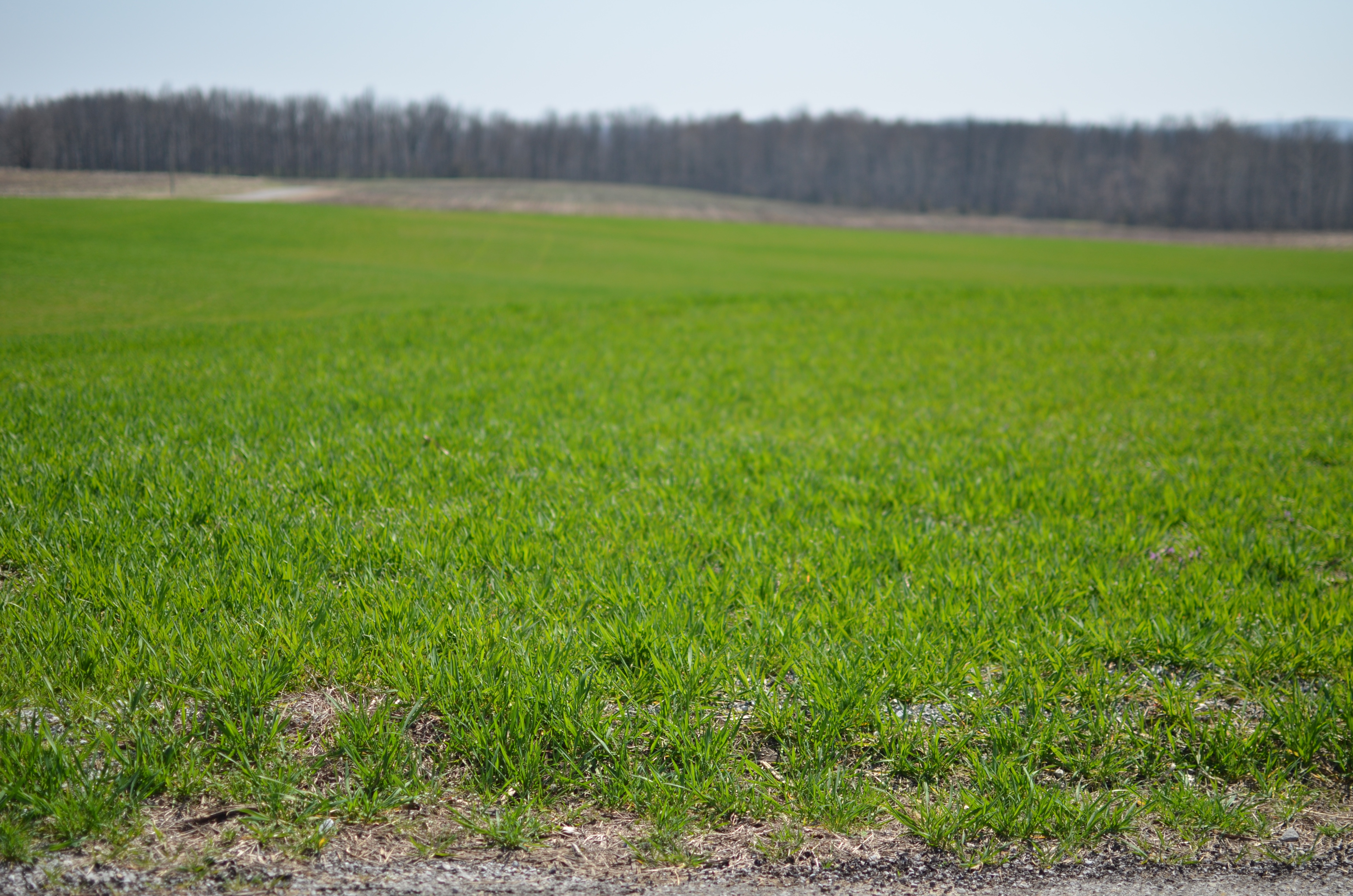
Fields Of Yellow
TimberRidge 300
TimberRidge 294
Topographic Map of KY-56, Sturgis, KY, USA
Find elevation by address:

Places near KY-56, Sturgis, KY, USA:
KY-, Morganfield, KY, USA
KY-, Morganfield, KY, USA
Shawneetown
Union County
US-60, Morganfield, KY, USA
Gallatin County
S Main St, Sturgis, KY, USA
Sturgis
Morganfield
Us Farm Services Agency
Point Township
Ridgway
Hovey Lake Fish And Wildlife Area
Leamington
Cave-in-rock
Equality Township
1875 Cotton Patch Rd
KY-, Morganfield, KY, USA
KY-, Morganfield, KY, USA
Peters Creek
Recent Searches:
- Elevation of Lampiasi St, Sarasota, FL, USA
- Elevation of Elwyn Dr, Roanoke Rapids, NC, USA
- Elevation of Congressional Dr, Stevensville, MD, USA
- Elevation of Bellview Rd, McLean, VA, USA
- Elevation of Stage Island Rd, Chatham, MA, USA
- Elevation of Shibuya Scramble Crossing, 21 Udagawacho, Shibuya City, Tokyo -, Japan
- Elevation of Jadagoniai, Kaunas District Municipality, Lithuania
- Elevation of Pagonija rock, Kranto 7-oji g. 8"N, Kaunas, Lithuania
- Elevation of Co Rd 87, Jamestown, CO, USA
- Elevation of Tenjo, Cundinamarca, Colombia