Elevation of KVARNBERGSTORP 27, 50 Los, Sweden
Location: Sweden > Gavleborg County > Ljusdal V >
Longitude: 15.2464929
Latitude: 61.5667394
Elevation: 307m / 1007feet
Barometric Pressure: 98KPa
Elevation Map:
Satellite Map:
Related Photos:
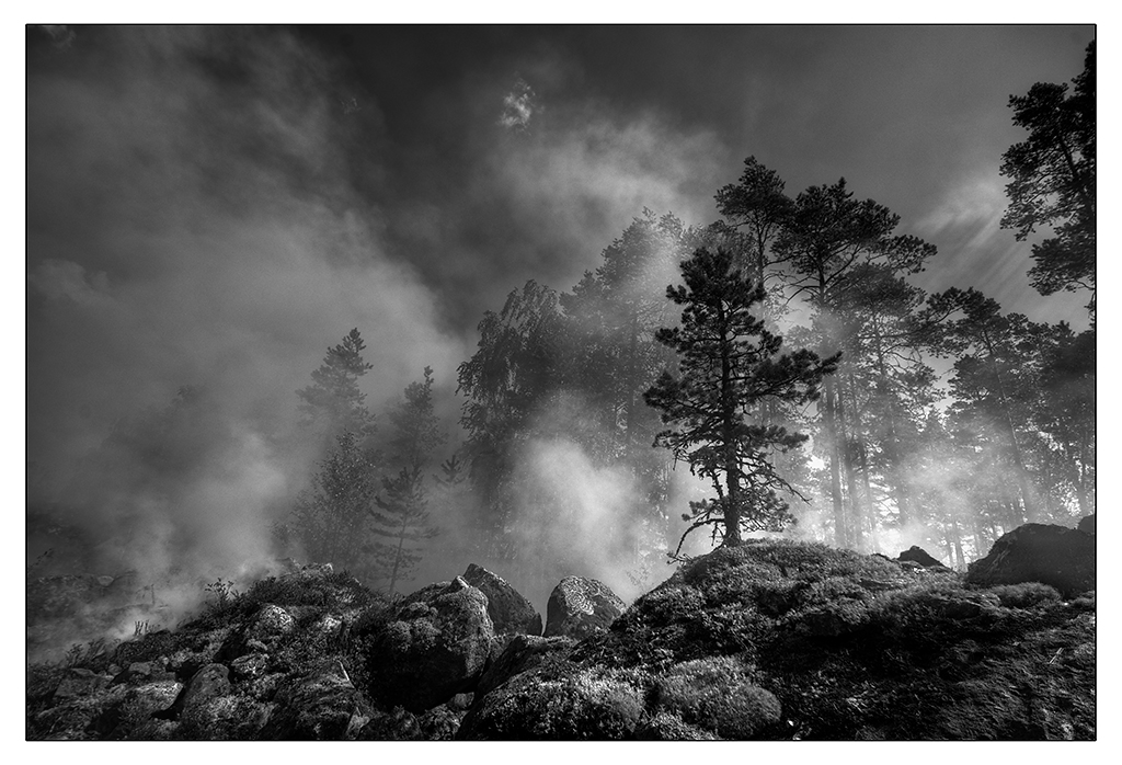
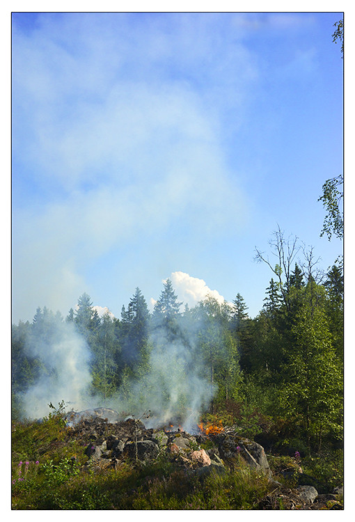
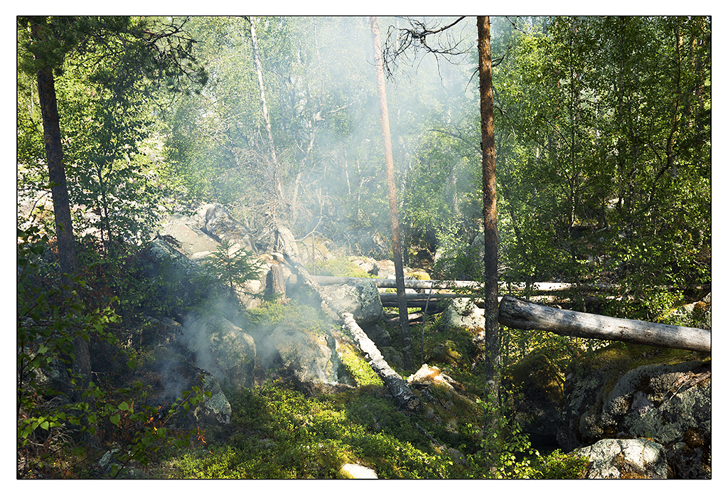
Forest fire
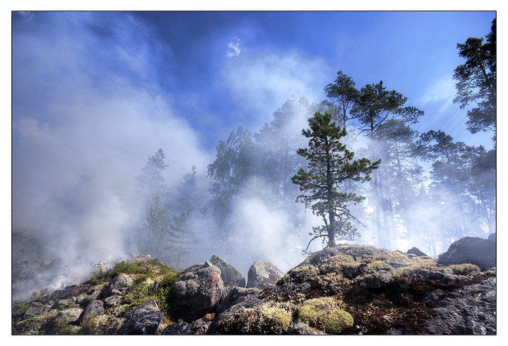
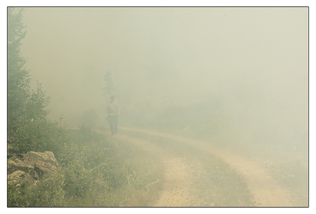
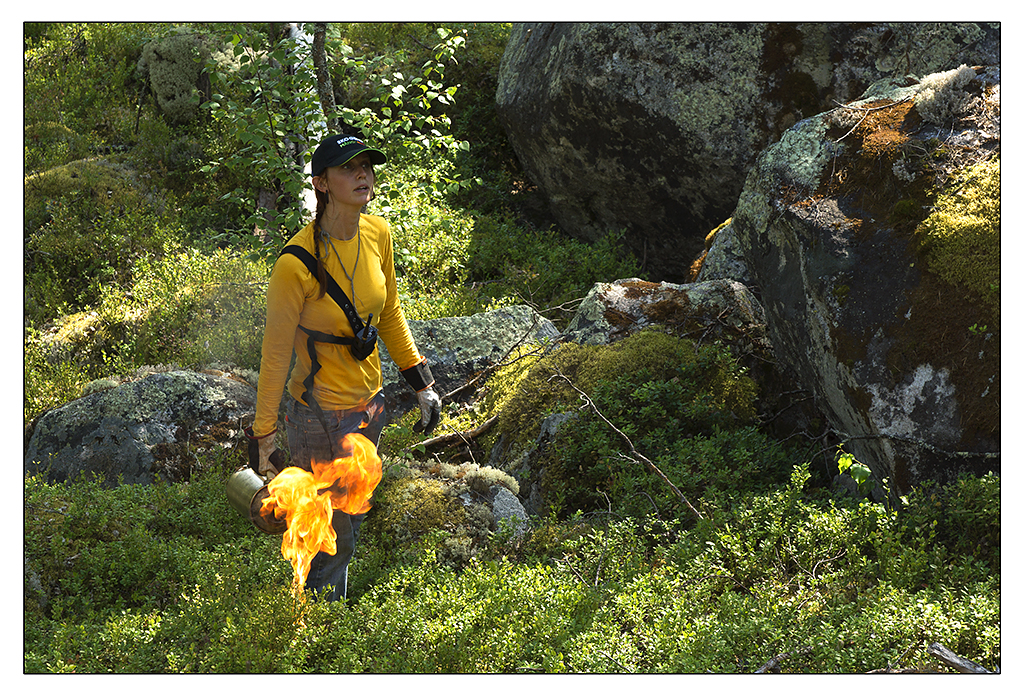
Forest fire
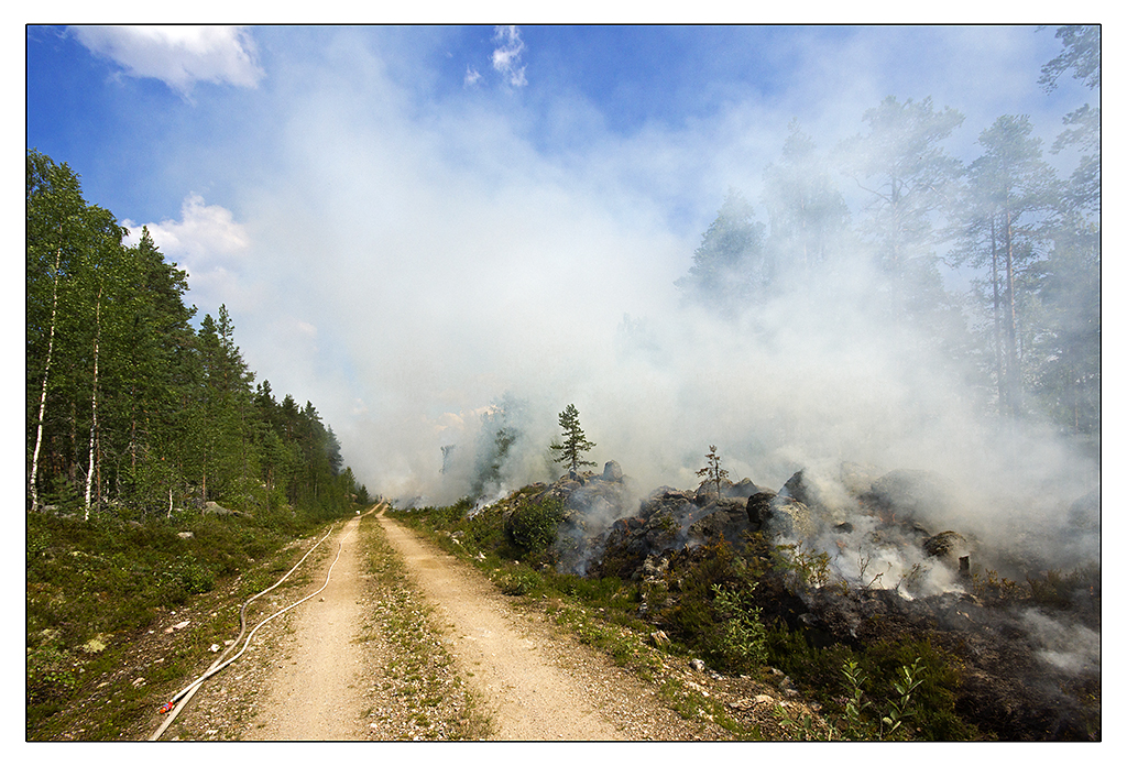
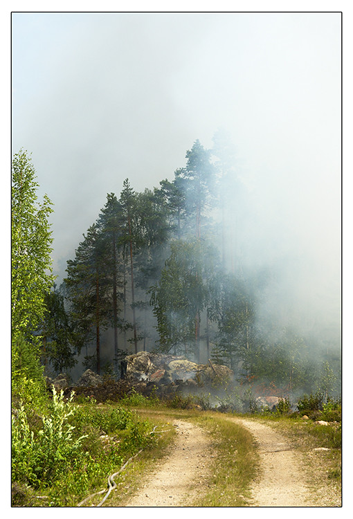
Forest fire
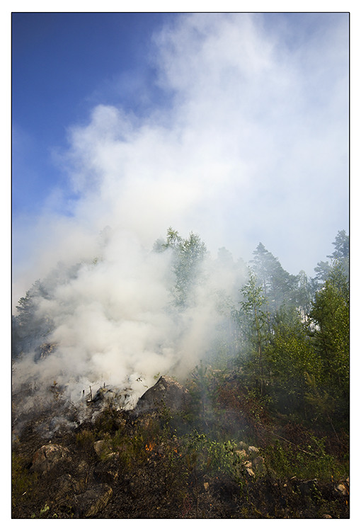
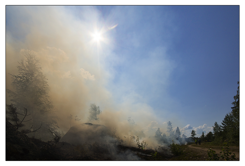
Forest fire
Forest fire

Sarah & leia

I with Z

Besökare Samtidigt

Zubana ????

Kaushik Aparajita Abantika

Besökare Samtidigt

Besökare Samtidigt

The King

Filippa Croon

Biruk och Lana

Forest fire
Forest fire
Forest fire
Forest fire
Forest fire
Forest fire
Topographic Map of KVARNBERGSTORP 27, 50 Los, Sweden
Find elevation by address:

Places near KVARNBERGSTORP 27, 50 Los, Sweden:
Ljusdal V
Södra Blommaberg
Södra Blommaberg, 93 Voxnabruk, Sweden
TACKÅSEN UVVÄGEN 3, 98 Orsa, Sweden
TOMS HUDISENLATTVÄGEN 10, 51 Hamra, Sweden
Rättvik N
Skattungen
DALBYN KYRKVÄGEN 45, 70 Furudal, Sweden
BLECKET RISGATU 1, 92 Rättvik, Sweden
Rättvik
Vikarbyn
Dalarna County
Östanhol Siljansvägen, 94 Tällberg, Sweden
Risholn, 90 Leksand, Sweden
Risholn
FALKEN 6, 90 Orsa, Sweden
Sätra byväg 16, 90 Leksand, Sweden
Fryksås, 98 Orsa, Sweden
Fryksås
Vattnäs byväg 89, 97 Mora, Sweden
Recent Searches:
- Elevation of Elwyn Dr, Roanoke Rapids, NC, USA
- Elevation of Congressional Dr, Stevensville, MD, USA
- Elevation of Bellview Rd, McLean, VA, USA
- Elevation of Stage Island Rd, Chatham, MA, USA
- Elevation of Shibuya Scramble Crossing, 21 Udagawacho, Shibuya City, Tokyo -, Japan
- Elevation of Jadagoniai, Kaunas District Municipality, Lithuania
- Elevation of Pagonija rock, Kranto 7-oji g. 8"N, Kaunas, Lithuania
- Elevation of Co Rd 87, Jamestown, CO, USA
- Elevation of Tenjo, Cundinamarca, Colombia
- Elevation of Côte-des-Neiges, Montreal, QC H4A 3J6, Canada