Elevation of Kutaisi-Baghdati-Abastumani-Benara, Georgia
Location: Georgia > Imereti >
Longitude: 42.8368554
Latitude: 41.8336901
Elevation: 2189m / 7182feet
Barometric Pressure: 78KPa
Elevation Map:
Satellite Map:
Related Photos:
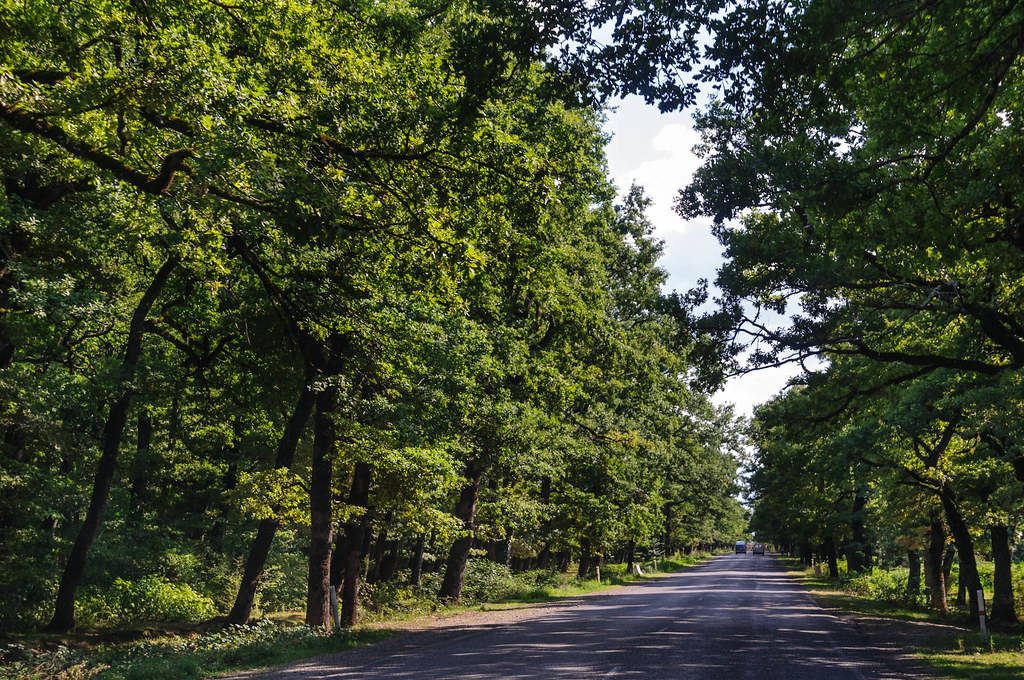
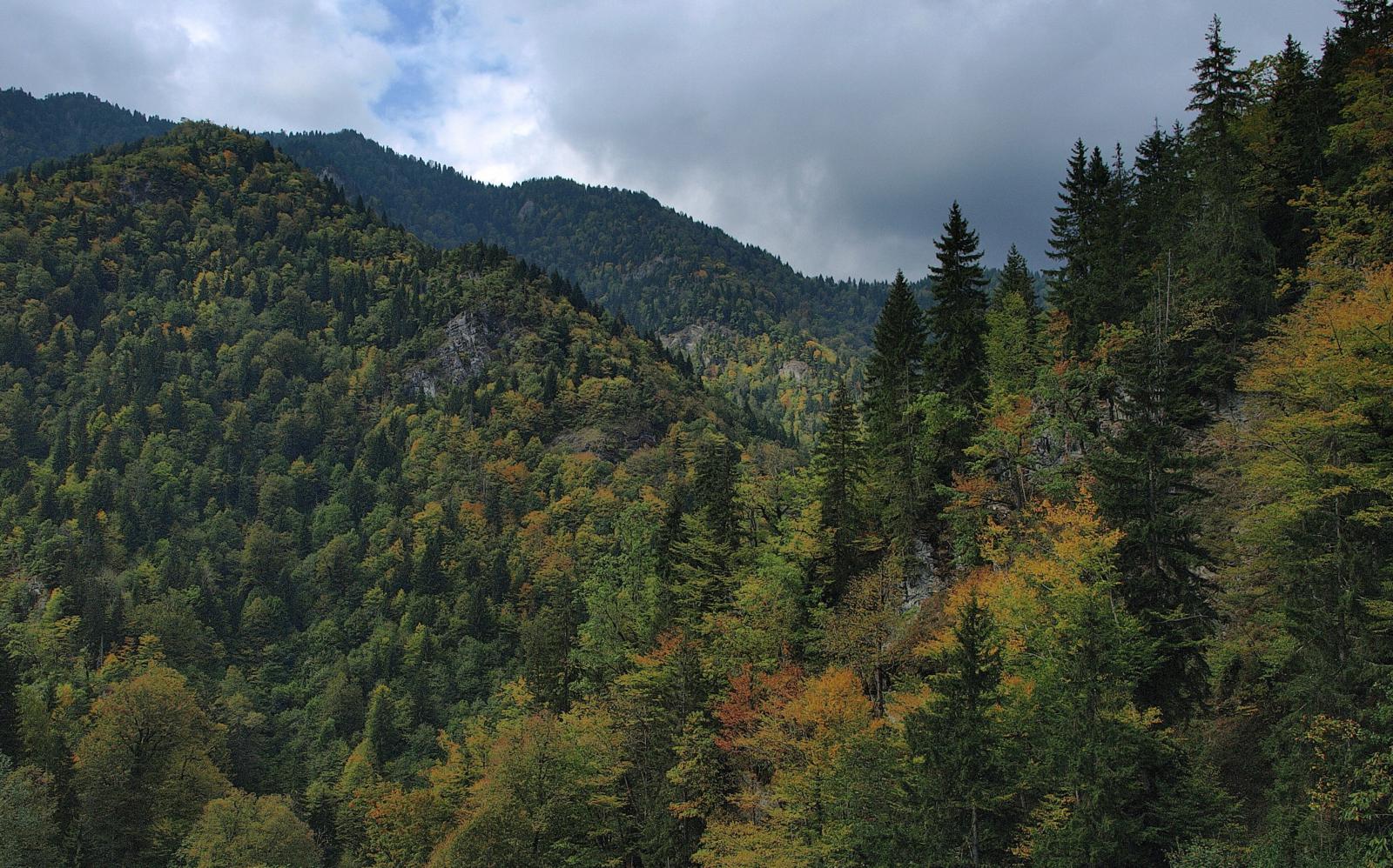
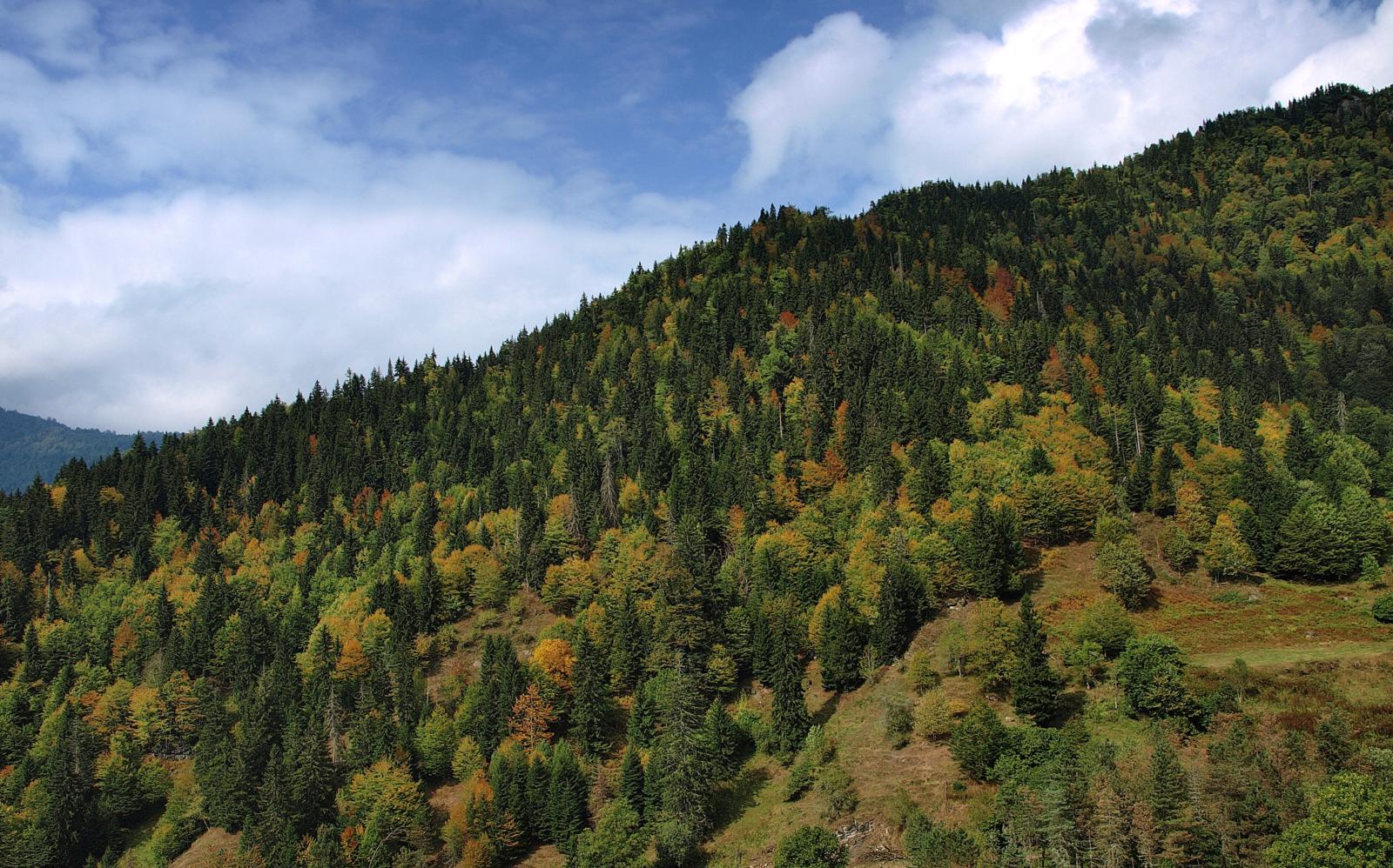
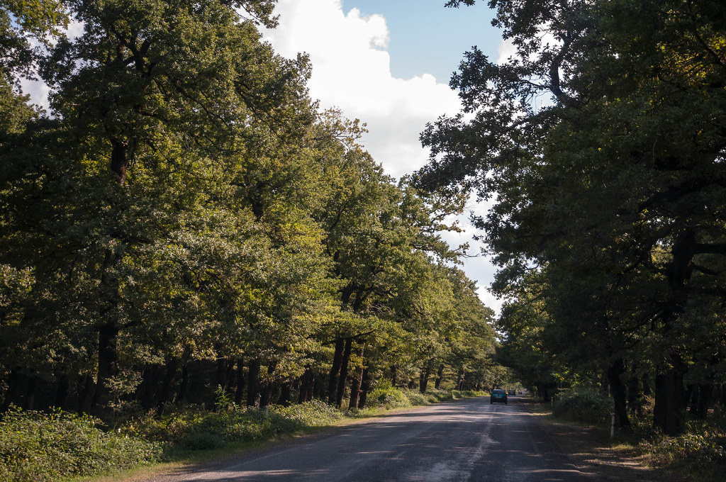
GE-0601-20120905.jpg
Грузия. Саирме
Грузия. Саирме
Грузия. Саирме

Грузия. Саирме
Грузия. Саирме
Грузия. Саирме
Грузия. Саирме
Грузия. Саирме
Грузия. Саирме

Грузия. Саирме
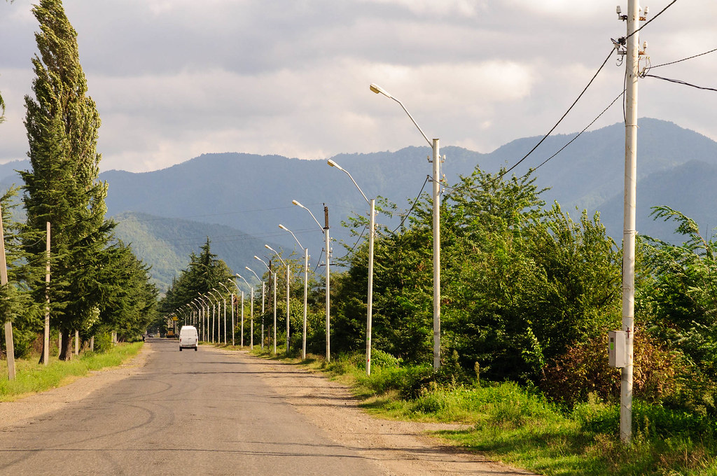
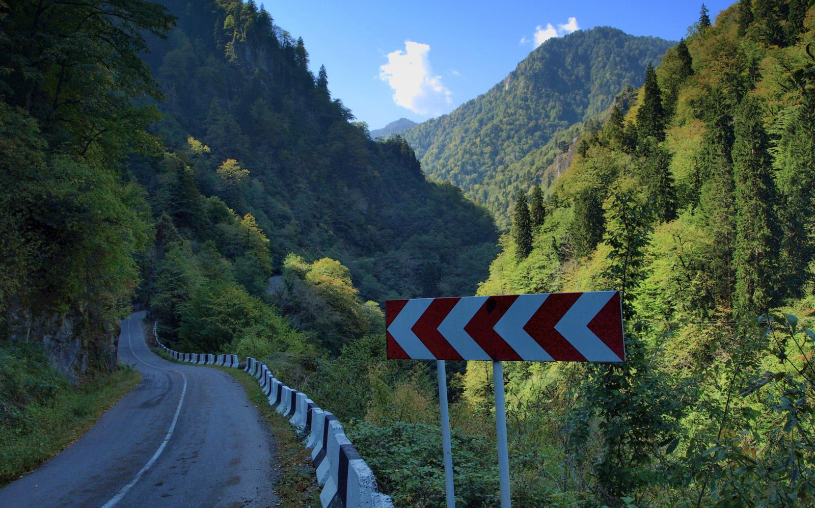
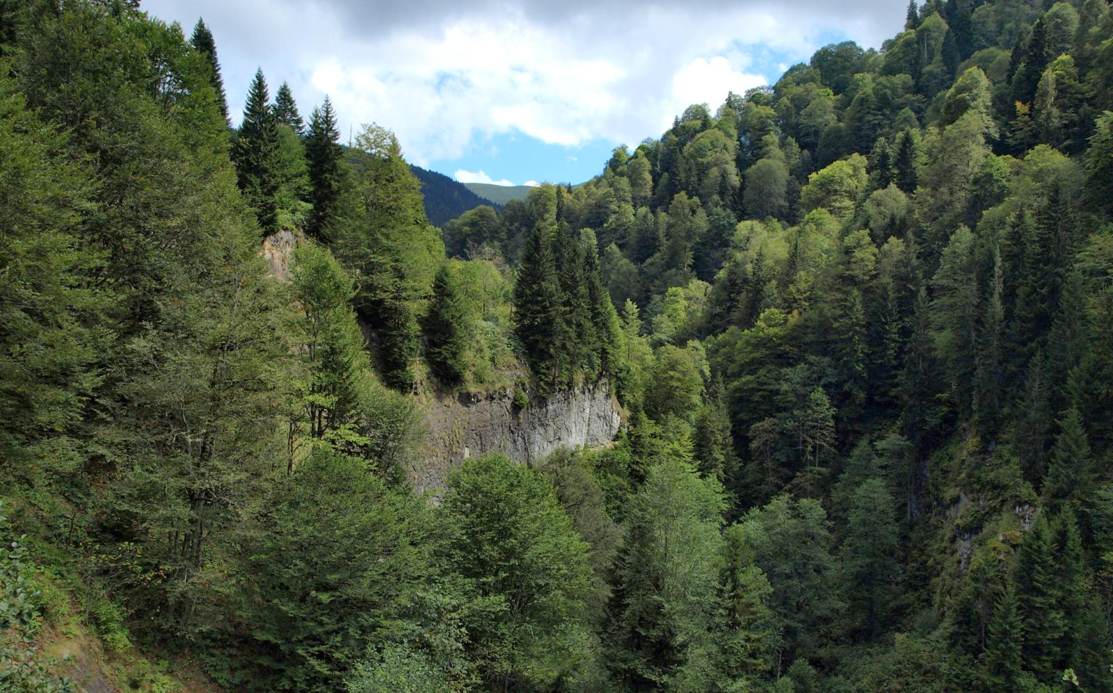
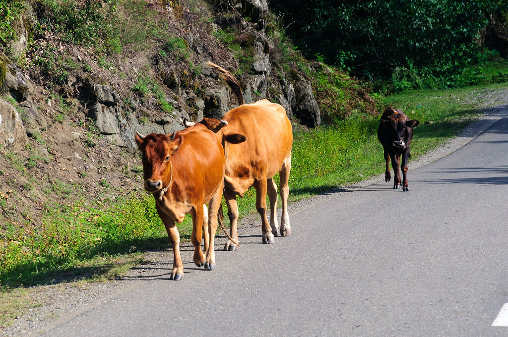
GE-0603-20120905.jpg
Грузия. Курорт "Саирме"
Грузия. Саирме

Грузия. Саирме
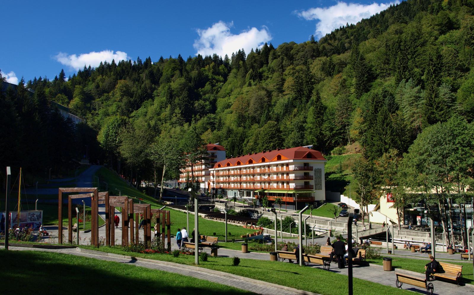
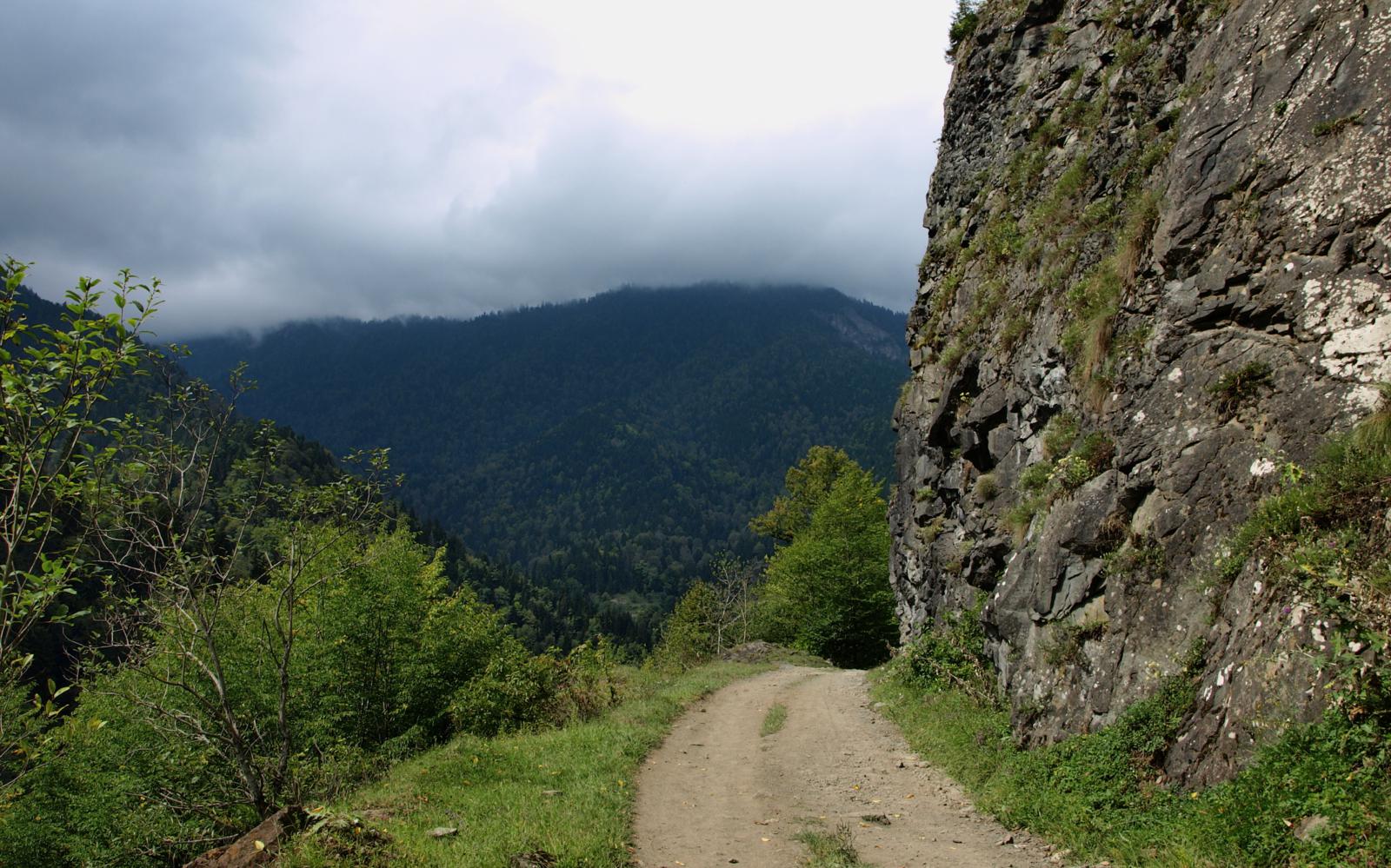
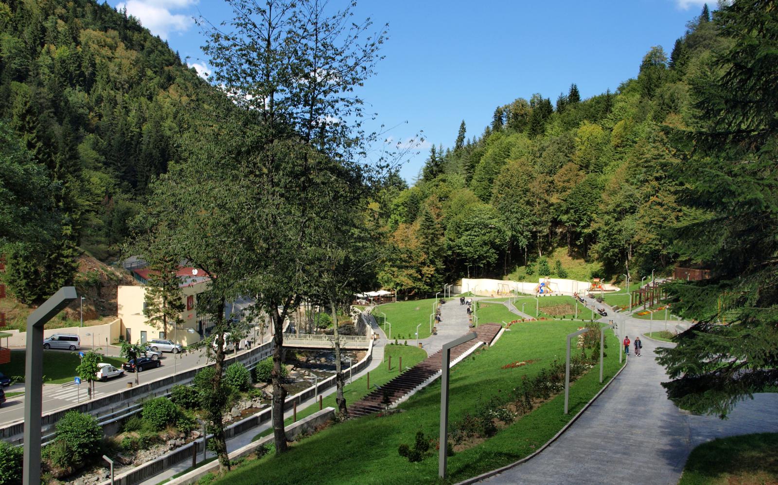
GE-0598-20120905.jpg
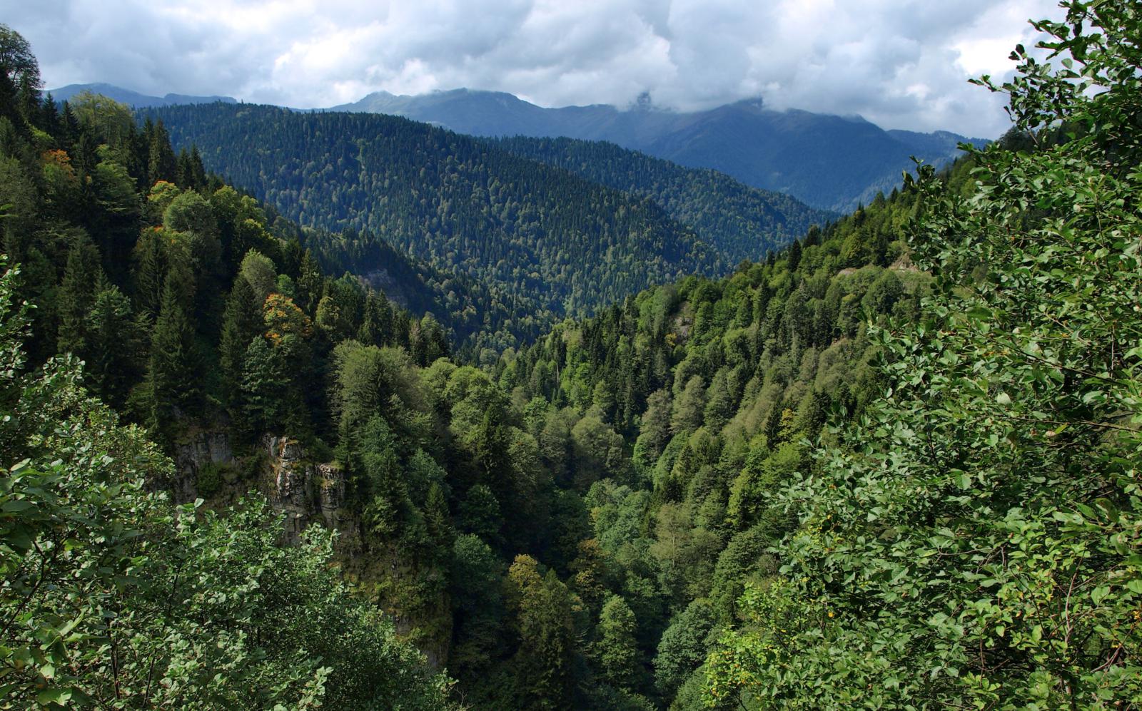
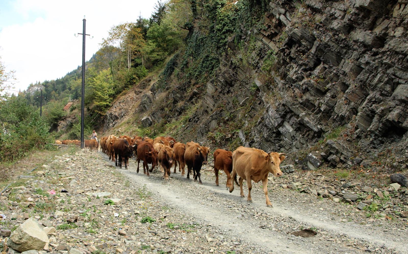
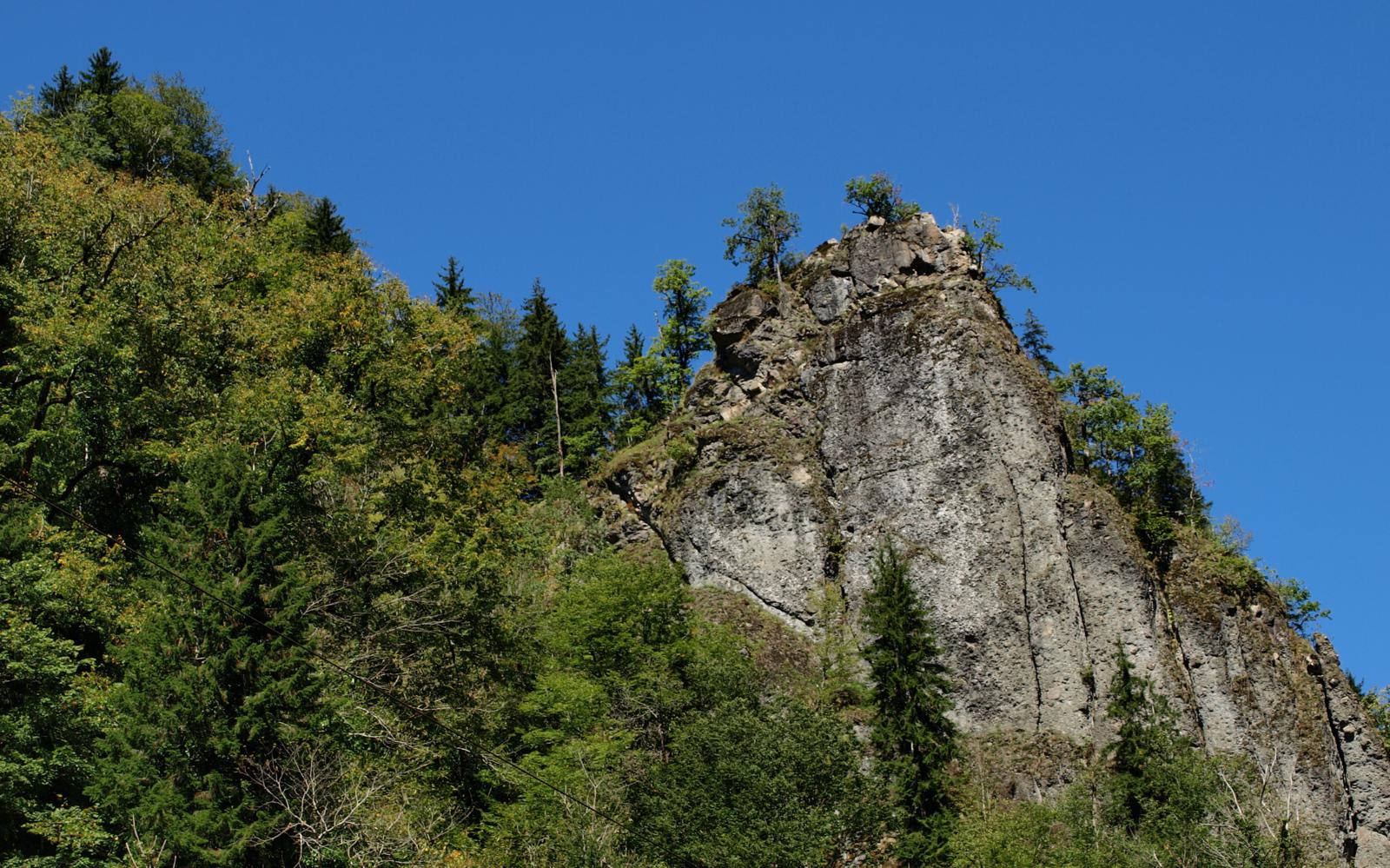
GE-0615-20120905.jpg
Topographic Map of Kutaisi-Baghdati-Abastumani-Benara, Georgia
Find elevation by address:

Places near Kutaisi-Baghdati-Abastumani-Benara, Georgia:
Borjomi-kharagauli National Park
Akhaltsikhe
Minadze
Vardzia
Vartsikhe
Atskuri
Zestafoni
Goderdzi Resort
Kharagauli
Danisparauli
Vardzia Cave
Samtskhe-javakheti
Borjomi
Zanavi
Vardzia
Vardzia Cavetown Viewpoint
Vardzia Resort
Akhaldaba
Phona
Rikoti Tunnel
Recent Searches:
- Elevation of Lampiasi St, Sarasota, FL, USA
- Elevation of Elwyn Dr, Roanoke Rapids, NC, USA
- Elevation of Congressional Dr, Stevensville, MD, USA
- Elevation of Bellview Rd, McLean, VA, USA
- Elevation of Stage Island Rd, Chatham, MA, USA
- Elevation of Shibuya Scramble Crossing, 21 Udagawacho, Shibuya City, Tokyo -, Japan
- Elevation of Jadagoniai, Kaunas District Municipality, Lithuania
- Elevation of Pagonija rock, Kranto 7-oji g. 8"N, Kaunas, Lithuania
- Elevation of Co Rd 87, Jamestown, CO, USA
- Elevation of Tenjo, Cundinamarca, Colombia