Elevation map of Kutai Kartanegara Regency, East Kalimantan, Indonesia
Location: Indonesia > East Kalimantan >
Longitude: 116.608165
Latitude: -0.1336655
Elevation: 6m / 20feet
Barometric Pressure: 101KPa
Elevation Map:
Satellite Map:
Related Photos:
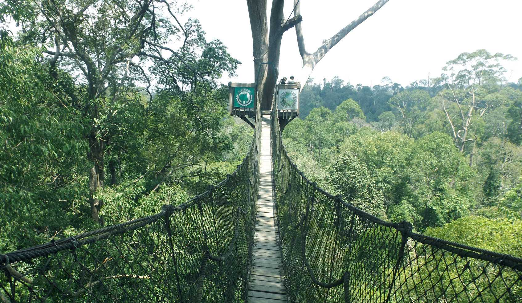
Bangkirai Rainforest, East Kalimantan, Indonesia
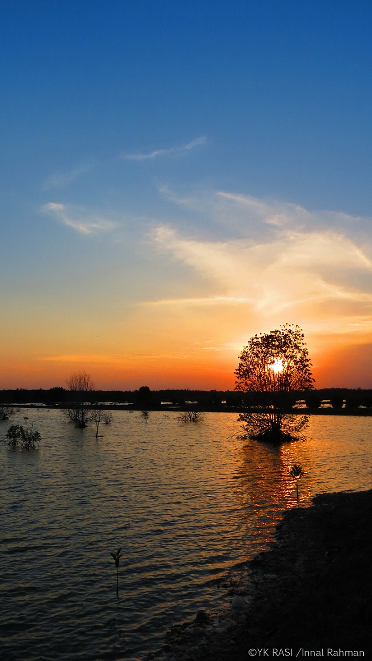
Sunset in fishing pon
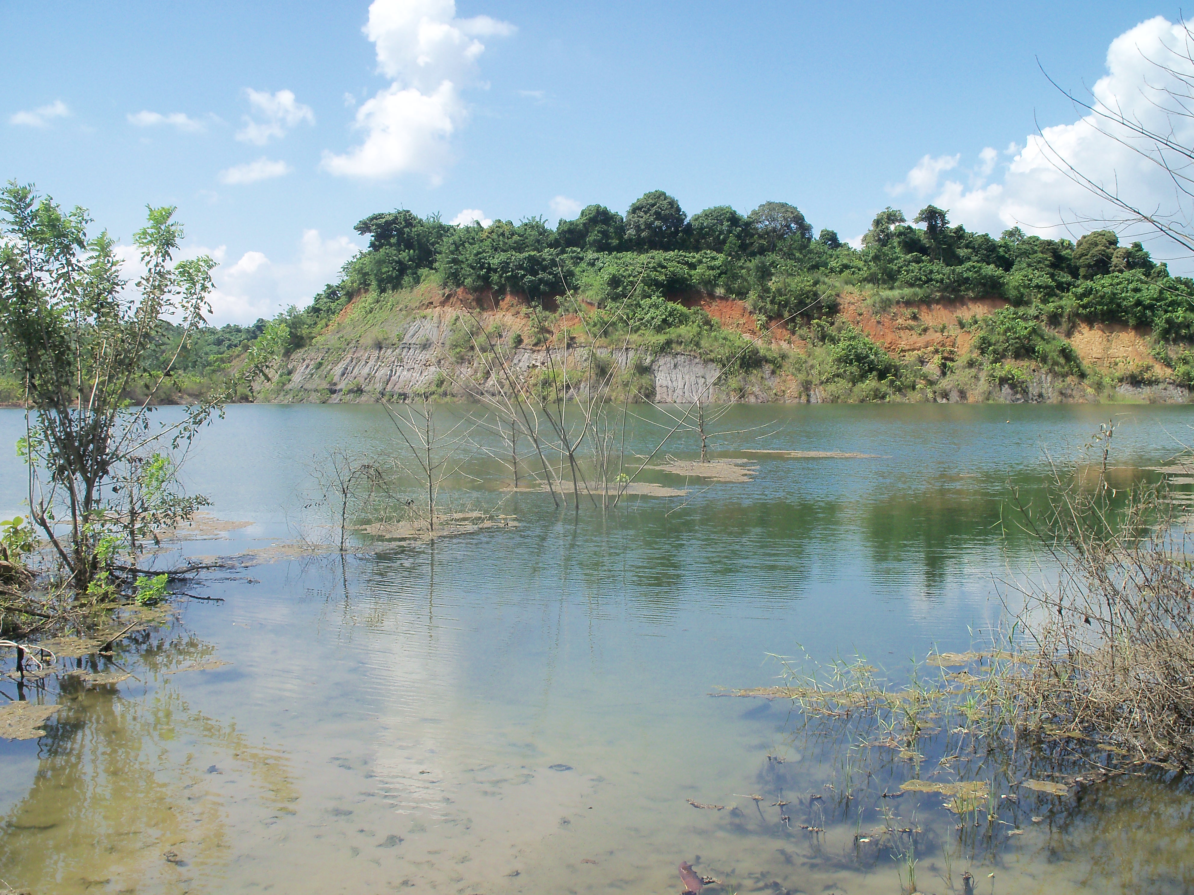
LidS Collection - Kabupaten Kutai Kartanegara
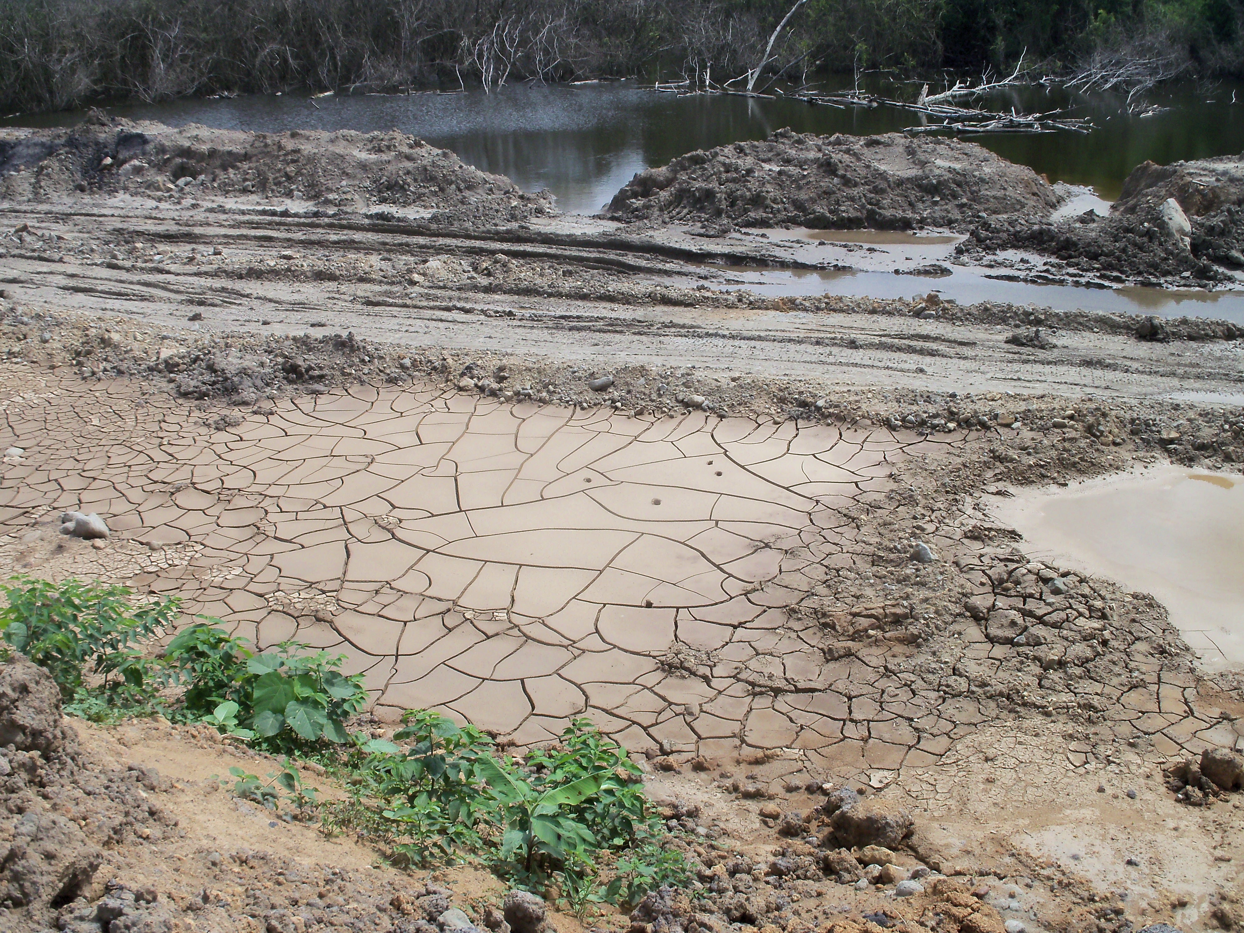
LidS Collection - Kabupaten Kutai Kartanegara
Topographic Map of Kutai Kartanegara Regency, East Kalimantan, Indonesia
Find elevation by address:

Places in Kutai Kartanegara Regency, East Kalimantan, Indonesia:
Places near Kutai Kartanegara Regency, East Kalimantan, Indonesia:
Recent Searches:
- Elevation of Tater Hill, Oklahoma, USA
- Elevation of NY-, Friendship, NY, USA
- Elevation of 64 Danakas Dr, Winnipeg, MB R2C 5N7, Canada
- Elevation of 4 Vale Rd, Sheffield S3 9QX, UK
- Elevation of Keene Point Drive, Keene Point Dr, Grant, AL, USA
- Elevation of State St, Zanesville, OH, USA
- Elevation of Austin Stone Dr, Haslet, TX, USA
- Elevation of Bydgoszcz, Poland
- Elevation of Bydgoszcz, Poland
- Elevation of Calais Dr, Del Mar, CA, USA