Elevation of Krokfossvegen 20, Bjoneroa, Norway
Location: Norway > Oppland > Gran >
Longitude: 10.2665638
Latitude: 60.5035617
Elevation: 274m / 899feet
Barometric Pressure: 98KPa
Elevation Map:
Satellite Map:
Related Photos:
Views from seat 10
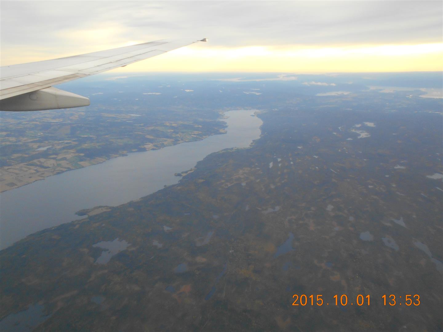
FLUG (8)
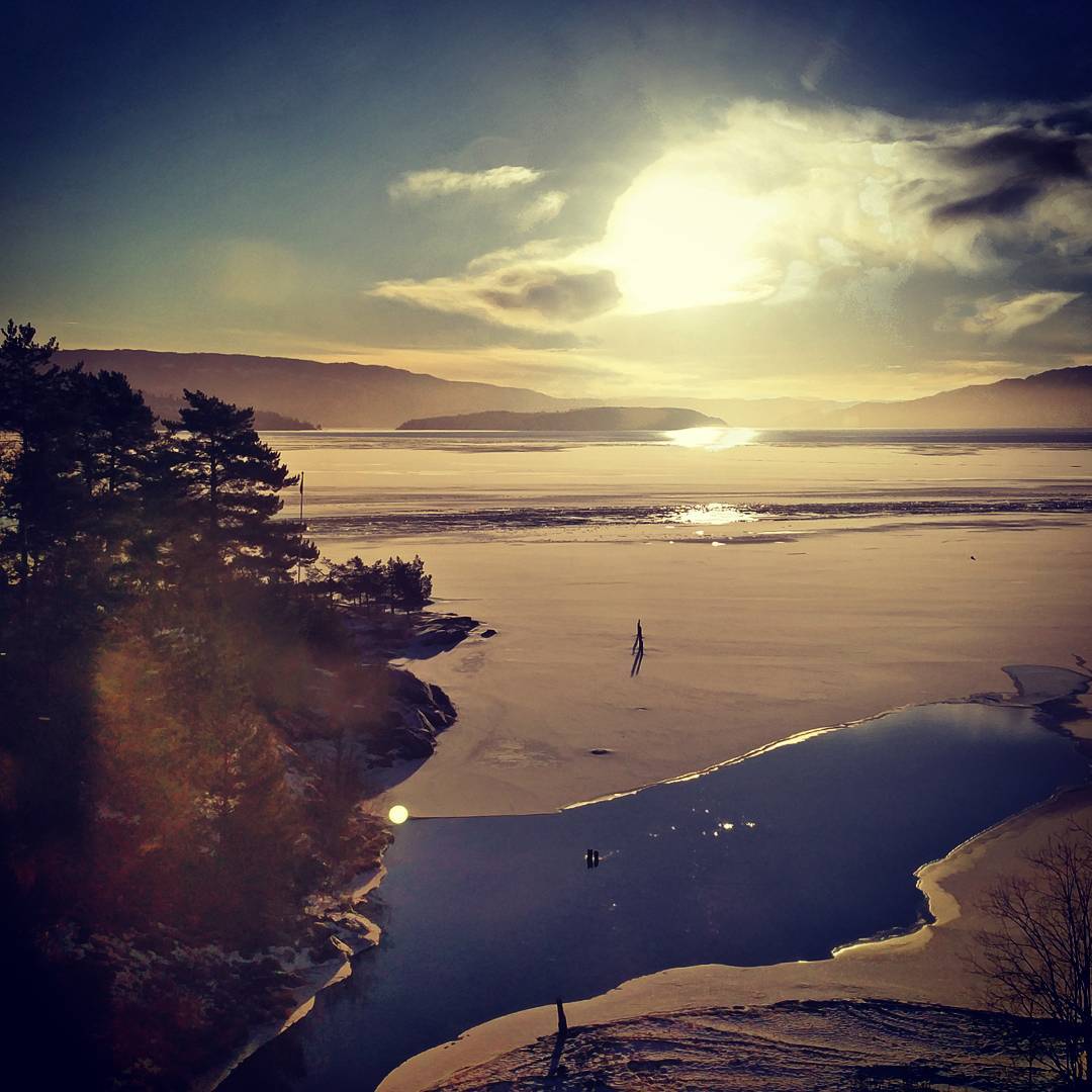
The Randsfjord lake - midway looking south - a 77km long lake
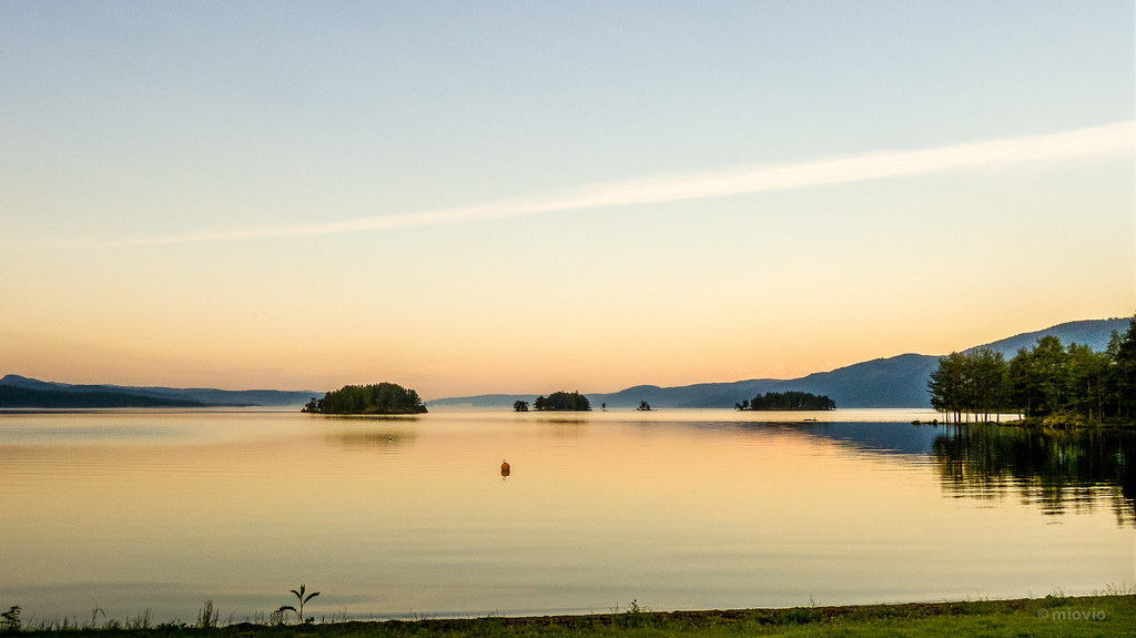
Randsfjorden at dawn

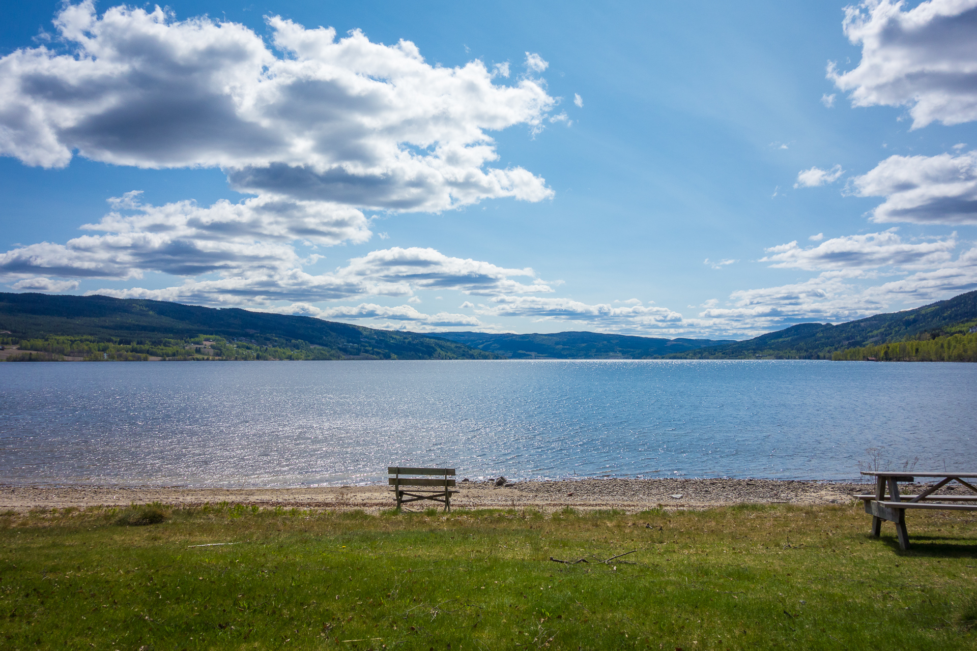
Yddin, Norway

Toverud kraftstasjon 5

Wheat in sunset

Kveldsbading på @juvente sin sommerleir :)

Taekwondo training outside

Norge 2012-35
Topographic Map of Krokfossvegen 20, Bjoneroa, Norway
Find elevation by address:

Places near Krokfossvegen 20, Bjoneroa, Norway:
Krokfossvegen 36, Bjoneroa, Norway
Krokfossvegen 44, Bjoneroa, Norway
Bjoneroa
Vestsidevegen, Bjoneroa, Norway
Hornslinna, Brandbu, Norway
Skåvegen 32, Brandbu, Norway
Hoppoppvegen, Eina, Norway
Eina
Vestre Toten
Snertingdalsvegen, Snertingdal, Norway
Raufoss
Gjøvik
Nordre Land Municipality
Hunnsvegen 25
Gjøvik
Gjøvik Stasjon
Brøttum
Nord Torpa
Trostrud - Freno As
Lillehammer Skysstasjon
Recent Searches:
- Elevation of Dog Leg Dr, Minden, NV, USA
- Elevation of Dog Leg Dr, Minden, NV, USA
- Elevation of Kambingan Sa Pansol Atbp., Purok 7 Pansol, Candaba, Pampanga, Philippines
- Elevation of Pinewood Dr, New Bern, NC, USA
- Elevation of Mountain View, CA, USA
- Elevation of Foligno, Province of Perugia, Italy
- Elevation of Blauwestad, Netherlands
- Elevation of Bella Terra Blvd, Estero, FL, USA
- Elevation of Estates Loop, Priest River, ID, USA
- Elevation of Woodland Oak Pl, Thousand Oaks, CA, USA