Elevation map of Kota, Rajasthan, India
Location: India > Rajasthan >
Longitude: 75.9927652
Latitude: 25.0869886
Elevation: 259m / 850feet
Barometric Pressure: 98KPa
Elevation Map:
Satellite Map:
Related Photos:

Andleeb Jain

Jyo medha

Chilled as ice... 9°c... Get your hoodies nd jackets... 4 am the best time to get here... #SelfieAddicts #IndianRailways #BrothersForLife #HeLooksUncle #ForgiveHim #WinterChilled #kbye
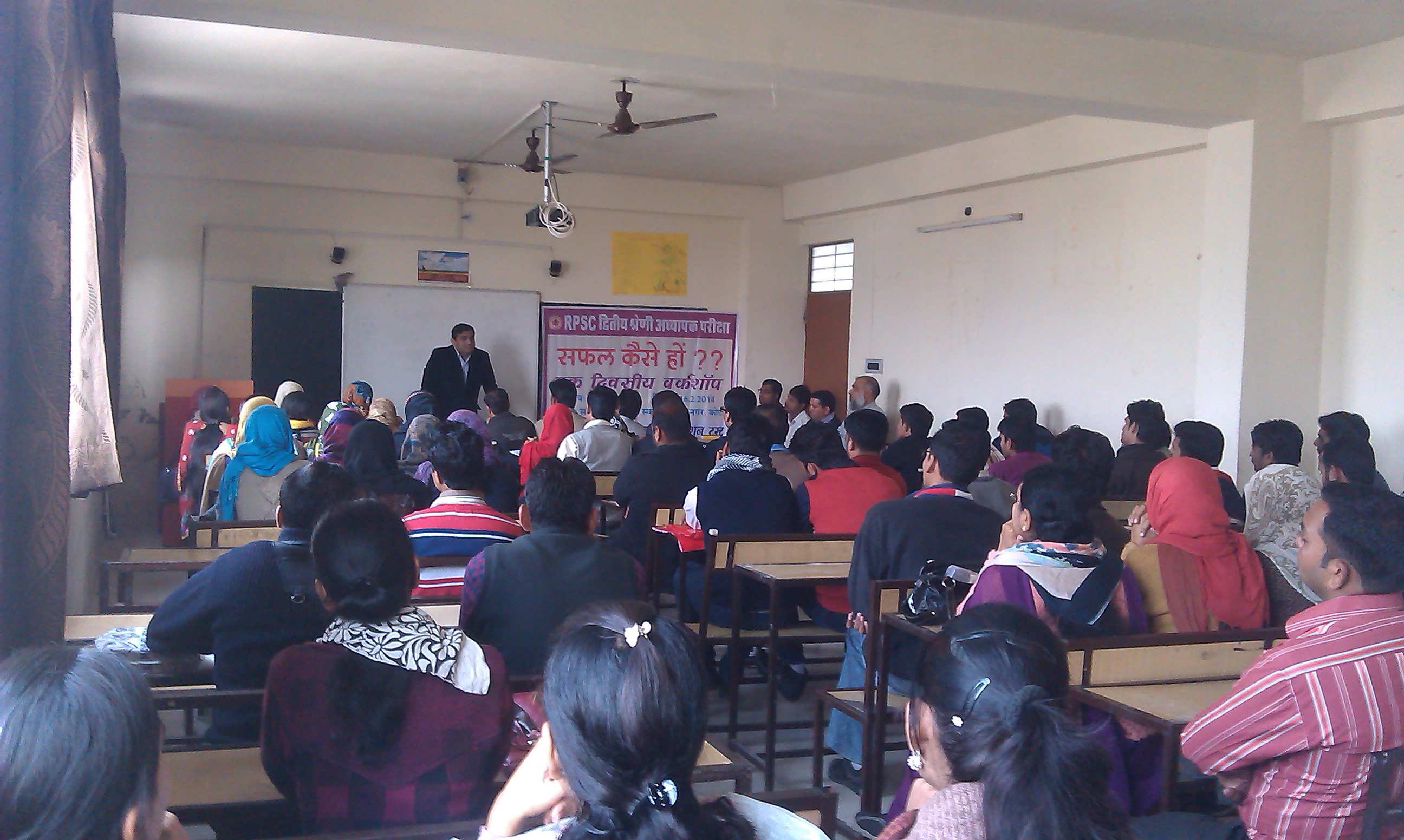
Workshop on UPSC examinations in Kota
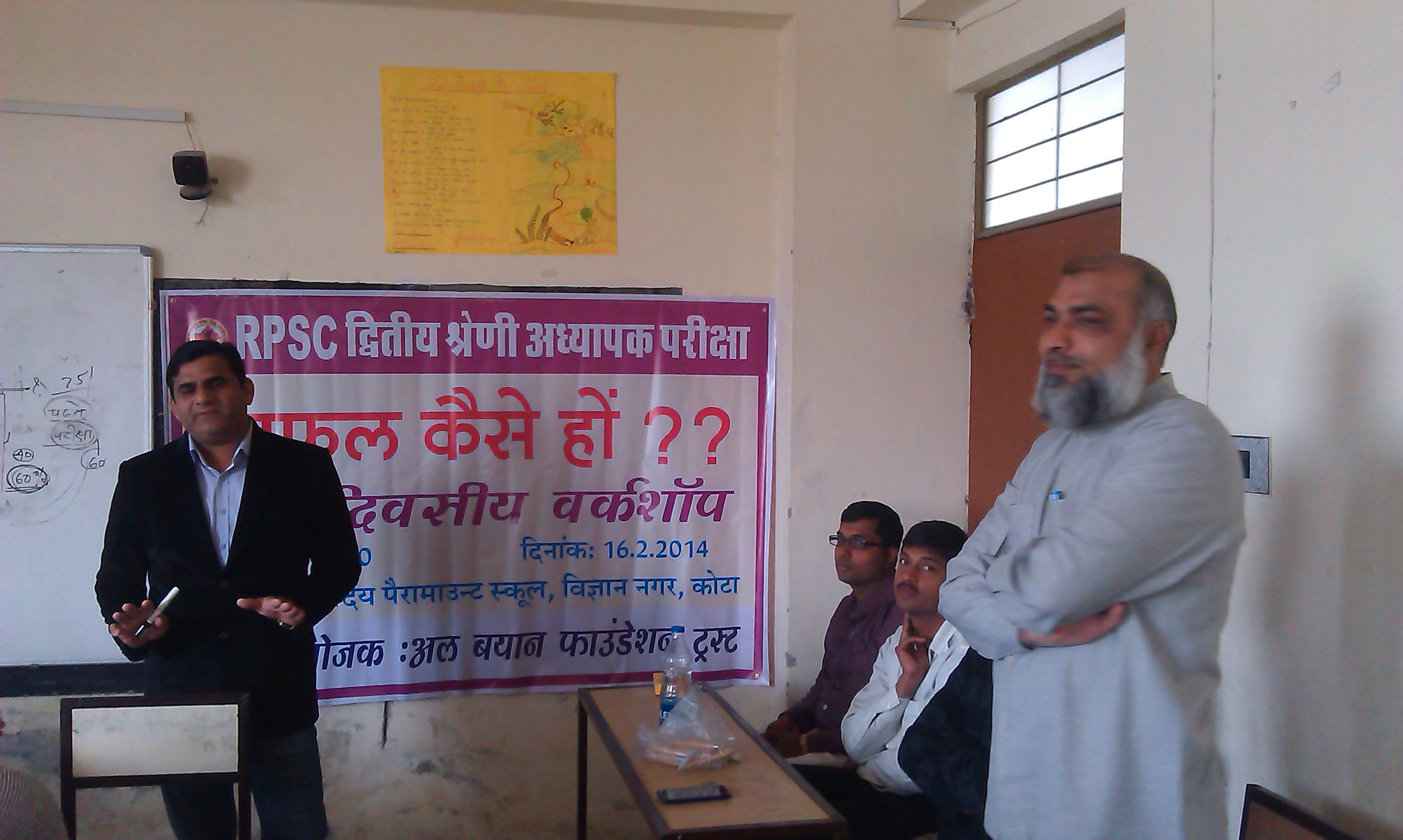
Workshop on UPSC examinations in Kota

New Bike

Tea Break

A look toward light from darkness.
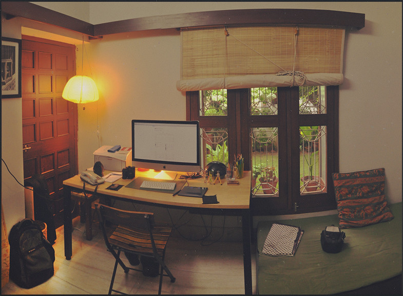
Work Space
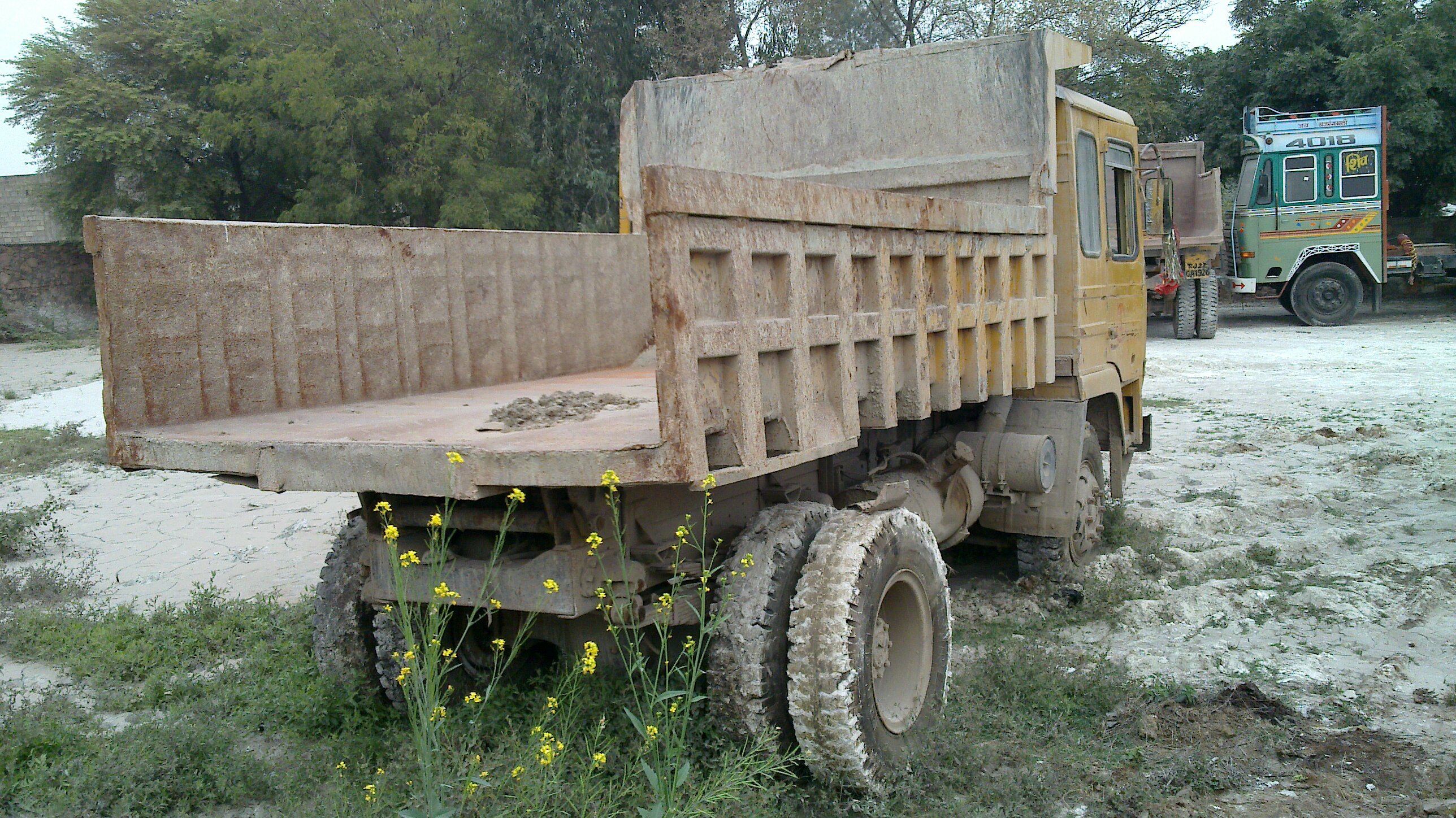
Dumper Hunting
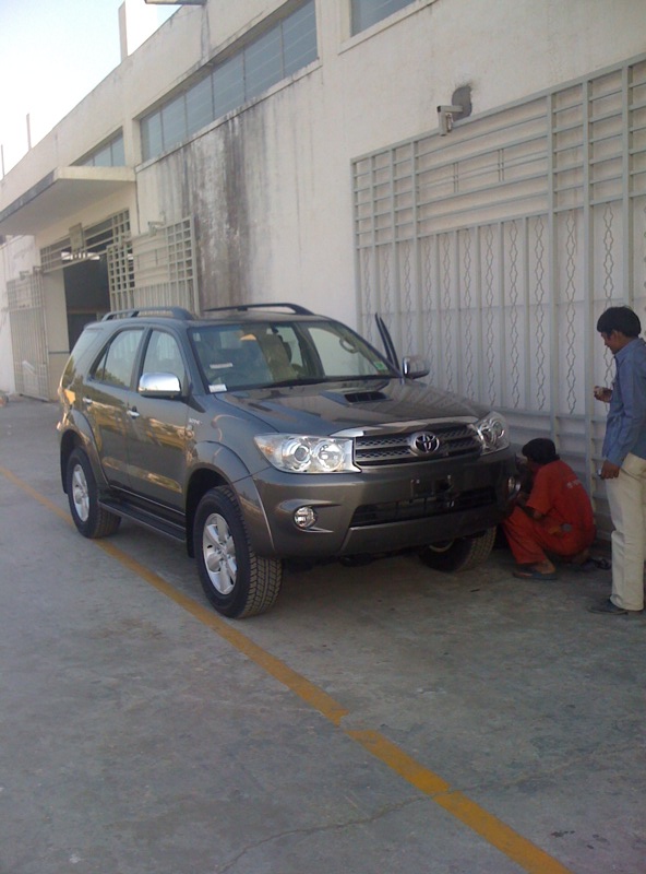
My Fortuner getting final touch
Topographic Map of Kota, Rajasthan, India
Find elevation by address:

Places in Kota, Rajasthan, India:
Places near Kota, Rajasthan, India:
Ramganj Mandi
Southern Asia
Jhalawar
Jhalrapatan
Ameta
Jhalawar
Unnamed Road
Bhagora
Jirapur
Susner
Manohar Thana
Khilchipur
Rajgarh
Guna
Biaora
Recent Searches:
- Elevation of Elwyn Dr, Roanoke Rapids, NC, USA
- Elevation of Congressional Dr, Stevensville, MD, USA
- Elevation of Bellview Rd, McLean, VA, USA
- Elevation of Stage Island Rd, Chatham, MA, USA
- Elevation of Shibuya Scramble Crossing, 21 Udagawacho, Shibuya City, Tokyo -, Japan
- Elevation of Jadagoniai, Kaunas District Municipality, Lithuania
- Elevation of Pagonija rock, Kranto 7-oji g. 8"N, Kaunas, Lithuania
- Elevation of Co Rd 87, Jamestown, CO, USA
- Elevation of Tenjo, Cundinamarca, Colombia
- Elevation of Côte-des-Neiges, Montreal, QC H4A 3J6, Canada