Elevation of Korgon, Kyrgyzstan
Location: Kyrgyzstan >
Longitude: 69.9356784
Latitude: 39.8883513
Elevation: 1057m / 3468feet
Barometric Pressure: 89KPa
Elevation Map:
Satellite Map:
Related Photos:
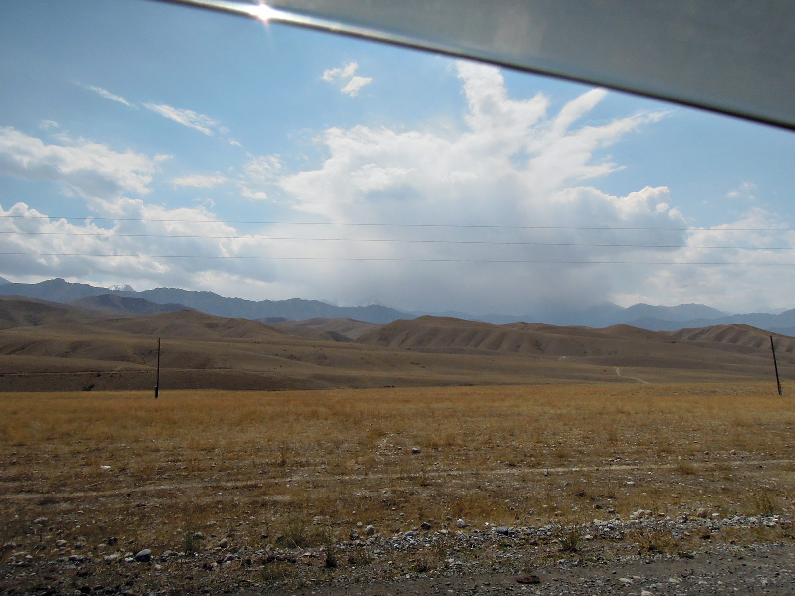
Ein Fünftausender der Turkestan-Kette versteckt sich in Wolken.
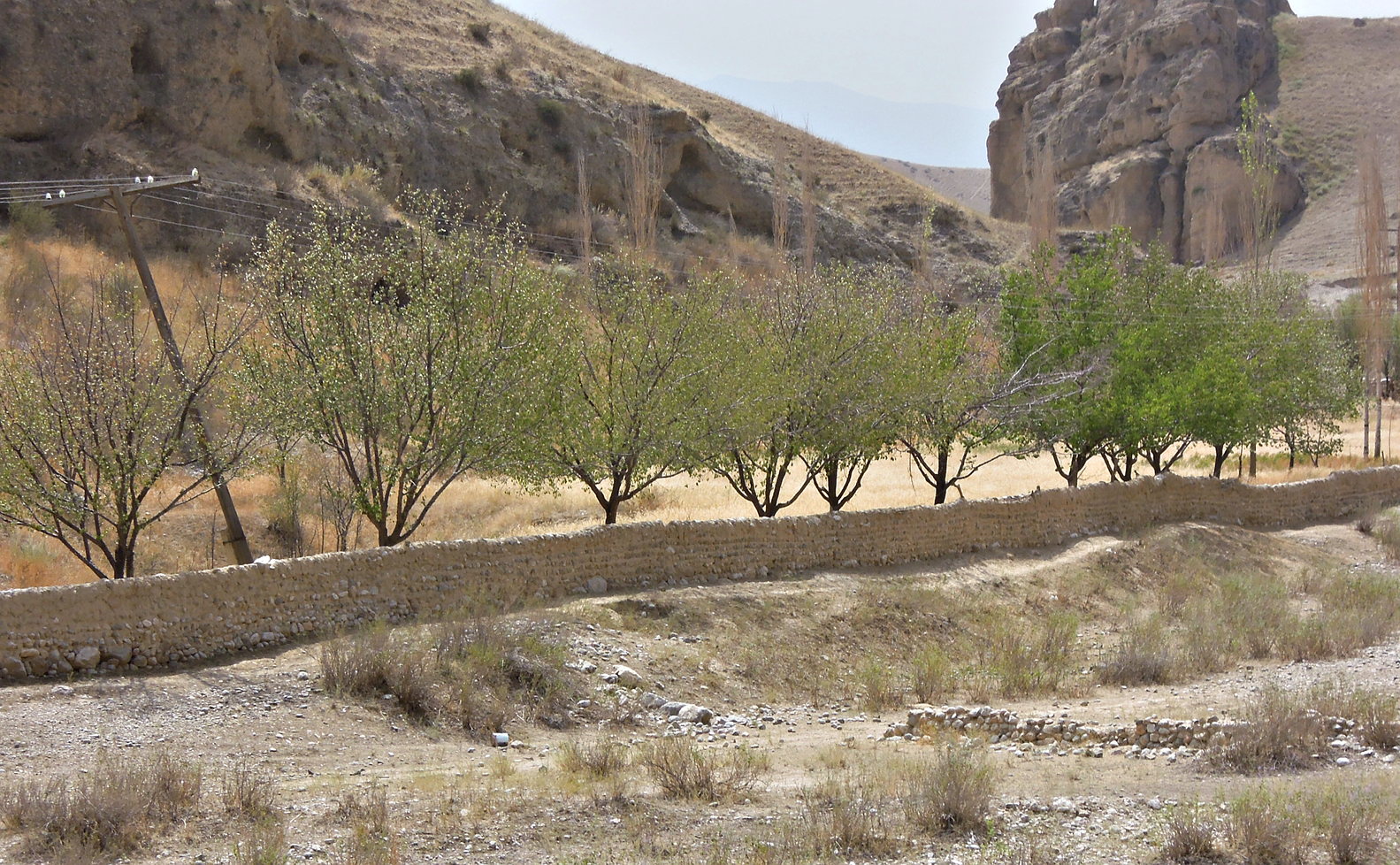
Flußtal im Sandstein
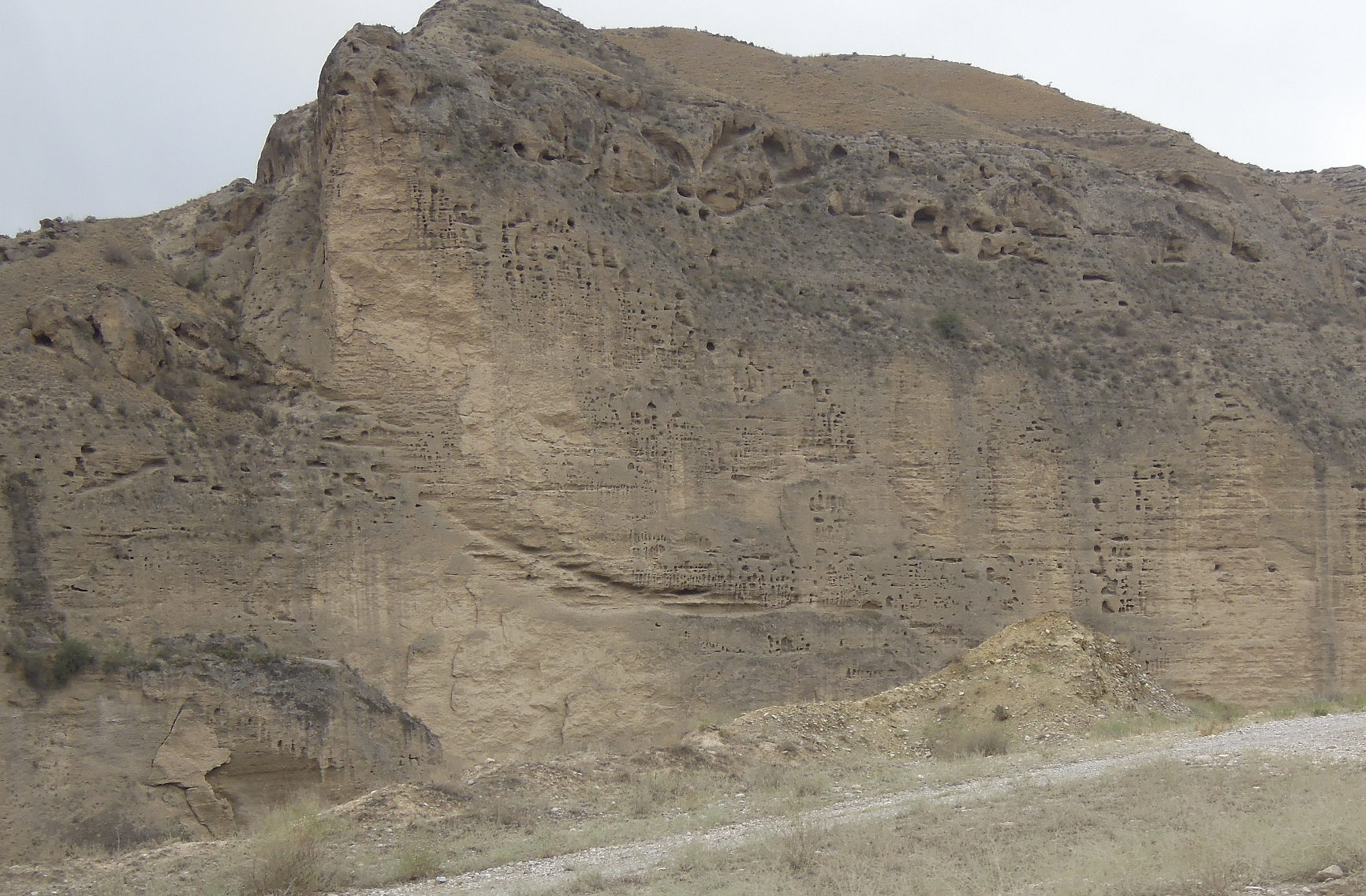
markanter, erodierter Sandsteinfelsen in Flußtal
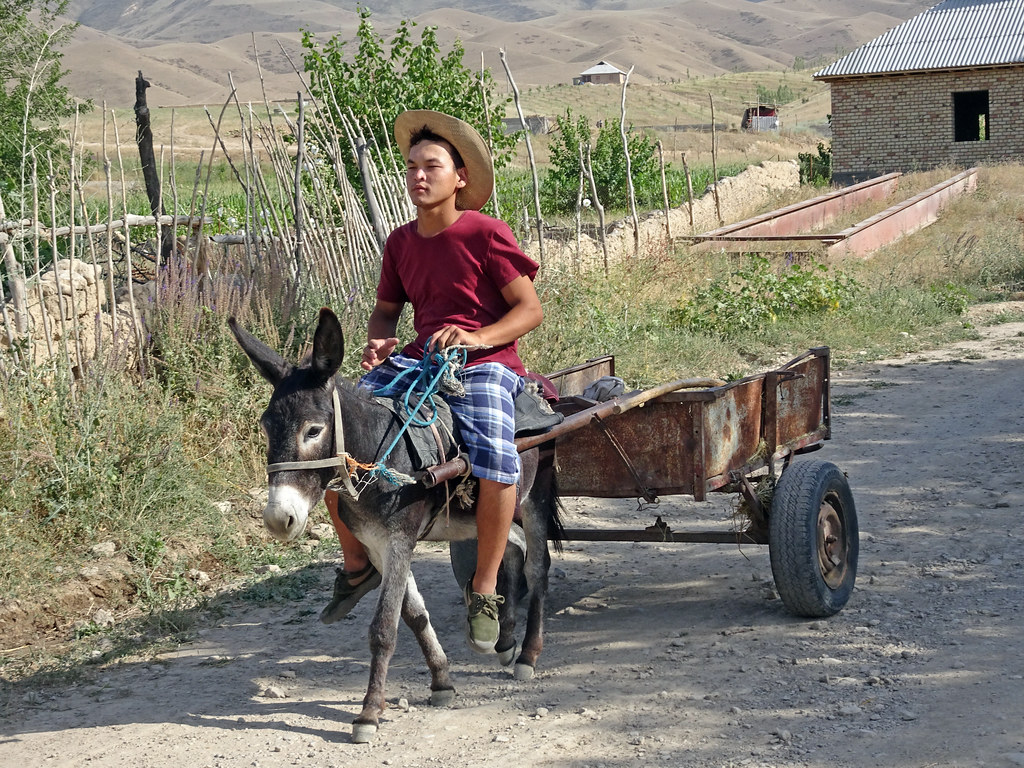
KY18_1028 Country life in the foothills ....

KY18_1027 Wild Flowers
Topographic Map of Korgon, Kyrgyzstan
Find elevation by address:

Places near Korgon, Kyrgyzstan:
Recent Searches:
- Elevation of Woodland Oak Pl, Thousand Oaks, CA, USA
- Elevation of Brownsdale Rd, Renfrew, PA, USA
- Elevation of Corcoran Ln, Suffolk, VA, USA
- Elevation of Mamala II, Sariaya, Quezon, Philippines
- Elevation of Sarangdanda, Nepal
- Elevation of 7 Waterfall Way, Tomball, TX, USA
- Elevation of SW 57th Ave, Portland, OR, USA
- Elevation of Crocker Dr, Vacaville, CA, USA
- Elevation of Pu Ngaol Community Meeting Hall, HWHM+3X7, Krong Saen Monourom, Cambodia
- Elevation of Royal Ontario Museum, Queens Park, Toronto, ON M5S 2C6, Canada