Elevation of Koratagere, Karnataka, India
Location: India > Karnataka > Tumkur >
Longitude: 77.2376414
Latitude: 13.5239755
Elevation: 758m / 2487feet
Barometric Pressure: 93KPa
Elevation Map:
Satellite Map:
Related Photos:

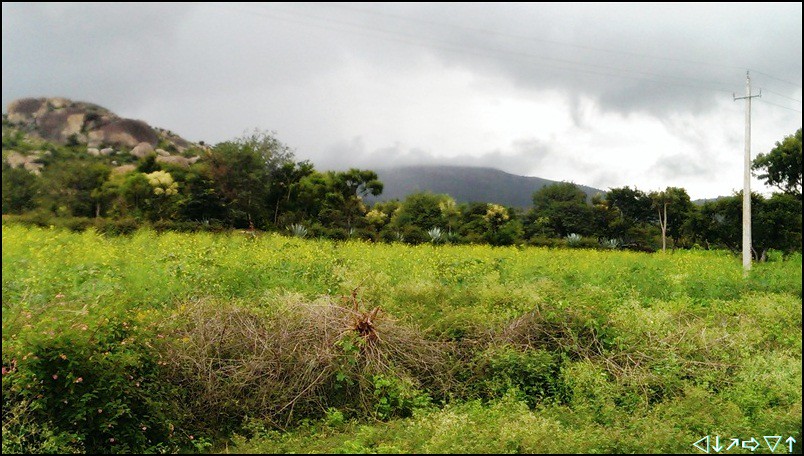
View from Madhugiri fort
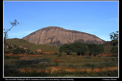
Monolith wonder

Ganesha Festival

Stones in Macro
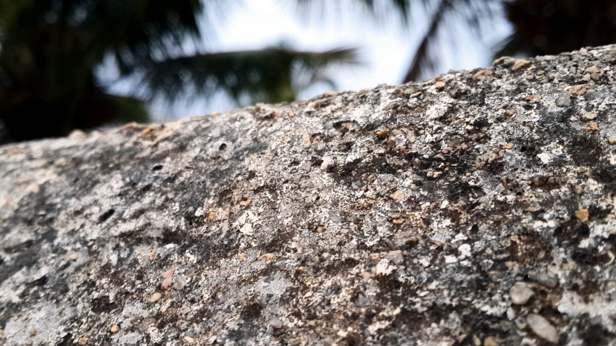
Stones in Macro

Stones in Macro
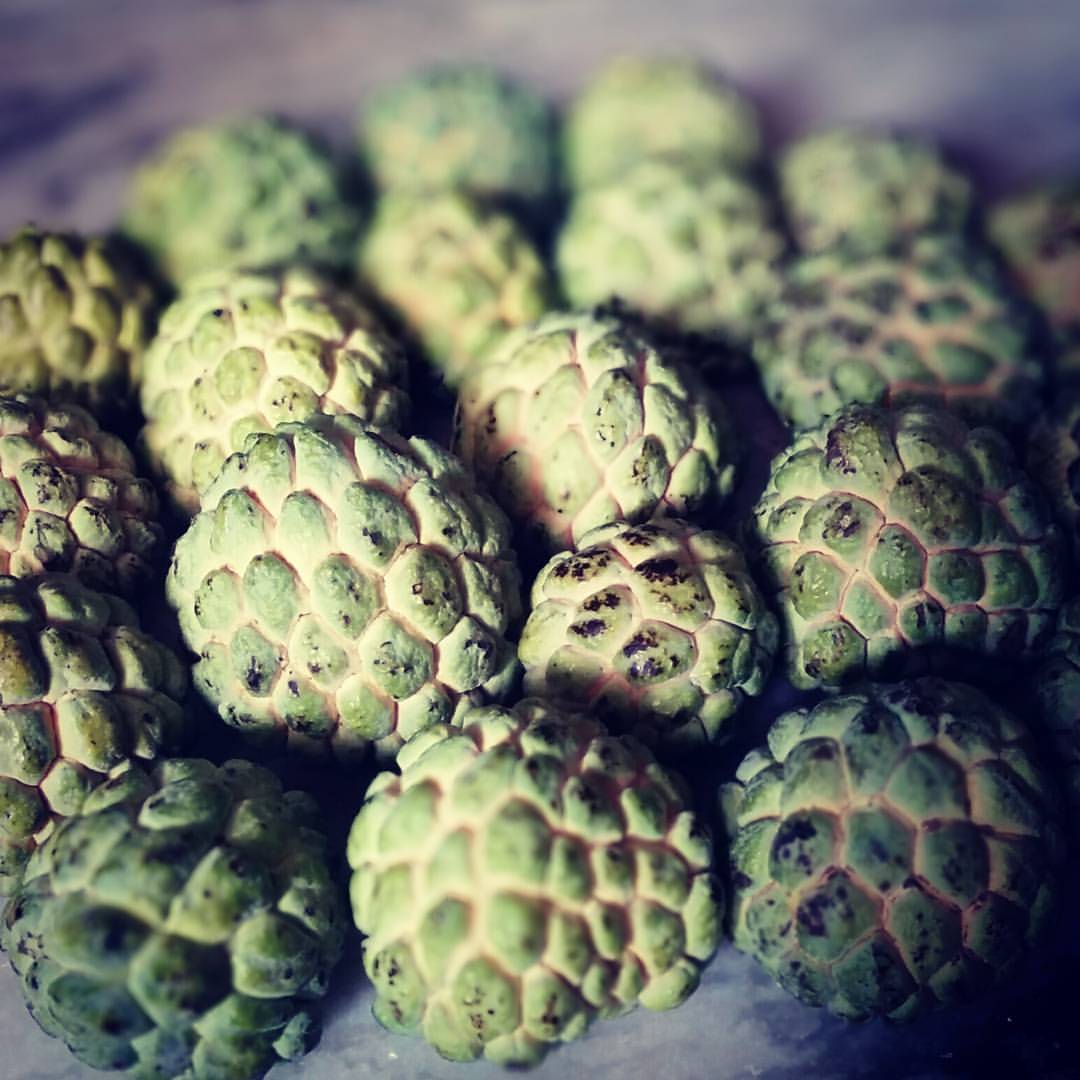
Day 198: Catch of the Day #project365

Day 80 : Lighting Up the Night #project365 #WithTheWife
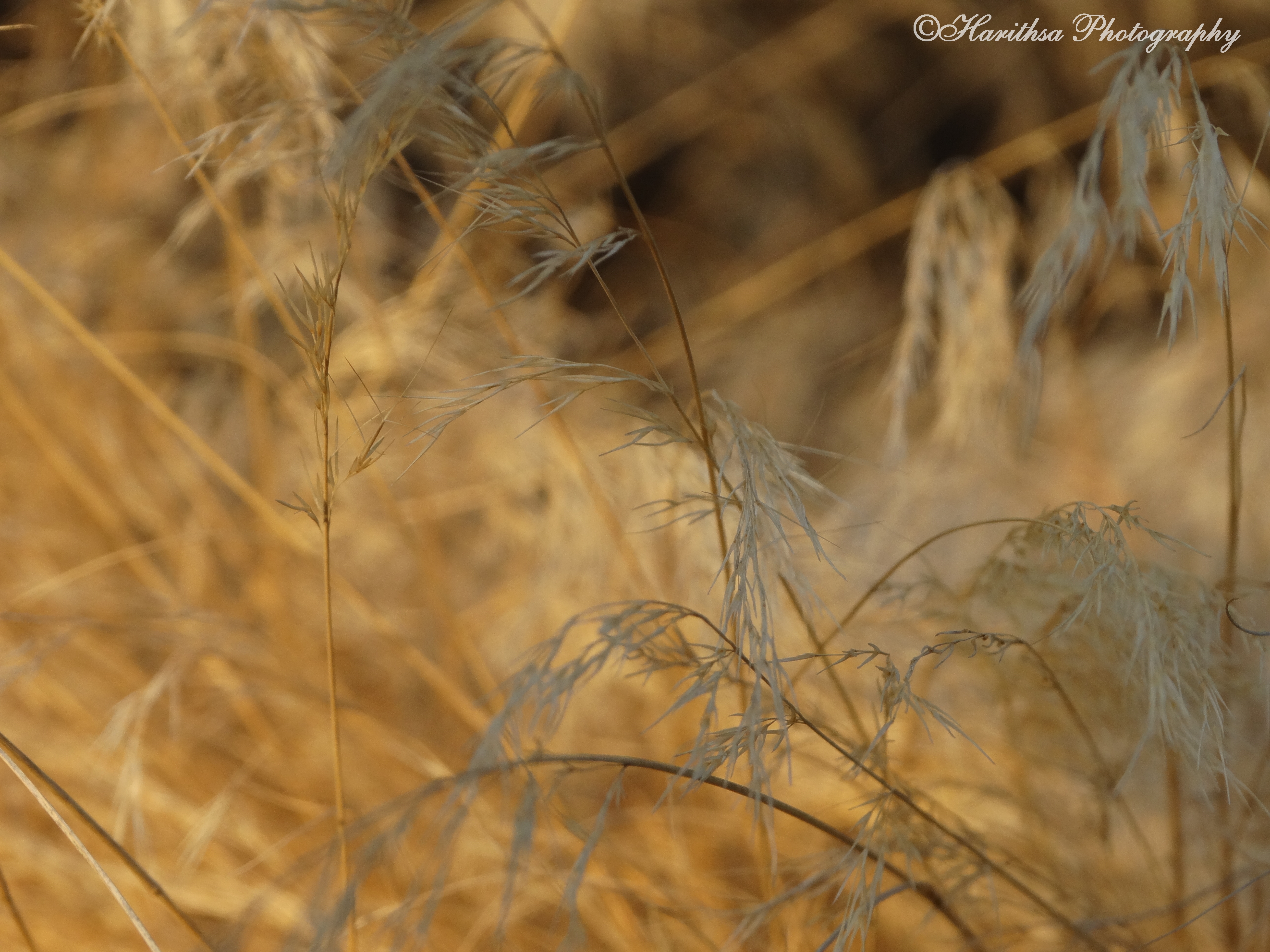
Golden Stills
madhugiri fort - bangalore
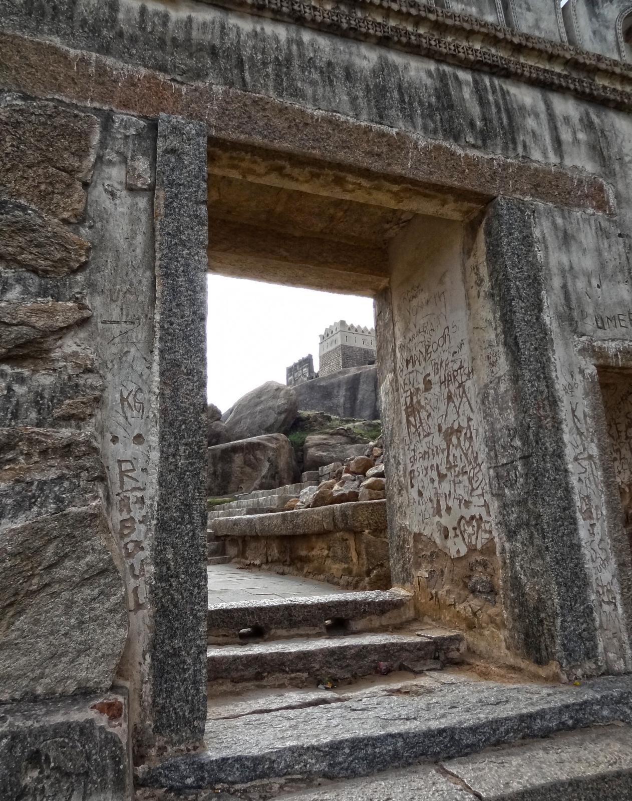
Entering the fort premise
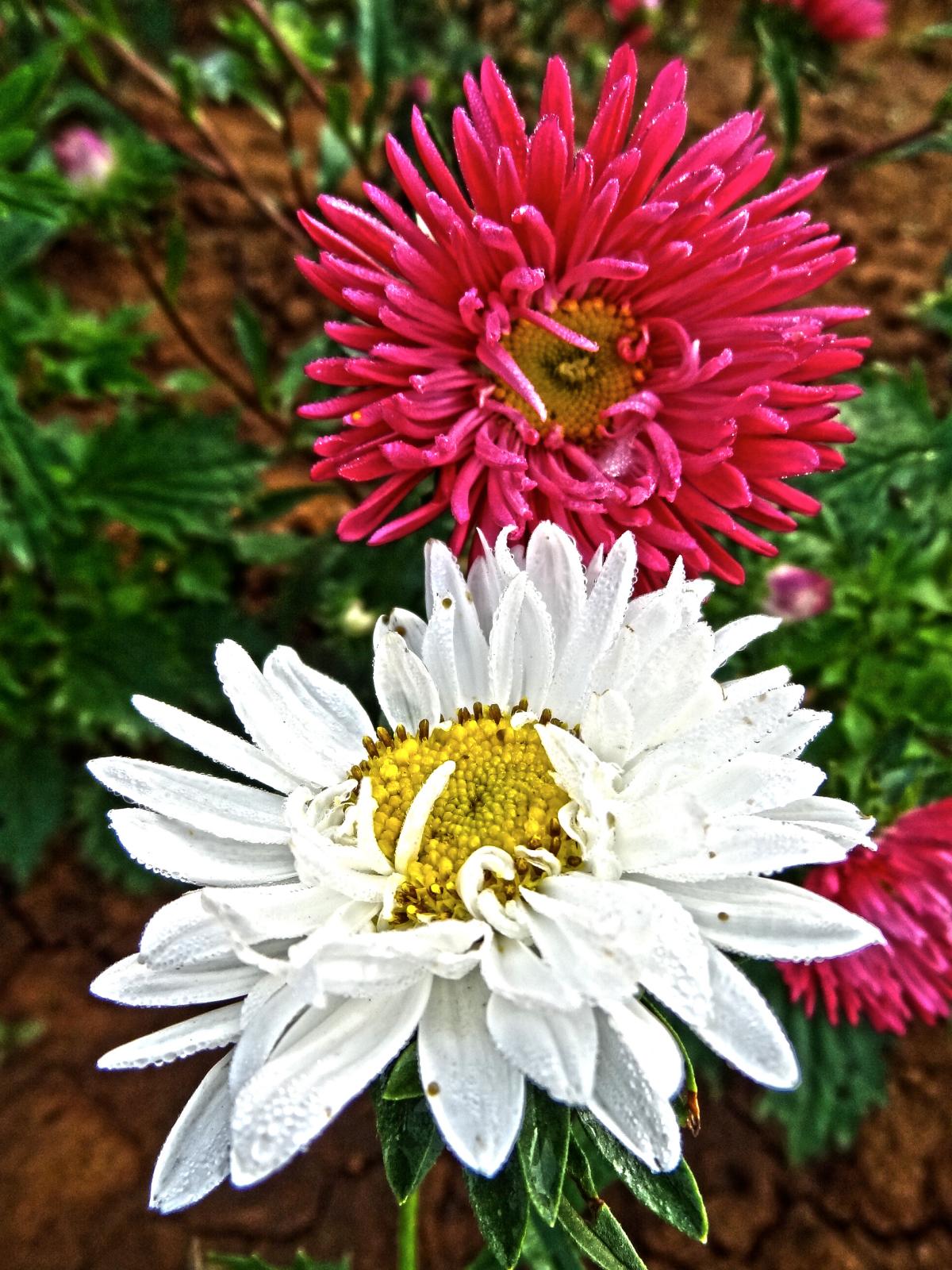
Flower field
Topographic Map of Koratagere, Karnataka, India
Find elevation by address:

Places near Koratagere, Karnataka, India:
Bommanahalli
Madhugiri
Tumakuru
Sadashivanagar
Obalapura
Shivagange
Sira
Deccan
Savandurga Hill
Savandurga Fort
Savanadurga State Forest
Tumkur
Bangalore Division
Mayasandra
Sriramanuja Residency
Bellur Cross
Hiriyur
Shreerampura Road
Shreerampura Road
Shreerampura Road
Recent Searches:
- Elevation of Felindre, Swansea SA5 7LU, UK
- Elevation of Leyte Industrial Development Estate, Isabel, Leyte, Philippines
- Elevation of W Granada St, Tampa, FL, USA
- Elevation of Pykes Down, Ivybridge PL21 0BY, UK
- Elevation of Jalan Senandin, Lutong, Miri, Sarawak, Malaysia
- Elevation of Bilohirs'k
- Elevation of 30 Oak Lawn Dr, Barkhamsted, CT, USA
- Elevation of Luther Road, Luther Rd, Auburn, CA, USA
- Elevation of Unnamed Road, Respublika Severnaya Osetiya — Alaniya, Russia
- Elevation of Verkhny Fiagdon, North Ossetia–Alania Republic, Russia