Elevation map of Kootenay Boundary E, BC V0H, Canada
Location: Canada > British Columbia > Kootenay Boundary >
Longitude: -118.94213
Latitude: 49.4040989
Elevation: 1035m / 3396feet
Barometric Pressure: 89KPa
Elevation Map:
Satellite Map:
Related Photos:
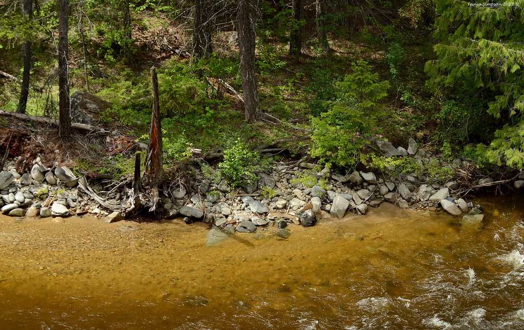
At Rivers Edge

1210 East Kettle River
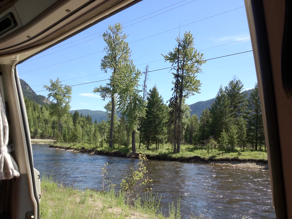
Get on the Doc Bus
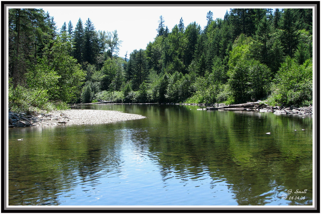
1052 Kettle River
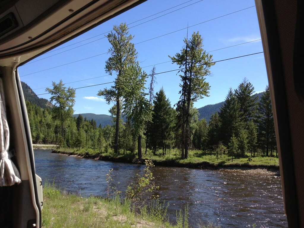
Get on the Doc Bus
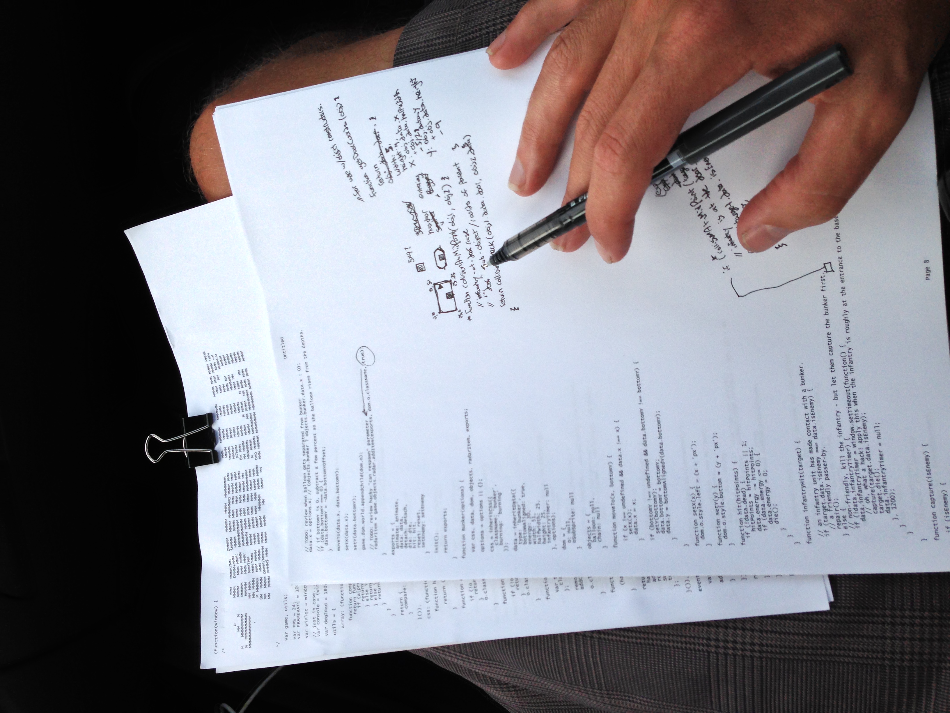
On the road with the code
And espresso!
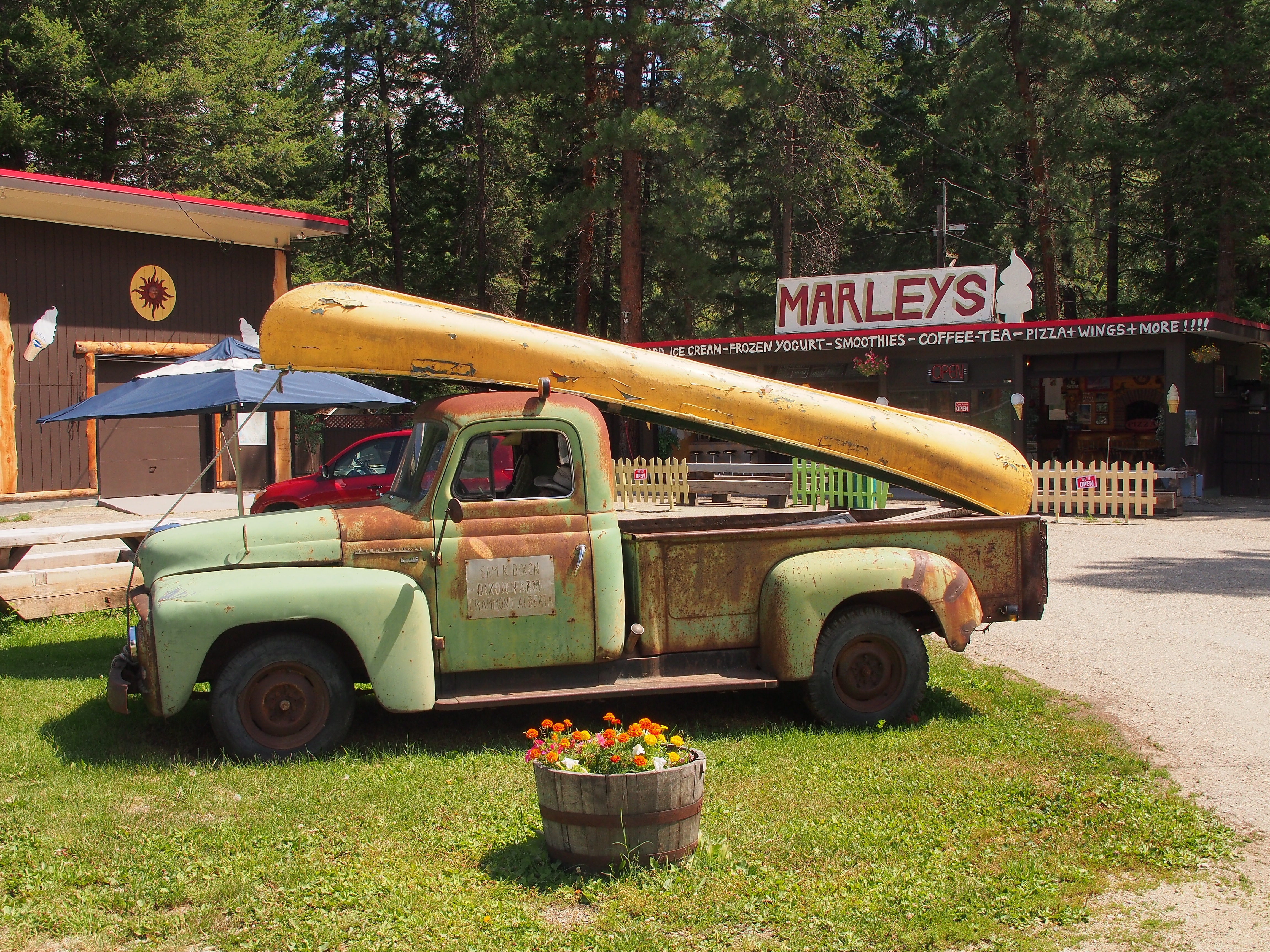
Marley's

BeaverDell, BC on Hwy 33
DSC_0043-2
Topographic Map of Kootenay Boundary E, BC V0H, Canada
Find elevation by address:

Places in Kootenay Boundary E, BC V0H, Canada:
Places near Kootenay Boundary E, BC V0H, Canada:
6055 Christian Valley Rd
6055 Christian Valley Rd
5855 Christian Valley Rd
5855 Christian Valley Rd
3260 Christian Valley Rd
Beaverdell
60 Smoker Rd
Carmi
5 Dale Ave, Beaverdell, BC V0H 1A0, Canada
4789 Snow Pines Way
Big White Ski Resort
Big White Mountain
Big White Road
Kootenay Boundary
Kettle River
Okanagan Valley, Bc
Idabel Lake
Idabel Lake Resort
North Forks Road
Three Forks Road
Recent Searches:
- Elevation of East W.T. Harris Boulevard, E W.T. Harris Blvd, Charlotte, NC, USA
- Elevation of West Sugar Creek, Charlotte, NC, USA
- Elevation of Wayland, NY, USA
- Elevation of Steadfast Ct, Daphne, AL, USA
- Elevation of Lagasgasan, X+CQH, Tiaong, Quezon, Philippines
- Elevation of Rojo Ct, Atascadero, CA, USA
- Elevation of Flagstaff Drive, Flagstaff Dr, North Carolina, USA
- Elevation of Avery Ln, Lakeland, FL, USA
- Elevation of Woolwine, VA, USA
- Elevation of Lumagwas Diversified Farmers Multi-Purpose Cooperative, Lumagwas, Adtuyon, RV32+MH7, Pangantucan, Bukidnon, Philippines