Elevation of Kool Adventure Camp Inc., KM 42 Cebu Transcentral Hwy, Balamban, Cebu, Philippines
Location: Philippines > Central Visayas > Cebu > Balamban >
Longitude: 123.761679
Latitude: 10.478442
Elevation: 220m / 722feet
Barometric Pressure: 99KPa
Elevation Map:
Satellite Map:
Related Photos:
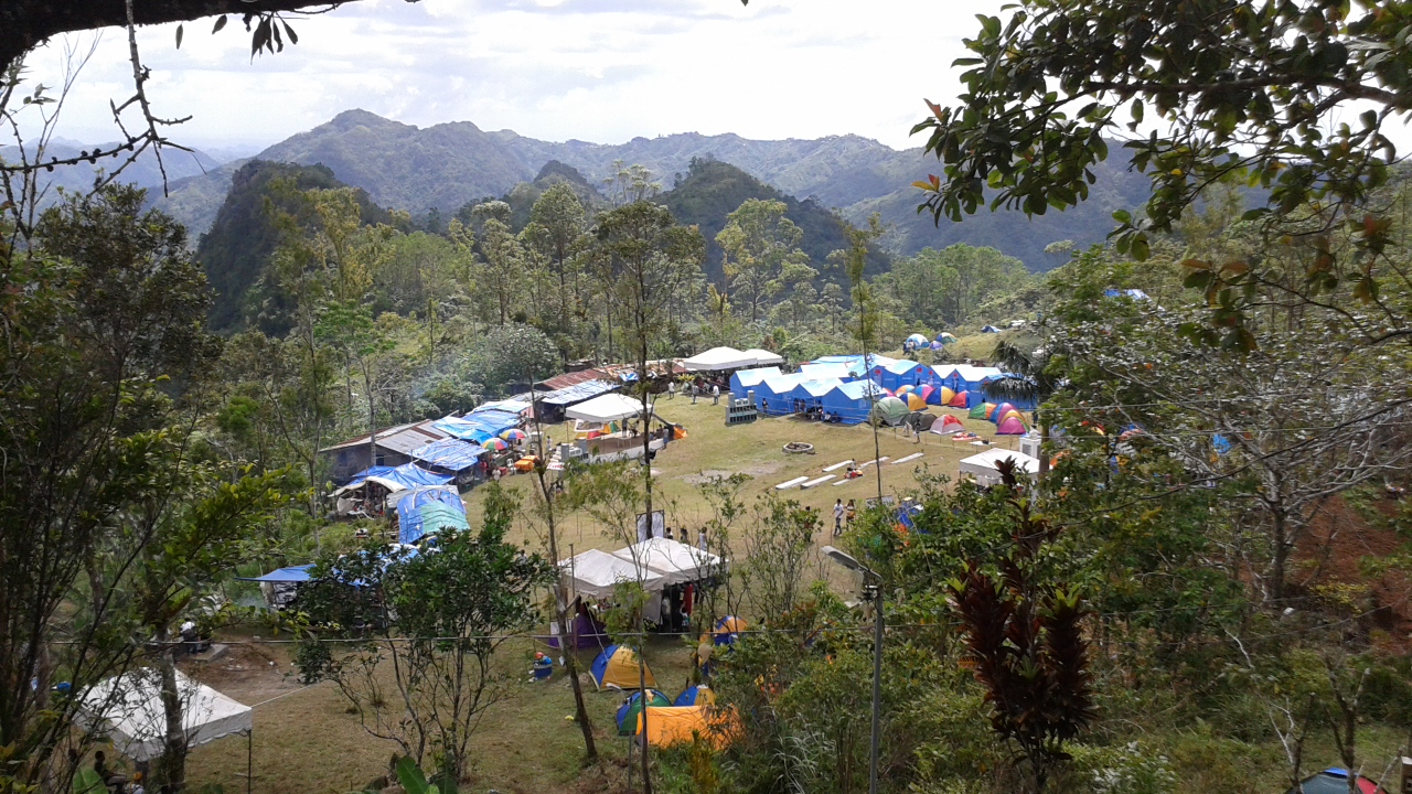
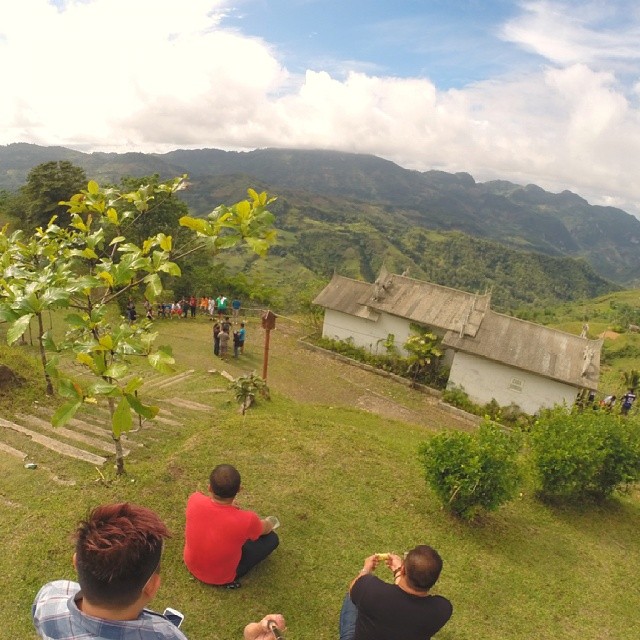
View from the chapel near the camping grounds
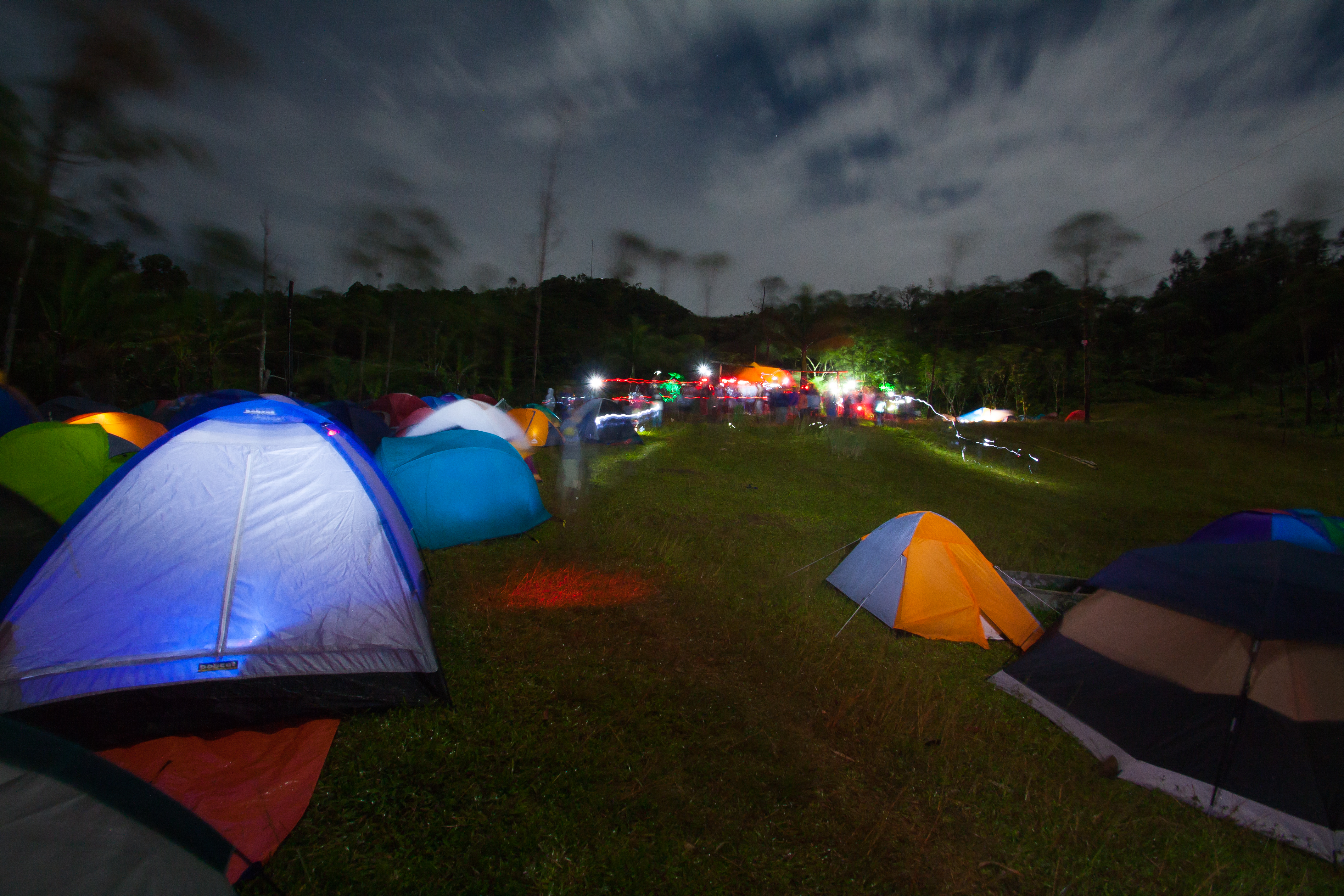
12th Annual Lunatrek at Mt. Manunggal

A tree!
When you're too bored with your mornings ????

The sun's rise

Arji & Ara 1

12th annual Lunatrek at Mt. Manunggal

Happy Valentine's Day everyone! ????❤️???? #cedieTravels #Cebu
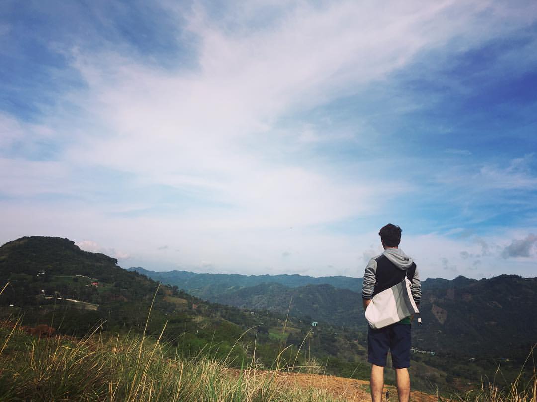
Top man
laidback afternoon #transcentral #cebu #bear #bears #bonding #friends #laidback

North of Cebu Captured
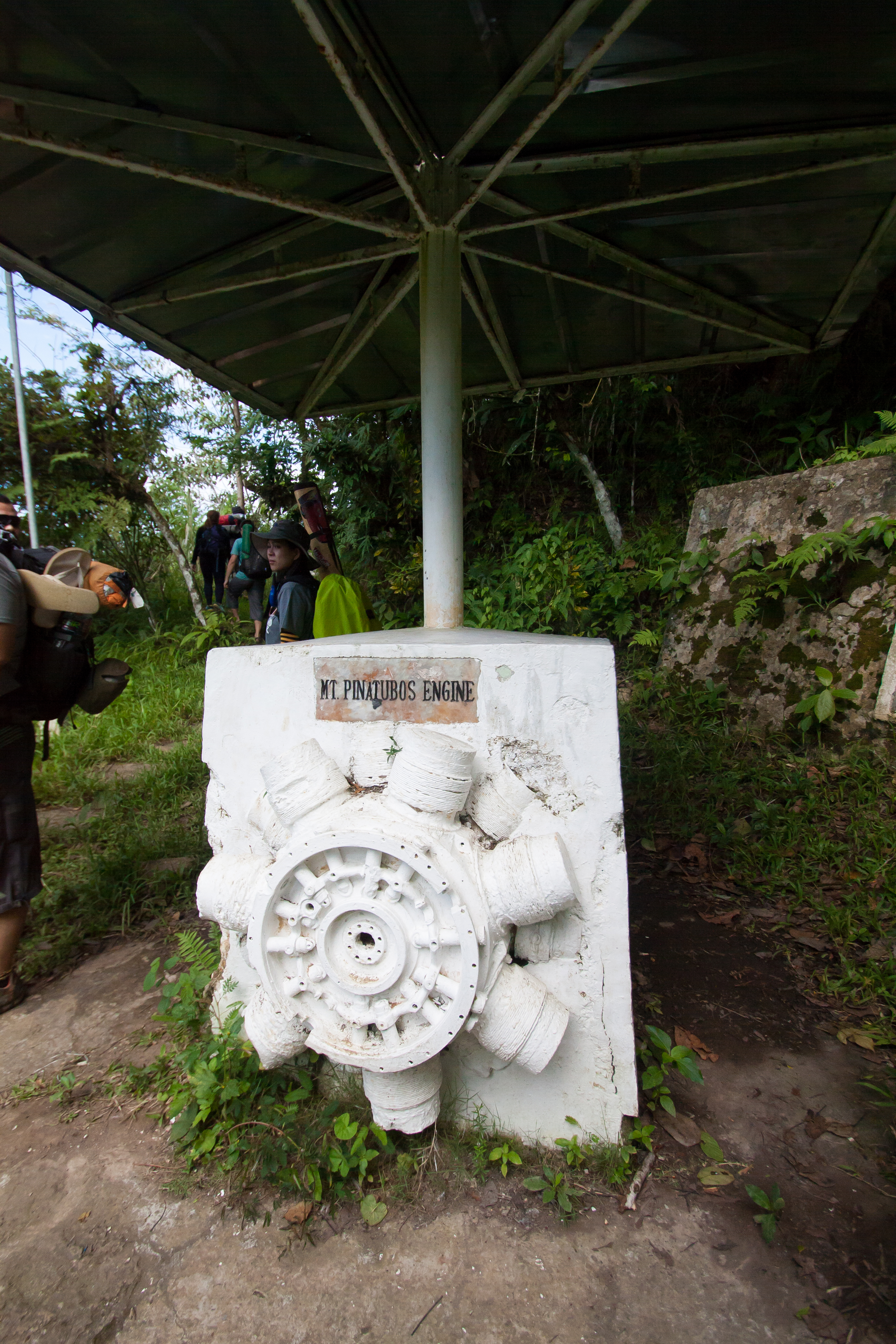
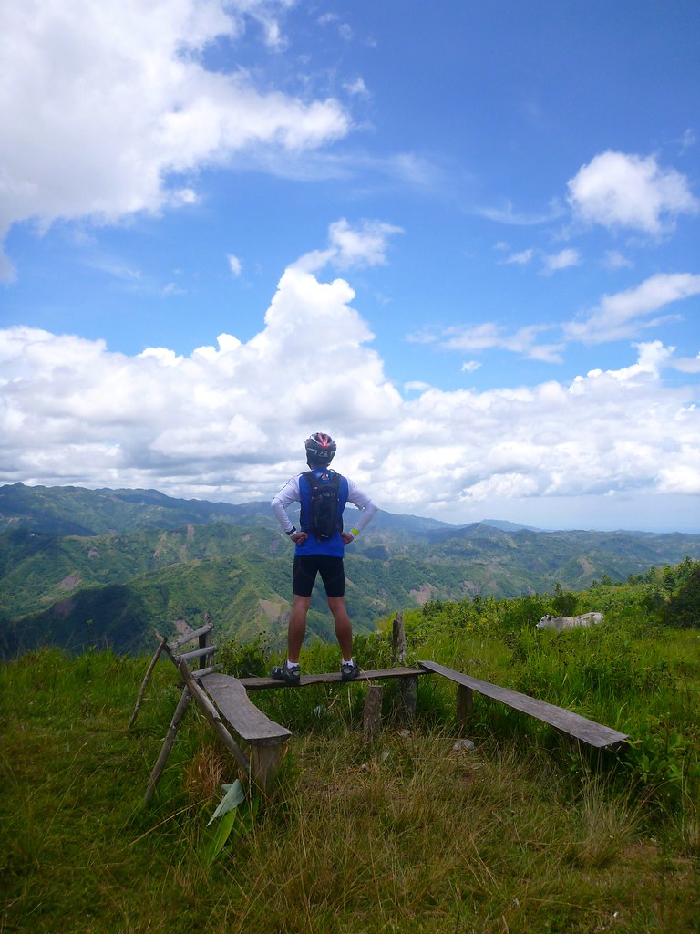
Mt.Pinatubo Engine - Mt. Manunggal
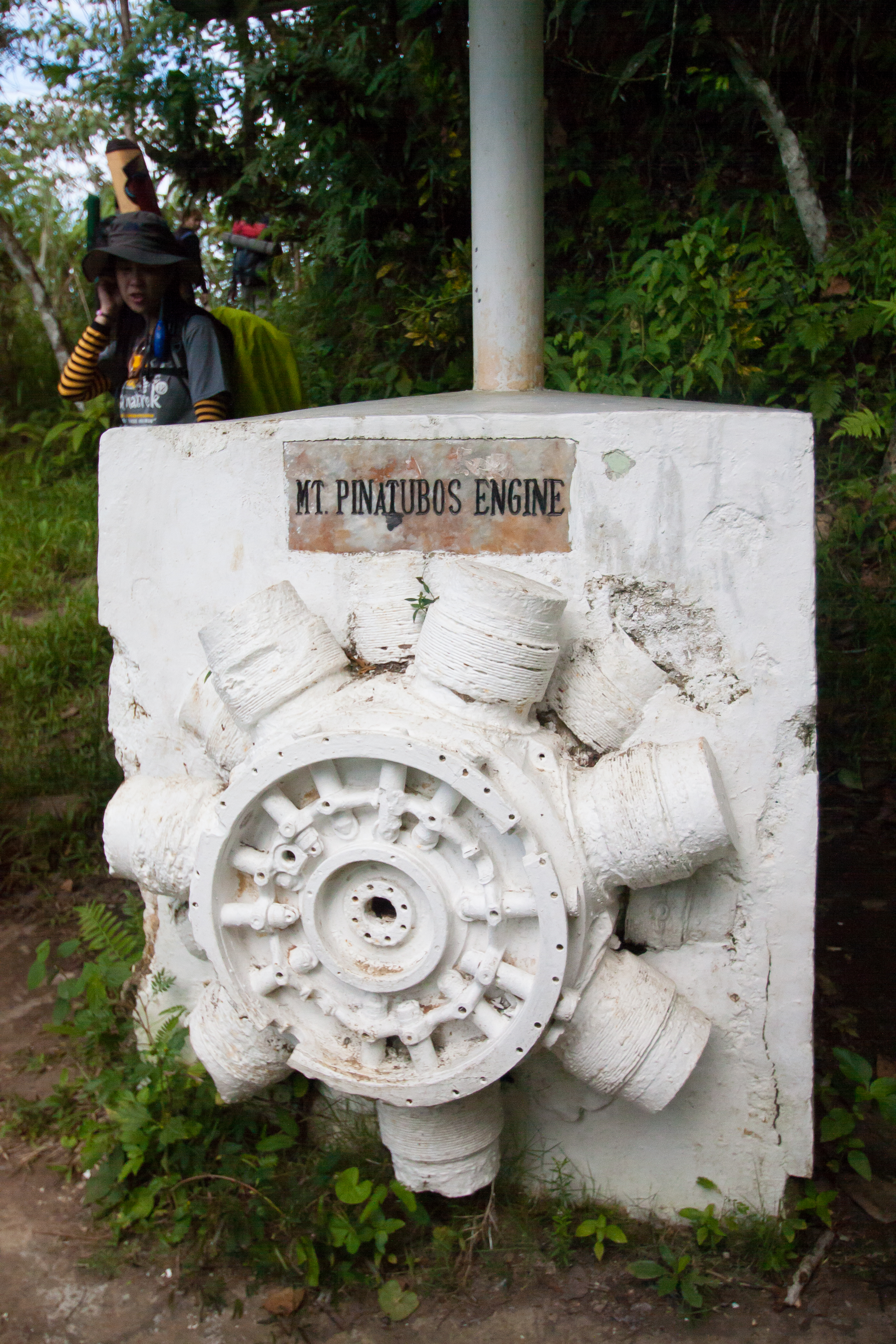
Mt.Pinatubo Engine - Mt. Manunggal

Reminds me of a milk commercial.
Topographic Map of Kool Adventure Camp Inc., KM 42 Cebu Transcentral Hwy, Balamban, Cebu, Philippines
Find elevation by address:

Places near Kool Adventure Camp Inc., KM 42 Cebu Transcentral Hwy, Balamban, Cebu, Philippines:
Balamban
Cebu Transcentral Highway
Tabunan
Sudlon I
Adlaon
Babag
Malubog
Cebu Tops Road
Cebu Tops Road
Cebu Tops Road
Top Of Cebu
Mountain View Nature's Park
Panas
Consolacion
Kauswagan Road
Polog
Mahogany Grove Subdivision
Tabla
Liloan Golf Course
Liloan Golf & Leisure Estates
Recent Searches:
- Elevation of Tenjo, Cundinamarca, Colombia
- Elevation of Côte-des-Neiges, Montreal, QC H4A 3J6, Canada
- Elevation of Bobcat Dr, Helena, MT, USA
- Elevation of Zu den Ihlowbergen, Althüttendorf, Germany
- Elevation of Badaber, Peshawar, Khyber Pakhtunkhwa, Pakistan
- Elevation of SE Heron Loop, Lincoln City, OR, USA
- Elevation of Slanický ostrov, 01 Námestovo, Slovakia
- Elevation of Spaceport America, Co Rd A, Truth or Consequences, NM, USA
- Elevation of Warwick, RI, USA
- Elevation of Fern Rd, Whitmore, CA, USA