Elevation of Konibodom, Tajikistan
Location: Tajikistan > Sughd Province > Isfara >
Longitude: 70.419388
Latitude: 40.2982408
Elevation: 383m / 1257feet
Barometric Pressure: 97KPa
Elevation Map:
Satellite Map:
Related Photos:
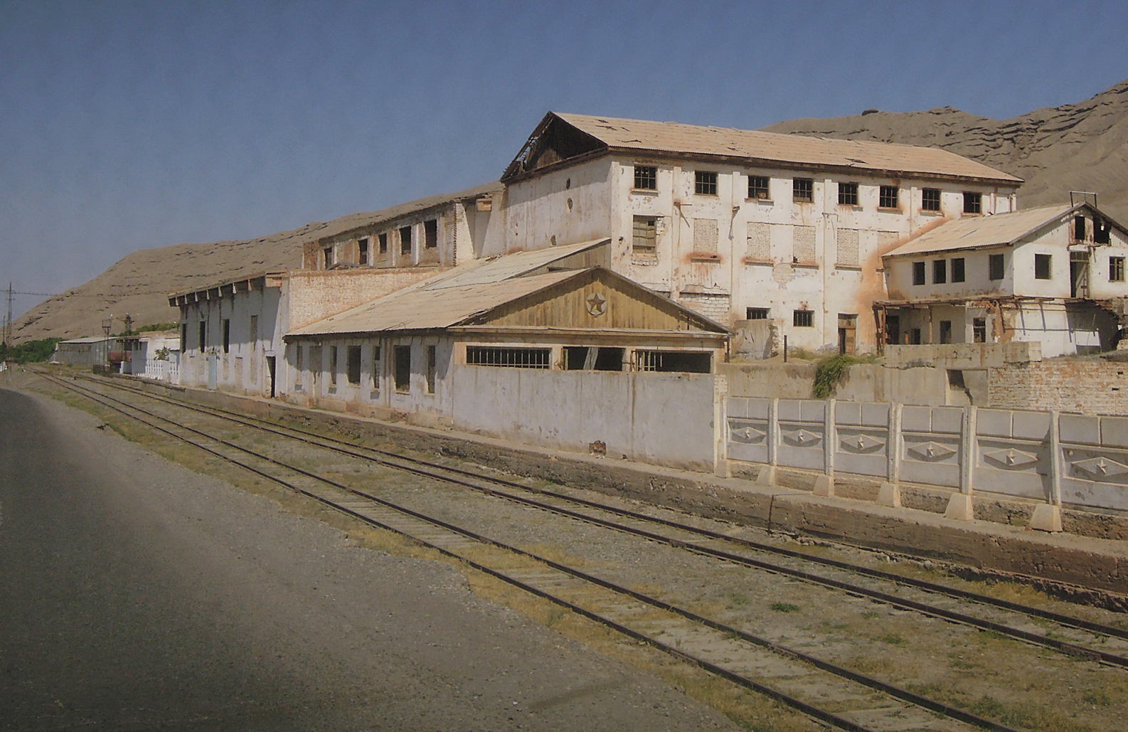
alte Fabrik

aus der jüngeren Geschichte

das reisende Kamel

Siegesdenkmal, WK-II

tadschikische Fahne

Bus- und Taxistation (автовокзал)

Kanonenofen im Bhf

Bahnstrecke Richtung Usbekistan (Ferganatal)

High-yield seeds bring hope on poverty and environment issues in Tajikistan
Topographic Map of Konibodom, Tajikistan
Find elevation by address:

Places near Konibodom, Tajikistan:
Recent Searches:
- Elevation of Elwyn Dr, Roanoke Rapids, NC, USA
- Elevation of Congressional Dr, Stevensville, MD, USA
- Elevation of Bellview Rd, McLean, VA, USA
- Elevation of Stage Island Rd, Chatham, MA, USA
- Elevation of Shibuya Scramble Crossing, 21 Udagawacho, Shibuya City, Tokyo -, Japan
- Elevation of Jadagoniai, Kaunas District Municipality, Lithuania
- Elevation of Pagonija rock, Kranto 7-oji g. 8"N, Kaunas, Lithuania
- Elevation of Co Rd 87, Jamestown, CO, USA
- Elevation of Tenjo, Cundinamarca, Colombia
- Elevation of Côte-des-Neiges, Montreal, QC H4A 3J6, Canada