Elevation map of Kon Tum Province, Vietnam
Location: Vietnam >
Longitude: 107.83885
Latitude: 14.661167
Elevation: 592m / 1942feet
Barometric Pressure: 94KPa
Elevation Map:
Satellite Map:
Related Photos:

Đăk Tô

fl-fb-20160605_0934810_9469-Edit-2
IMG_20180722_132838.jpg

IMG_20180429_121115.jpg

102ND200-0195_DSC-2-2-2

201902_Khe_Sanh_to_Kham_Duc-1140278.jpg

IMG_20181230_140504-01

IMG_20181231_104803-01

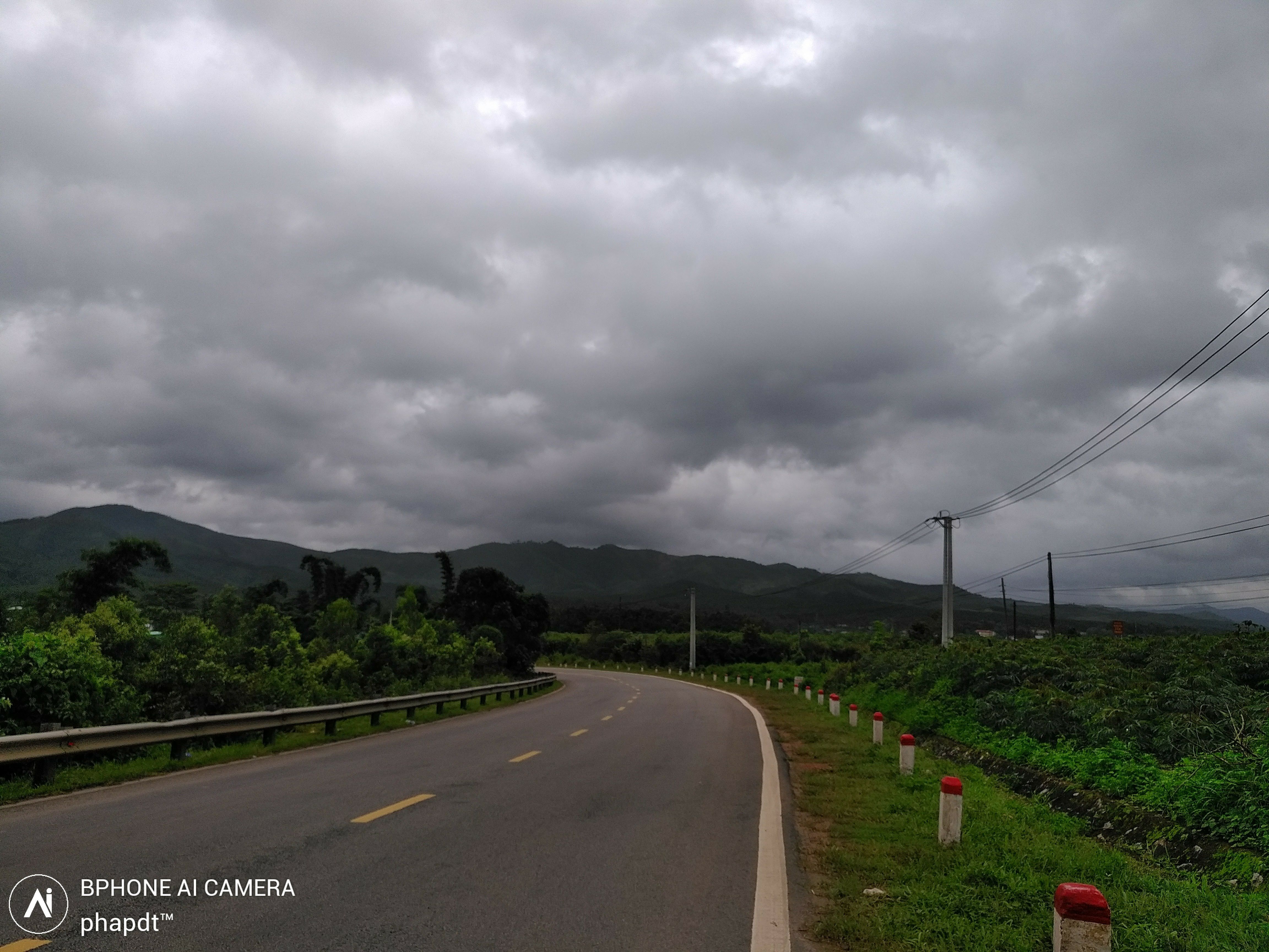
Đăk Tô Kon Đào 22/07

Kon Tum - Măng Đen
Topographic Map of Kon Tum Province, Vietnam
Find elevation by address:

Places in Kon Tum Province, Vietnam:
Places near Kon Tum Province, Vietnam:
Recent Searches:
- Elevation of Brooks Lp, Spearfish, SD, USA
- Elevation of Panther Dr, Maggie Valley, NC, USA
- Elevation of Jais St - Wadi Shehah - Ras al Khaimah - United Arab Emirates
- Elevation of Shawnee Avenue, Shawnee Ave, Easton, PA, USA
- Elevation of Scenic Shore Dr, Kingwood Area, TX, USA
- Elevation of W Prive Cir, Delray Beach, FL, USA
- Elevation of S Layton Cir W, Layton, UT, USA
- Elevation of F36W+3M, Mussoorie, Uttarakhand, India
- Elevation of Fairland Ave, Fairhope, AL, USA
- Elevation of Sunset Dr, Richmond, VA, USA