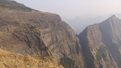
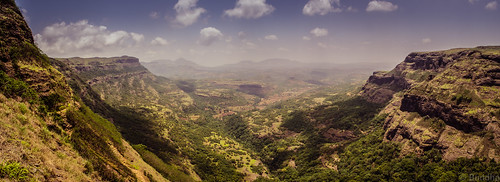
Elevation of Kolewadi, Maharashtra, India
Location: India > Maharashtra > Pune >
Longitude: 73.8768225
Latitude: 19.2961371
Elevation: 732m / 2402feet
Barometric Pressure: 93KPa
Related Photos:
Topographic Map of Kolewadi, Maharashtra, India
Find elevation by address:

Places near Kolewadi, Maharashtra, India:
Malshej Ghat
Taramati Peak
Konkan Kada
Thakarwadi
Bhandardara
Nawalewadi
Akole
Mahalwadi
Jahagirdarwadi
Kalsubai Peak
Kalsubai Peak
Hotel Kalsubai
Bari
Indore
Bhimashankar
Ghulewadi
Chafewadi
Kivale
Ambhu
Khadakwadi
Recent Searches:
- Elevation of Shibuya Scramble Crossing, 21 Udagawacho, Shibuya City, Tokyo -, Japan
- Elevation of Jadagoniai, Kaunas District Municipality, Lithuania
- Elevation of Pagonija rock, Kranto 7-oji g. 8"N, Kaunas, Lithuania
- Elevation of Co Rd 87, Jamestown, CO, USA
- Elevation of Tenjo, Cundinamarca, Colombia
- Elevation of Côte-des-Neiges, Montreal, QC H4A 3J6, Canada
- Elevation of Bobcat Dr, Helena, MT, USA
- Elevation of Zu den Ihlowbergen, Althüttendorf, Germany
- Elevation of Badaber, Peshawar, Khyber Pakhtunkhwa, Pakistan
- Elevation of SE Heron Loop, Lincoln City, OR, USA


