Elevation of Knob Prairie Rd, Thompsonville, IL, USA
Location: United States > Illinois > Franklin County > Eastern Township >
Longitude: -88.756286
Latitude: 37.9992364
Elevation: 162m / 531feet
Barometric Pressure: 99KPa
Elevation Map:
Satellite Map:
Related Photos:
Benton Station

Illinois Central Depot? Benton, IL
Franklin County Courthouse, Benton, IL
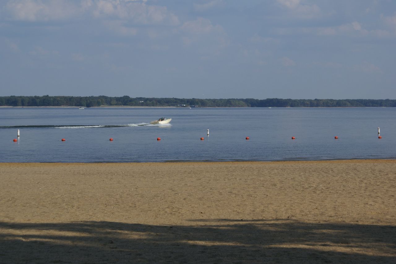
2007-10-07-Benton_RendLake-78
2007-10-07-Benton_RendLake-61
2007-10-07-Benton_RendLake-48
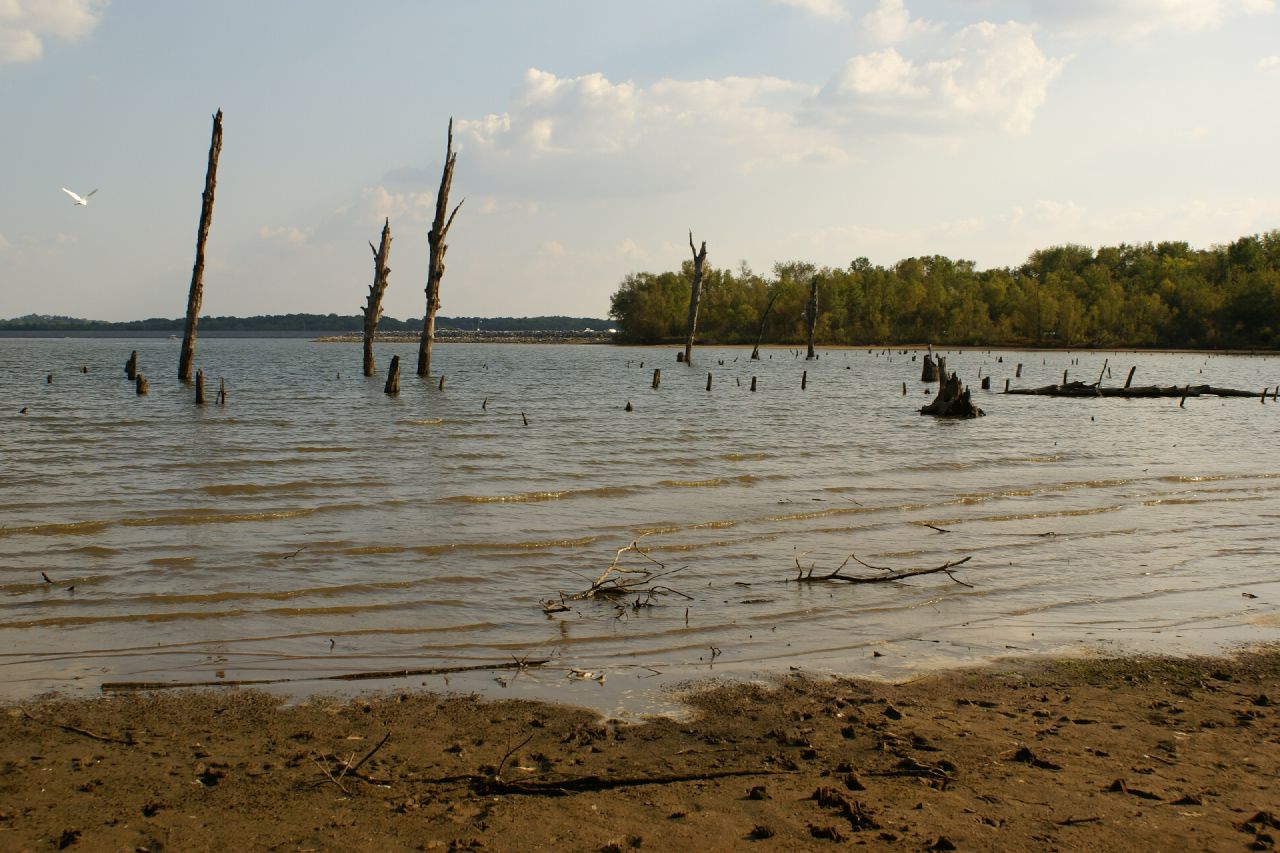
2007-10-07-Benton_RendLake-46
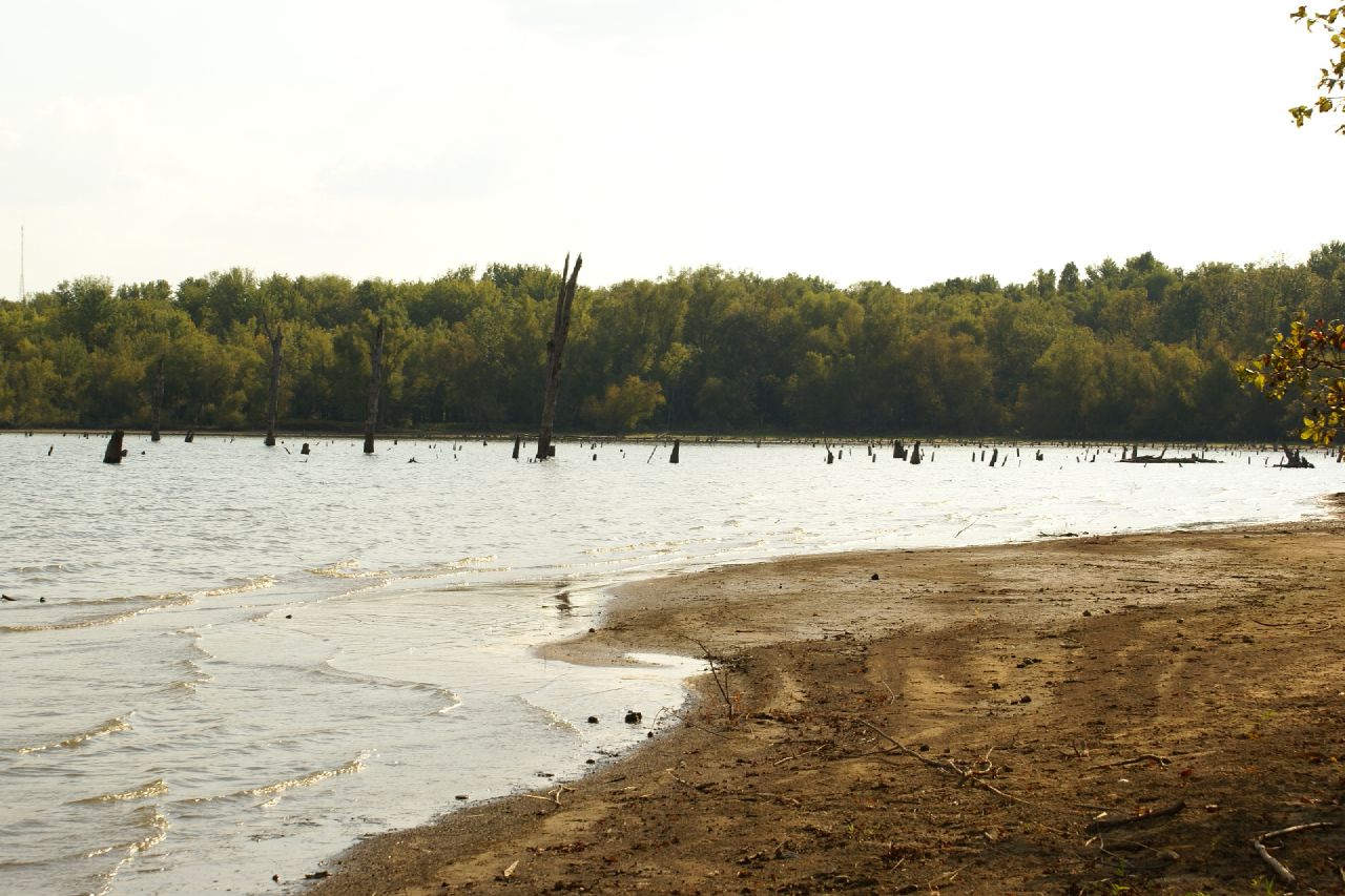
2007-10-07-Benton_RendLake-45
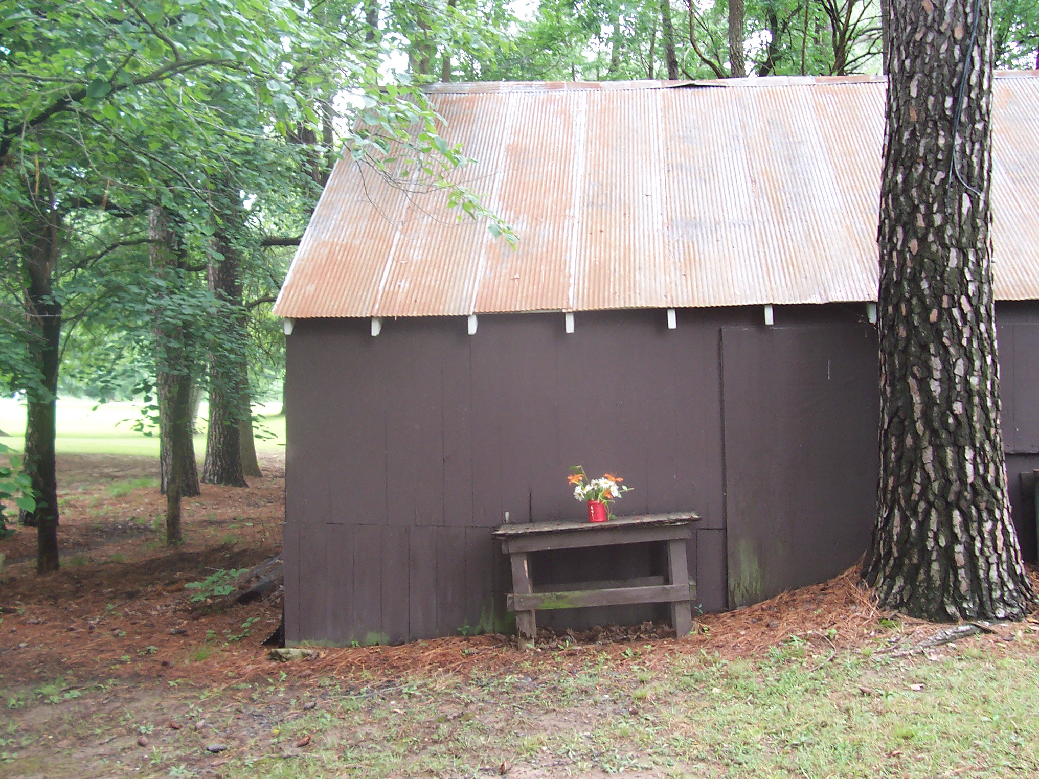
Floral Arangment
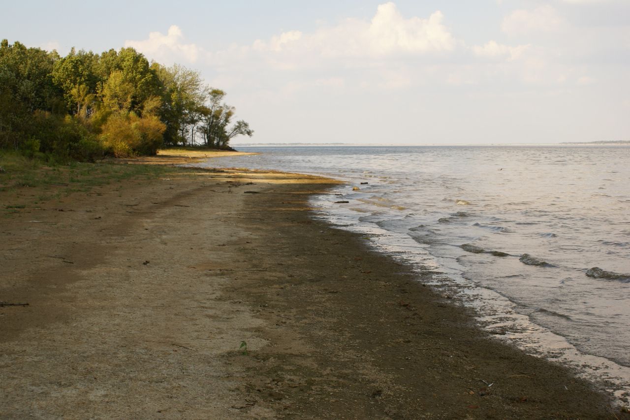
2007-10-07-Benton_RendLake-15
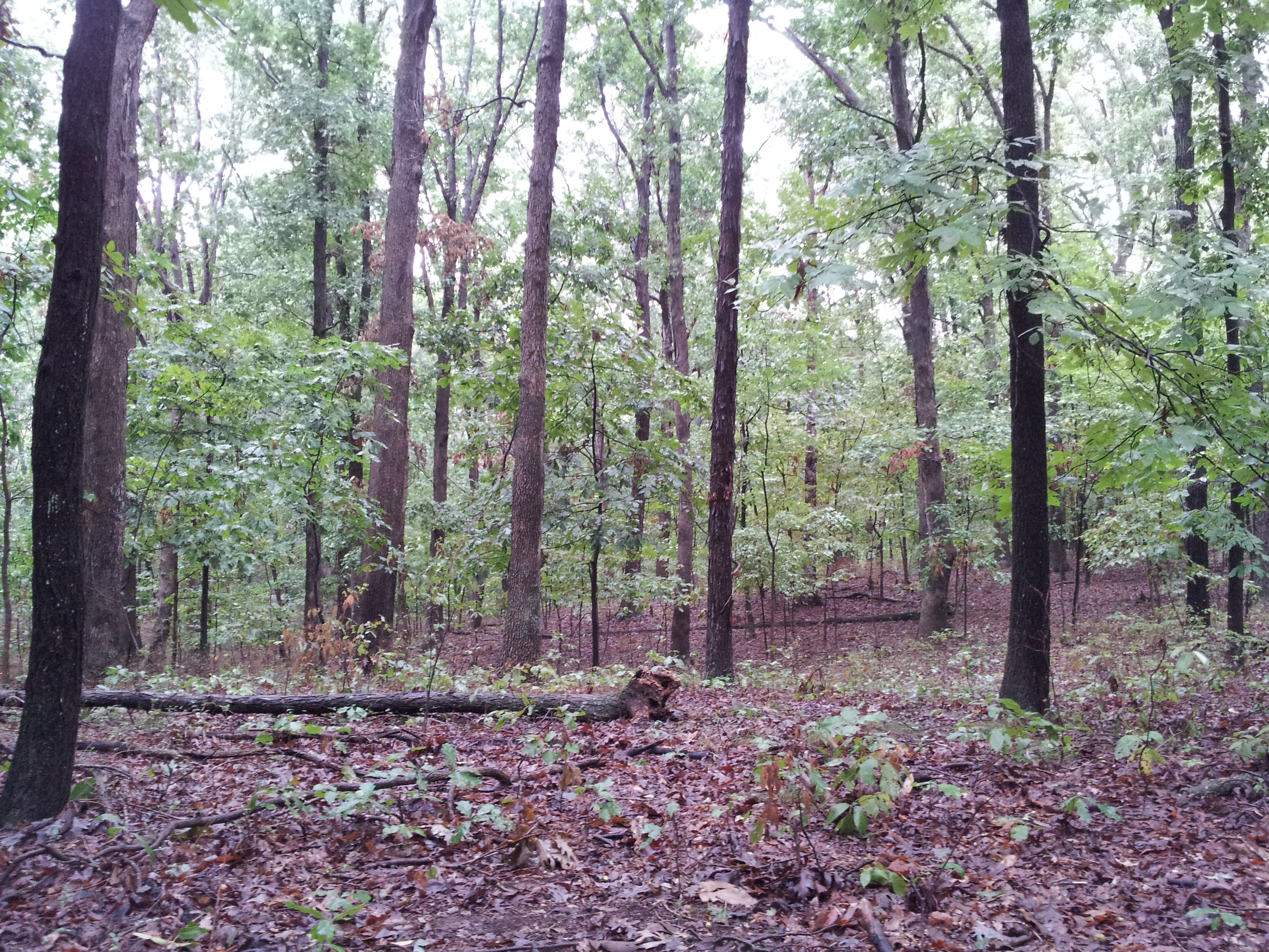
The Woods

2007-10-07-Benton_RendLake-1
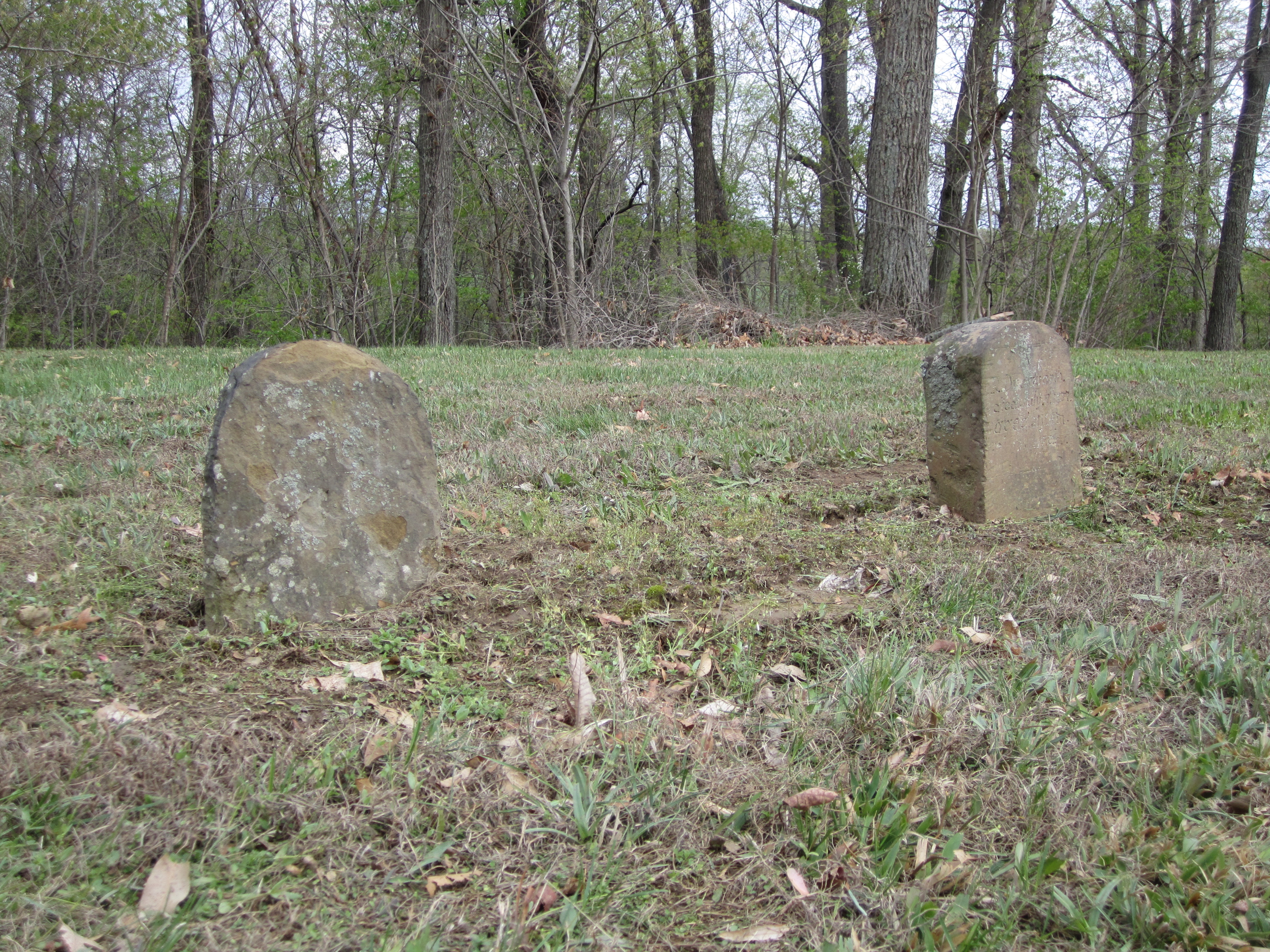
Knob Prairie Cemetery

Arriving at Sugar Camp
Topographic Map of Knob Prairie Rd, Thompsonville, IL, USA
Find elevation by address:

Places near Knob Prairie Rd, Thompsonville, IL, USA:
Eastern Township
Akin
20290 Akin Blacktop
Bessie Rd, Benton, IL, USA
Benton Township
608 N Studell Ave
708 N Stuyvesant St
Oliver Street
1501 Oliver St
1501 Oliver St
1501 Oliver St
Franklin County
1405 Vale St
Benton
IL-37, Benton, IL, USA
13257 Il-37
E Ina Rd, Ina, IL, USA
Spring Garden Township
Dahlgren
W Main St, Dahlgren, IL, USA
Recent Searches:
- Elevation of Jalan Senandin, Lutong, Miri, Sarawak, Malaysia
- Elevation of Bilohirs'k
- Elevation of 30 Oak Lawn Dr, Barkhamsted, CT, USA
- Elevation of Luther Road, Luther Rd, Auburn, CA, USA
- Elevation of Unnamed Road, Respublika Severnaya Osetiya — Alaniya, Russia
- Elevation of Verkhny Fiagdon, North Ossetia–Alania Republic, Russia
- Elevation of F. Viola Hiway, San Rafael, Bulacan, Philippines
- Elevation of Herbage Dr, Gulfport, MS, USA
- Elevation of Lilac Cir, Haldimand, ON N3W 2G9, Canada
- Elevation of Harrod Branch Road, Harrod Branch Rd, Kentucky, USA