Elevation of Klondike Hwy, Yukon, Unorganized, YT Y0B, Canada
Location: Canada > Yukon Territory > Yukon > Yukon, Unorganized >
Longitude: -136.80257
Latitude: 62.5601587
Elevation: 457m / 1499feet
Barometric Pressure: 96KPa
Elevation Map:
Satellite Map:
Related Photos:
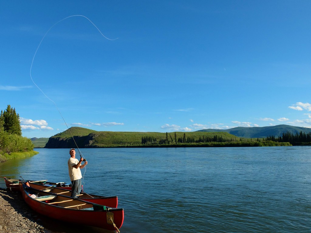
S0026004
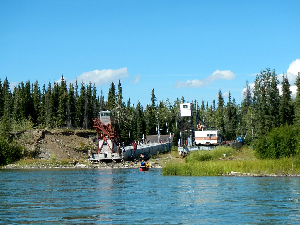
DSCN9061
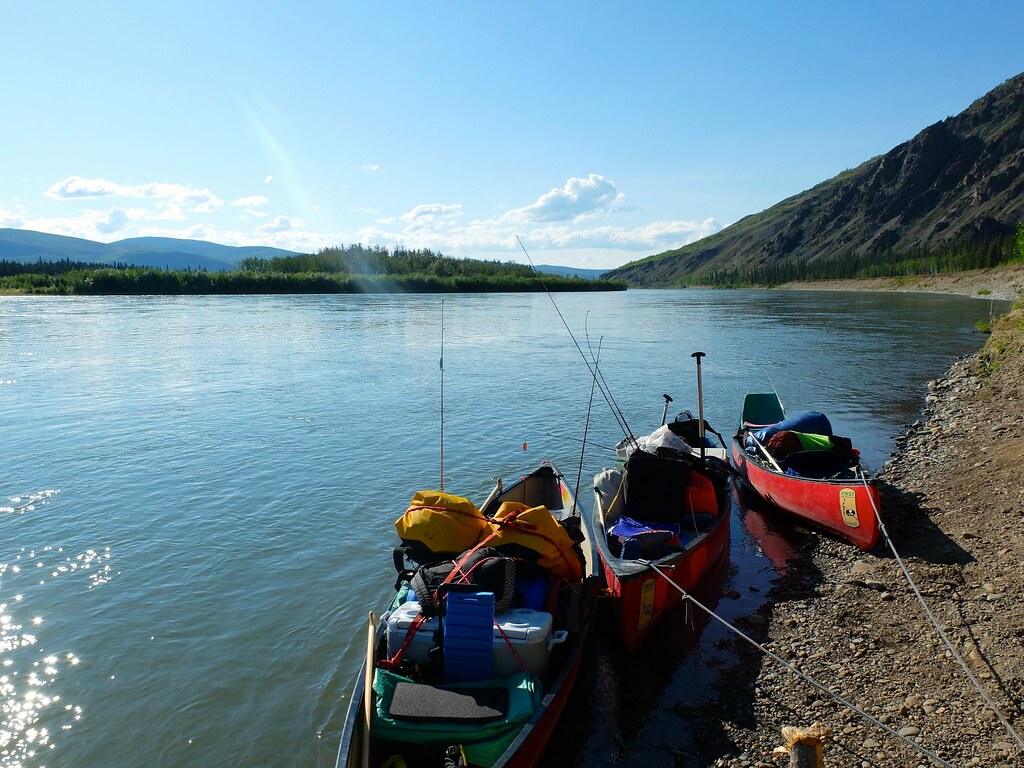
S0885137
DSC_8252.jpg
100712_JTSh_0628.jpg

From Carmacks to Dawson_6

From Carmacks to Dawson_5

From Carmacks to Dawson_4

From Carmacks to Dawson_3

From Carmacks to Dawson_2

From Carmacks to Dawson_1

pixeldawn (2)
Topographic Map of Klondike Hwy, Yukon, Unorganized, YT Y0B, Canada
Find elevation by address:

Recent Searches:
- Elevation of Rojo Ct, Atascadero, CA, USA
- Elevation of Flagstaff Drive, Flagstaff Dr, North Carolina, USA
- Elevation of Avery Ln, Lakeland, FL, USA
- Elevation of Woolwine, VA, USA
- Elevation of Lumagwas Diversified Farmers Multi-Purpose Cooperative, Lumagwas, Adtuyon, RV32+MH7, Pangantucan, Bukidnon, Philippines
- Elevation of Homestead Ridge, New Braunfels, TX, USA
- Elevation of Orchard Road, Orchard Rd, Marlborough, NY, USA
- Elevation of 12 Hutchinson Woods Dr, Fletcher, NC, USA
- Elevation of Holloway Ave, San Francisco, CA, USA
- Elevation of Norfolk, NY, USA