Elevation of KLüßer Mühle 1, Kirch Jesar, Germany
Location: Germany > Mecklenburg-vorpommern > Kirch Jesar >
Longitude: 11.3141489
Latitude: 53.4421194
Elevation: 29m / 95feet
Barometric Pressure: 101KPa
Elevation Map:
Satellite Map:
Related Photos:
wide view

From My Point Of View In the Car - back ???? home

In the evening

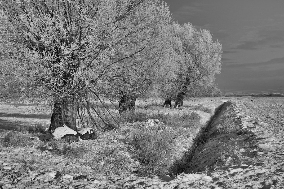
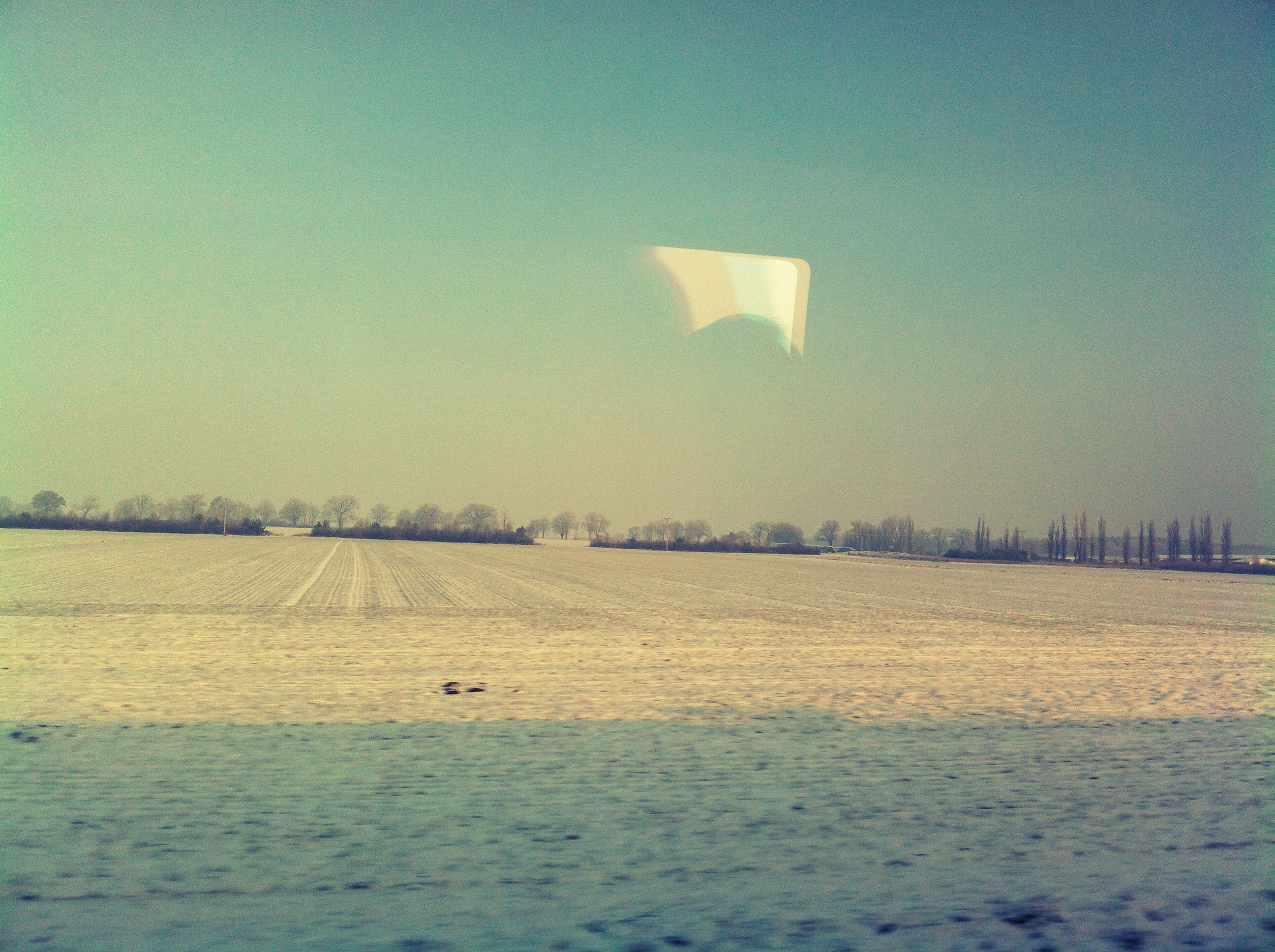
peaceful winter

Fallen tree on the road
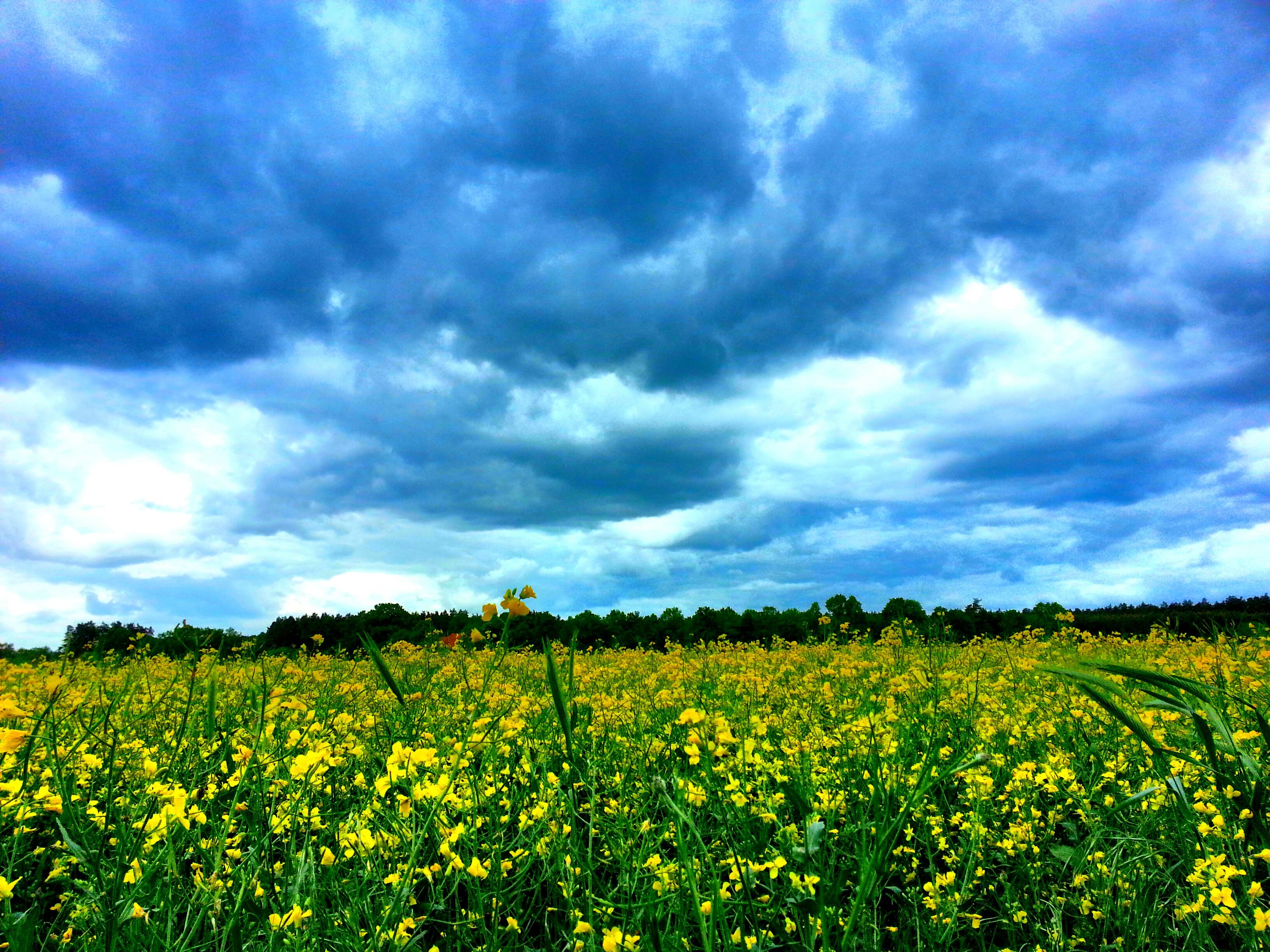
Summer Sky
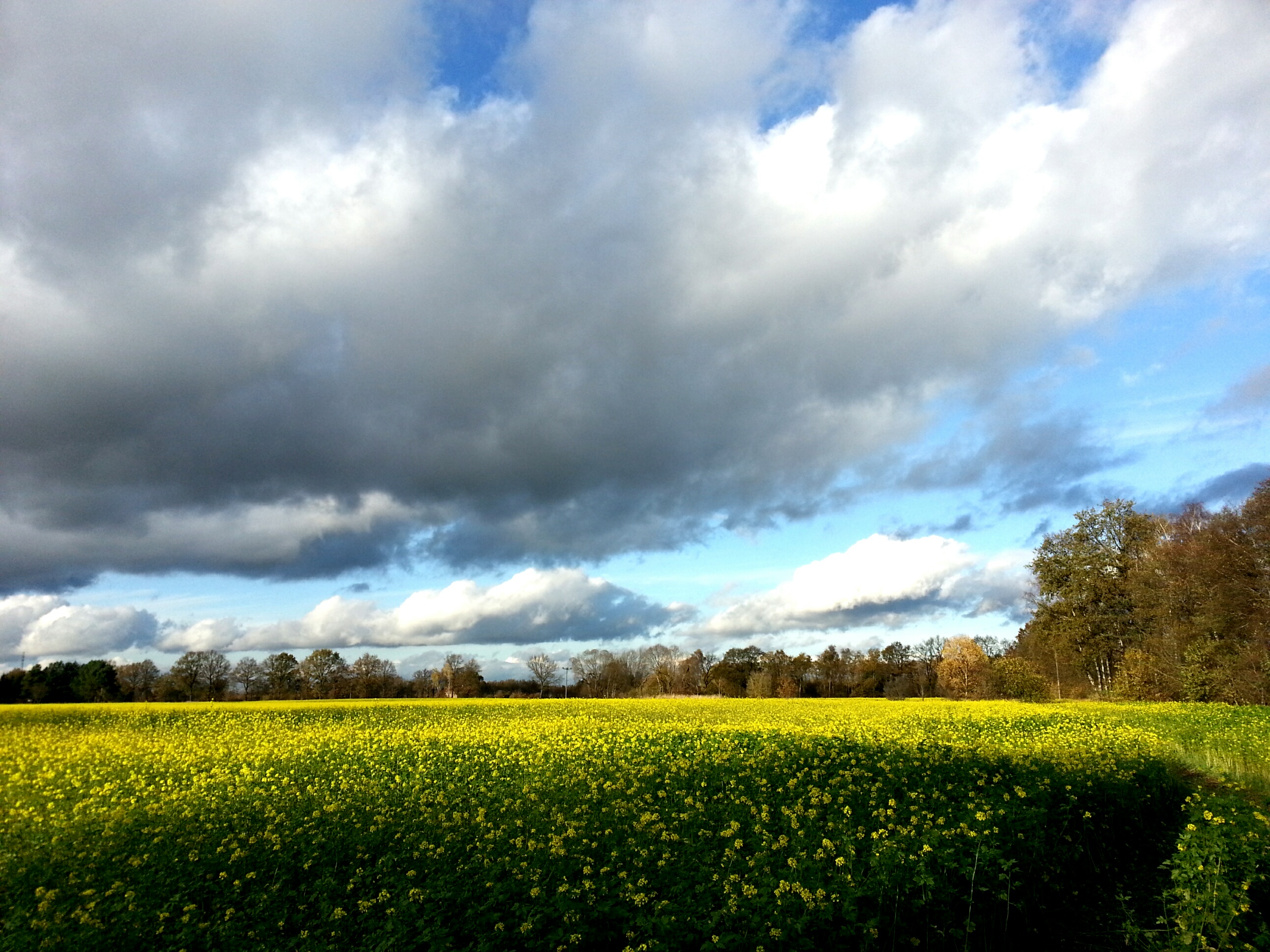
Sunny Clouds In November
Fernbus nach Berlin
A gloomy winter sun

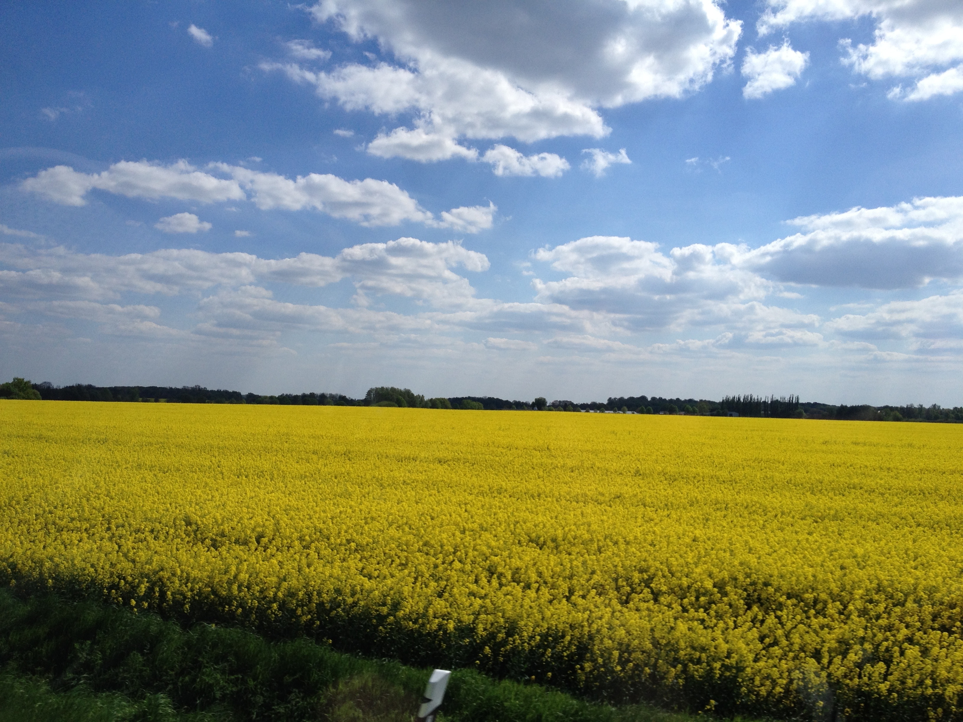
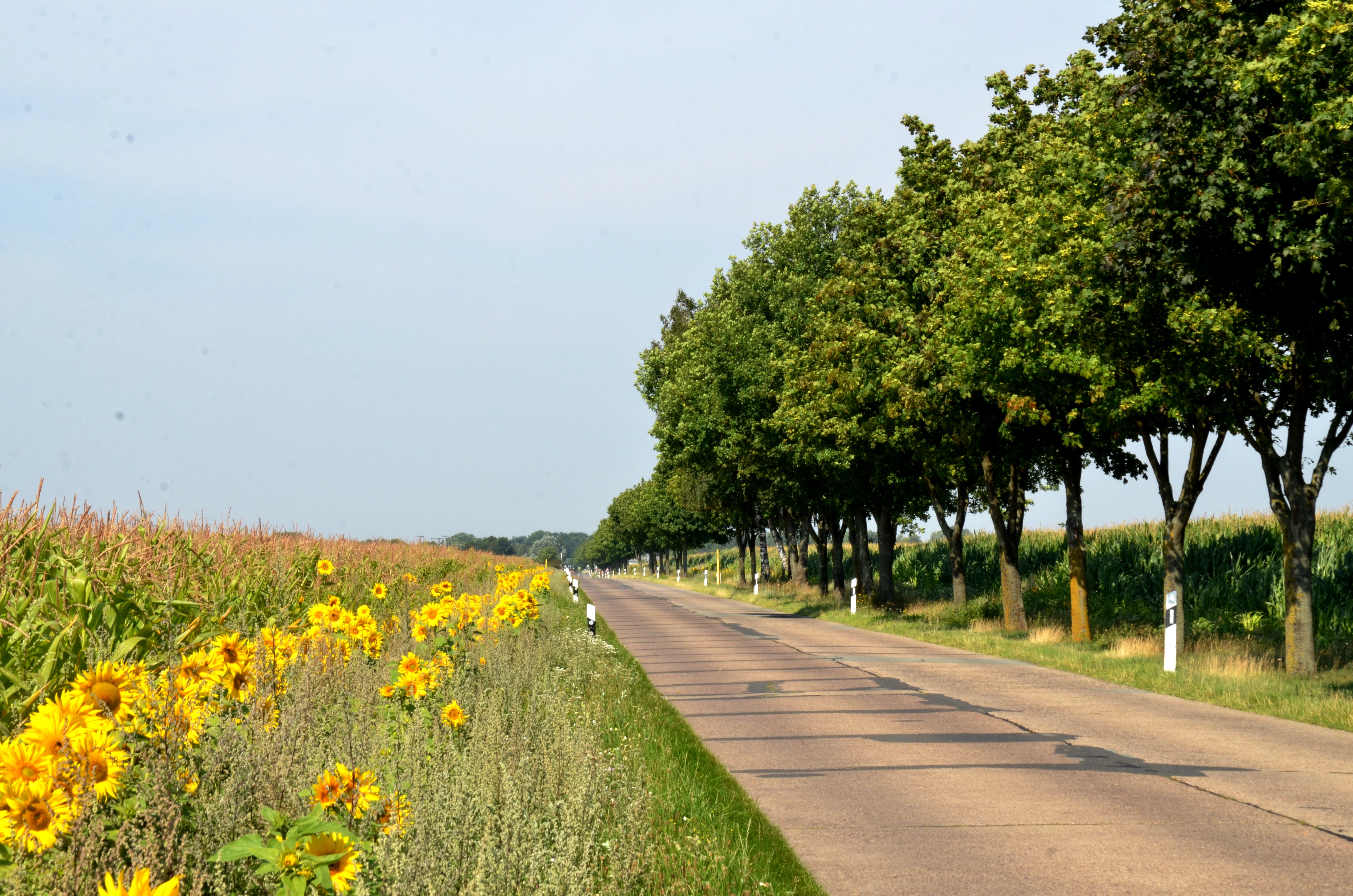
Kornfeld am Schwarzen Weg

Silhouette des Rathaus 1

Silhouette der alten Berufsschule und des KK Hagenow bei Sonnenuntergang

Puste 3
Duitsland aug. '15 (144) Bij Sülte.
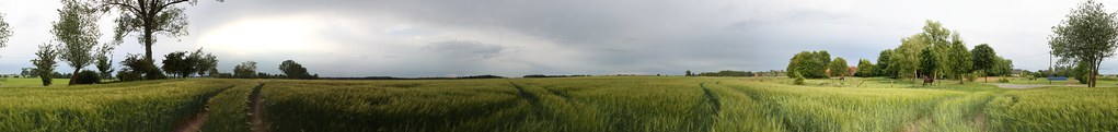
Gerstefeld - 360°
Topographic Map of KLüßer Mühle 1, Kirch Jesar, Germany
Find elevation by address:

Places near KLüßer Mühle 1, Kirch Jesar, Germany:
Kirch Jesar
Sülstorf
Rastow
Bahnhofstraße 43, Rastow, Germany
Waldstraße 2, Sülstorf, Germany
Siedlung 3, Dümmer, Germany
Lübesse
Torfdamm 1, Lübesse, Germany
Fritz-Reuter-Straße 16, Rastow, Germany
Fahrbinde
Schwerin
Schulsteig 5, Banzkow, Germany
Banzkow
Wismarsche Str. 393-397
Raben Steinfeld
Kastanienallee 2, Raben Steinfeld, Germany
Vatersplaner Str. 5, Klein Trebbow, Germany
Groß Trebbow
Eschenweg 2, Seehof, Germany
Klein Trebbow
Recent Searches:
- Elevation of N Railroad Ave, West Palm Beach, FL, USA
- Elevation of 55 Cassick Valley Rd, Wellfleet, MA, USA
- Elevation of Ironwood Dr, Minden, NV, USA
- Elevation of 高尾山口駅, Takaomachi, Hachioji, Tokyo -, Japan
- Elevation of 15 Victory Ave, Greenville, SC, USA
- Elevation of Kota Ternate Utara, Ternate City, North Maluku, Indonesia
- Elevation of Allon St, Oceanside, NY, USA
- Elevation of Carroll Creek Rd, Custer, SD, USA
- Elevation of Lust Road, Lust Rd, Florida, USA
- Elevation of Pleasant Valley Rd NW, Adairsville, GA, USA