Elevation map of Kitimat-Stikine C (Part 1), BC, Canada
Location: Canada > British Columbia > Kitimat-stikine >
Longitude: -128.87281
Latitude: 54.7061722
Elevation: 676m / 2218feet
Barometric Pressure: 93KPa
Elevation Map:
Satellite Map:
Related Photos:

Aurora Borealis, March 29th 2013
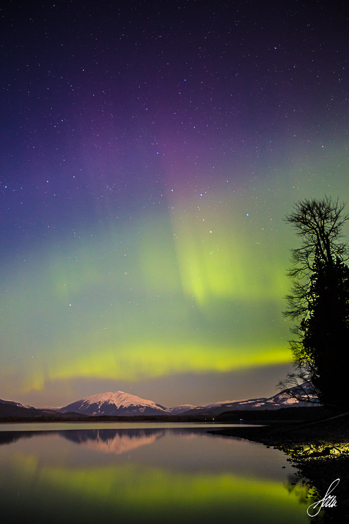
Aurora Borealis, March 29, 2013
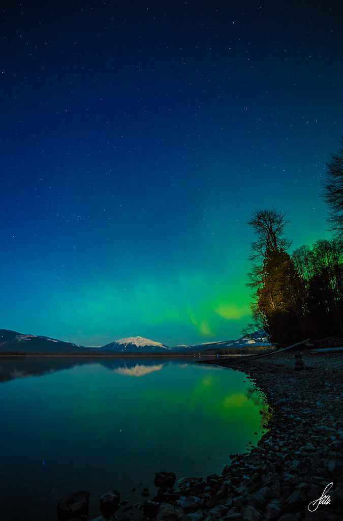
Aurora Borealis, March 29th 2013
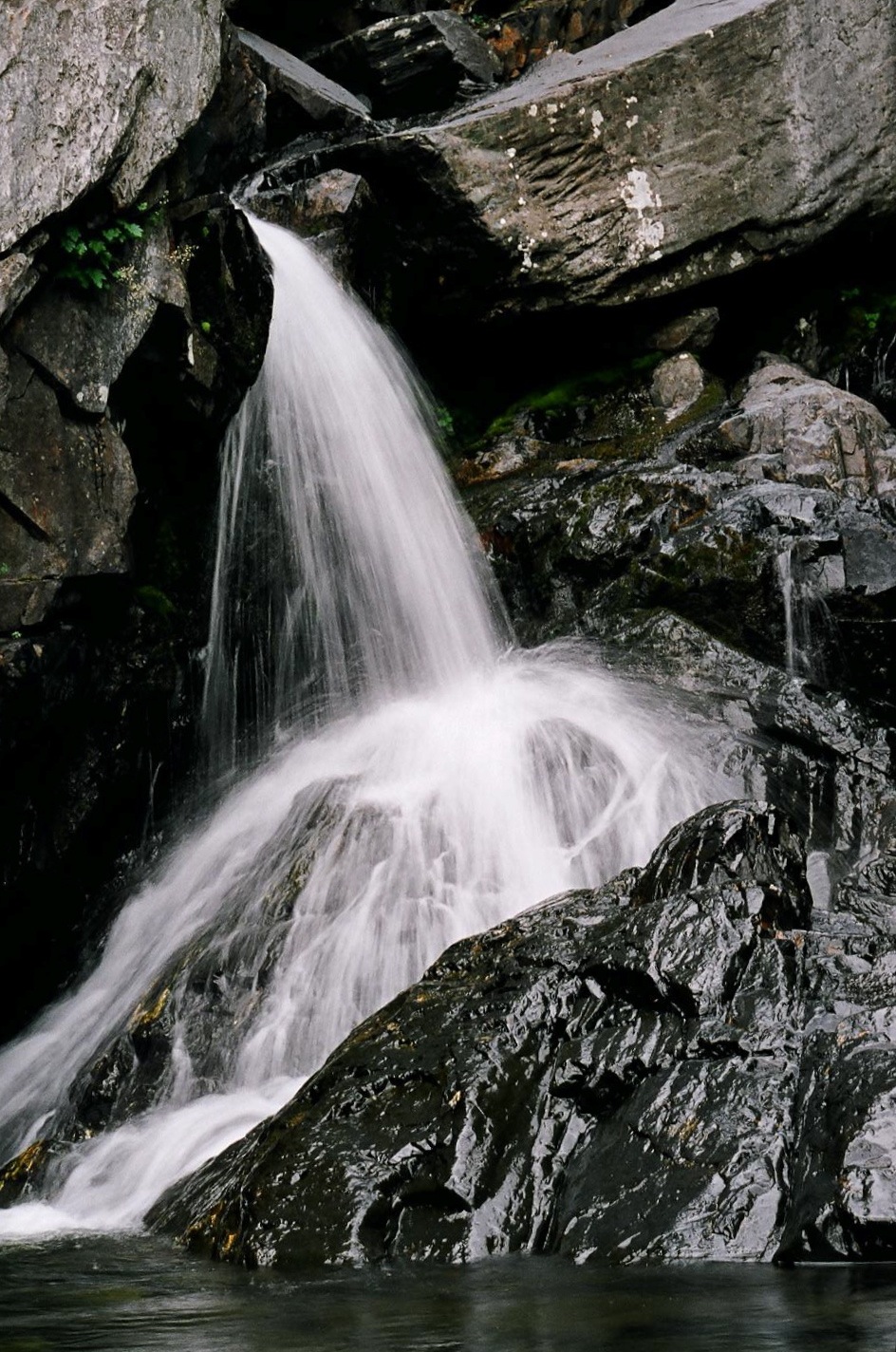
Tumbling Creek BC
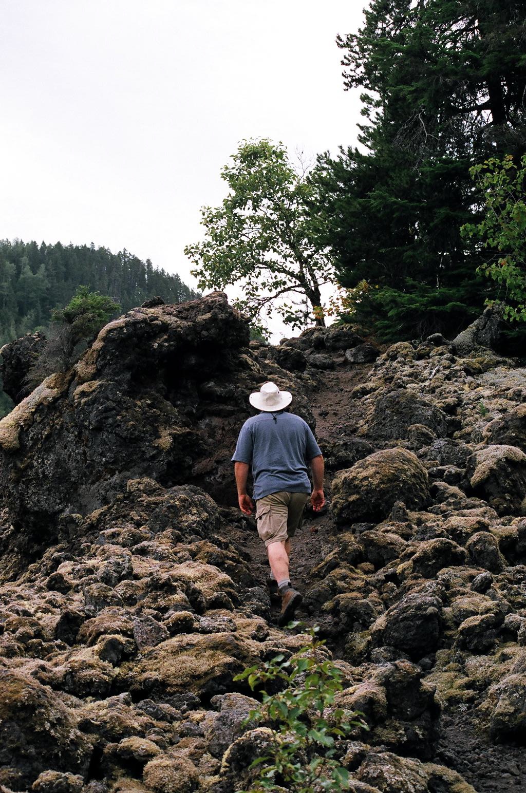
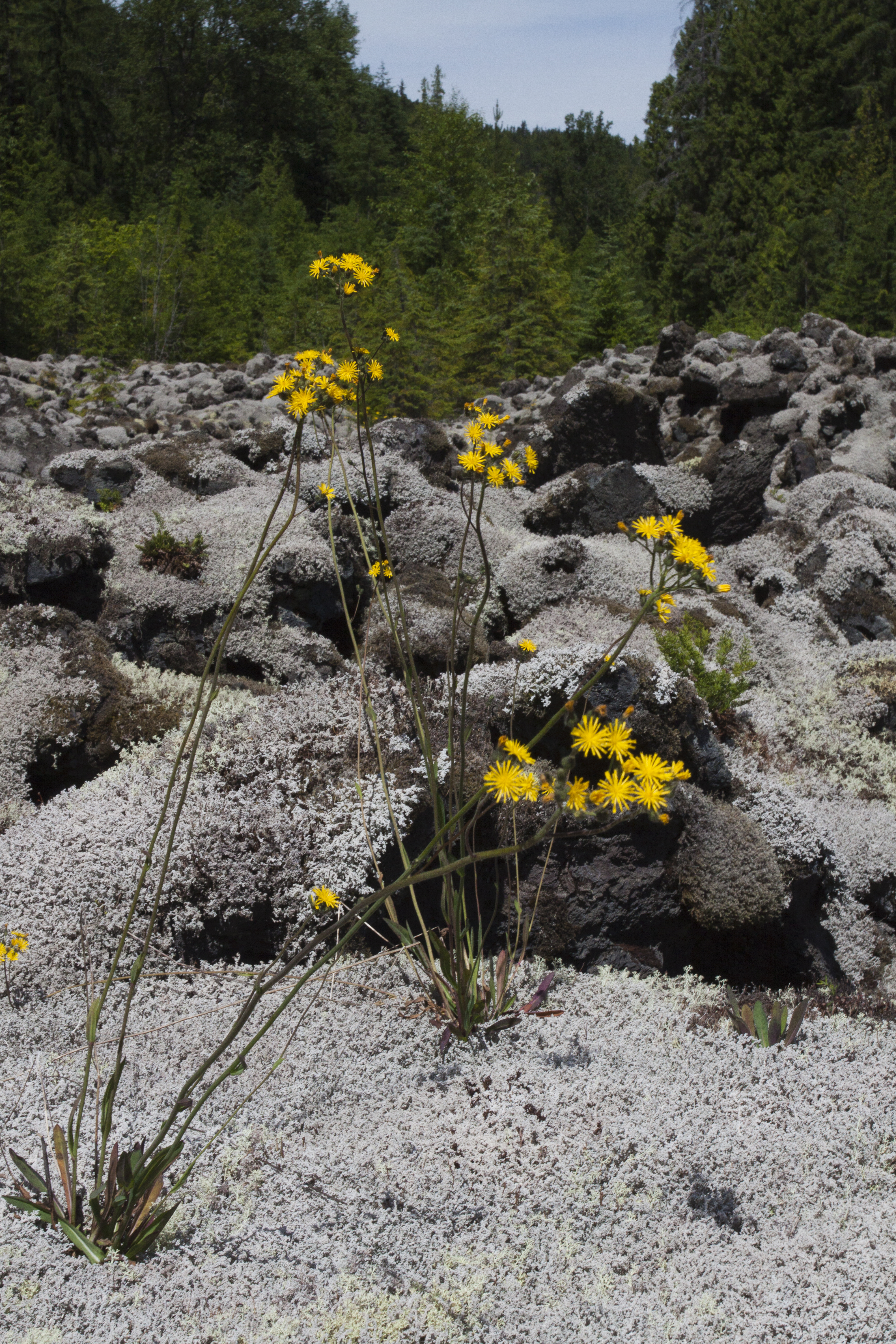
climbing a lava flow near Rosswood BC

Milky Way with Shooting Stars
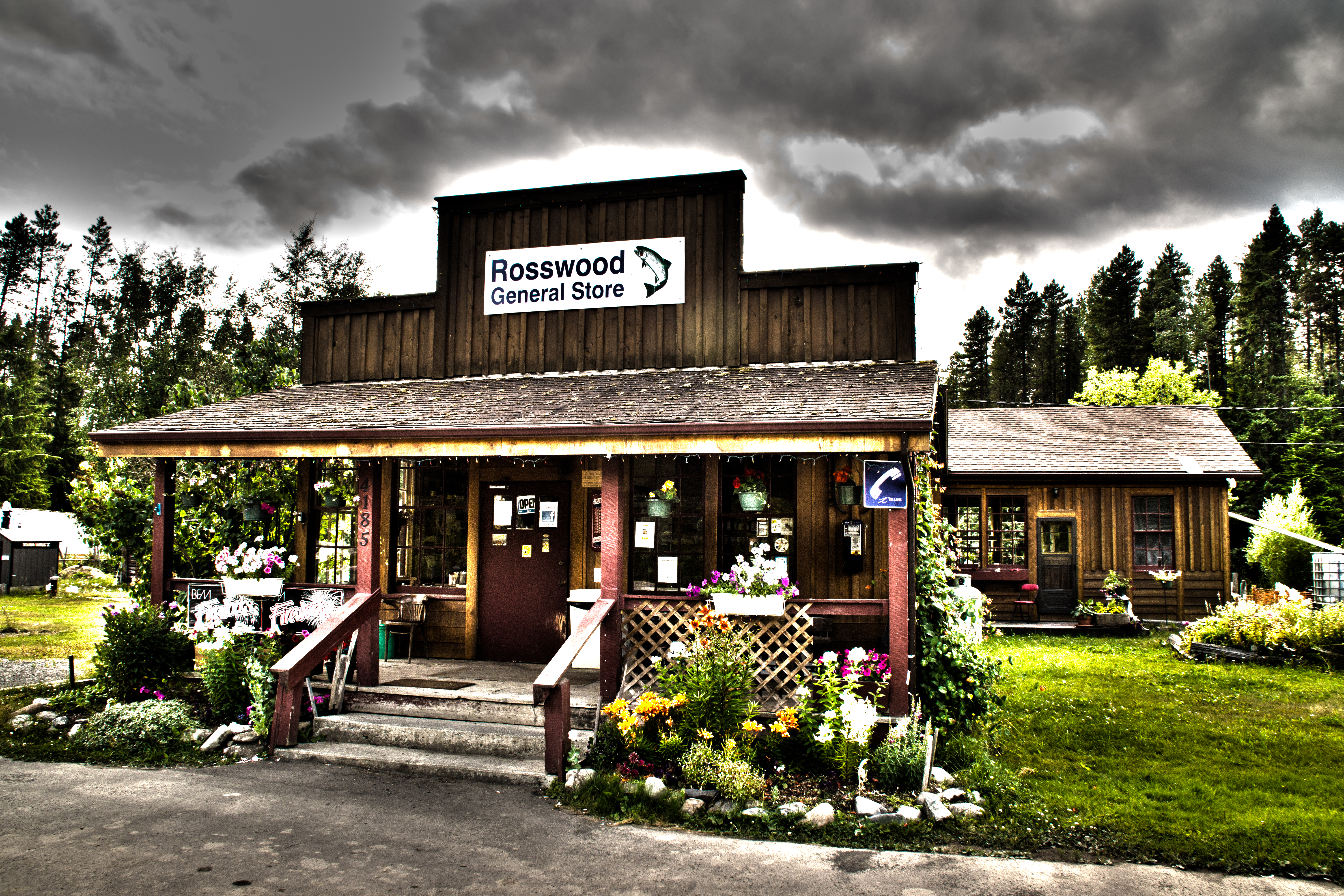
Good old country store
flowers on the moon
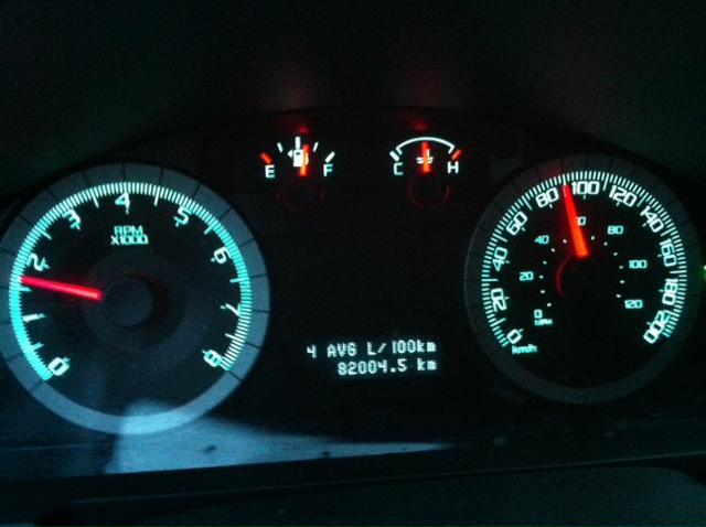
Mileage this morning

i wait........i IiSten...
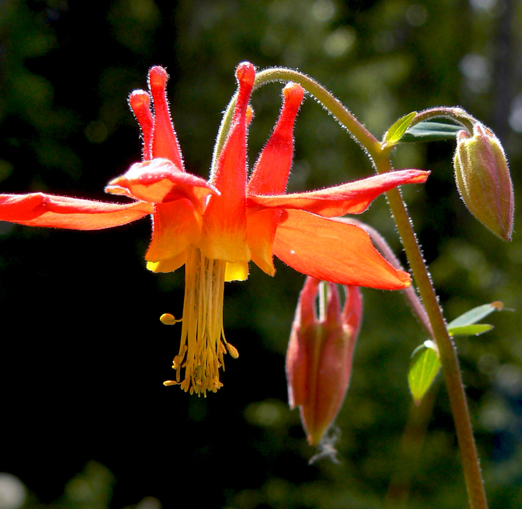
Drop flower - Red Columbine
Something blue
Topographic Map of Kitimat-Stikine C (Part 1), BC, Canada
Find elevation by address:

Places in Kitimat-Stikine C (Part 1), BC, Canada:
Mount Valpy
Tentacle Peak
Burnie Peak
Gitselasu St, Cedarvale, BC V0J 1G0, Canada
Kilby Rd, Terrace, BC V8G 0E1, Canada
Dorreen
Places near Kitimat-Stikine C (Part 1), BC, Canada:
Kilby Rd, Terrace, BC V8G 0E1, Canada
2031 Royale Rd
Frank St, Terrace, BC V8G 0H4, Canada
5216 Soucie Ave
4915 Lambly Ave
Terrace
Lakelse Ave, Terrace, BC V8G 1R2, Canada
2410 Cramer St
4403 Legion Ave
4318 Marsh Crescent
4675 Otter St
4675 Otter St
Mount Valpy
Gitselasu St, Cedarvale, BC V0J 1G0, Canada
1 Ave, Terrace, BC V8G 0G2, Canada
Dorreen
54 Char St, Kitimat, BC V8C 2K6, Canada
Farrow Street
Kitimat
29 Swan St
Recent Searches:
- Elevation of Corso Fratelli Cairoli, 35, Macerata MC, Italy
- Elevation of Tallevast Rd, Sarasota, FL, USA
- Elevation of 4th St E, Sonoma, CA, USA
- Elevation of Black Hollow Rd, Pennsdale, PA, USA
- Elevation of Oakland Ave, Williamsport, PA, USA
- Elevation of Pedrógão Grande, Portugal
- Elevation of Klee Dr, Martinsburg, WV, USA
- Elevation of Via Roma, Pieranica CR, Italy
- Elevation of Tavkvetili Mountain, Georgia
- Elevation of Hartfords Bluff Cir, Mt Pleasant, SC, USA