Elevation of Kita District, Ehime Prefecture, Japan
Location: Japan > Ehime Prefecture >
Longitude: 132.742
Latitude: 33.579
Elevation: 188m / 617feet
Barometric Pressure: 99KPa
Elevation Map:
Satellite Map:
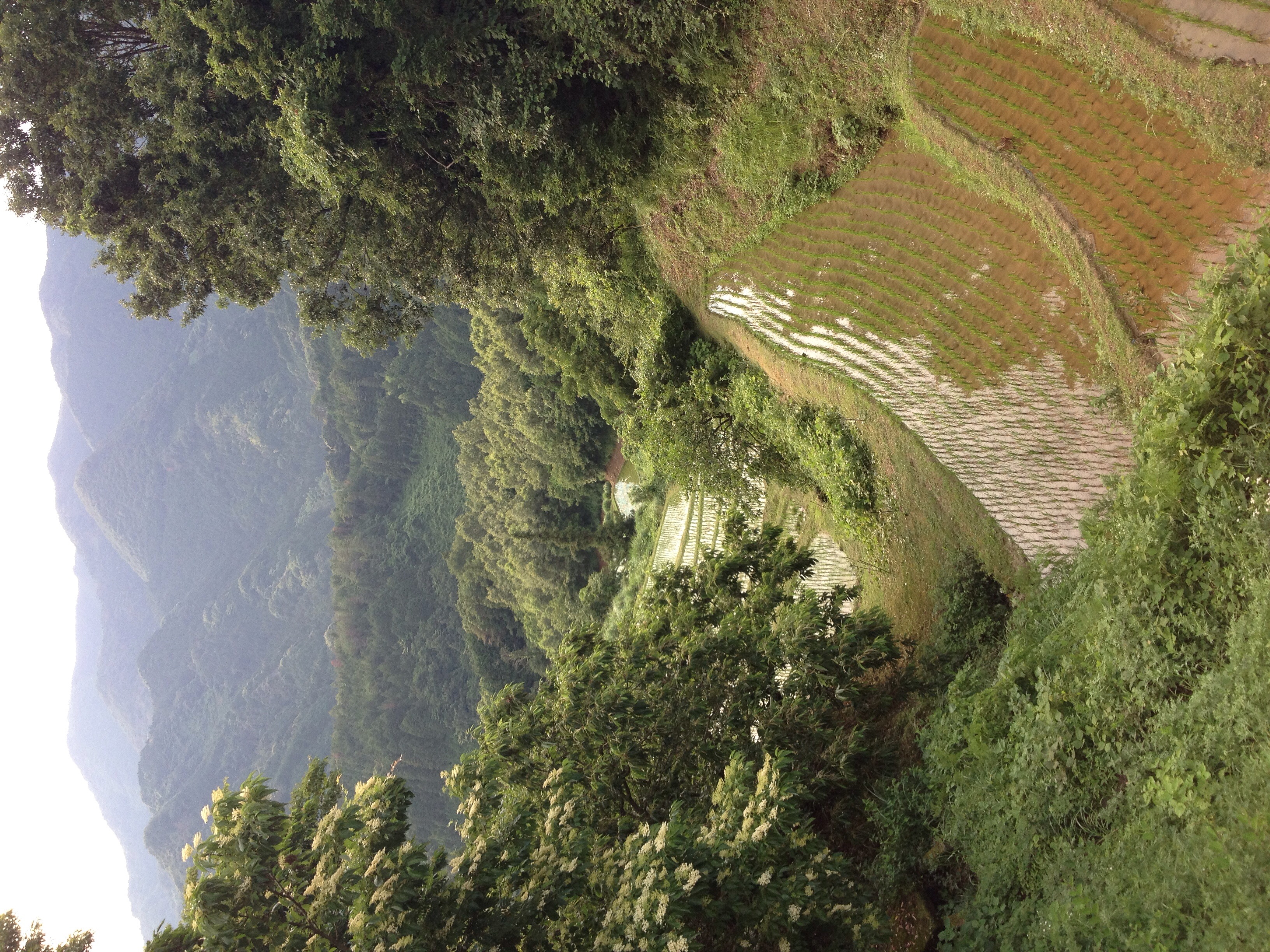
Related Photos:
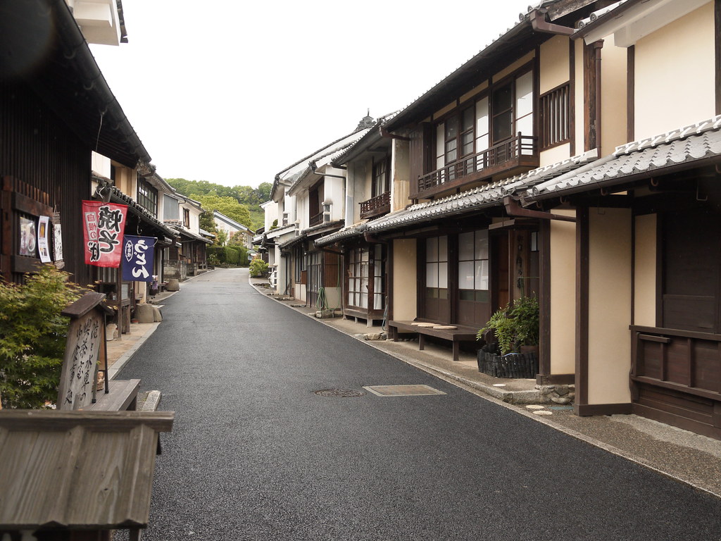
street view@Uchiko,Ehime,Japan
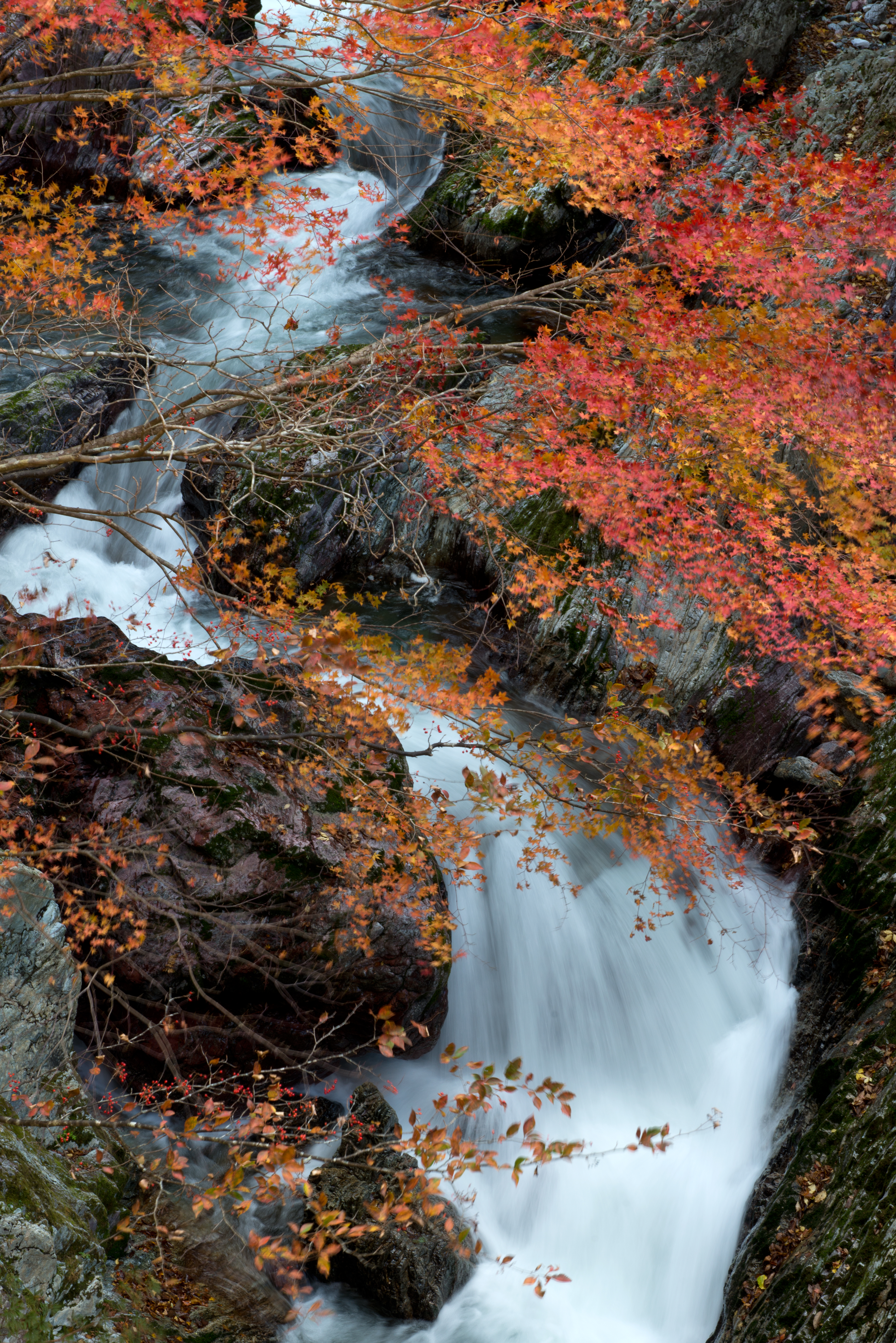
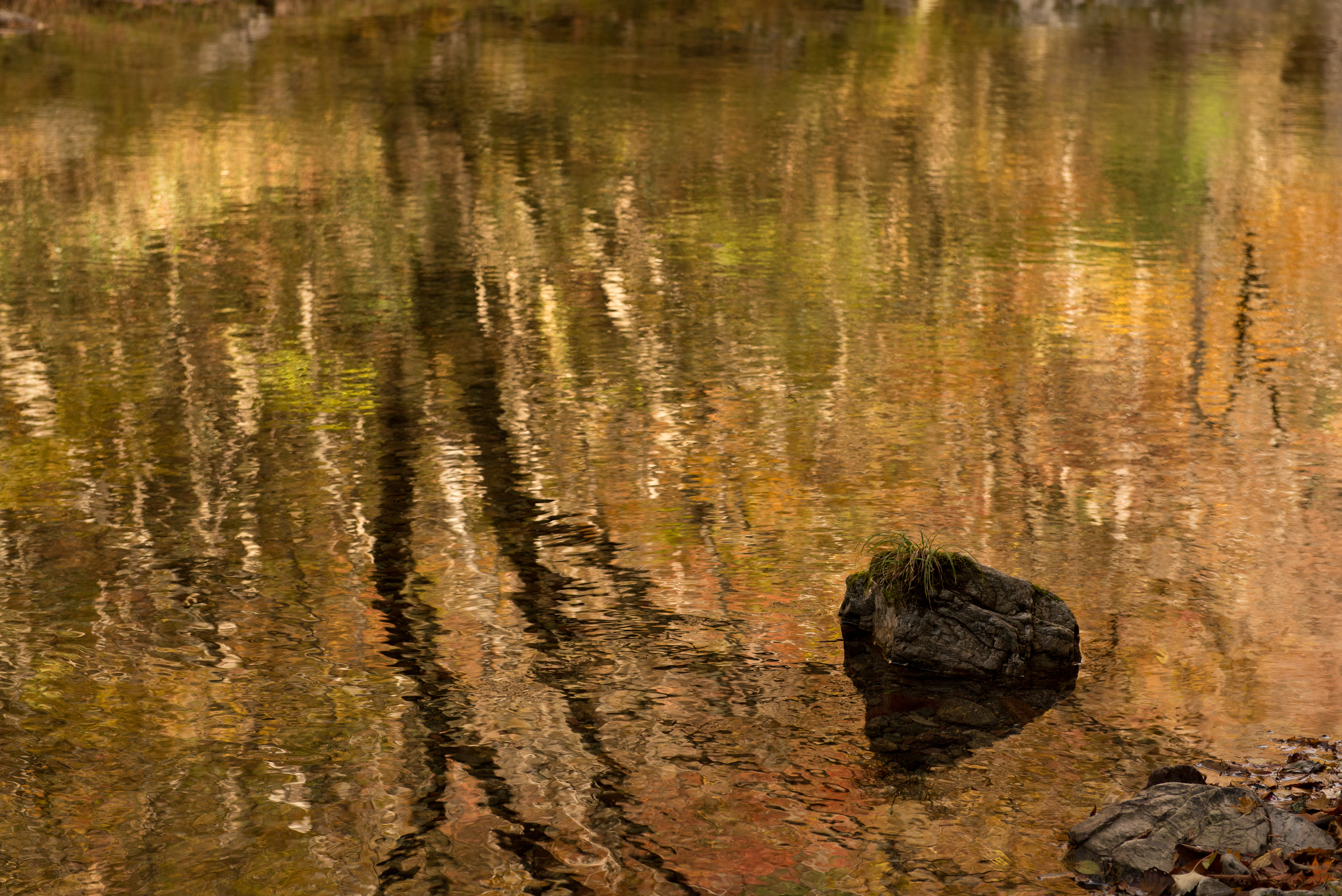
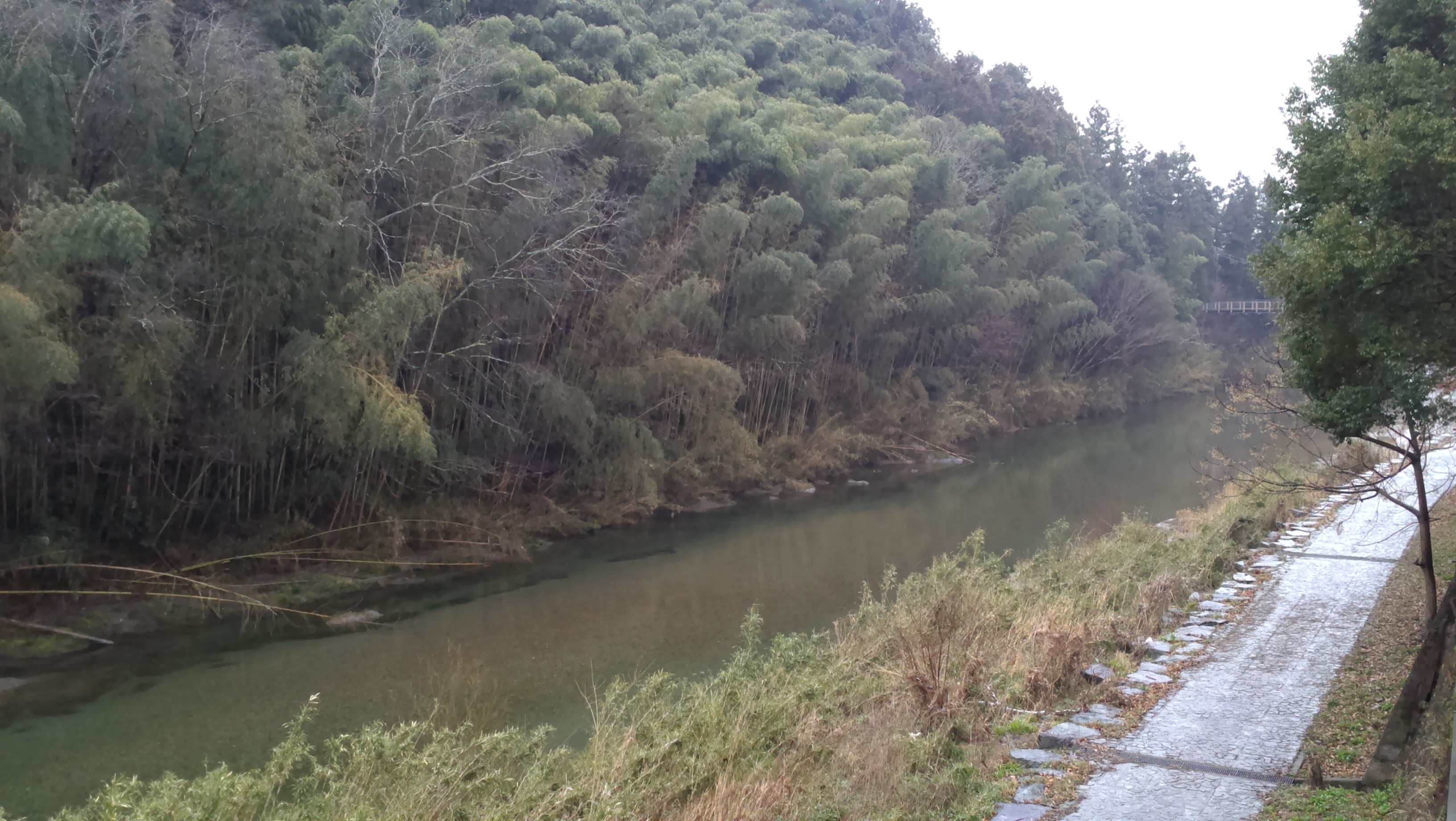
秋流るる
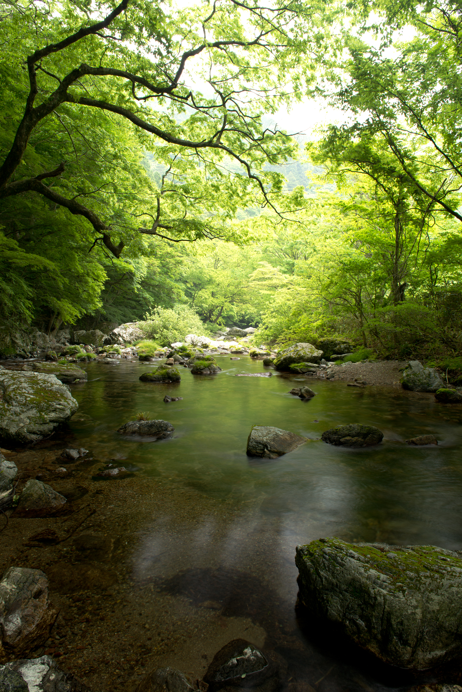
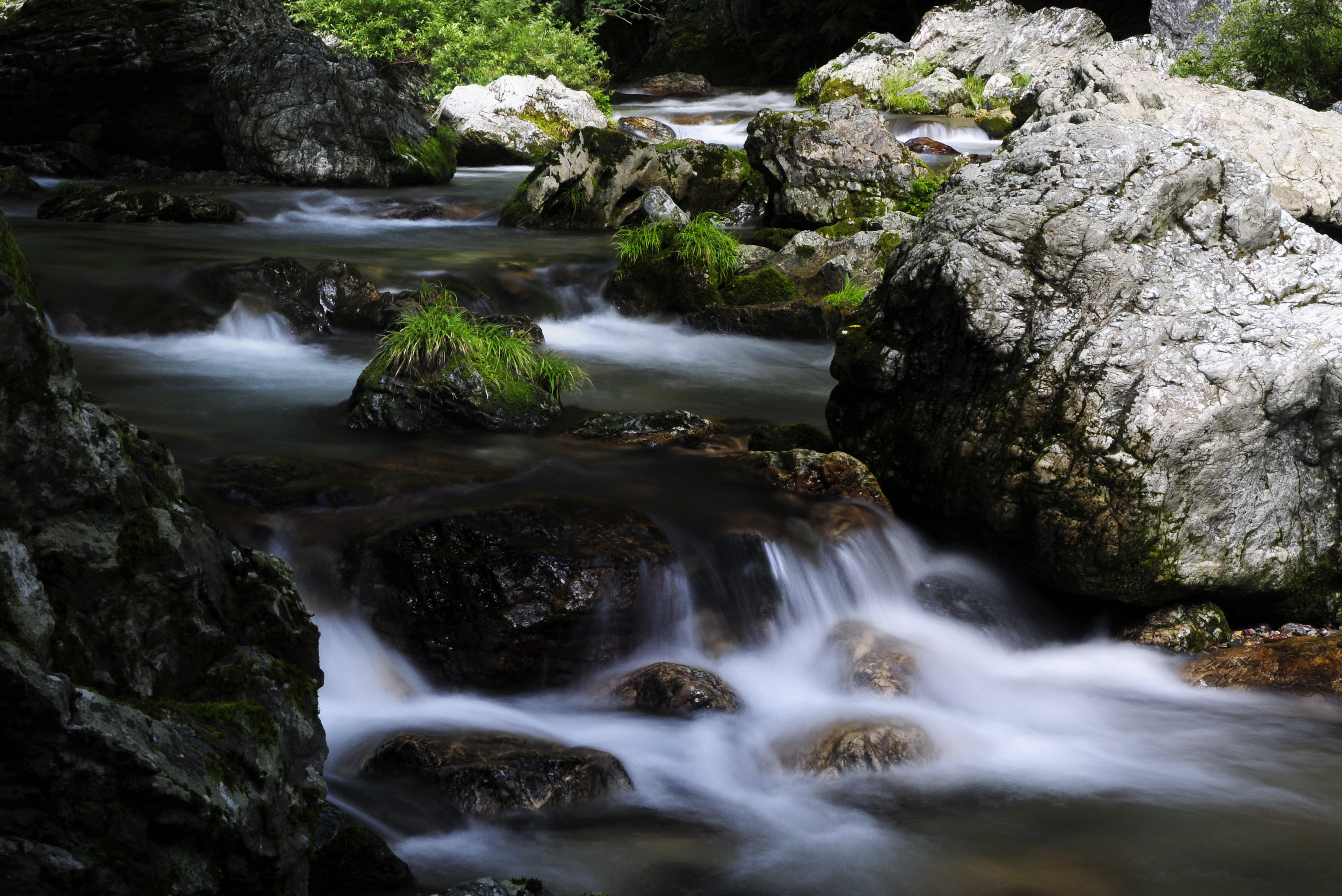
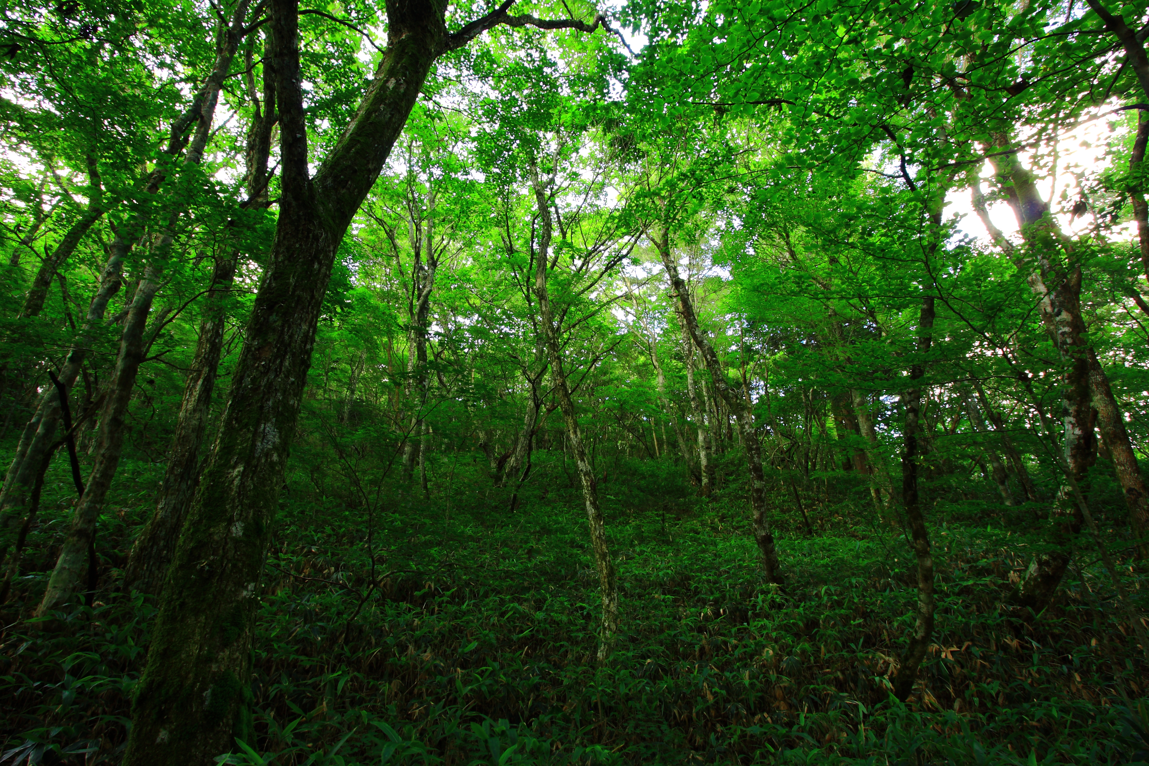
新緑薫る
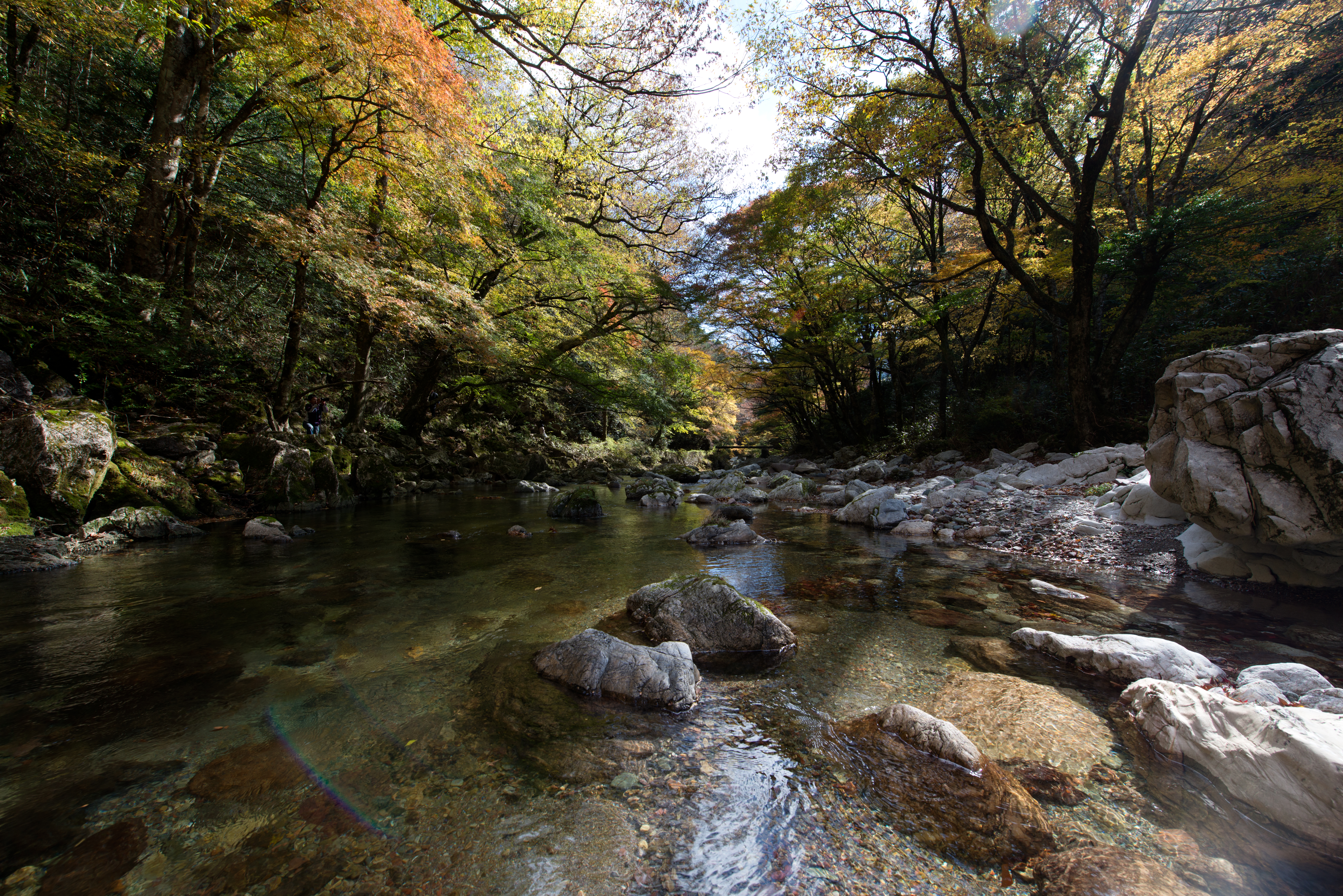
秋光浴
夢絵巻

秋への架け橋
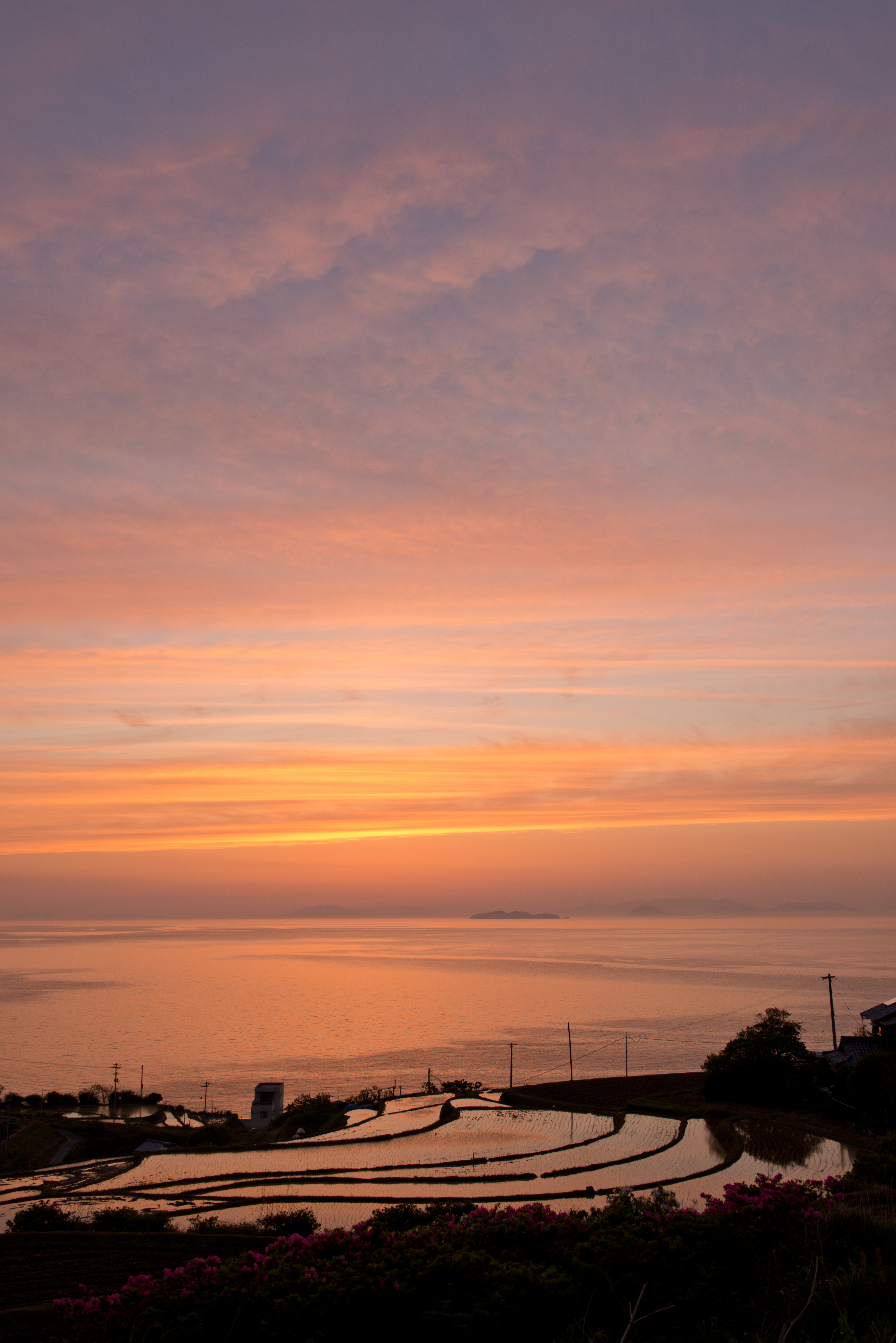
Rice Terraces of sunset colors #3
Cool place

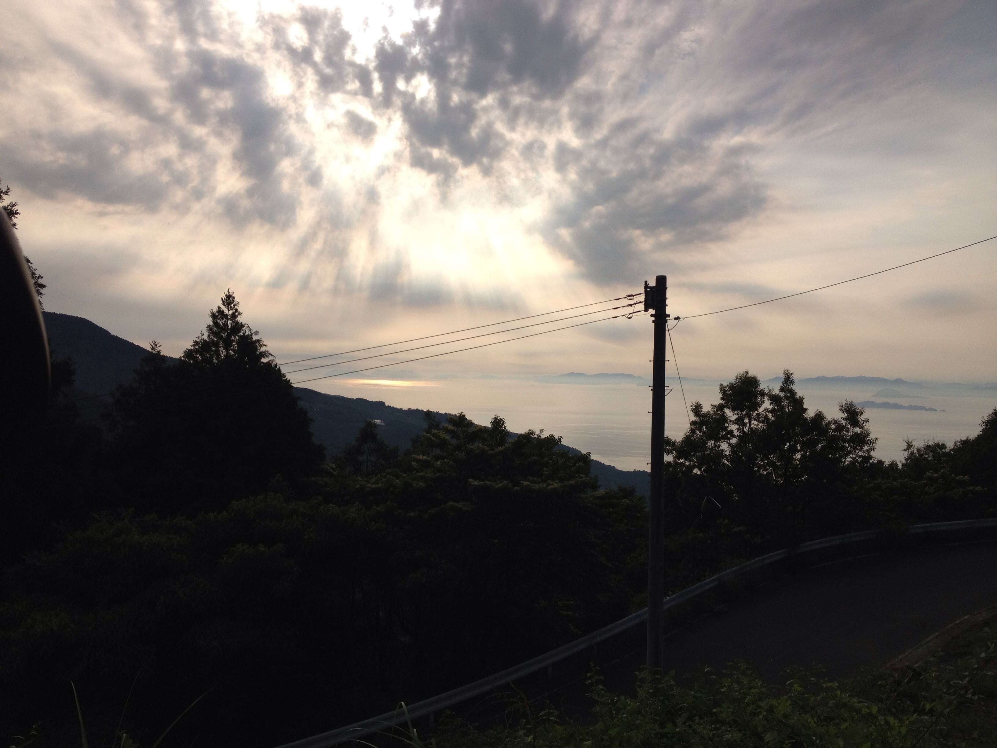
空の上
2013/6/22
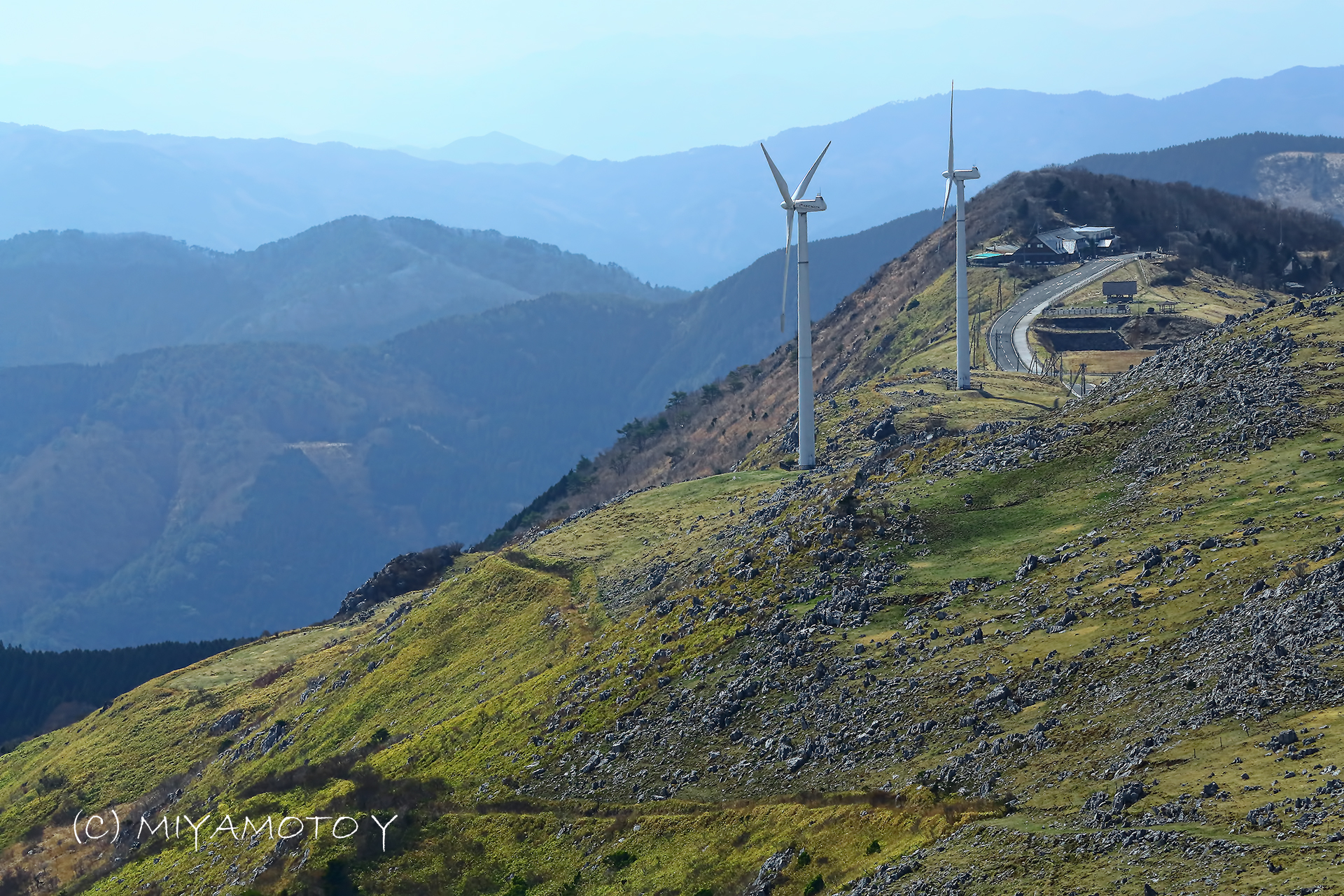
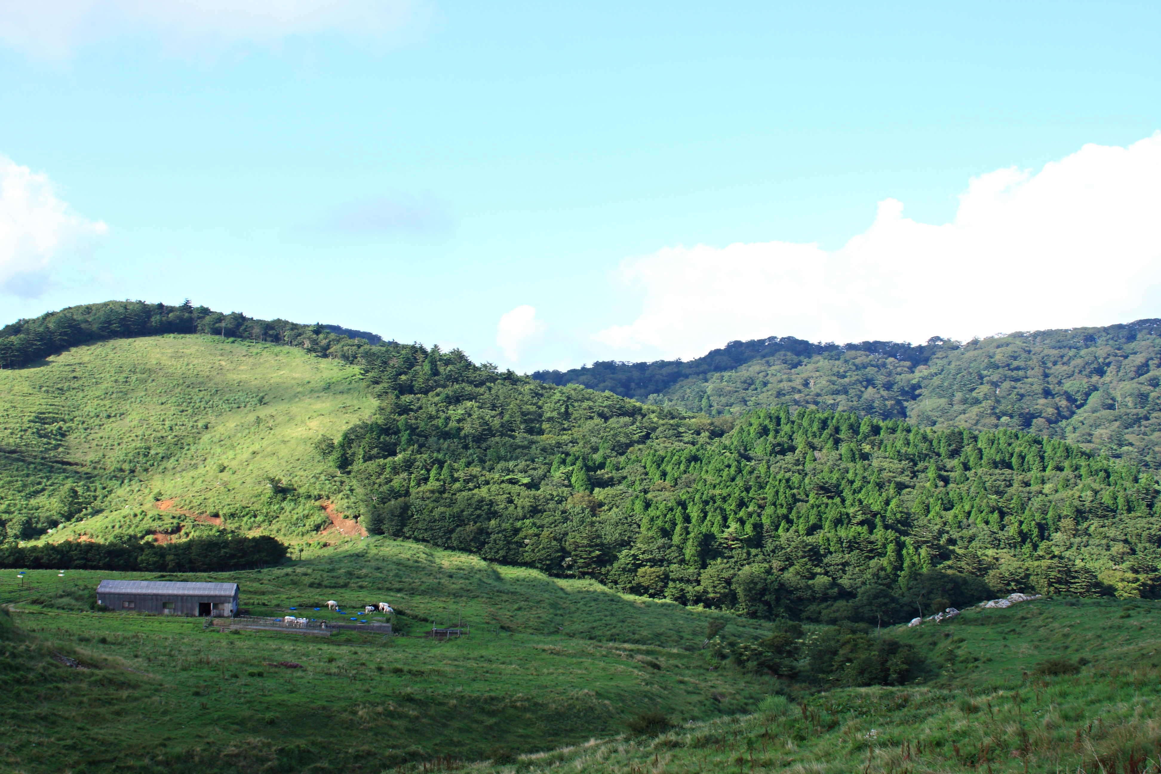
Highland in Shikoku
2013/6/22

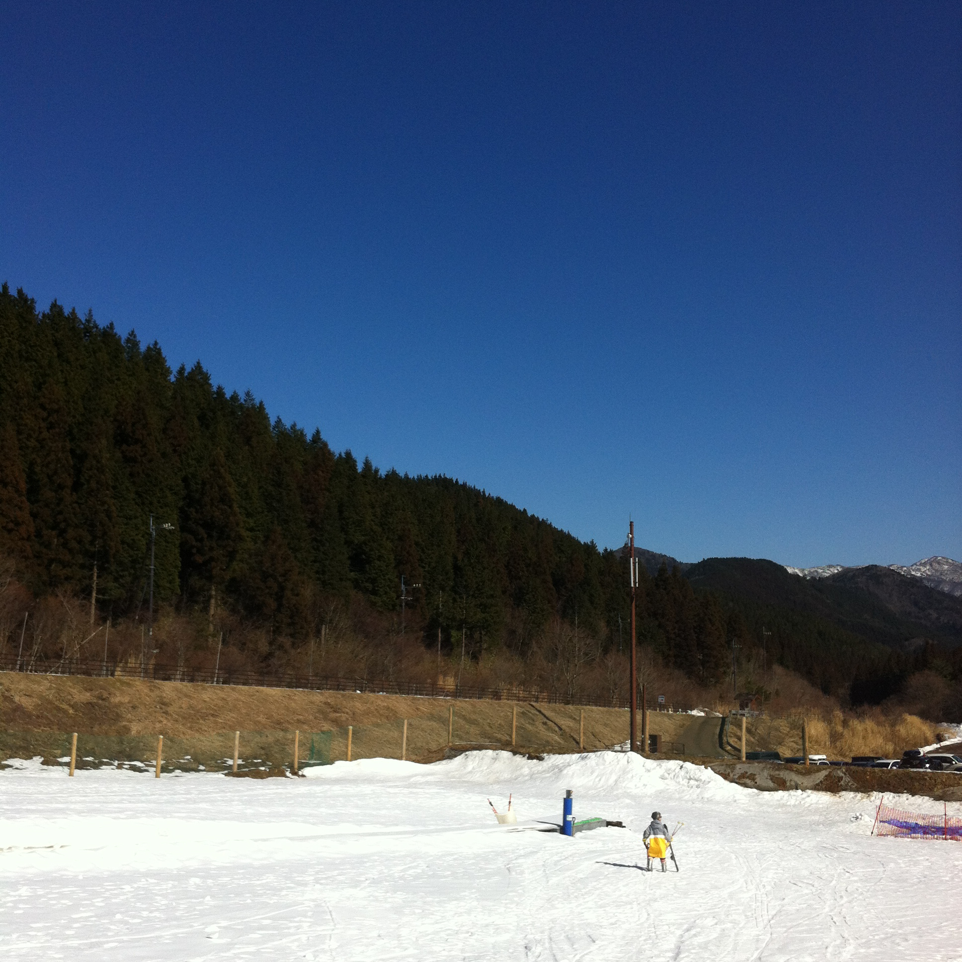
Plana skiing ground, skicenter
IMG_0642.jpg

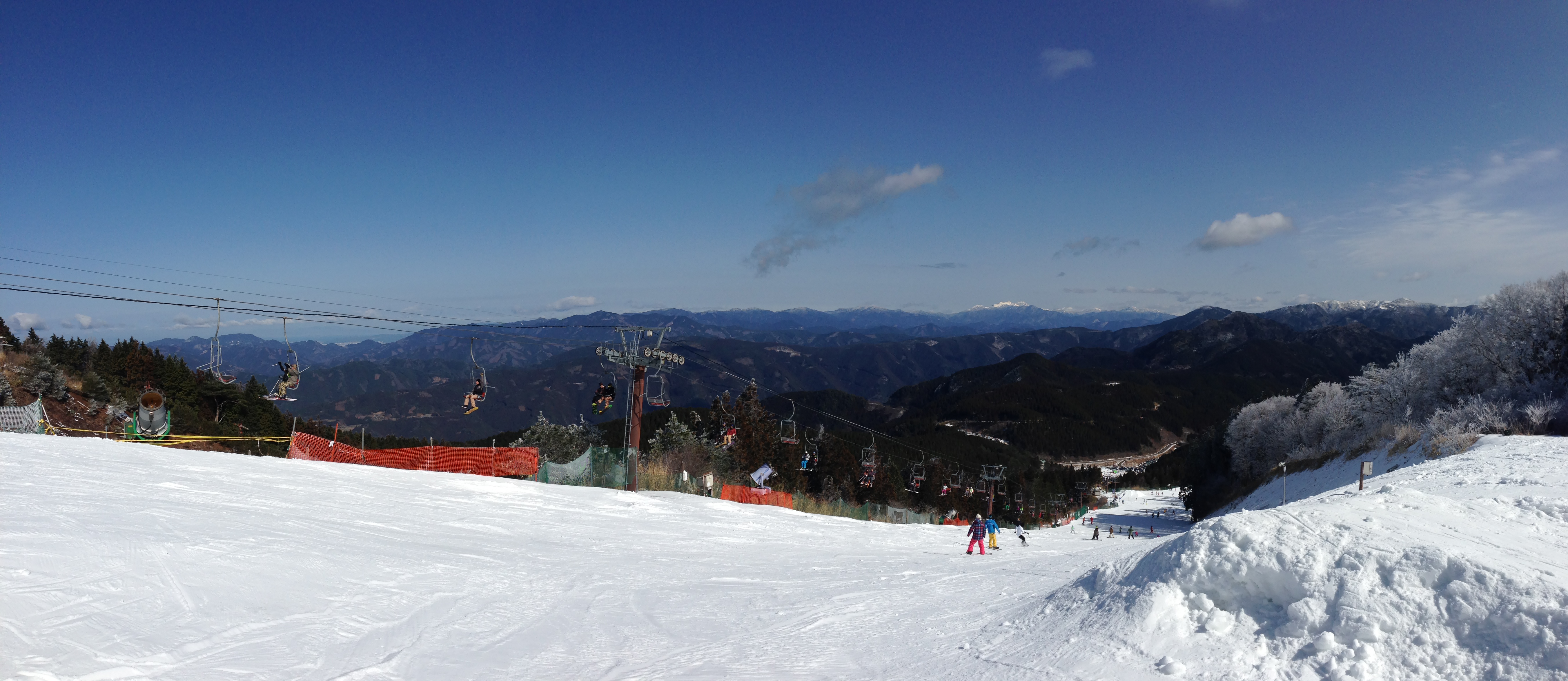
Solfa Oda skiing ground No.2 chairlift, Mt.topstation

Plana skiing ground, overview
SOLFA ODA
あぐり亭
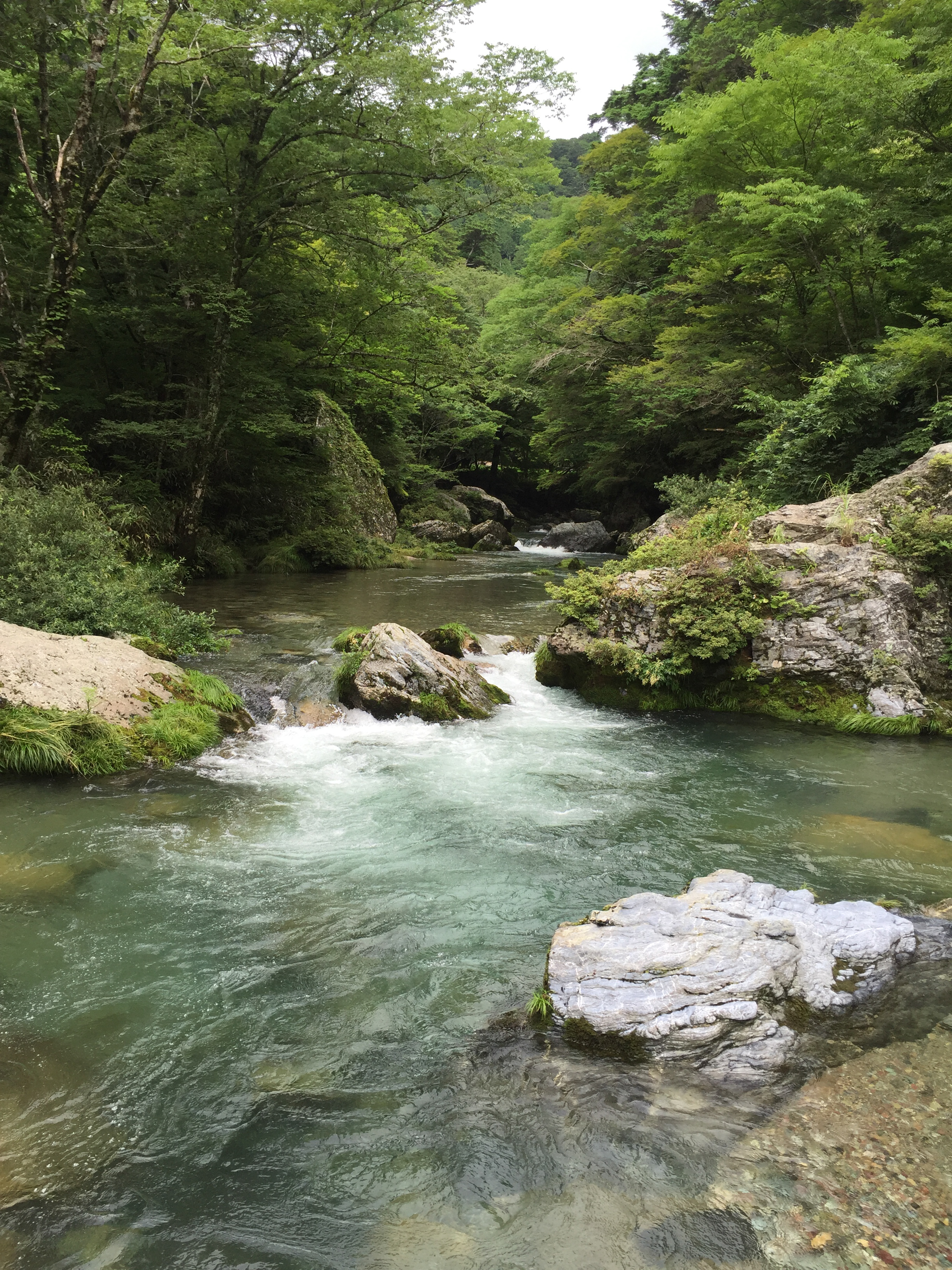
ブナ原生林 Wildwood of a beech
四国カルスト(大野ヶ原)Shikoku karst plateau
IMG_1930.jpg

IMG_1929.jpg
Topographic Map of Kita District, Ehime Prefecture, Japan
Find elevation by address:

Places in Kita District, Ehime Prefecture, Japan:
Places near Kita District, Ehime Prefecture, Japan:
Tateishi, Uchiko-chō, Kita-gun, Ehime-ken -, Japan
Nakayamacho Izubuchi
Ōhira, Uchiko-chō, Kita-gun, Ehime-ken -, Japan
Uchiko
Uchiko, Uchiko-chō, Kita-gun, Ehime-ken -, Japan
Mannen, Tobe-chō, Iyo-gun, Ehime-ken -, Japan
Iyo District
ふじ団地集会所
198 Kitakawage
Kumakogen
Tobe
-2 Kuma, Kumakōgen-chō, Kamiukena-gun, Ehime-ken -, Japan
Kutanimachi, Matsuyama-shi, Ehime-ken -, Japan
Kubonomachi, Matsuyama-shi, Ehime-ken -, Japan
-3 Nakamura, Ōzu-shi, Ehime-ken -, Japan
Ozu
Ozu
Ozu Castle
Kamiukena District
Nanatori, Kumakōgen-chō, Kamiukena-gun, Ehime-ken -, Japan
Recent Searches:
- Elevation of Fern Rd, Whitmore, CA, USA
- Elevation of 62 Abbey St, Marshfield, MA, USA
- Elevation of Fernwood, Bradenton, FL, USA
- Elevation of Felindre, Swansea SA5 7LU, UK
- Elevation of Leyte Industrial Development Estate, Isabel, Leyte, Philippines
- Elevation of W Granada St, Tampa, FL, USA
- Elevation of Pykes Down, Ivybridge PL21 0BY, UK
- Elevation of Jalan Senandin, Lutong, Miri, Sarawak, Malaysia
- Elevation of Bilohirs'k
- Elevation of 30 Oak Lawn Dr, Barkhamsted, CT, USA