Elevation of Kita-16 Dai 41 Sen, Shinshinotsu-mura, Ishikari-gun, Hokkaidō -, Japan
Location: Japan > Hokkaido Prefecture > Ishikari District > Shinshinotsu >
Longitude: 141.610819
Latitude: 43.2242722
Elevation: 8m / 26feet
Barometric Pressure: 101KPa
Elevation Map:
Satellite Map:
Related Photos:

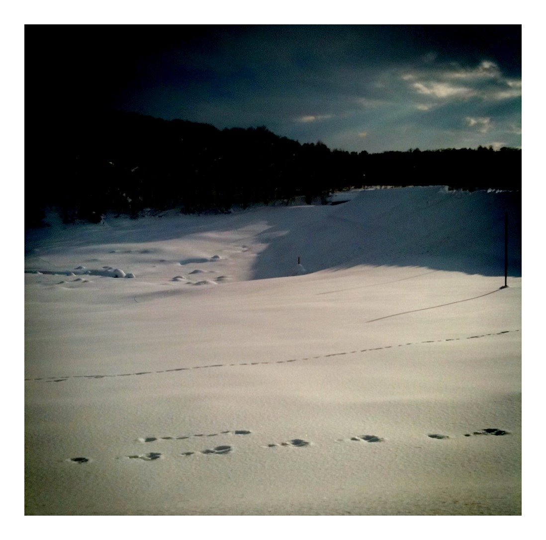
Hokkaido Green land skiing ground No.2 pair chairlift, a view from Mt.topstation

It was still in bloom

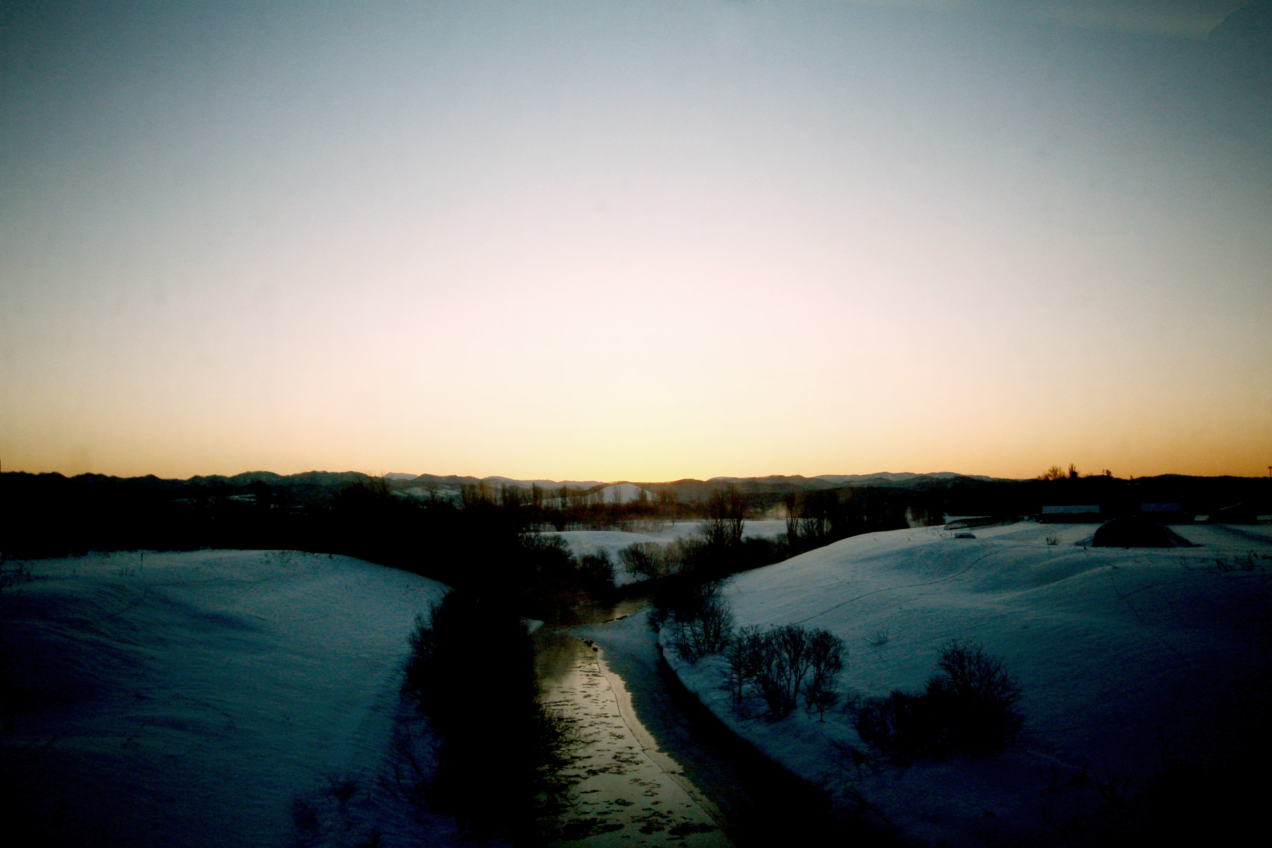
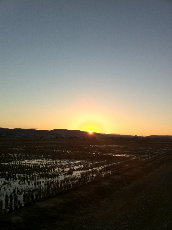
The setting sun of the Miyajima swamp
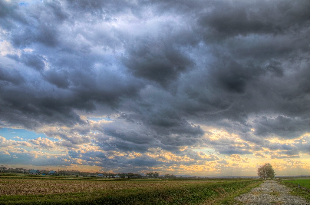
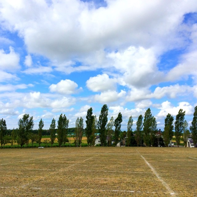
Scenery from National Route 337 of Ebetsu
River crossing

Cat's ear

Izuminonuma Koen Park

NORTH,INC

northinc's room

NORTH,INC
hokkaido highway
ネッツトヨタ道都(株) 江別店

Oyaful district of Ishikari region
Taisho-ike
北海道の音楽フェス・JOIN ALIVE2日目、いい天気!
マクドナルド岩見沢大和タウンプラザ店

Tonden Farm
セイコーマート豊幌店

石狩川江別ゴルフクラブ

晴れたー!
ポスフール岩見沢店
Topographic Map of Kita-16 Dai 41 Sen, Shinshinotsu-mura, Ishikari-gun, Hokkaidō -, Japan
Find elevation by address:

Places near Kita-16 Dai 41 Sen, Shinshinotsu-mura, Ishikari-gun, Hokkaidō -, Japan:
Shinshinotsu
9-7 Toyohorohaminguchō, Ebetsu-shi, Hokkaidō -, Japan
Tobetsu
Mihara, Ebetsu-shi, Hokkaidō -, Japan
Toyohoro, Ebetsu-shi, Hokkaidō -, Japan
Shinotsu, Ebetsu-shi, Hokkaidō -, Japan
1 Chome-7 1 Jō, Ebetsu-shi, Hokkaidō -, Japan
Ebetsubuto, Ebetsu-shi, Hokkaidō -, Japan
31-1 Akebonochō, Ebetsu-shi, Hokkaidō -, Japan
28-1 Yumemino Higashimachi, Ebetsu-shi, Hokkaidō -, Japan
-27 Tsuishikari, Ebetsu-shi, Hokkaidō -, Japan
Ebetsu
24-1 Kōeichō, Ebetsu-shi, Hokkaidō -, Japan
Kamiebetsu, Ebetsu-shi, Hokkaidō -, Japan
-46 Yahata, Ebetsu-shi, Hokkaidō -, Japan
75-12 Shineidai, Ebetsu-shi, Hokkaidō -, Japan
Higashinopporo, Ebetsu-shi, Hokkaidō -, Japan
16-4 Midorigaoka, Ebetsu-shi, Hokkaidō -, Japan
15-7 Nopporowakabachō, Ebetsu-shi, Hokkaidō -, Japan
Motonopporo, Ebetsu-shi, Hokkaidō -, Japan
Recent Searches:
- Elevation of Leguwa, Nepal
- Elevation of County Rd, Enterprise, AL, USA
- Elevation of Kolchuginsky District, Vladimir Oblast, Russia
- Elevation of Shustino, Vladimir Oblast, Russia
- Elevation of Lampiasi St, Sarasota, FL, USA
- Elevation of Elwyn Dr, Roanoke Rapids, NC, USA
- Elevation of Congressional Dr, Stevensville, MD, USA
- Elevation of Bellview Rd, McLean, VA, USA
- Elevation of Stage Island Rd, Chatham, MA, USA
- Elevation of Shibuya Scramble Crossing, 21 Udagawacho, Shibuya City, Tokyo -, Japan