Elevation of Kirksville, MO, USA
Location: United States > Missouri > Adair County >
Longitude: -92.583249
Latitude: 40.1947539
Elevation: 299m / 981feet
Barometric Pressure: 98KPa
Elevation Map:
Satellite Map:
Related Photos:

#212
#98 - FullMoon View
C-Hall

Centennial Hall
Southwest Airlines departure view

repulsive unoriginal christian t-shirt 1

#185

328/365

Barn Reflection rs

Flowers by a tree trunk

Foggy Sunrise on the Highway
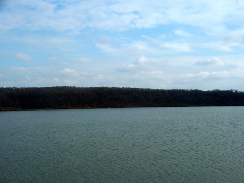
Thousand Hills Lake

Uprooted Tree near Barnett Hall
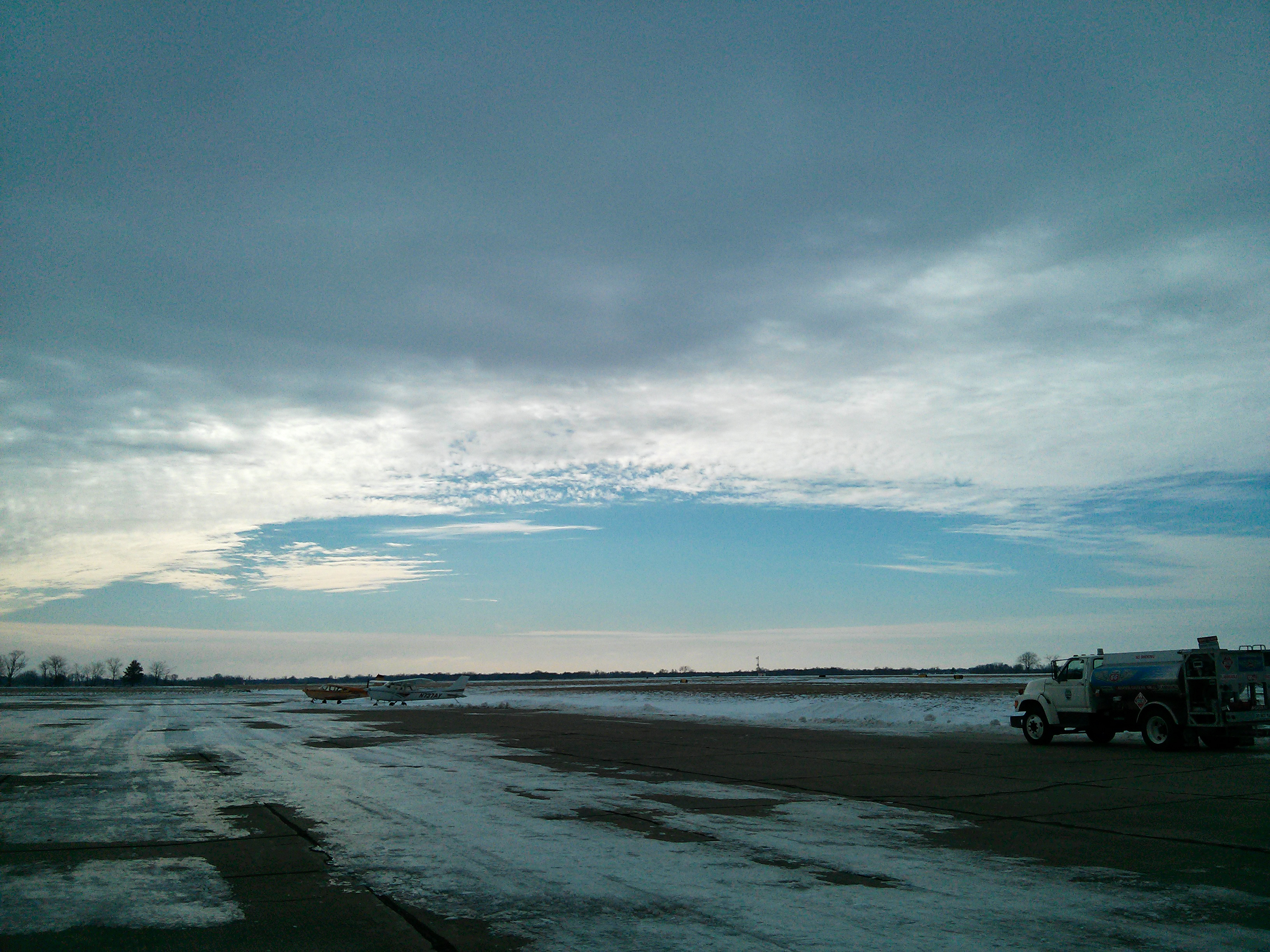
Kirksville Airport

327/365

329/365
3.29.2
3.29.4

dent de lion
240/365
Topographic Map of Kirksville, MO, USA
Find elevation by address:

Places in Kirksville, MO, USA:
Places near Kirksville, MO, USA:
100 E Normal Ave
Benton Township
Cascade Drive
Adair County
1st Millard St, Kirksville, MO, USA
Millard
Pettis Township
Morgan Rd, Greentop, MO, USA
Polk Township
Missouri Farmers Care
Greentop, MO, USA
La Plata
S Gex St, La Plata, MO, USA
30552 Lantern St
La Plata Township
State Hwy OO, Atlanta, MO, USA
Missouri J, Ethel, MO, USA
Schuyler County
Macon County
705 Park St
Recent Searches:
- Elevation of Sarangdanda, Nepal
- Elevation of 7 Waterfall Way, Tomball, TX, USA
- Elevation of SW 57th Ave, Portland, OR, USA
- Elevation of Crocker Dr, Vacaville, CA, USA
- Elevation of Pu Ngaol Community Meeting Hall, HWHM+3X7, Krong Saen Monourom, Cambodia
- Elevation of Royal Ontario Museum, Queens Park, Toronto, ON M5S 2C6, Canada
- Elevation of Groblershoop, South Africa
- Elevation of Power Generation Enterprises | Industrial Diesel Generators, Oak Ave, Canyon Country, CA, USA
- Elevation of Chesaw Rd, Oroville, WA, USA
- Elevation of N, Mt Pleasant, UT, USA