Elevation of Kirirom National Park, Cambodia
Location: Cambodia > Kampong Speu Province > Phnom Sruoch > Traeng Trayueng >
Longitude: 104.053676
Latitude: 11.321403
Elevation: 641m / 2103feet
Barometric Pressure: 94KPa
Elevation Map:
Satellite Map:
Related Photos:
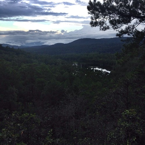
A lake view on a mountain #kirirom #cambodia
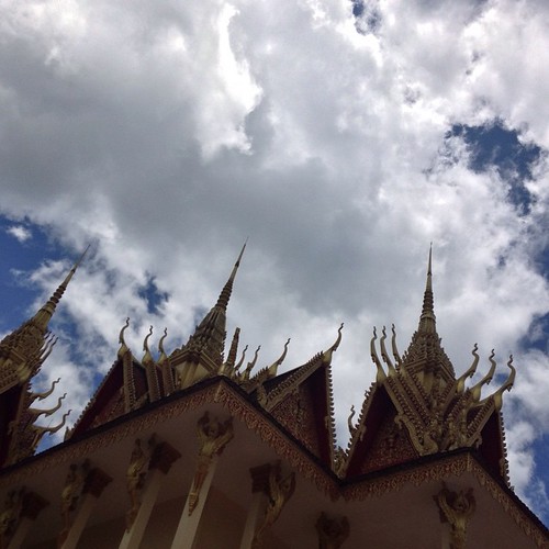
Sky #PchumPen #Kirirom #Cambodia 2
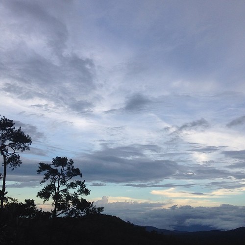
#sunset #kirirom #cambodia
I am dehydrated at #chambok #waterfall #kirirom #cambodia
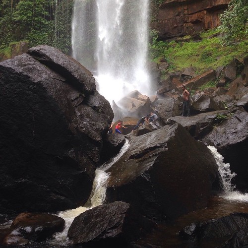
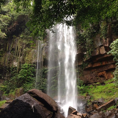
Cham Bok #3 waterfall #chambok #Kirirom #Cambodia
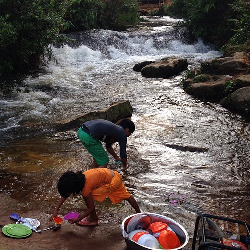
Local kids washing dishes for restaurants. #Khmer #Kirirom #Cambodia
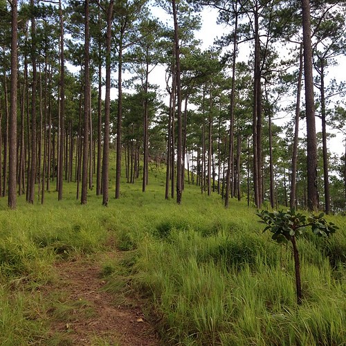
Cool breezes combing pine trees & grass #Kirirom #Cambodia
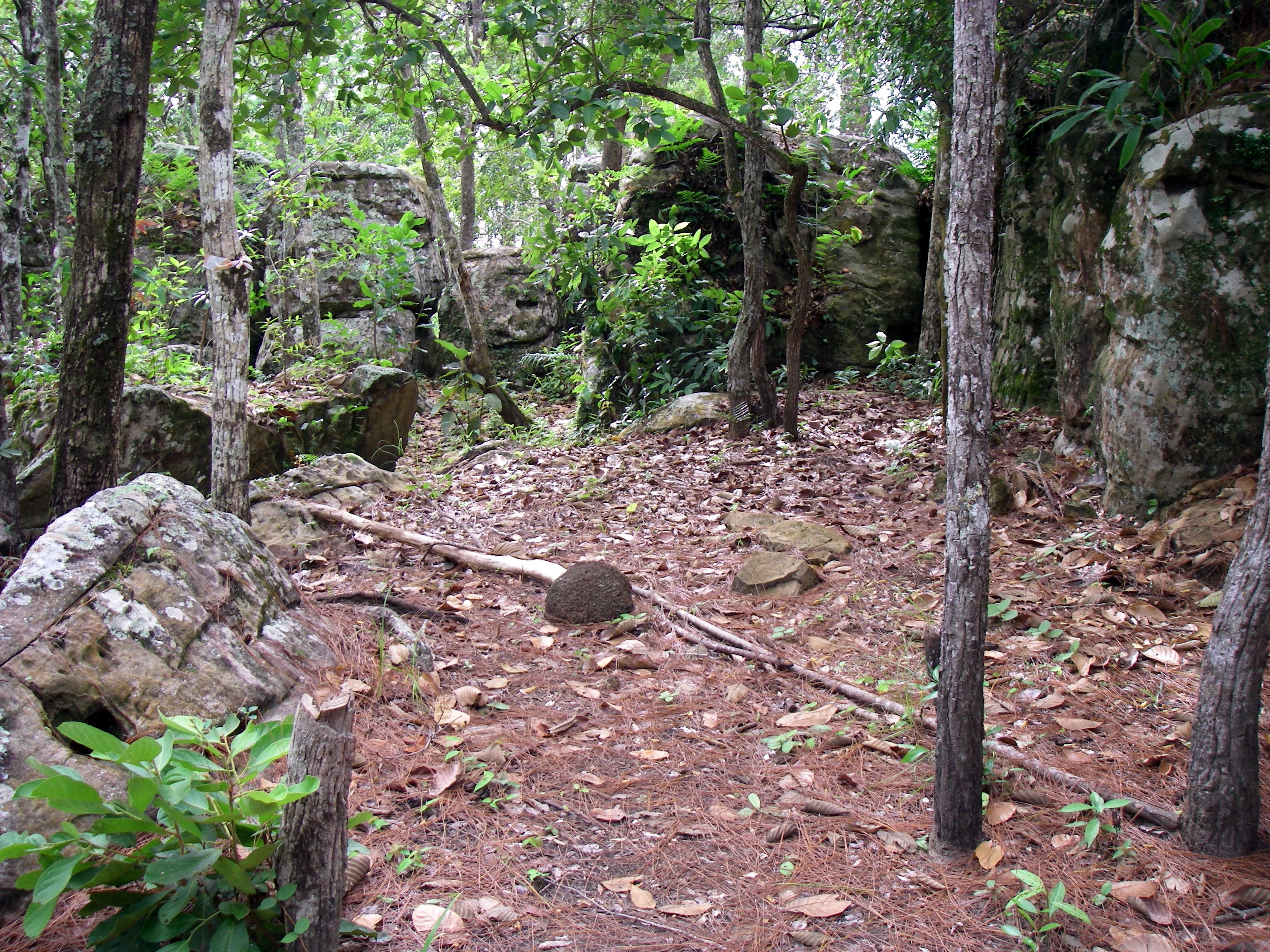
Kirirom Felsen
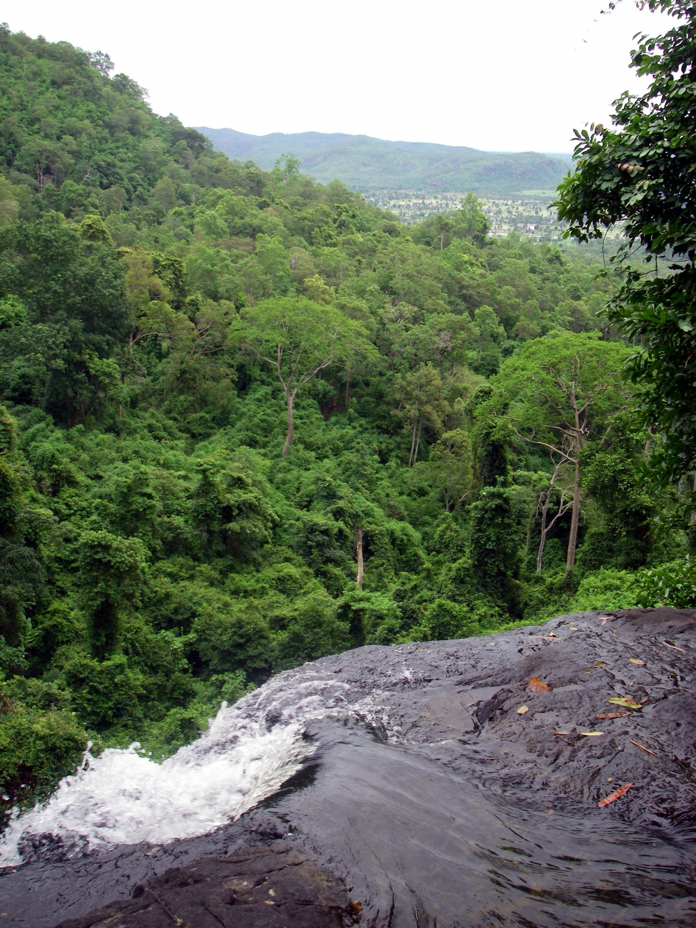
Wasserfall Kirirom oben
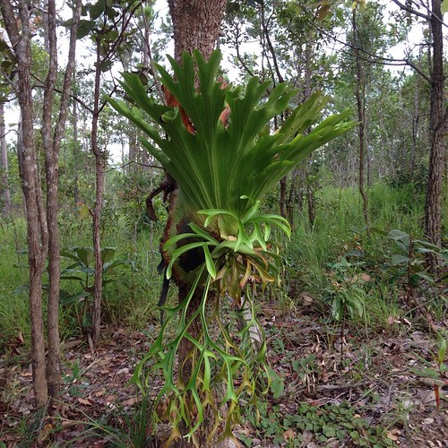
At last I found Its name. #박쥐란 #Platycerium #StaghornFern #ElkhornFern #Kirirom #Cambodia
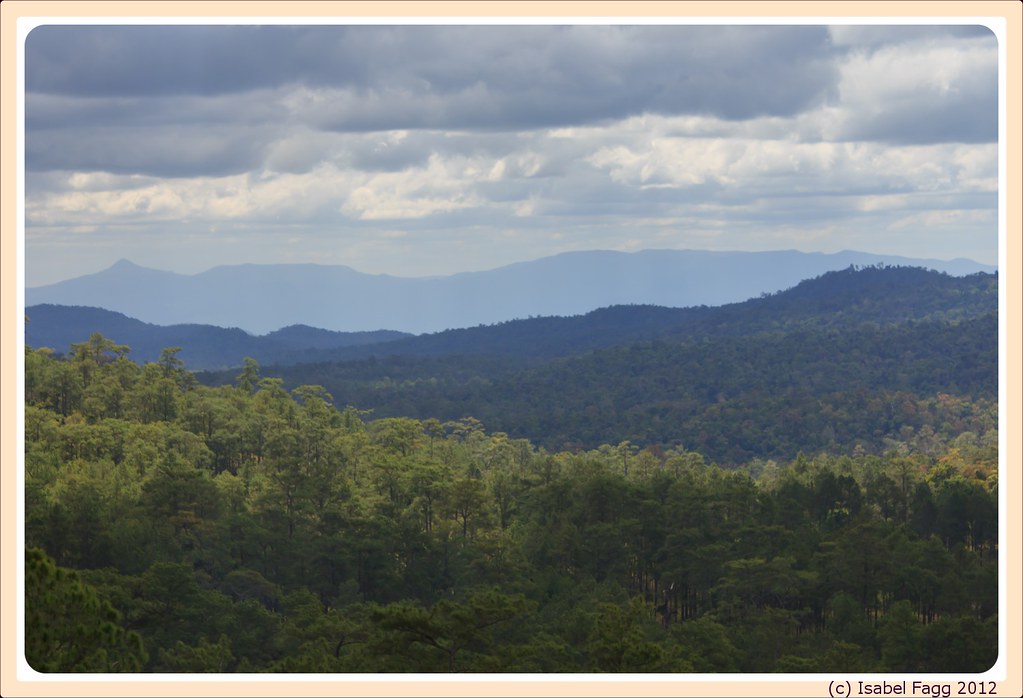
Kirirom National Park

Kirirom National Park
Topographic Map of Kirirom National Park, Cambodia
Find elevation by address:

Places near Kirirom National Park, Cambodia:
Recent Searches:
- Elevation of SW 57th Ave, Portland, OR, USA
- Elevation of Crocker Dr, Vacaville, CA, USA
- Elevation of Pu Ngaol Community Meeting Hall, HWHM+3X7, Krong Saen Monourom, Cambodia
- Elevation of Royal Ontario Museum, Queens Park, Toronto, ON M5S 2C6, Canada
- Elevation of Groblershoop, South Africa
- Elevation of Power Generation Enterprises | Industrial Diesel Generators, Oak Ave, Canyon Country, CA, USA
- Elevation of Chesaw Rd, Oroville, WA, USA
- Elevation of N, Mt Pleasant, UT, USA
- Elevation of 6 Rue Jules Ferry, Beausoleil, France
- Elevation of Sattva Horizon, 4JC6+G9P, Vinayak Nagar, Kattigenahalli, Bengaluru, Karnataka, India