Elevation of King Township, SD, USA
Location: United States > South Dakota > Tripp County >
Longitude: -99.790178
Latitude: 43.5428861
Elevation: 562m / 1844feet
Barometric Pressure: 95KPa
Elevation Map:
Satellite Map:
Related Photos:
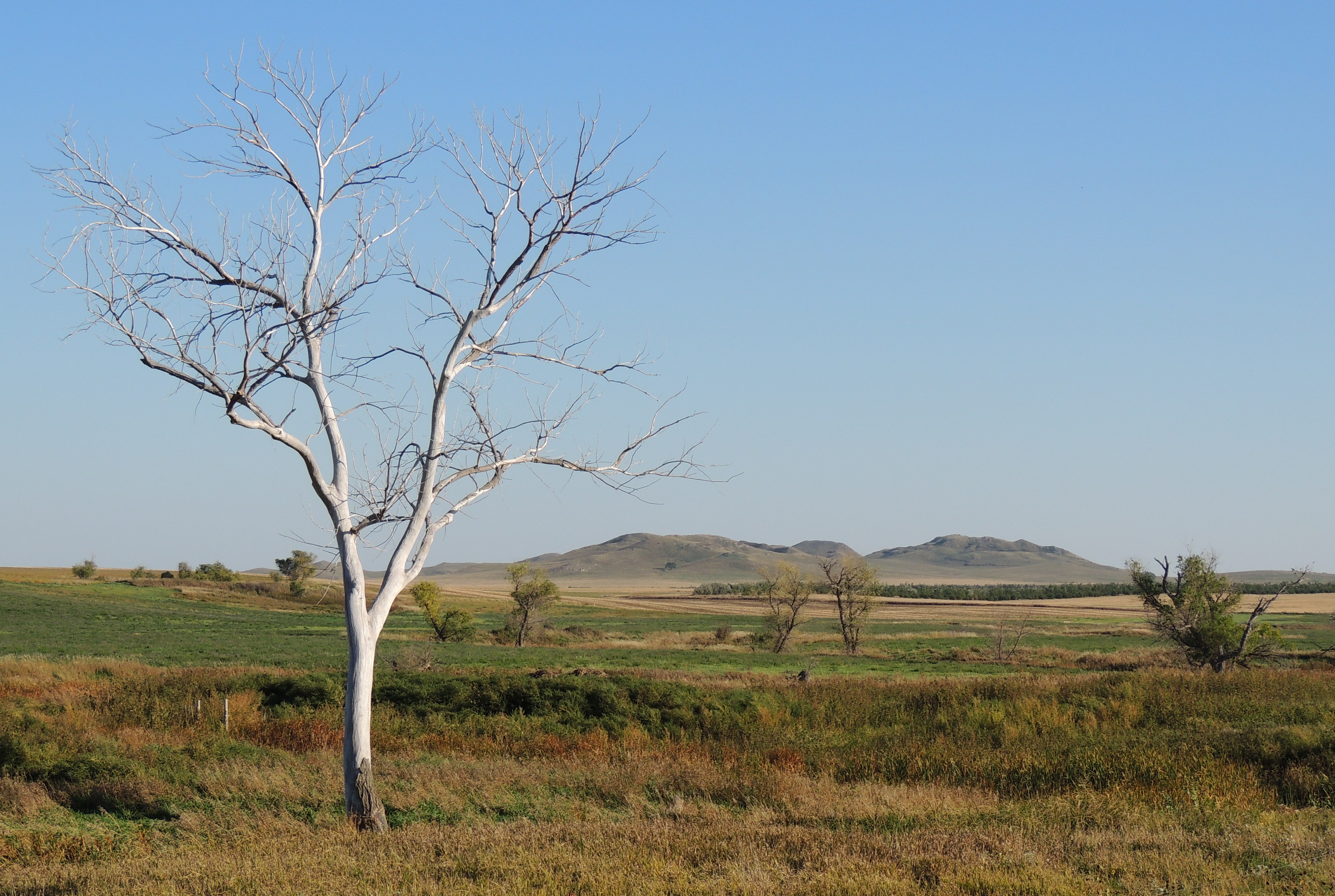
Old Cottonwood

Cold weather hunting with South Dakota Corngrowers

Sponge böb
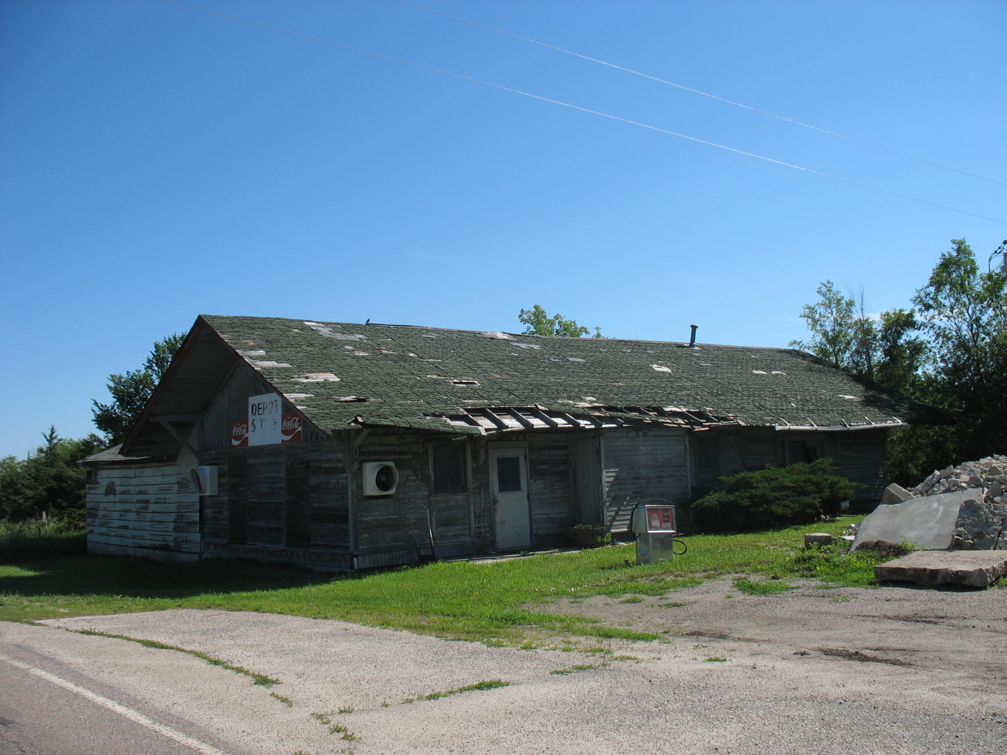
Reliance, SD, Milwaukee Depot

Red Fox in Den
Topographic Map of King Township, SD, USA
Find elevation by address:

Places near King Township, SD, USA:
31900 269th St
Lamro Township
28324 320th Ave
28346 321st Ave
Colome High School
Colome
Main St, Colome, SD, USA
409 Main St
408 W 6th St
33376 Buffalo Butte Rd
Tripp County
Dixon Township
28954 321st Ave
Elliston Township
29307 320th Ave
29307 320th Ave
32951 290th St
Dallas
Stewart Township
Lake Township
Recent Searches:
- Elevation of Kreuzburger Weg 13, Düsseldorf, Germany
- Elevation of Gateway Blvd SE, Canton, OH, USA
- Elevation of East W.T. Harris Boulevard, E W.T. Harris Blvd, Charlotte, NC, USA
- Elevation of West Sugar Creek, Charlotte, NC, USA
- Elevation of Wayland, NY, USA
- Elevation of Steadfast Ct, Daphne, AL, USA
- Elevation of Lagasgasan, X+CQH, Tiaong, Quezon, Philippines
- Elevation of Rojo Ct, Atascadero, CA, USA
- Elevation of Flagstaff Drive, Flagstaff Dr, North Carolina, USA
- Elevation of Avery Ln, Lakeland, FL, USA