Elevation of King Rd, Smithboro, IL, USA
Location: United States > Illinois > Bond County > Pleasant Mound Township >
Longitude: -89.317425
Latitude: 38.9123792
Elevation: 173m / 568feet
Barometric Pressure: 99KPa
Elevation Map:
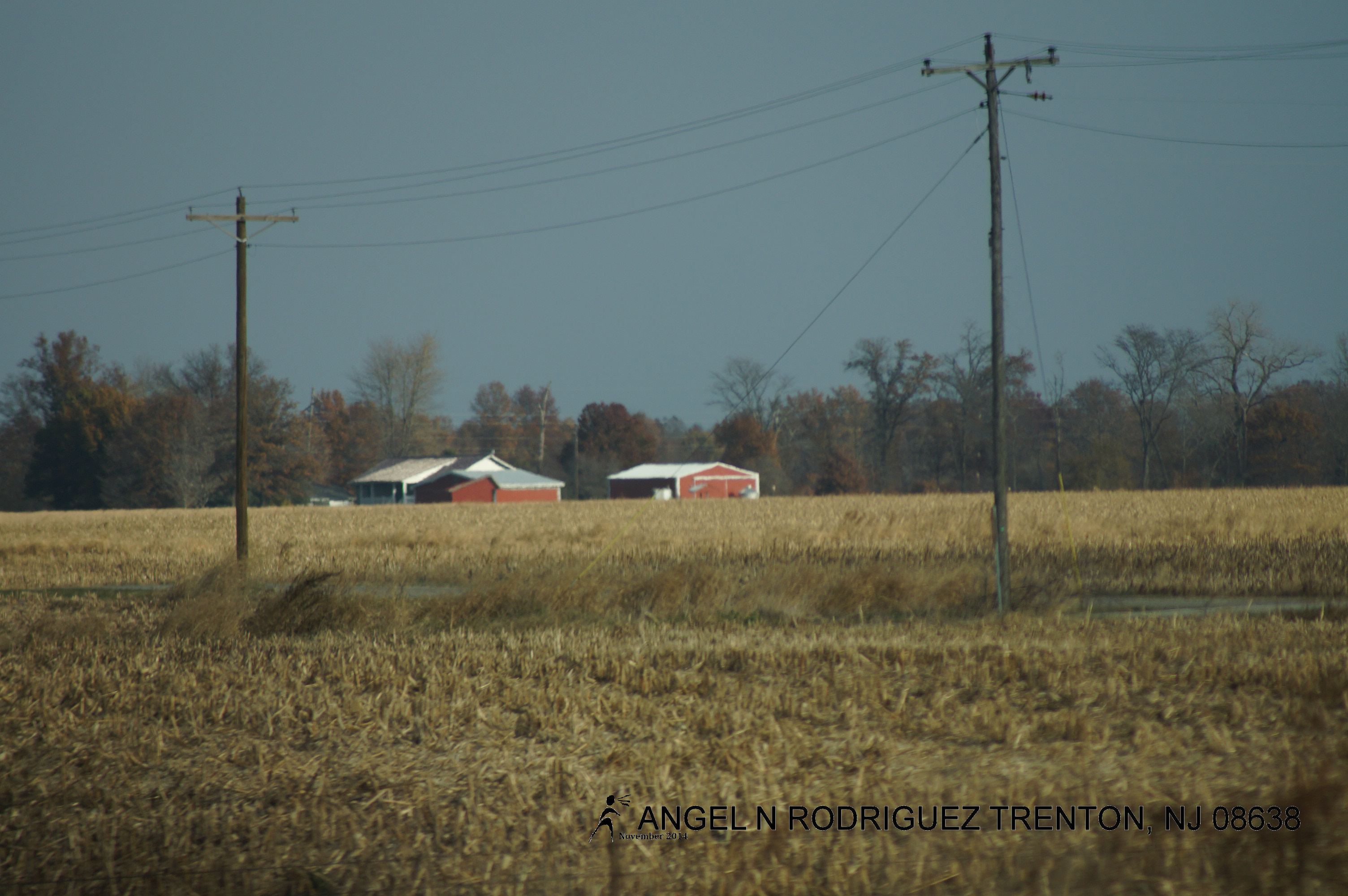
Satellite Map:
Related Photos:

2006-07-04 040

Hunky-Dory

Home Again, Home Again, Jiggity Jig
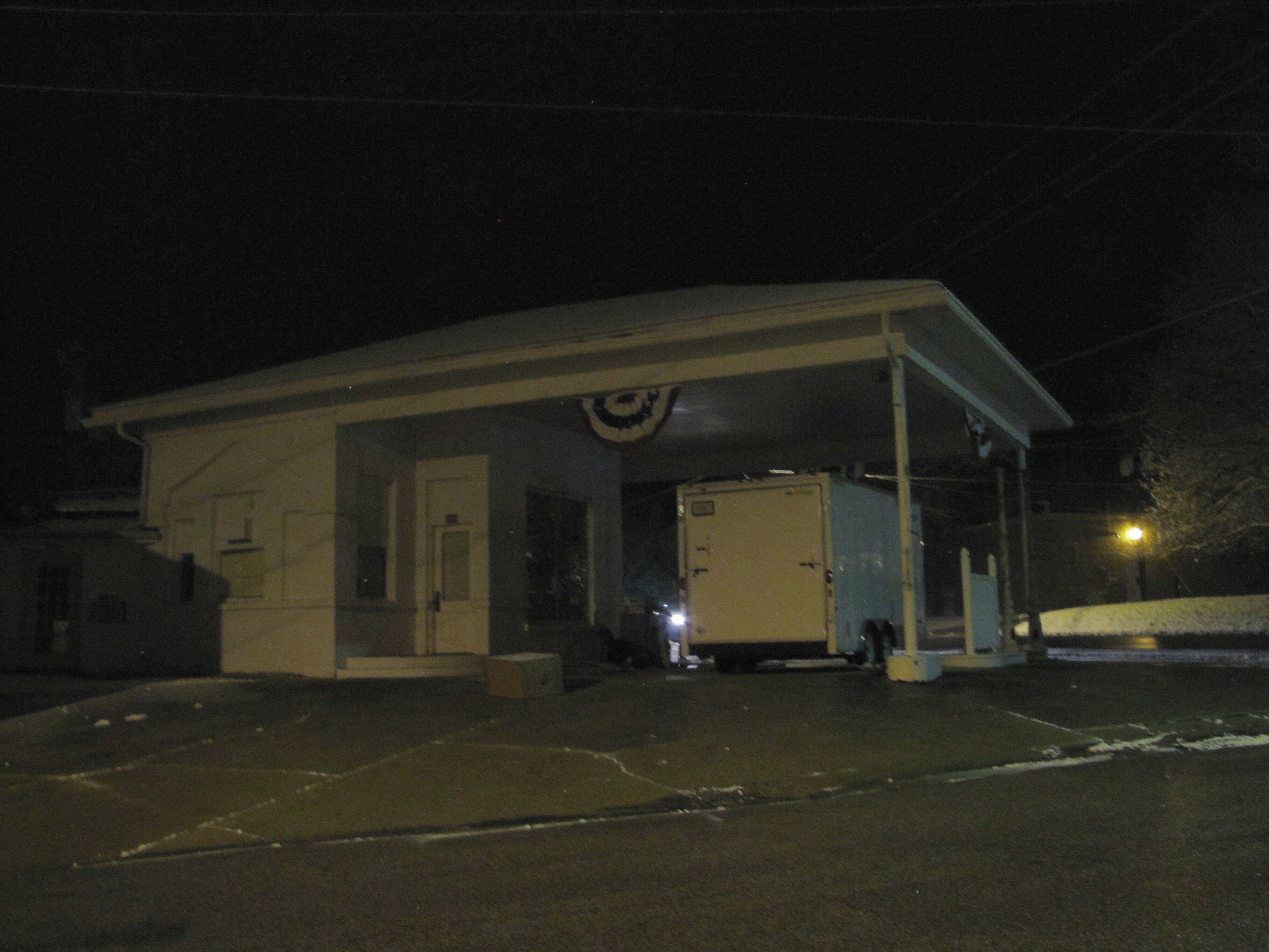
Vintage service station by night

Take the Long Road
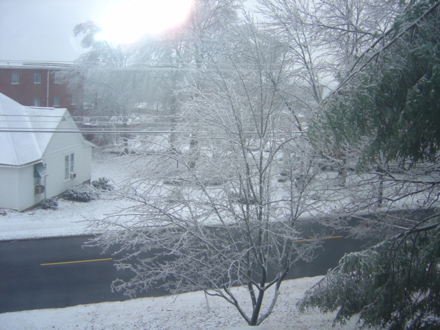
snow & ice.
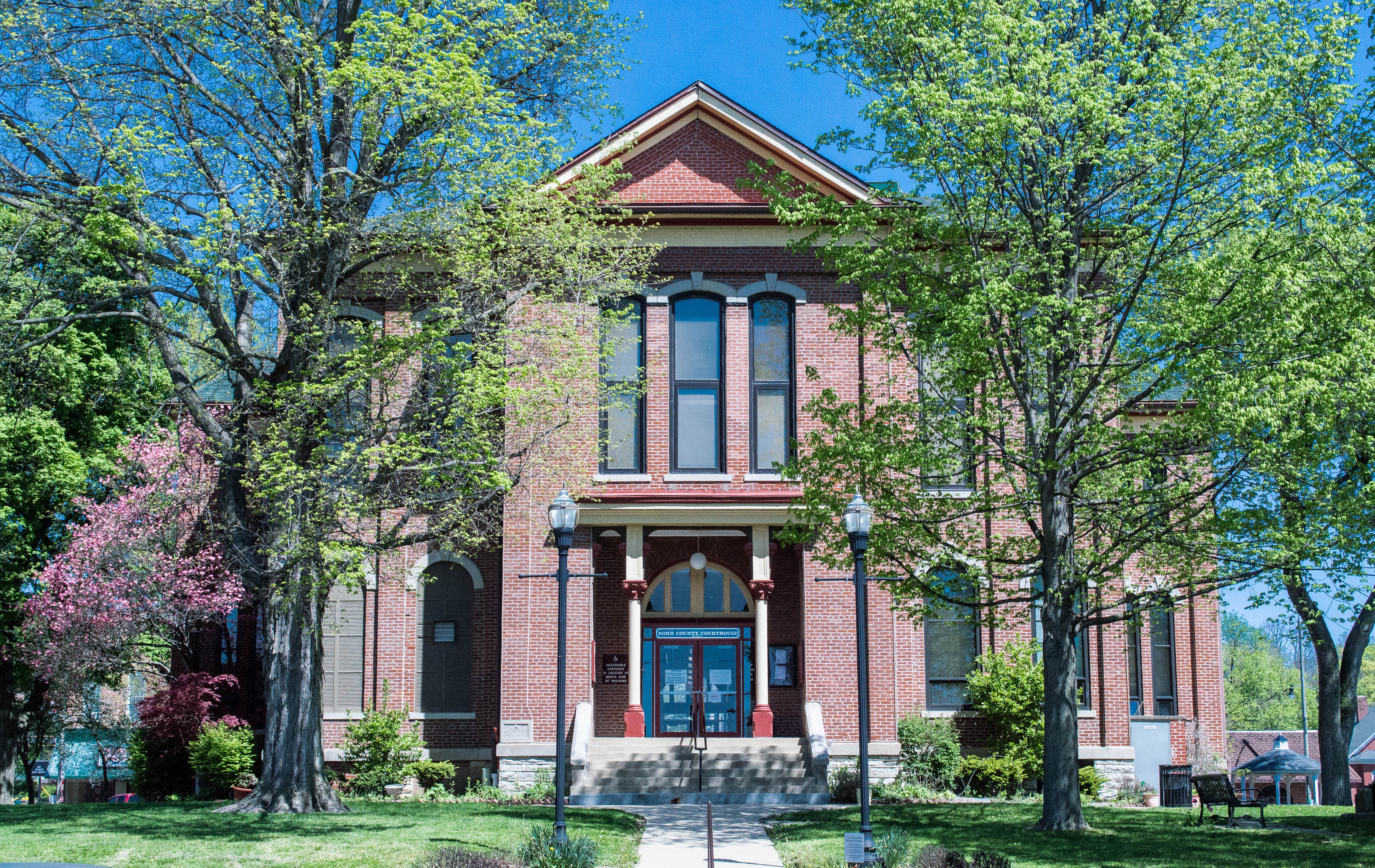
Illinois, Bond County Courthouse

The Road

Old Wallpaper

Sunset over Pond

From West to East

From West to East
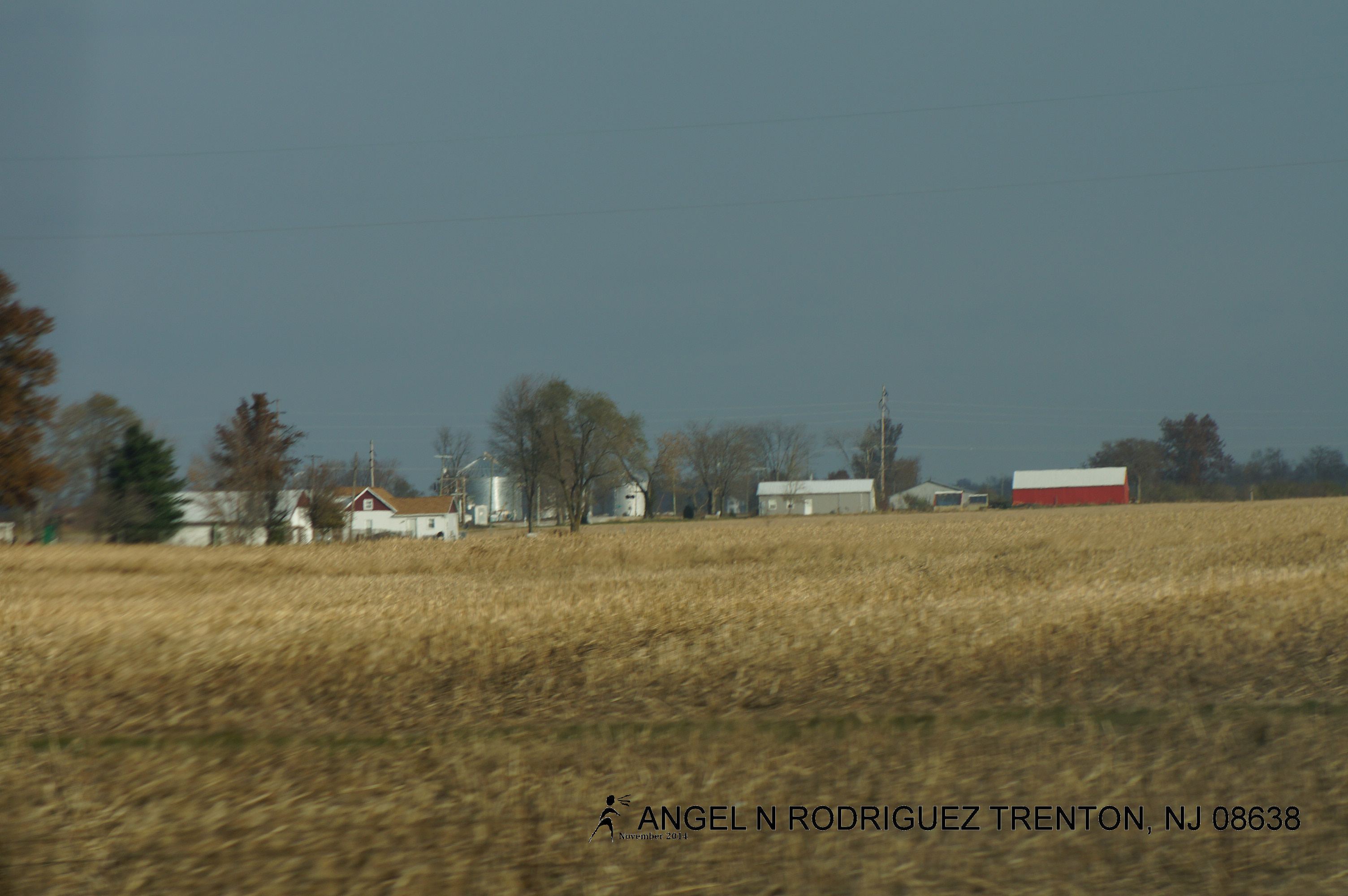
From West to East
From West to East

From West to East
Topographic Map of King Rd, Smithboro, IL, USA
Find elevation by address:

Places near King Rd, Smithboro, IL, USA:
1096 King Rd
IL-, Smithboro, IL, USA
Smithboro
Pleasant Mound Township
Mulberry Grove
Greenville
N 3rd St, Greenville, IL, USA
Central Township
Bond County
IL-, Vandalia, IL, USA
Shafter Township
Maple St, Carlyle, IL, USA
Irishtown Township
Po Box, Mascoutah, IL, USA
Fillmore
W Fillmore St, Fillmore, IL, USA
817 Old Theater Dr
508 S Cherry St
Fillmore Township
County Rd N, Bingham, IL, USA
Recent Searches:
- Elevation of Elwyn Dr, Roanoke Rapids, NC, USA
- Elevation of Congressional Dr, Stevensville, MD, USA
- Elevation of Bellview Rd, McLean, VA, USA
- Elevation of Stage Island Rd, Chatham, MA, USA
- Elevation of Shibuya Scramble Crossing, 21 Udagawacho, Shibuya City, Tokyo -, Japan
- Elevation of Jadagoniai, Kaunas District Municipality, Lithuania
- Elevation of Pagonija rock, Kranto 7-oji g. 8"N, Kaunas, Lithuania
- Elevation of Co Rd 87, Jamestown, CO, USA
- Elevation of Tenjo, Cundinamarca, Colombia
- Elevation of Côte-des-Neiges, Montreal, QC H4A 3J6, Canada