Elevation of King Range, California, USA
Location: United States > California > Humboldt County > Honeydew >
Longitude: -124.13420
Latitude: 40.1651406
Elevation: 1174m / 3852feet
Barometric Pressure: 88KPa
Elevation Map:
Satellite Map:
Related Photos:
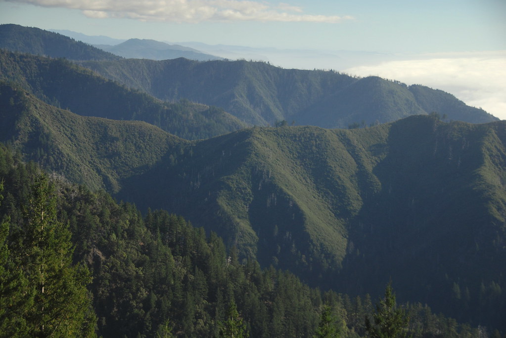
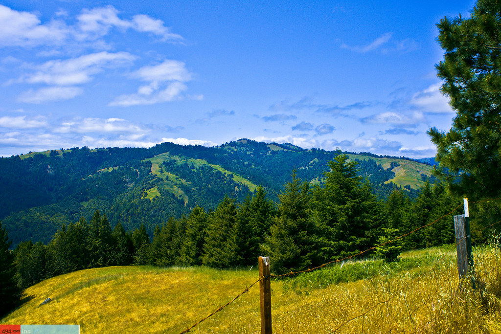
View of the King Range from Mattole Road, Humboldt County, California

Black Sand sunset
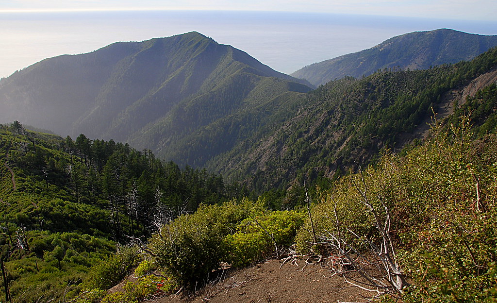
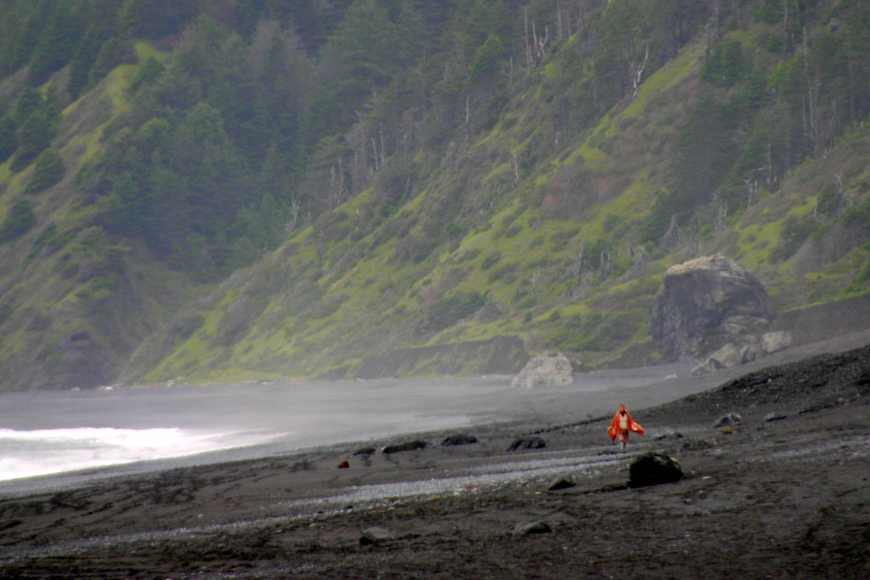
View from Spanish Ridge down to the Lost Coast Trail, King Range, Humboldt County, California
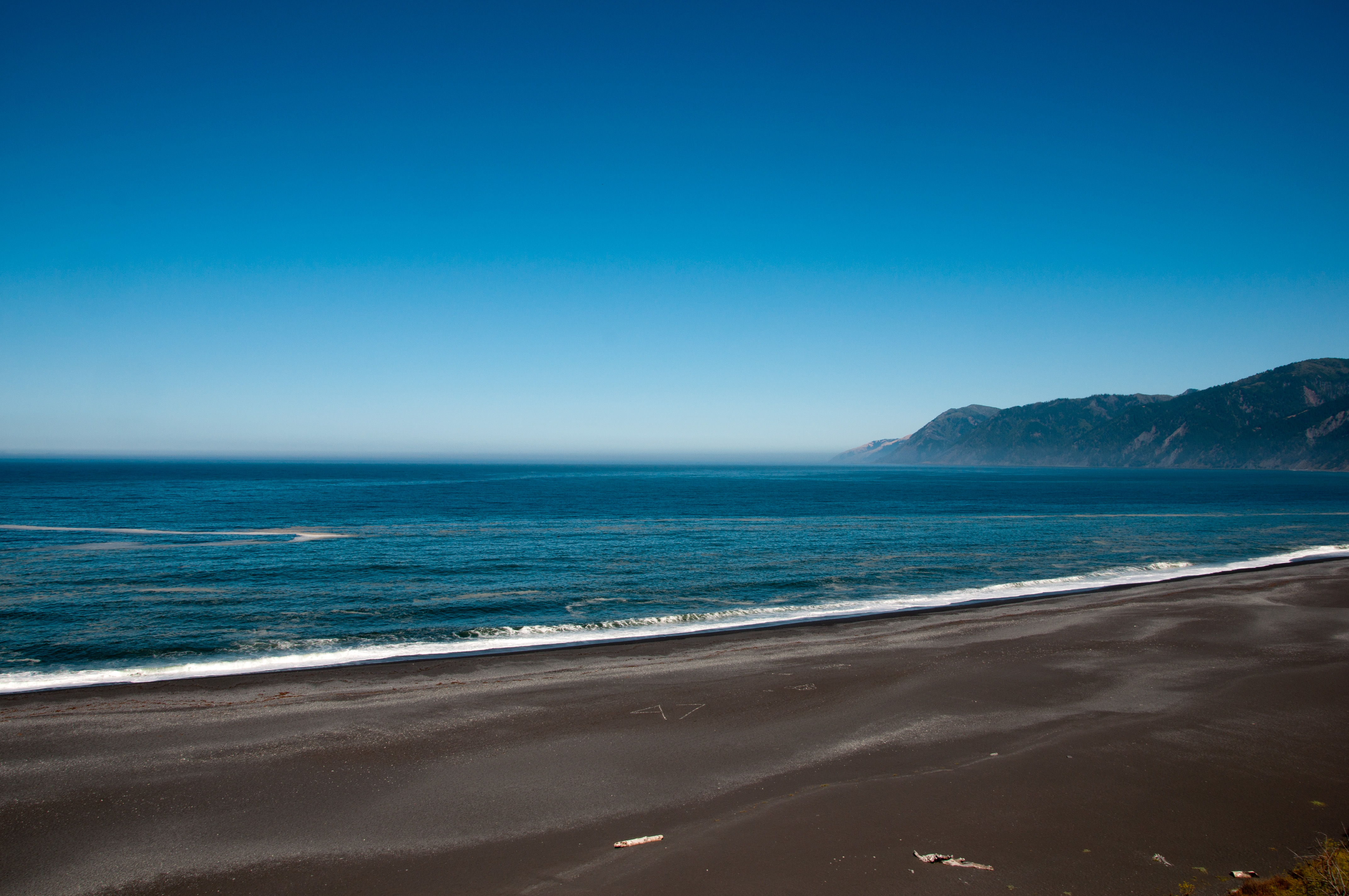
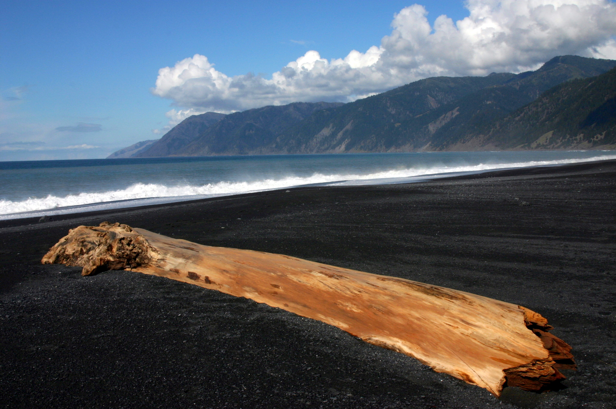
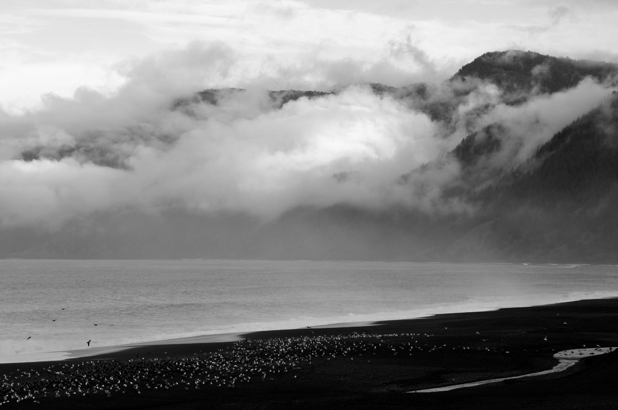
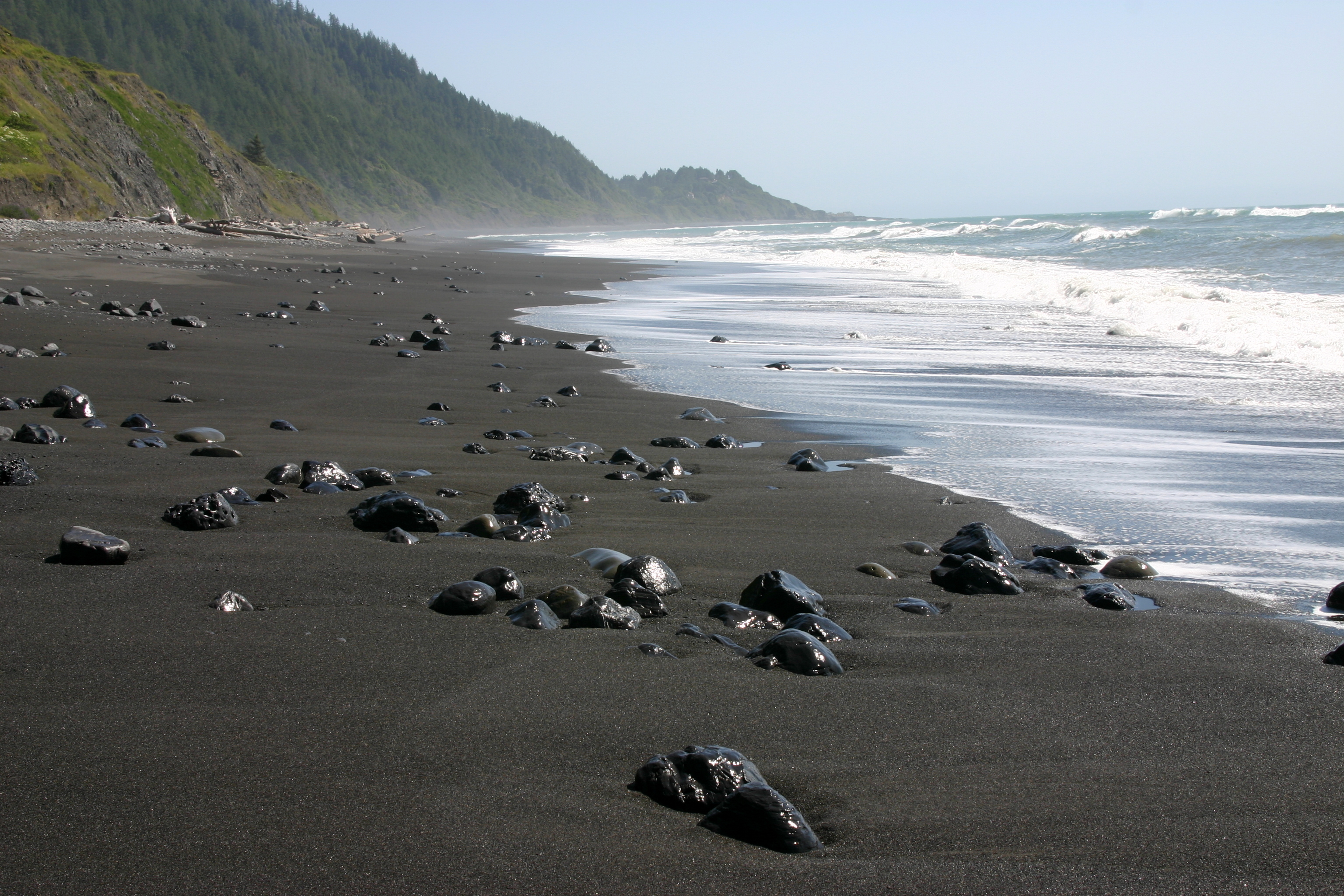
Black Sand Beach

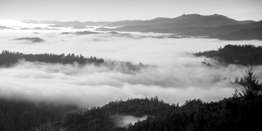
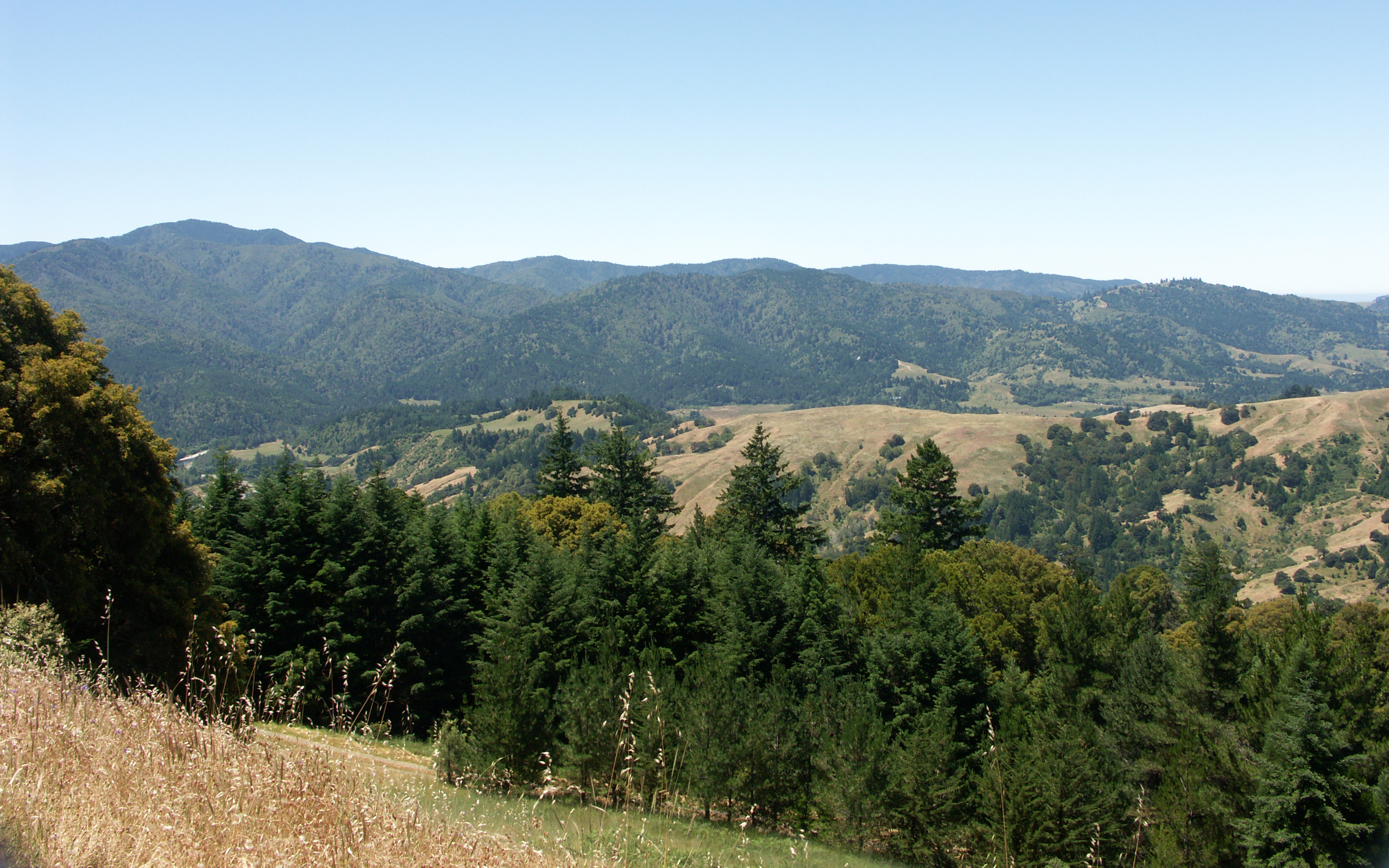
View from King Range over Humboldt State Redwoods, Humboldt County, California
View down to coast from Rattlesnake ridge and King Crest Trail intersection, King Range, Humboldt County, California

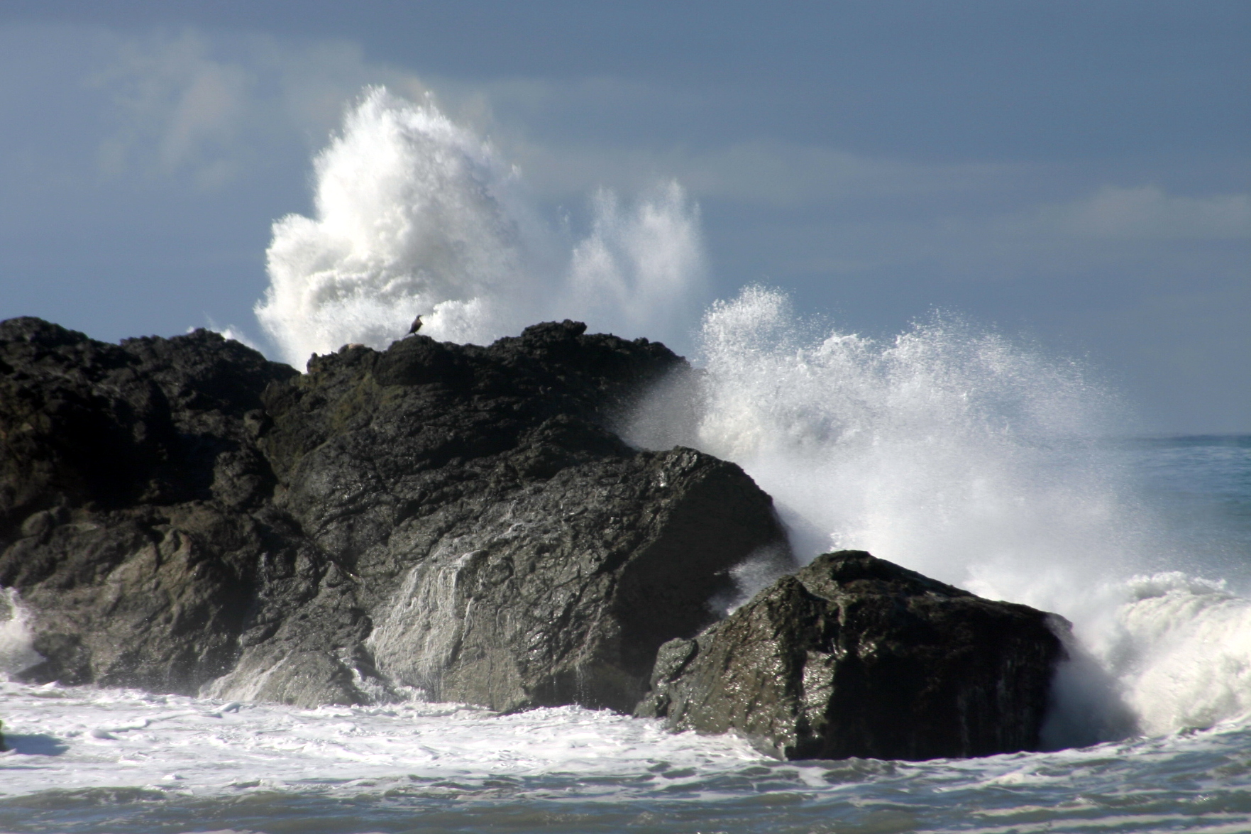
Black Sand Beach
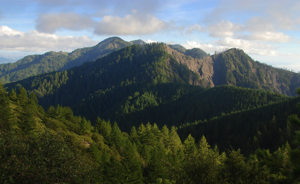
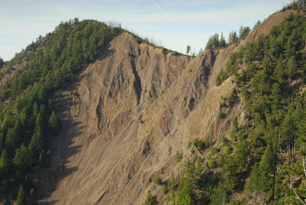
King Range View, Humboldt County, California
King Crest Trail view back onto King Peak, King Range, Humboldt County, California
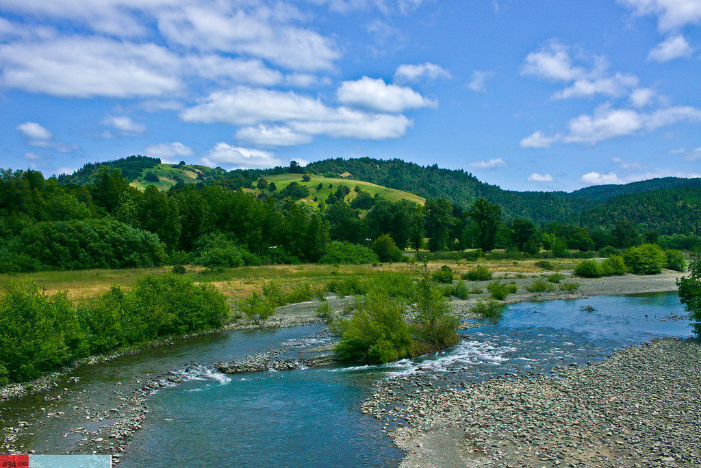
Take Me to the River, Please?
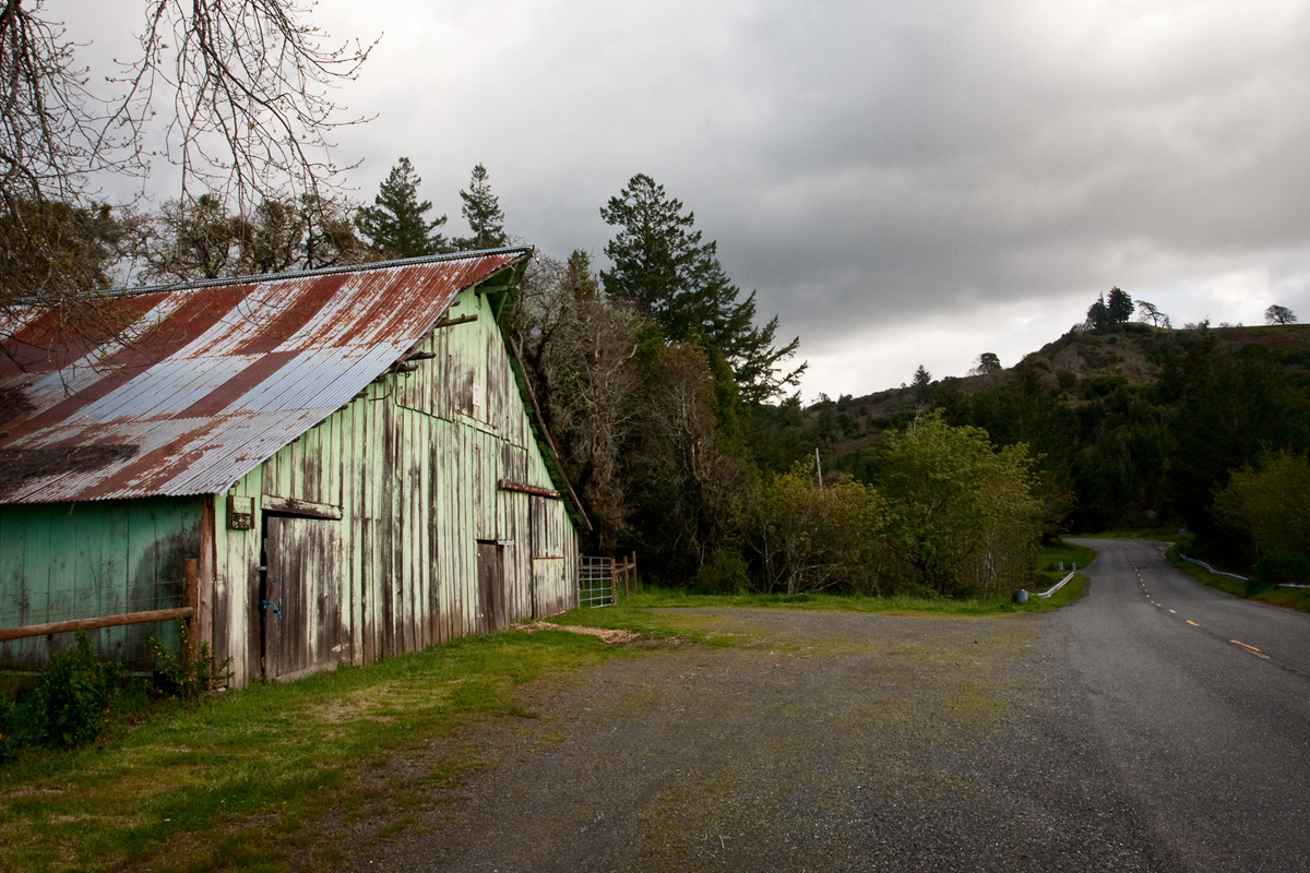
Barn on Mattole Road

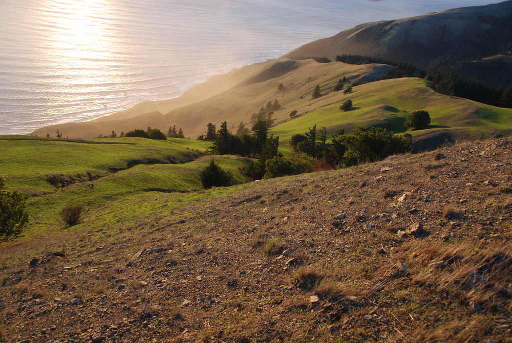
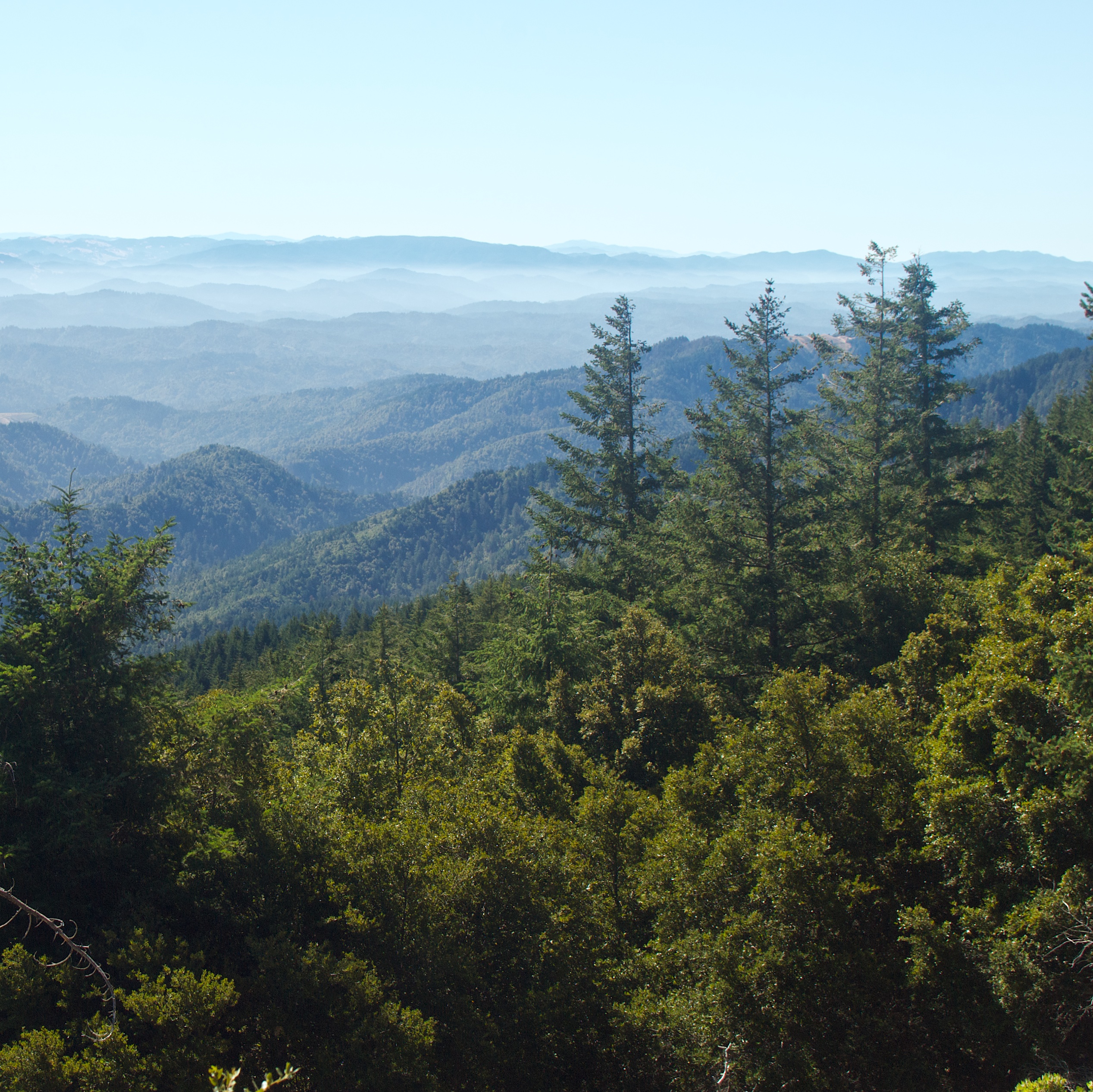
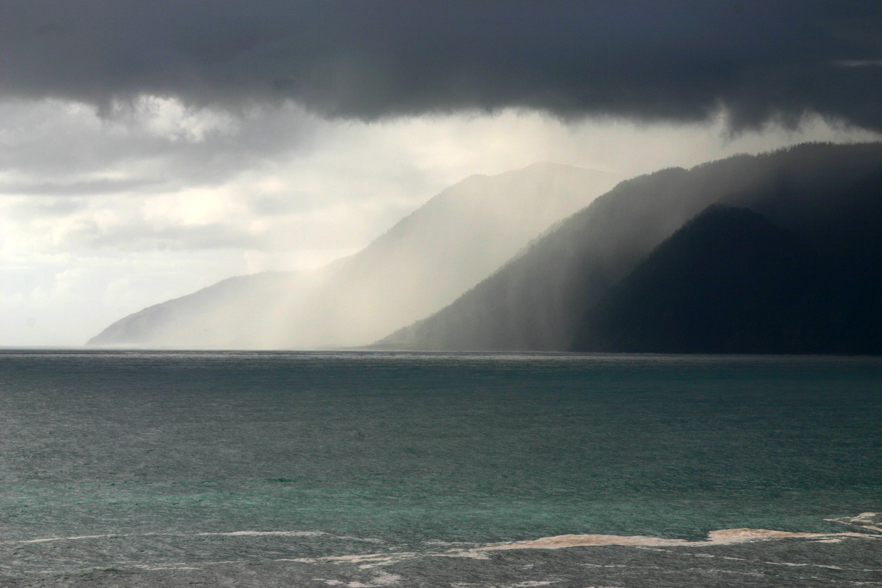
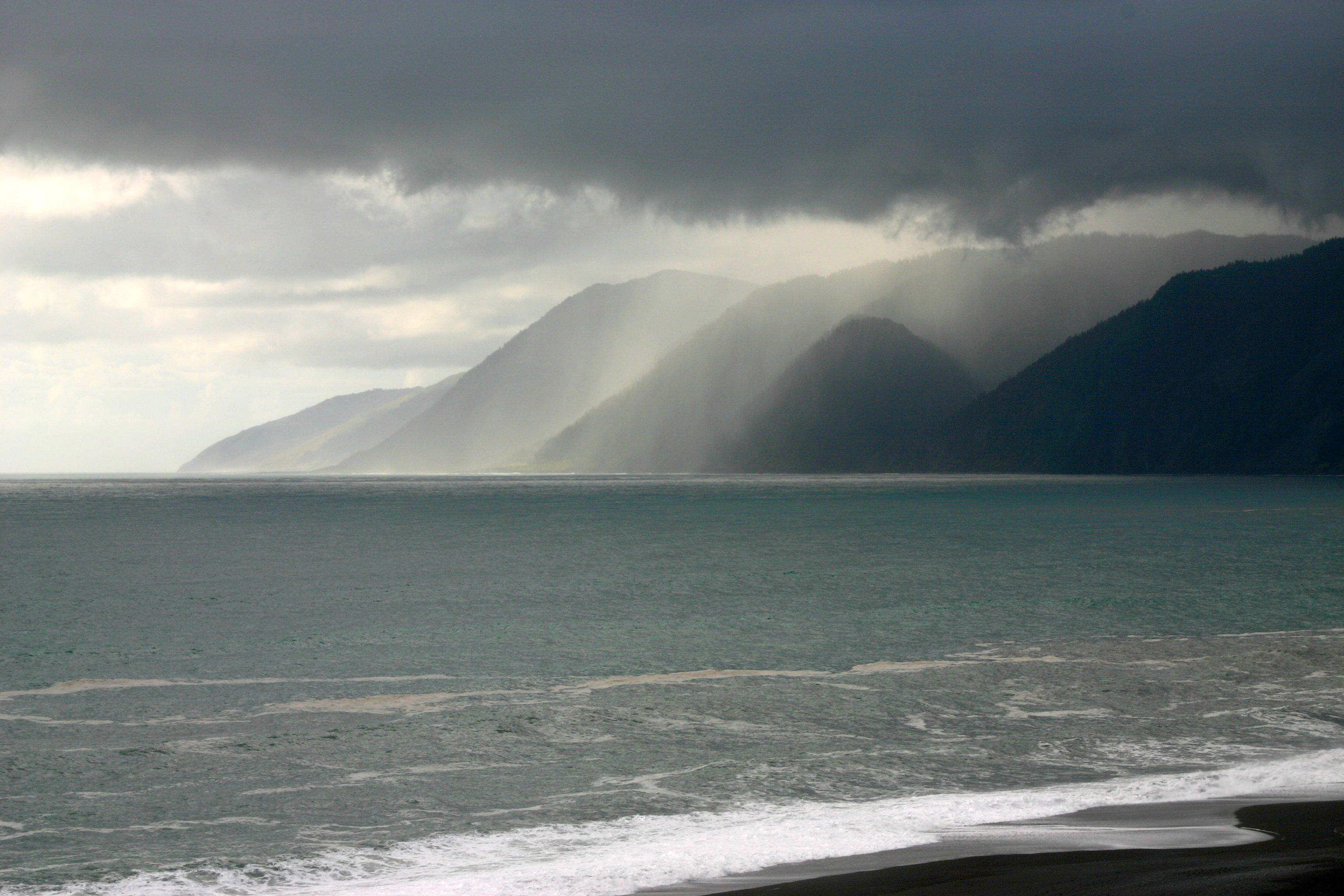
View to ocean from King crest Trail, King Range, Humboldt County, California
View of King Crest Trail from Rattlesnake Ridge Trail, King Range, Humboldt County, California

DSCF1401_edited-1
Mattole Road View 1
view from King's Peak
118-1865_IMG

Black Sands Beach

How old mountains drip with sunset
0218-120718
Telegraph Creek
0312-095245
0502-172507

how I float across time
0420-090034
0420-085252
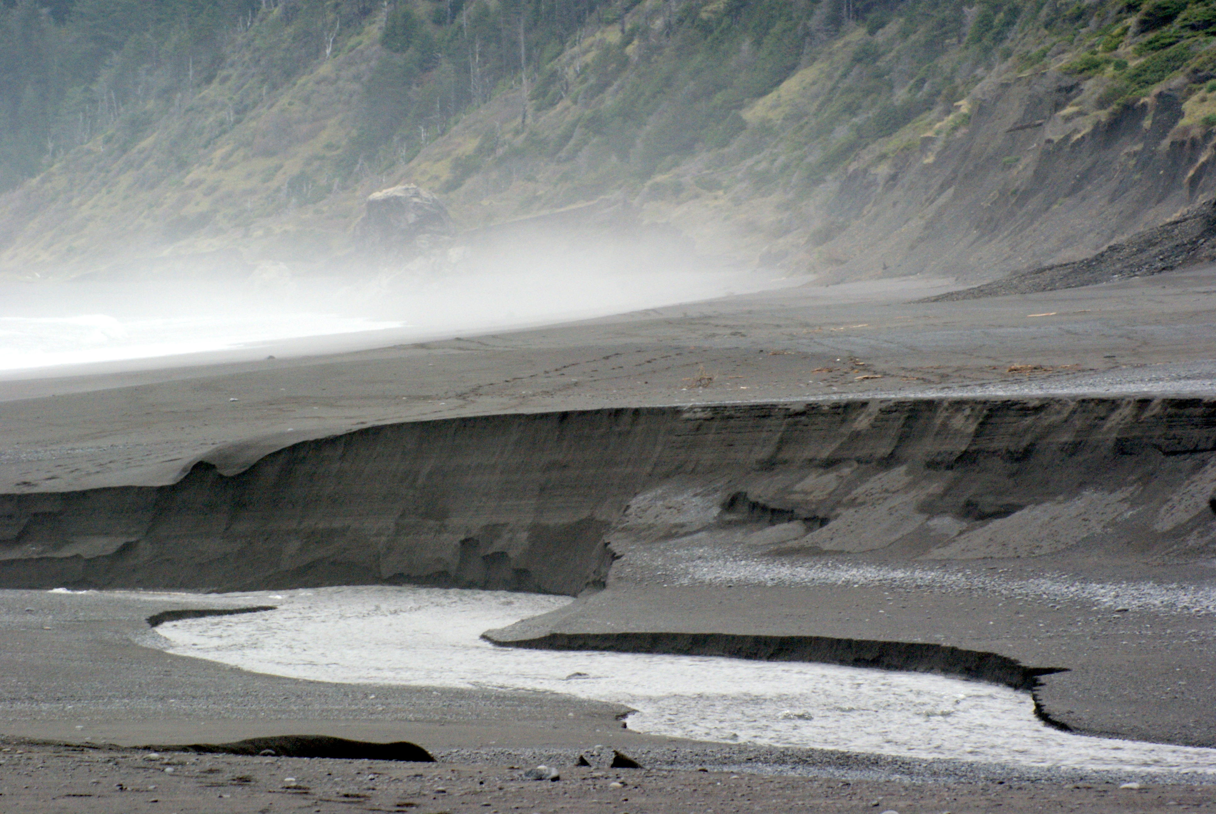
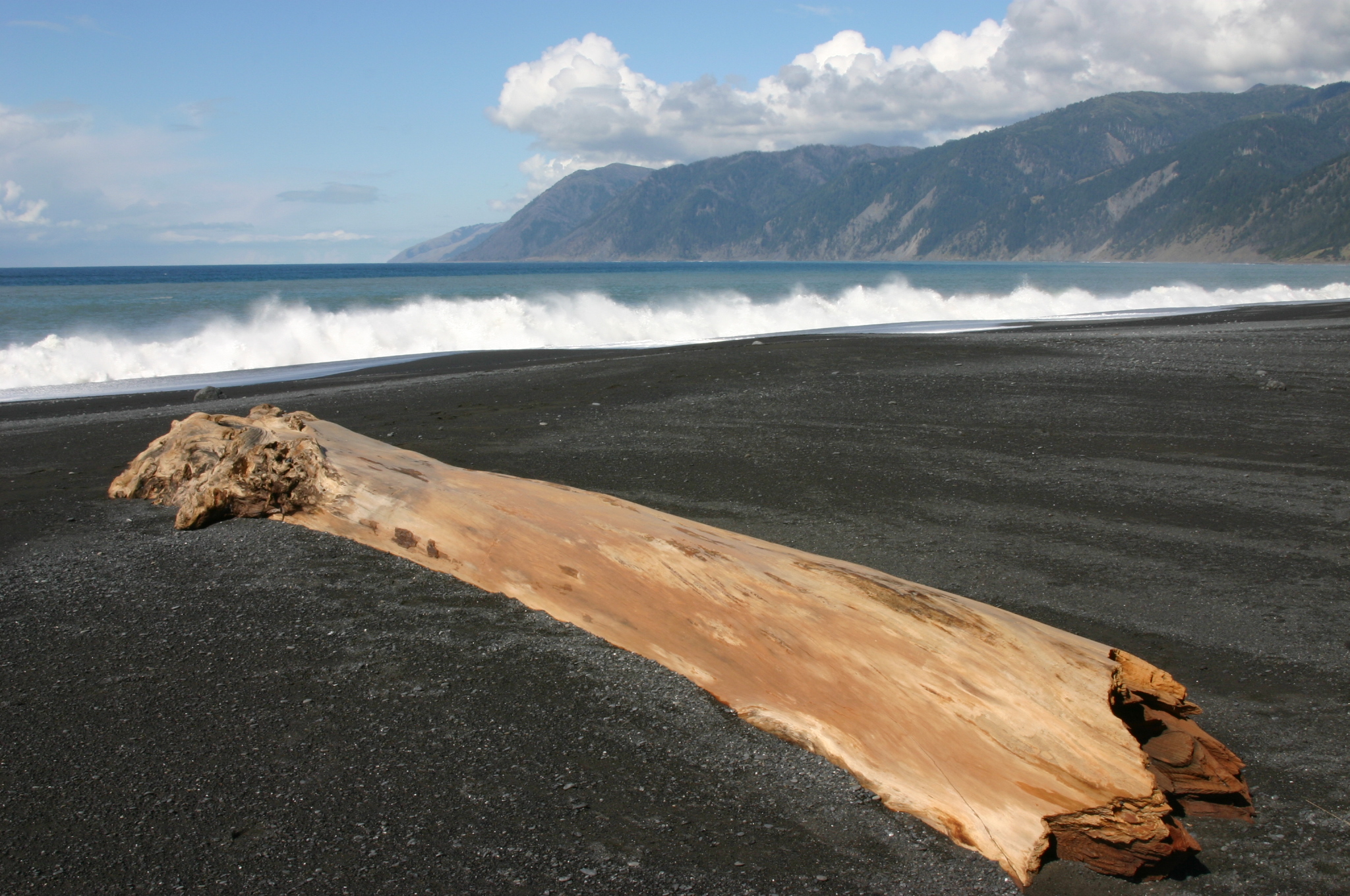
Black Sands Beach
0301-145041-001
1111-090121
0424-163459

0217-093213
0502-172715
0423-180222

1110-163953
Beautiful Countryside
0430-152900
6.27.18. The Lost Coast
0218-120702
Topographic Map of King Range, California, USA
Find elevation by address:

Places near King Range, California, USA:
6730 Wilder Ridge Rd
Honeydew
Mattole Rd, Honeydew, CA, USA
Wilder Ridge Rd, Garberville, CA, USA
12023 Wilder Ridge Rd
Wilder Ridge Rd, Garberville, CA, USA
Ettersburg
248 Seafoam Rd
36330 Mattole Rd
141 Cove Point W
89 Atchinson Ct
88 Warden Ct
Mattole Road
Briceland Rd, Whitethorn, CA, USA
2003 Conklin Creek Rd
Petrolia
Road A
Whitethorn
Lighthouse Rd, Petrolia, CA, USA
Briceland Thorn Rd, Garberville, CA, USA
Recent Searches:
- Elevation of 62 Abbey St, Marshfield, MA, USA
- Elevation of Fernwood, Bradenton, FL, USA
- Elevation of Felindre, Swansea SA5 7LU, UK
- Elevation of Leyte Industrial Development Estate, Isabel, Leyte, Philippines
- Elevation of W Granada St, Tampa, FL, USA
- Elevation of Pykes Down, Ivybridge PL21 0BY, UK
- Elevation of Jalan Senandin, Lutong, Miri, Sarawak, Malaysia
- Elevation of Bilohirs'k
- Elevation of 30 Oak Lawn Dr, Barkhamsted, CT, USA
- Elevation of Luther Road, Luther Rd, Auburn, CA, USA