Elevation of King City, CA, USA
Location: United States > California > Monterey County >
Longitude: -121.12602
Latitude: 36.2127439
Elevation: 102m / 335feet
Barometric Pressure: 100KPa
Elevation Map:
Satellite Map:
Related Photos:

Greyhound Americanos 60556 King City (MCI 102DL3)

#roadtrip #sunset in the rear view. #nextstop Paso Robles.

Life in the Rear View
... And enjoy the view. I was driving on a back road in California when I took this pic. Awed by the beauty surrounding me, staring open-mouthed at the scenery, I came upon this sign. All I could do was say "Ok" and get out of the car to enjoy the view.
One More View from PIT1

View from PIT1

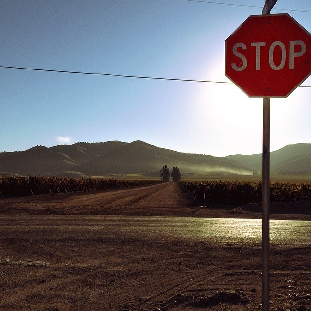
King City, Ca
Views from the Amtrak Coast Starlight
Another View from PIT1

View from my classroom door on a sunny February afternoon

View from the back of my classroom
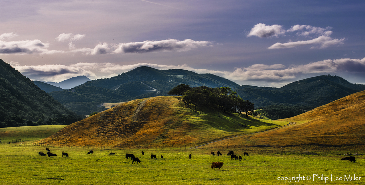
Grazing in the Clouds
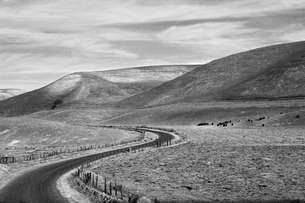
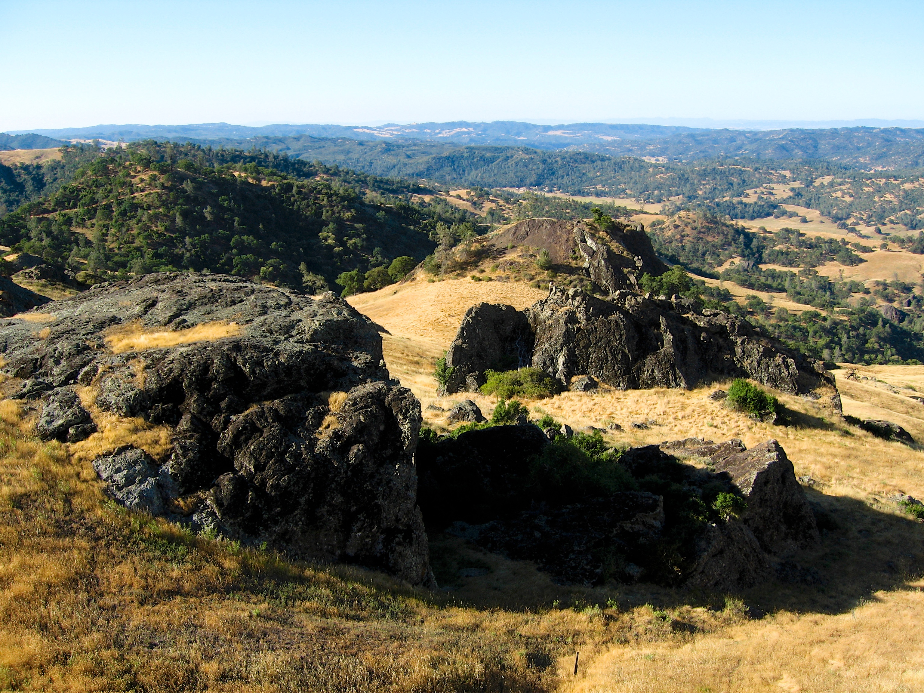
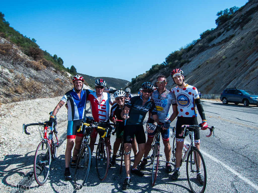
Wild Horse Canyon

Lonoak Road, San Benito County, CA
W drodze do Big Sur
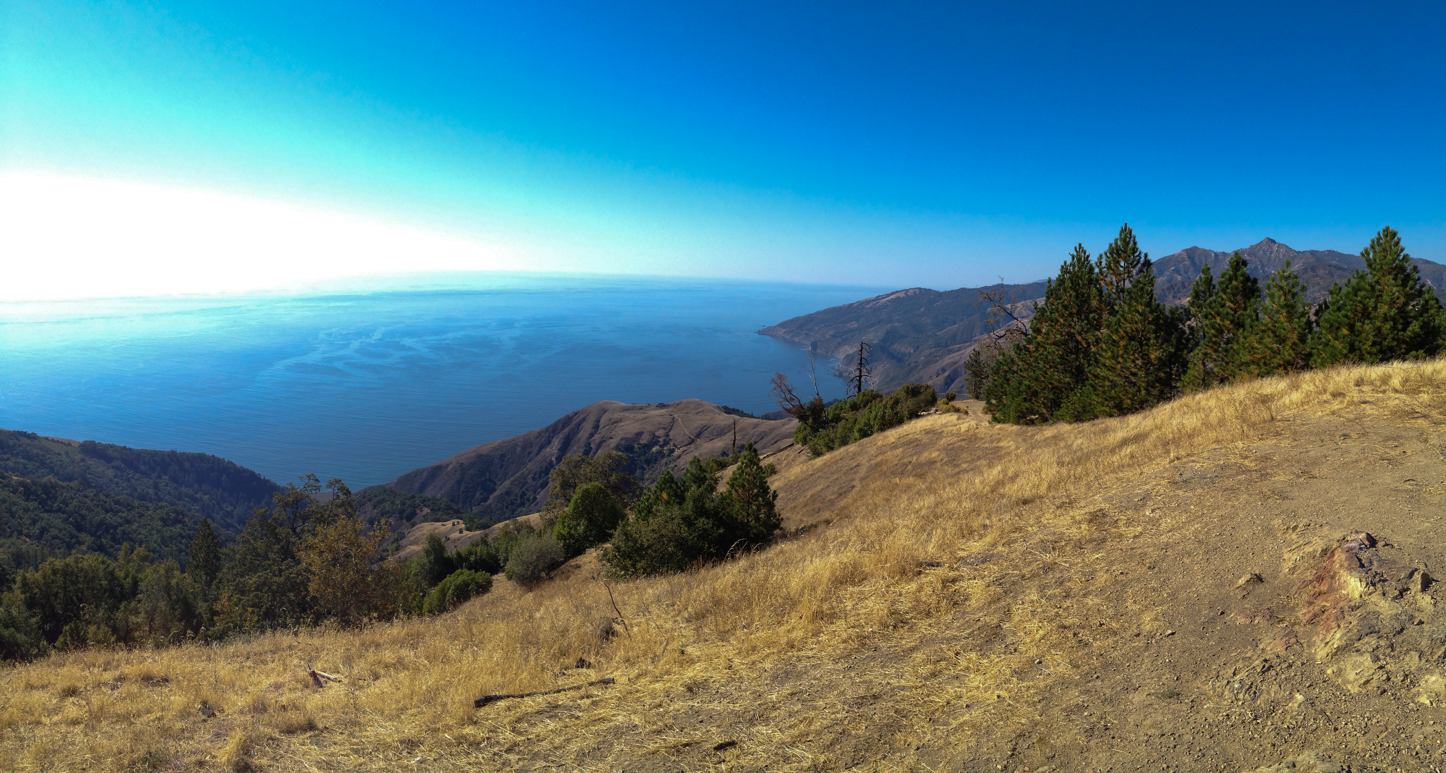
Pacific Ocean panorama from Prewitt Ridge, Los Padres National Forest south of Big Sur, California
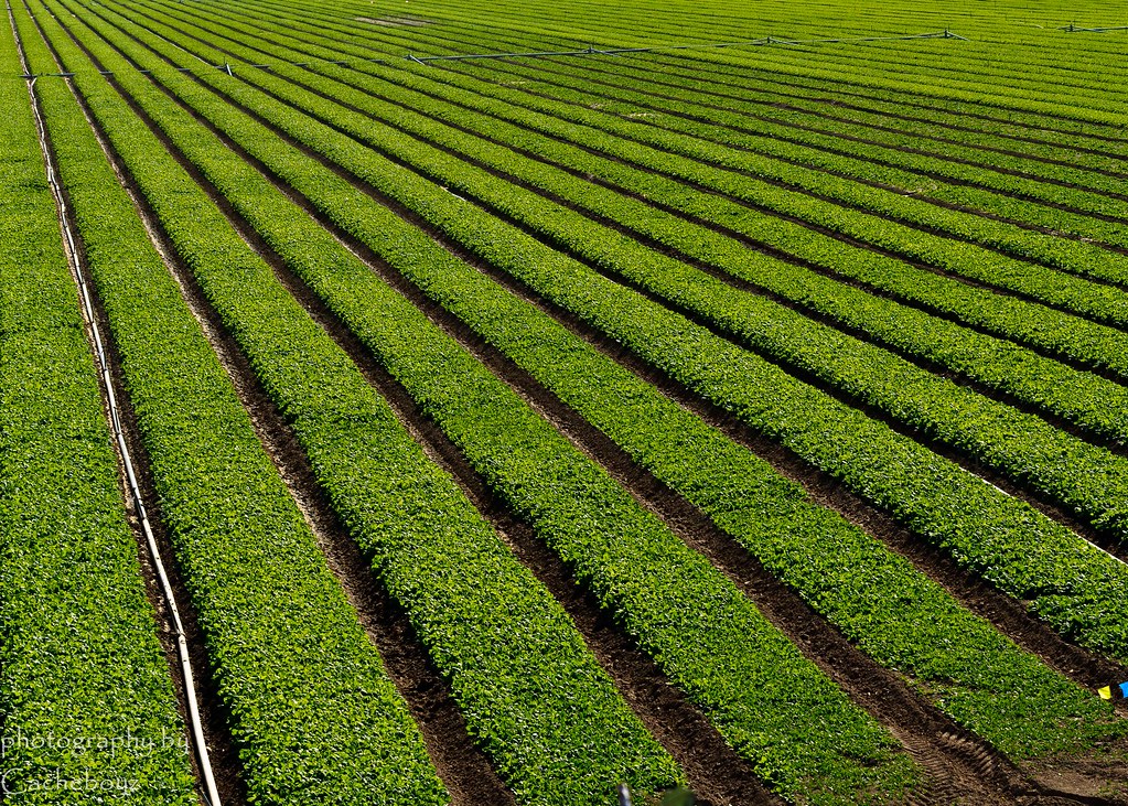
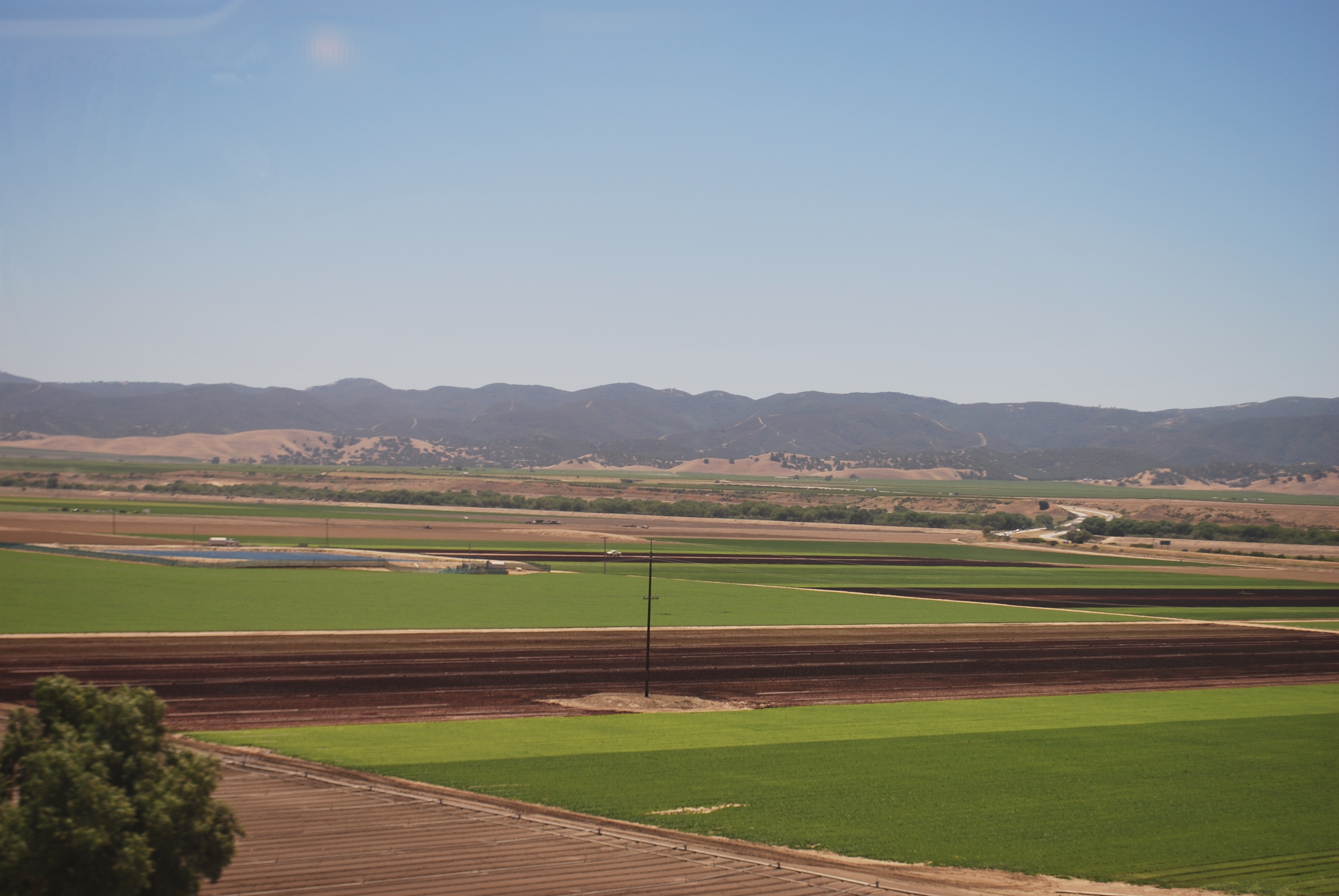
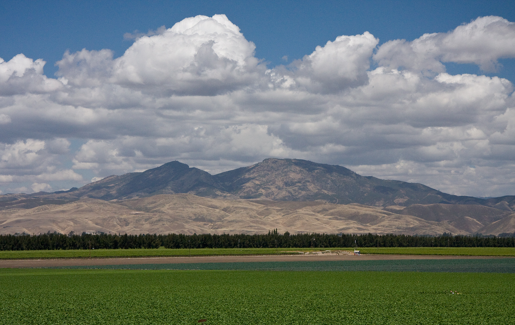
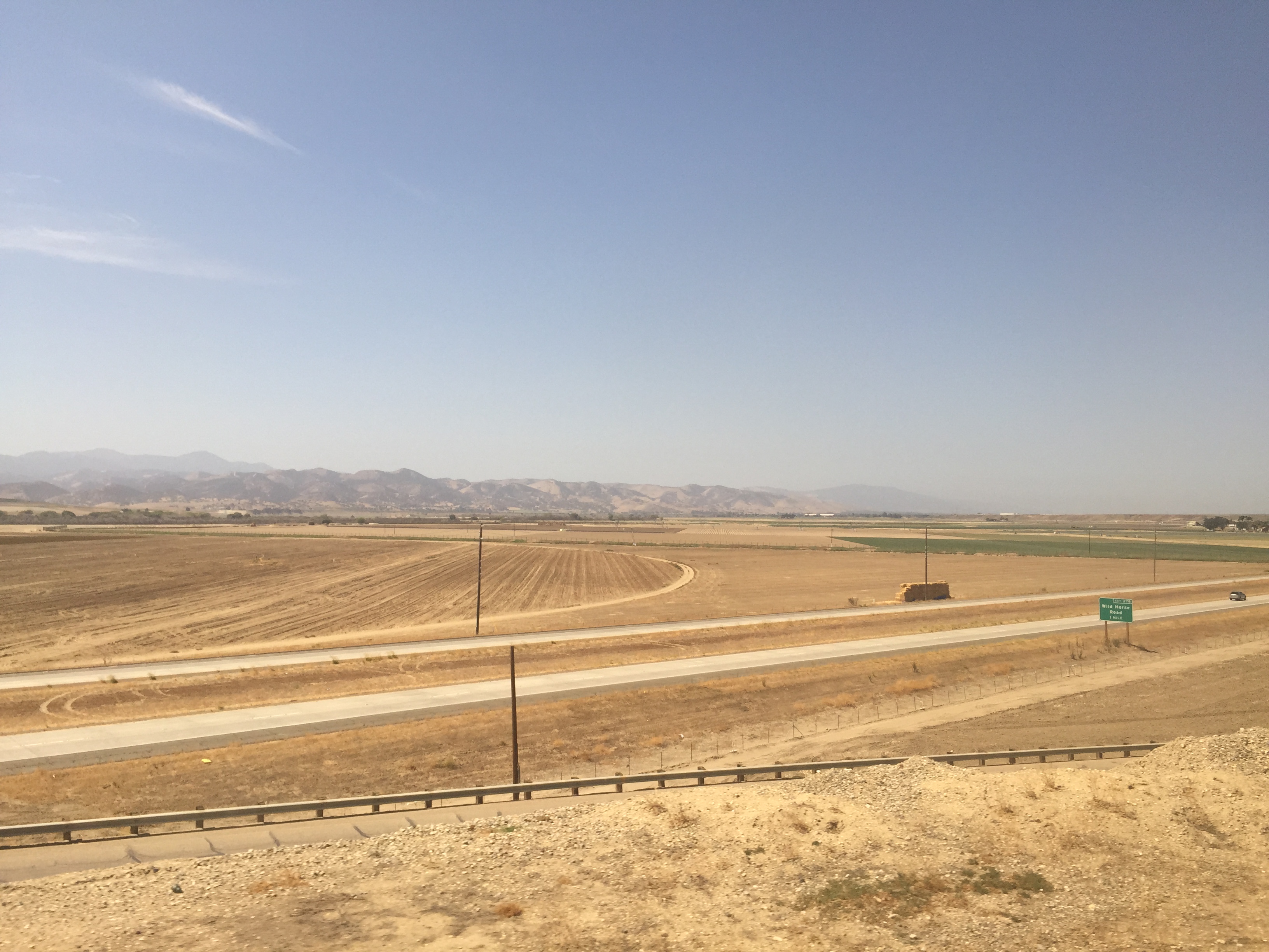
San Lucas Crops
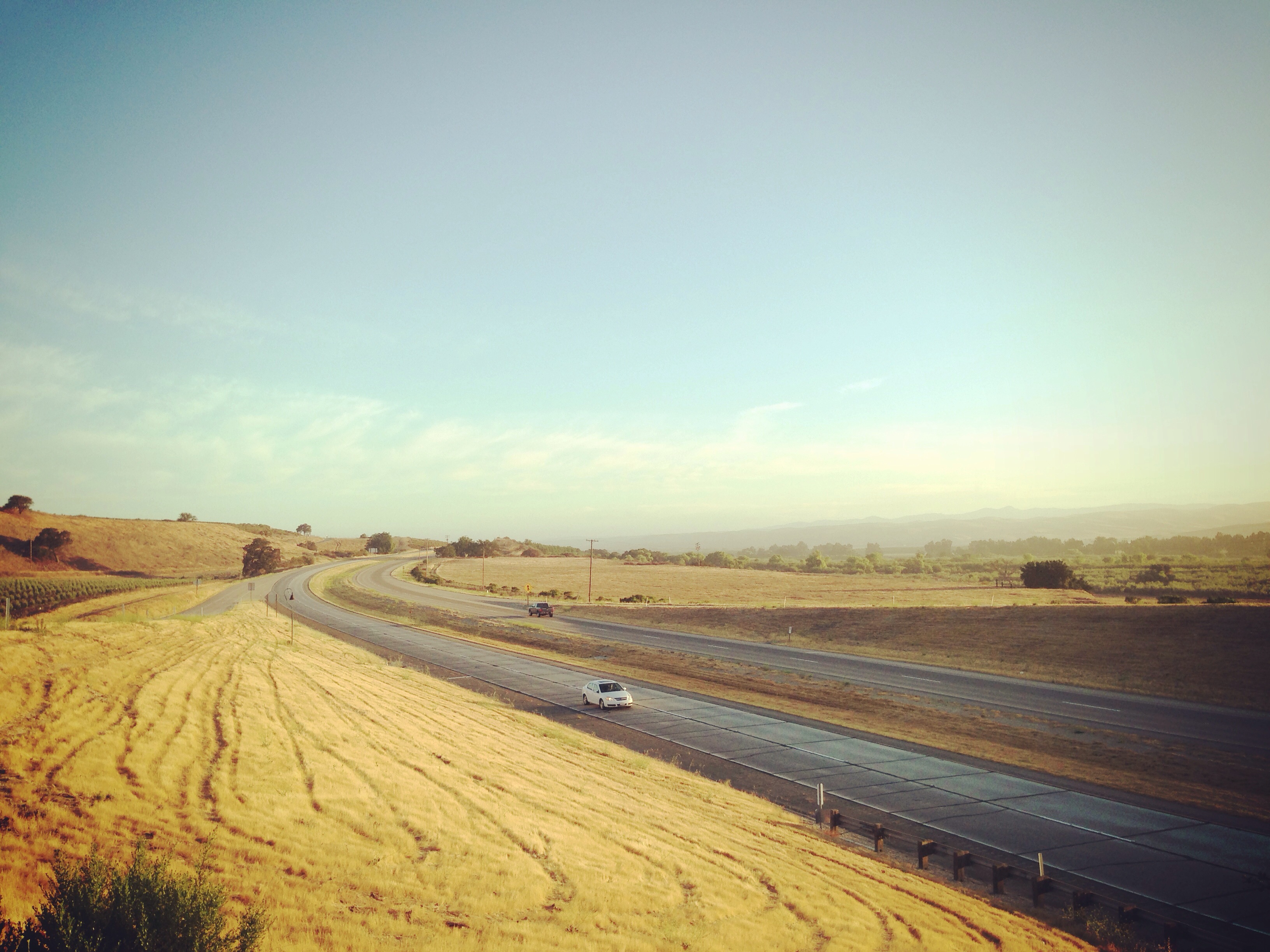
101 San Francisco > Los Angeles

California Dreaming

_4100049.NEF
Current status:
Carmel Valley Road, w drodze do Big Sur
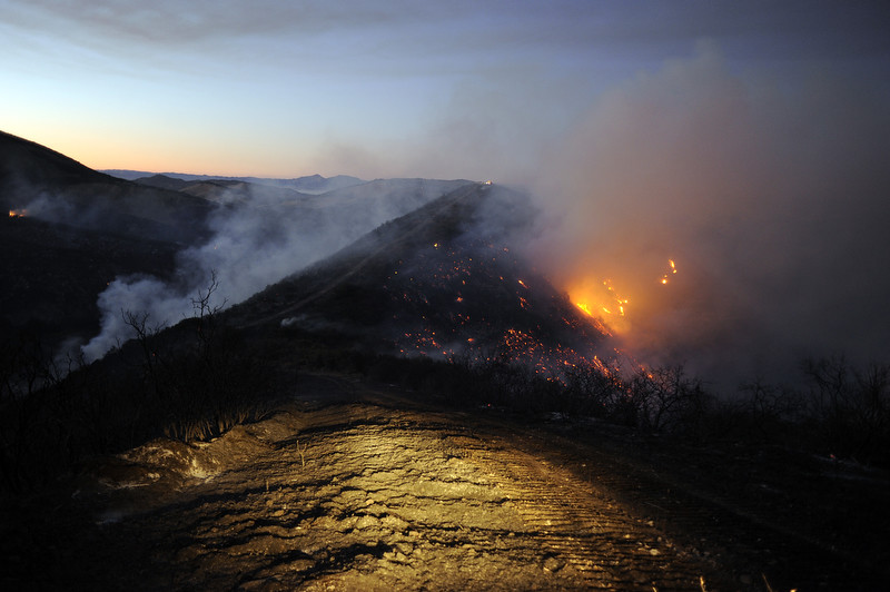
Reliz Fire 2011
IMG_1593.jpg
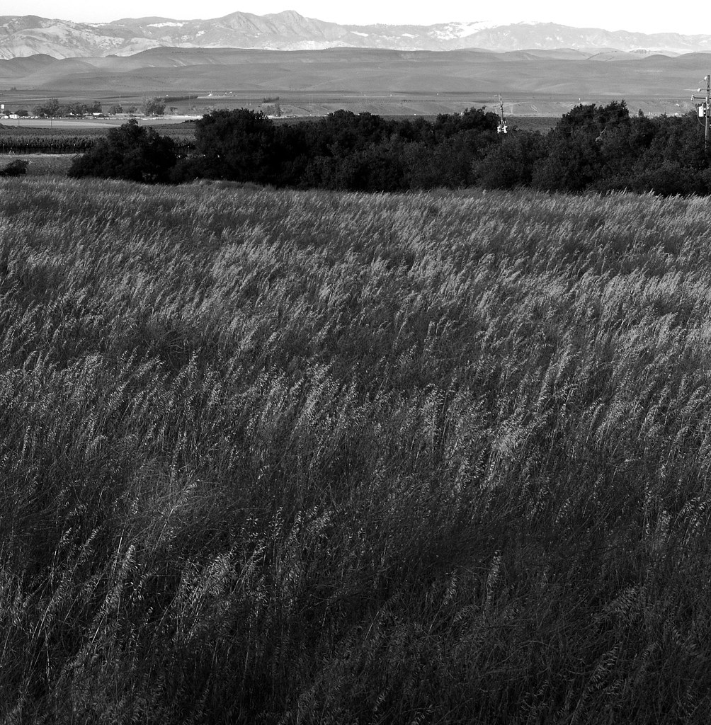
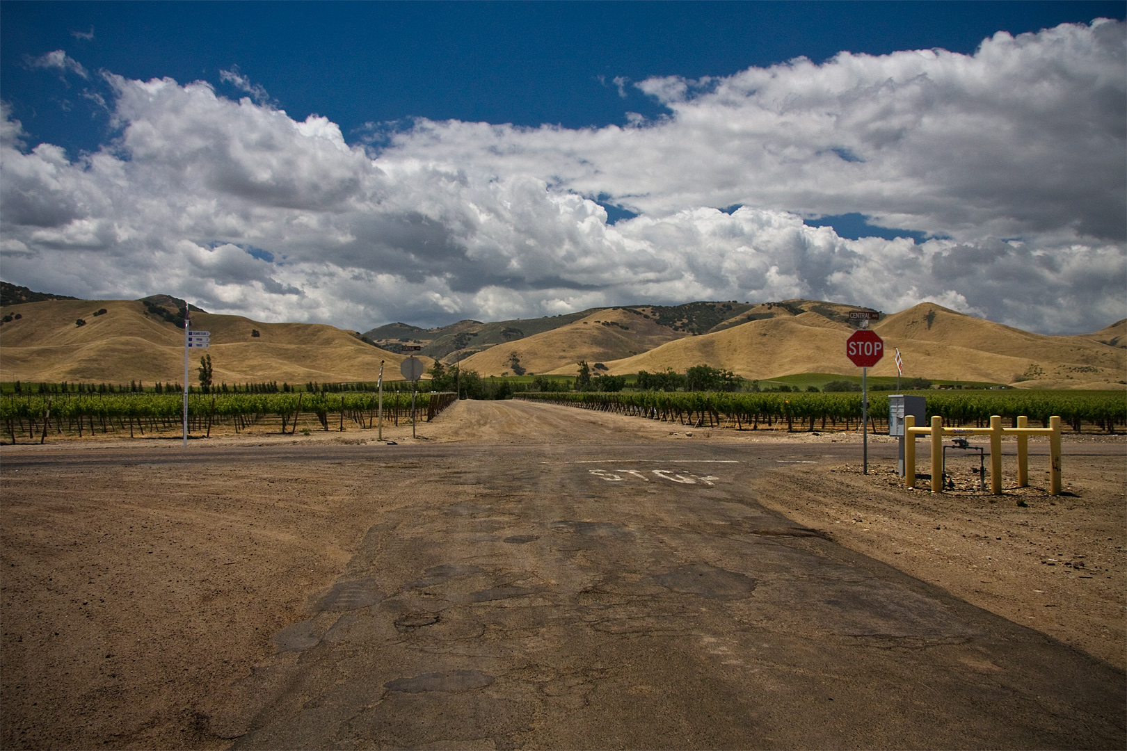
The Field
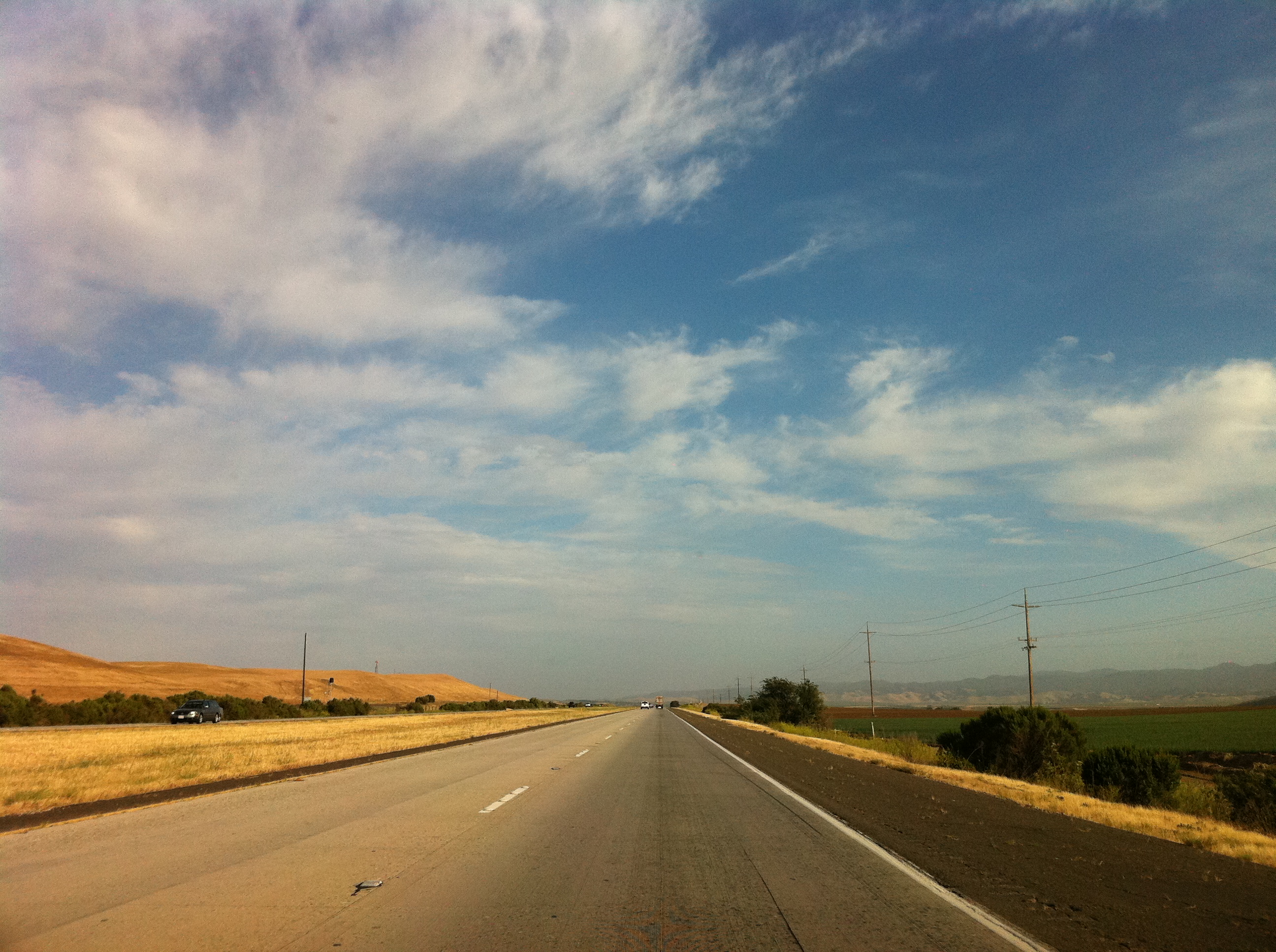
Amtrak Coast Starlight
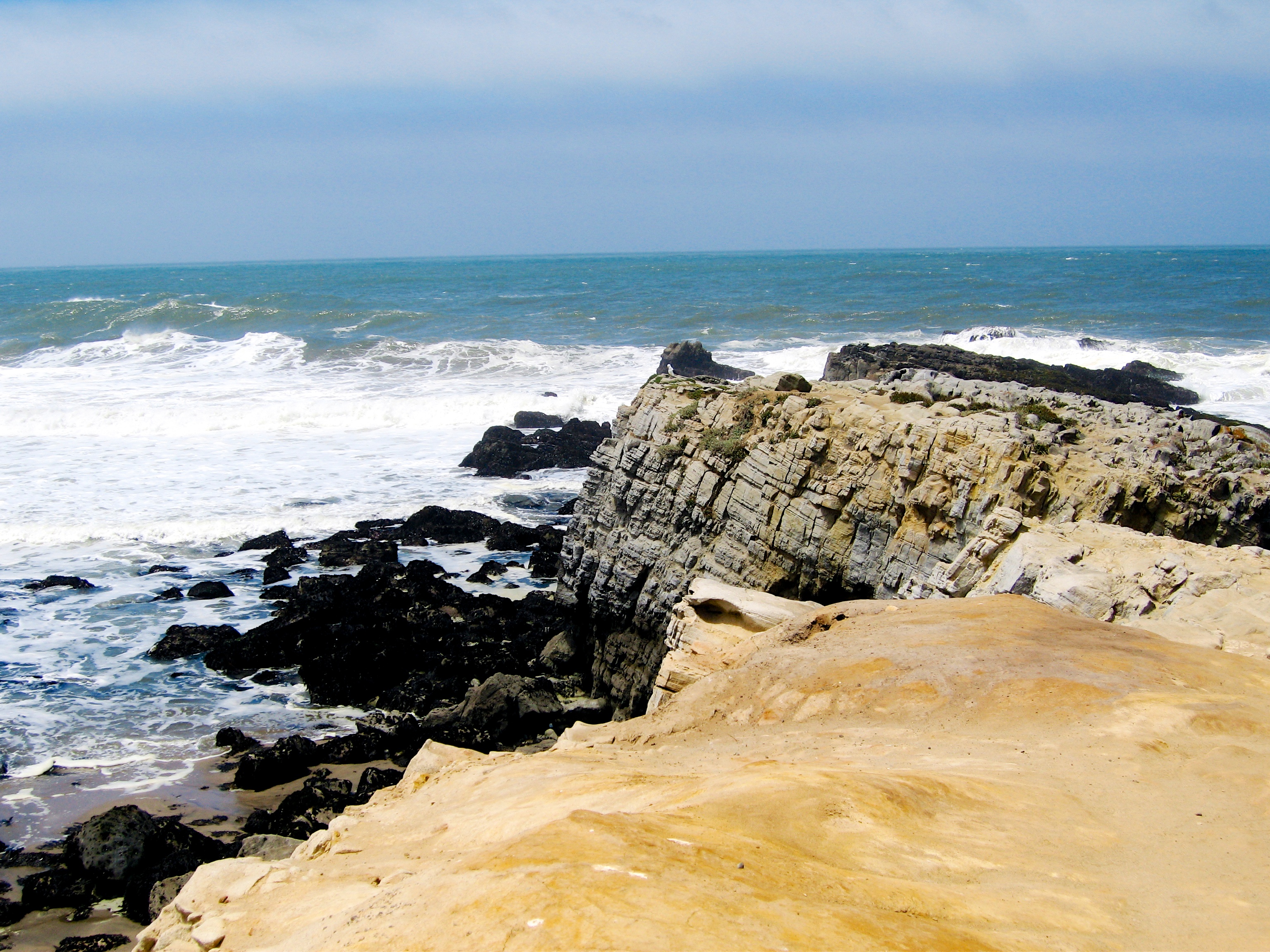
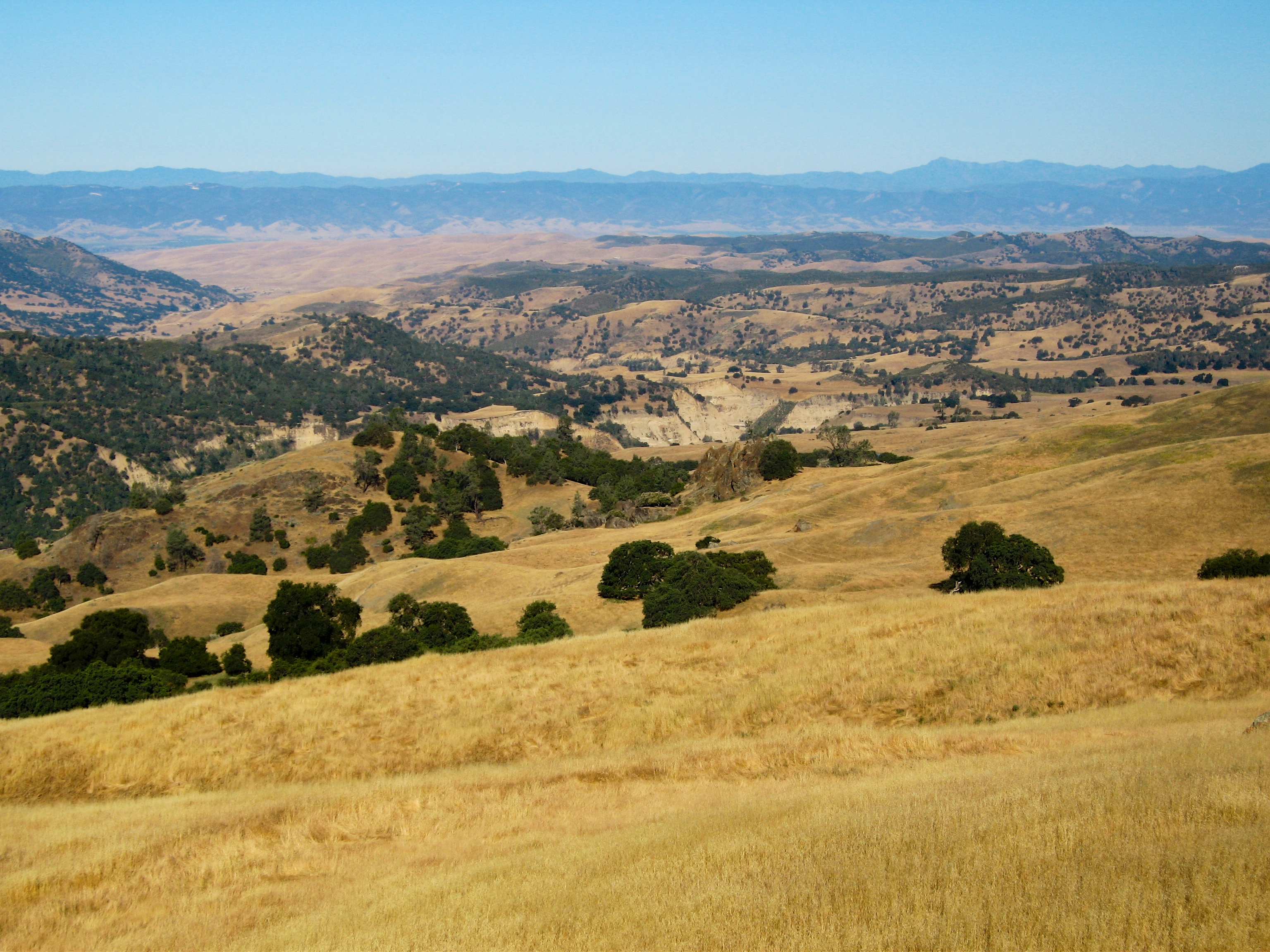
Monterey Formation
Topographic Map of King City, CA, USA
Find elevation by address:

Places in King City, CA, USA:
Lonoak Rd, King City, CA, USA
Metz Rd, King City, CA, USA
Pine Canyon Rd, King City, CA, USA
Spreckels Road
Places near King City, CA, USA:
242 Rio Vista Dr
Spreckels Road
Pine Canyon Rd, King City, CA, USA
Metz Rd, King City, CA, USA
Main St, San Lucas, CA, USA
El Camino Real, Greenfield, CA, USA
Greenfield
Lonoak Rd, King City, CA, USA
Metz-Soledad Rd, Soledad, CA, USA
Fort Hunter Liggett Exchange
Jolon
Fort Hunter Liggett Visitor Control Center
Monterey County
Williams Hill Recreation Area
67901 Jolon Rd
Lockwood
Jolon Rd, Lockwood, CA, USA
Pinnacles Campground
Pinnacles National Park
Mile End Rd, Soledad, CA, USA
Recent Searches:
- Elevation of Rojo Ct, Atascadero, CA, USA
- Elevation of Flagstaff Drive, Flagstaff Dr, North Carolina, USA
- Elevation of Avery Ln, Lakeland, FL, USA
- Elevation of Woolwine, VA, USA
- Elevation of Lumagwas Diversified Farmers Multi-Purpose Cooperative, Lumagwas, Adtuyon, RV32+MH7, Pangantucan, Bukidnon, Philippines
- Elevation of Homestead Ridge, New Braunfels, TX, USA
- Elevation of Orchard Road, Orchard Rd, Marlborough, NY, USA
- Elevation of 12 Hutchinson Woods Dr, Fletcher, NC, USA
- Elevation of Holloway Ave, San Francisco, CA, USA
- Elevation of Norfolk, NY, USA