Elevation of Kimberly Cir, Pleasanton, TX, USA
Location: United States > Texas > Atascosa County > Pleasanton >
Longitude: -98.503563
Latitude: 28.9521397
Elevation: 119m / 390feet
Barometric Pressure: 100KPa
Elevation Map:
Satellite Map:
Related Photos:

Double strut
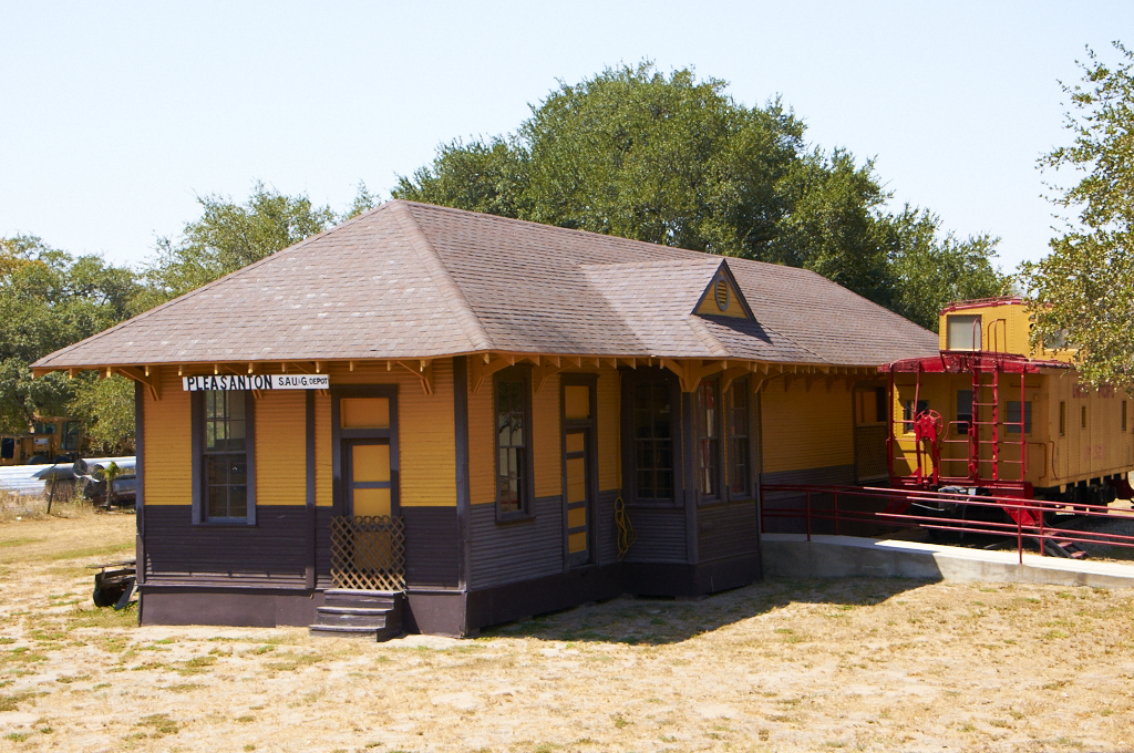
Train Depot
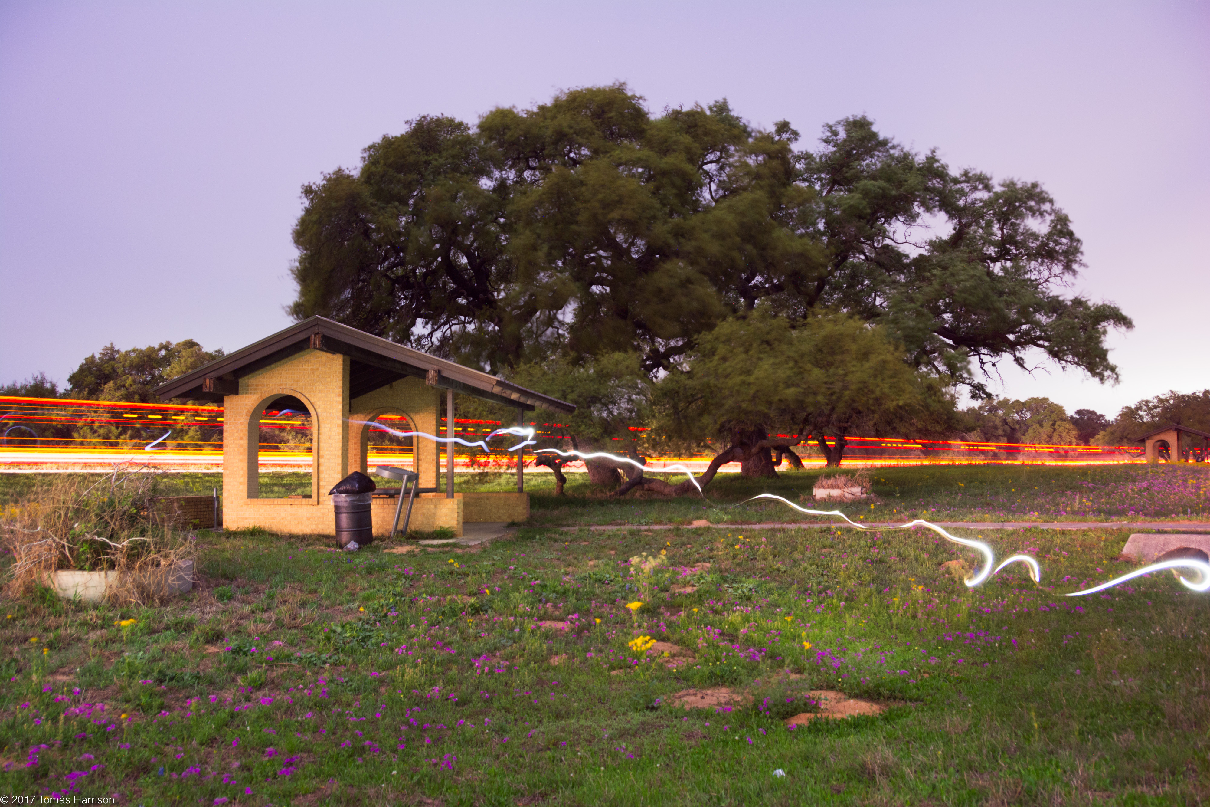
night for day

Sunset on Mydeana lake

Mydeana Lake

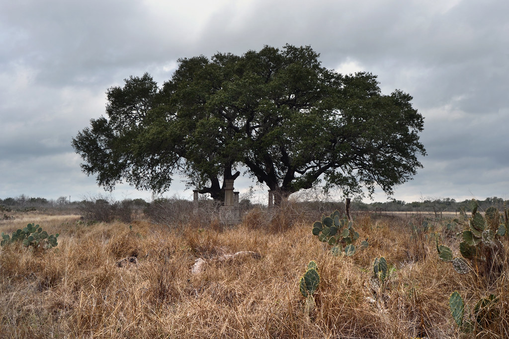
Texas Landscape

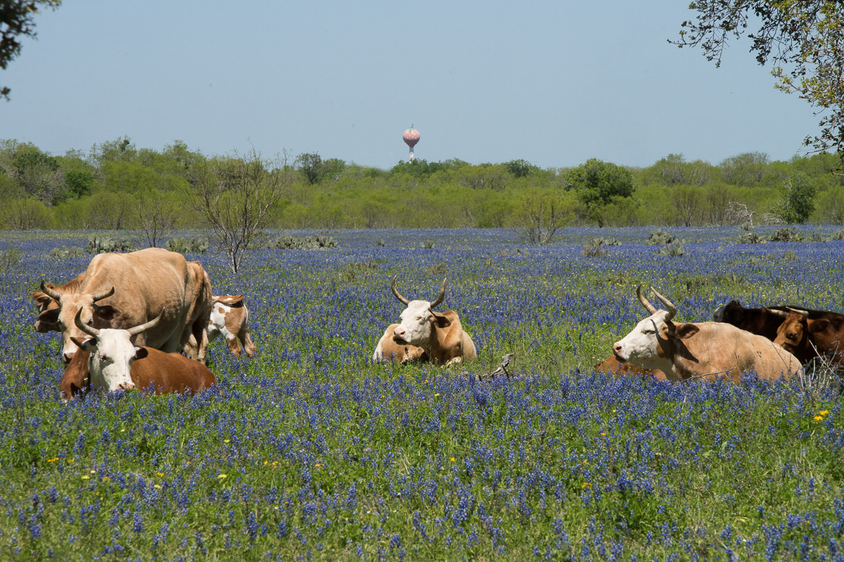
Bluebonnets and Prairie Verbena

Wildflower Vortex

Atascosa River
STex-5

Pleasanton Country Club
The Coastal Plains
Topographic Map of Kimberly Cir, Pleasanton, TX, USA
Find elevation by address:

Places near Kimberly Cir, Pleasanton, TX, USA:
Pleasanton
Jourdanton
Zanderson Ave, Jourdanton, TX, USA
Poteet
Atascosa County
6030 Fm1470
Leming
Old, Pleasanton, TX, USA
FM, Jourdanton, TX, USA
FM, Jourdanton, TX, USA
US-, Pleasanton, TX, USA
16 I Ave, Pleasanton, TX, USA
30 Edwards Ave, Charlotte, TX, USA
Charlotte
Brown Rd, Poteet, TX, USA
Savannah Woods
FM, San Antonio, TX, USA
1460 Martinez Losoya Rd
Pleasanton Rd, San Antonio, TX, USA
Somerset
Recent Searches:
- Elevation of Homestead Ridge, New Braunfels, TX, USA
- Elevation of Orchard Road, Orchard Rd, Marlborough, NY, USA
- Elevation of 12 Hutchinson Woods Dr, Fletcher, NC, USA
- Elevation of Holloway Ave, San Francisco, CA, USA
- Elevation of Norfolk, NY, USA
- Elevation of - San Marcos Pass Rd, Santa Barbara, CA, USA
- Elevation of th Pl SE, Issaquah, WA, USA
- Elevation of 82- D Rd, Captain Cook, HI, USA
- Elevation of Harlow CM20 2PR, UK
- Elevation of Shenyang Agricultural University, Dong Ling Lu, Shen He Qu, Shen Yang Shi, Liao Ning Sheng, China