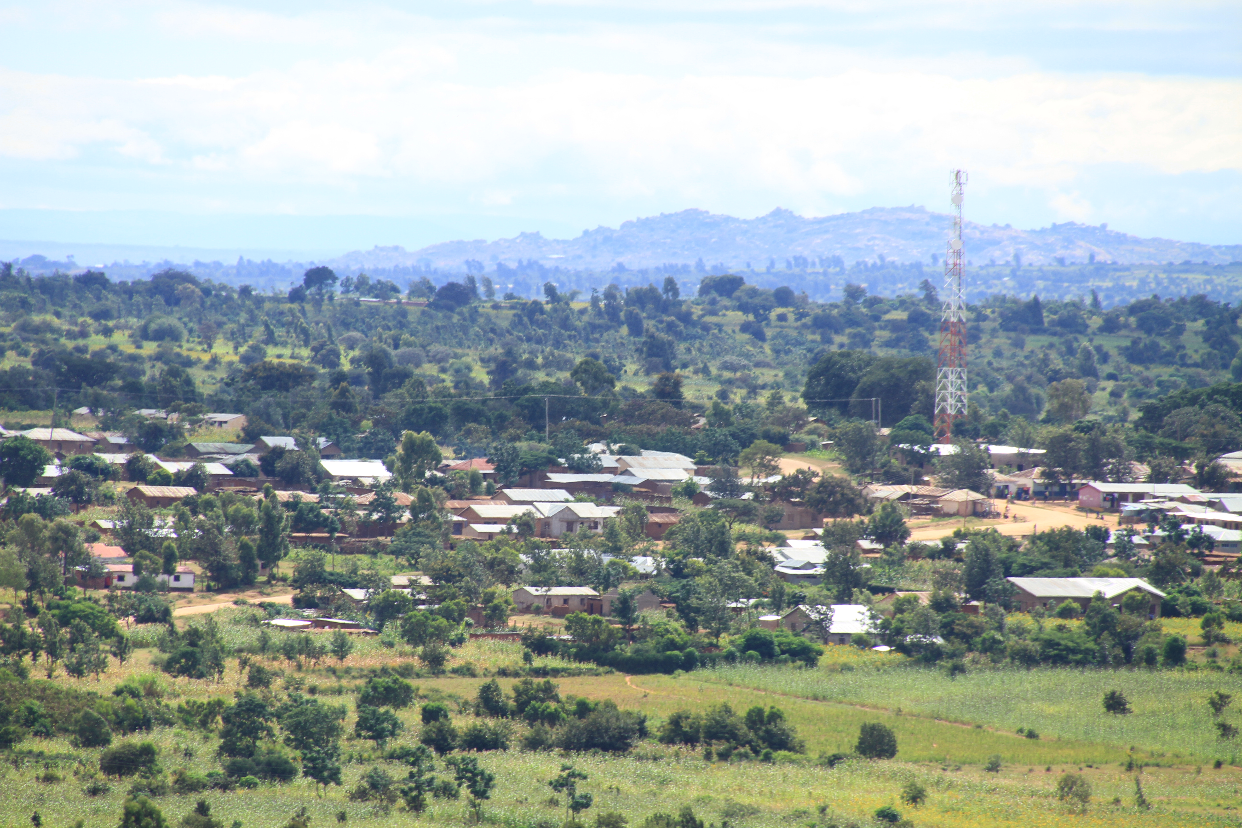
Elevation of Kijota, Tanzania
Location: Tanzania > Singida Region > Singida Rural >
Longitude: 34.8538933
Latitude: -4.5841581
Elevation: 1623m / 5325feet
Barometric Pressure: 83KPa
Elevation Map:
Satellite Map:
Related Photos:

IMG_2462

IMG_2489

P4240559

IMG_2498
IMG_2473

14

IMG_2842

IMG_2841

IMG_2840

IMG_2839

P4240568

P4240566

P4240562

P4240548

sky

IMG_2666

IMG_2647

IMG_2605

IMG_2599

IMG_2595

IMG_2593

IMG_2588

IMG_2587

IMG_2586

IMG_2581
Topographic Map of Kijota, Tanzania
Find elevation by address:

Places near Kijota, Tanzania:
Recent Searches:
- Elevation of Woodland Oak Pl, Thousand Oaks, CA, USA
- Elevation of Brownsdale Rd, Renfrew, PA, USA
- Elevation of Corcoran Ln, Suffolk, VA, USA
- Elevation of Mamala II, Sariaya, Quezon, Philippines
- Elevation of Sarangdanda, Nepal
- Elevation of 7 Waterfall Way, Tomball, TX, USA
- Elevation of SW 57th Ave, Portland, OR, USA
- Elevation of Crocker Dr, Vacaville, CA, USA
- Elevation of Pu Ngaol Community Meeting Hall, HWHM+3X7, Krong Saen Monourom, Cambodia
- Elevation of Royal Ontario Museum, Queens Park, Toronto, ON M5S 2C6, Canada